Lexington Beach
Lexington
Kayak and Swim
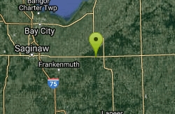
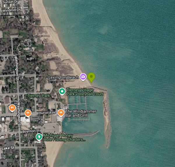
Lexington sits on the Lake Huron shore in Sanilac County, about 25 miles north of Port Huron on M-25, and the swim beach there belongs to the village rather than to the state. The sand is at Patrick Tierney Memorial Park, usually just called Tierney Park, and it runs north from the root of the harbor breakwall. That distinction matters, because the waterfront facilities here stack up tight against each other and are run by different bodies. Lexington State Harbor, immediately south, is a Michigan DNR marina. The long stone arm reaching out into the lake is a US Army Corps of Engineers breakwall. The beach and the lawn behind it are the Village of Lexington's, and the village charges nothing to walk onto them.
The water access point is at roughly 43.27005, -82.52395, right where the sand meets the breakwall. From there the beach runs several hundred yards north along an open shore with nothing to break the swell. The bottom is sand and stays shallow a good distance out, which is what makes it work for kids, but it also means the whole shelf gets stirred up in an east wind and the water turns brown and choppy fast. The south end, tucked in against the breakwall, is the calmest water on the beach. Farther north the shoreline gives way to cobble and flat limestone slabs below a wooded bluff.
Fees are simple at the beach and less simple next door. The village does not charge admission and does not charge for beach parking. The DNR does charge at the Boynton Street boat launch, and a Michigan Recreation Passport is required for vehicle entry at designated state boating access sites. That passport runs $15 a year for Michigan residents bought at license plate renewal as of 2026, and it is billed separately from harbor slip reservations. None of it applies if you are only going swimming.
There is no lifeguard. Nobody watches this beach and swimming is at your own risk, which is the norm at Michigan public beaches.
Water quality is monitored here, and it has failed before. The Sanilac County Health Department samples county beaches weekly from Memorial Day through Labor Day and posts the results on Thursdays. On June 29, 2023 the department closed Lexington Beach at Tierney Park after a sample averaged 562 E. coli colonies per 100 ml against a state safe swimming limit of 300. Results feed the state BeachGuard system, now part of EGLE's MiEnviro portal, and it is worth a look after heavy rain before you get in.
The park itself closed in September 2025 for a full rebuild and reopened on July 2, 2026 with a new restroom and concession building, an amphitheater, a shoreline boardwalk and more parking. The sand volleyball court, playground, swings and picnic tables are back. The Lexington Arts Council puts on free Friday night concerts in the park through the summer. The harbor next door is another story. The DNR and the Corps have the marina closed from September 2026 through late May 2027 to replace in-water structures, with dredging planned for summer 2027, so expect construction equipment and noise at the south end of the beach.
More Information
Check for beach closures and alerts (BeachGuard)
Find out if a beach near you has advisories or closures that affect your swimming plans
https://www.michigan.gov/egle/maps-data/mienviroportal/beachguardLexington Beach - Swim Guide
Sanilac County is located less than two hours from Detroit and 30 miles north of Port Huron. As part of Michigan's Thumb, the county is home to 42 miles of lakeshore. Lexington Beach is located in the Village of Lexington, a small harbor community along the shores of Lake Huron.
https://www.theswimguide.org/beach/849Lexington Beach at Tierney Park closed due to elevated E. coli levels | Sanilac Broadcasting Company
The Sanilac County Health Department (SCHD) has closed Lexington Beach at Tierney Park following routine E. coli testing. Water samples will be collected at the
https://www.sanilacbroadcasting.com/2023/06/29/lexington-beach-at-tierney-park-closed-due-to-elevated-e-coli-levels/Planned upgrades and closures at Lexington State Harbor
Share or view as webpage | Update preferences
https://content.govdelivery.com/accounts/MIDNR/bulletins/400b750Recreation Passport
The Recreation Passport is required for motorized vehicle access to state parks and recreation areas and state-managed boating access sites, state forest campgrounds, thousands of miles of trails and other outdoor spaces – all year long!
https://www.michigan.gov/dnr/buy-and-apply/rec-ppSanilac County Health Department, MI
The Environmental Health Division of the Sanilac County Health Department is responsible for protecting the public health, and the health of environment. This is accomplished by implementing state-mandated programs and also performing non-mandated services for the local community.
https://sanilachealth.com/environmental_health/index.php
- Plan Ahead and Prepare
- Travel & camp on durable surfaces
- Dispose of waste properly
- Leave what you find
- Minimize campfire impacts
- Respect wildlife
- Be considerate of other visitors
Directions
From Lexington
- Head northwest on Red Mile Rd toward Tattersalls Way (1.2 mi)
- Turn right onto Versailles Rd (0.4 mi)
- Continue onto W High St (0.3 mi)
- Turn left onto Oliver Lewis Way (0.4 mi)
- Continue onto Newtown Pike (3.4 mi)
- Turn right to merge onto I-64 W/
I-75 N toward Louisville/ Cincinnati (2.5 mi) - Take the I-75 N exit toward Georgetown/
Cincinnati (0.5 mi) - Continue onto I-75 N (70.5 mi)
- Keep left to continue on I-71 N/
I-75 N Entering Ohio(3.4 mi) - Keep left to continue on I-75 N, follow signs for DaytonParts of this road may be closed at certain times or days(204 mi)
- Keep right to stay on I-75 NEntering Michigan(55.3 mi)
- Slight left onto I-96 W (signs for US-12 W/
I-94 W/ Lansing/ Michigan Ave) (2.1 mi) - Take exit 190A to merge onto I-94 E toward Port Huron (60.3 mi)
- Take exit 275 toward MI-25/
USA/ Port Huron (1.2 mi) - Turn left onto Pine Grove AvePass by Subway (on the left in 1.9 mi)(2.0 mi)
- Continue onto M-25 N/
24th Ave/ Lake Huron Cir Tour Continue to follow M-25 NPass by Vollmer's Hallmark Shop (on the right)(18.0 mi) - Turn right onto Huron Ave (0.2 mi)
- Turn left to stay on Huron Ave (33 ft)
- Turn left (180 ft)
- Turn right (89 ft)
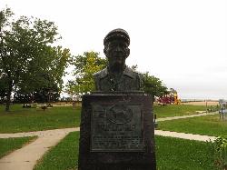
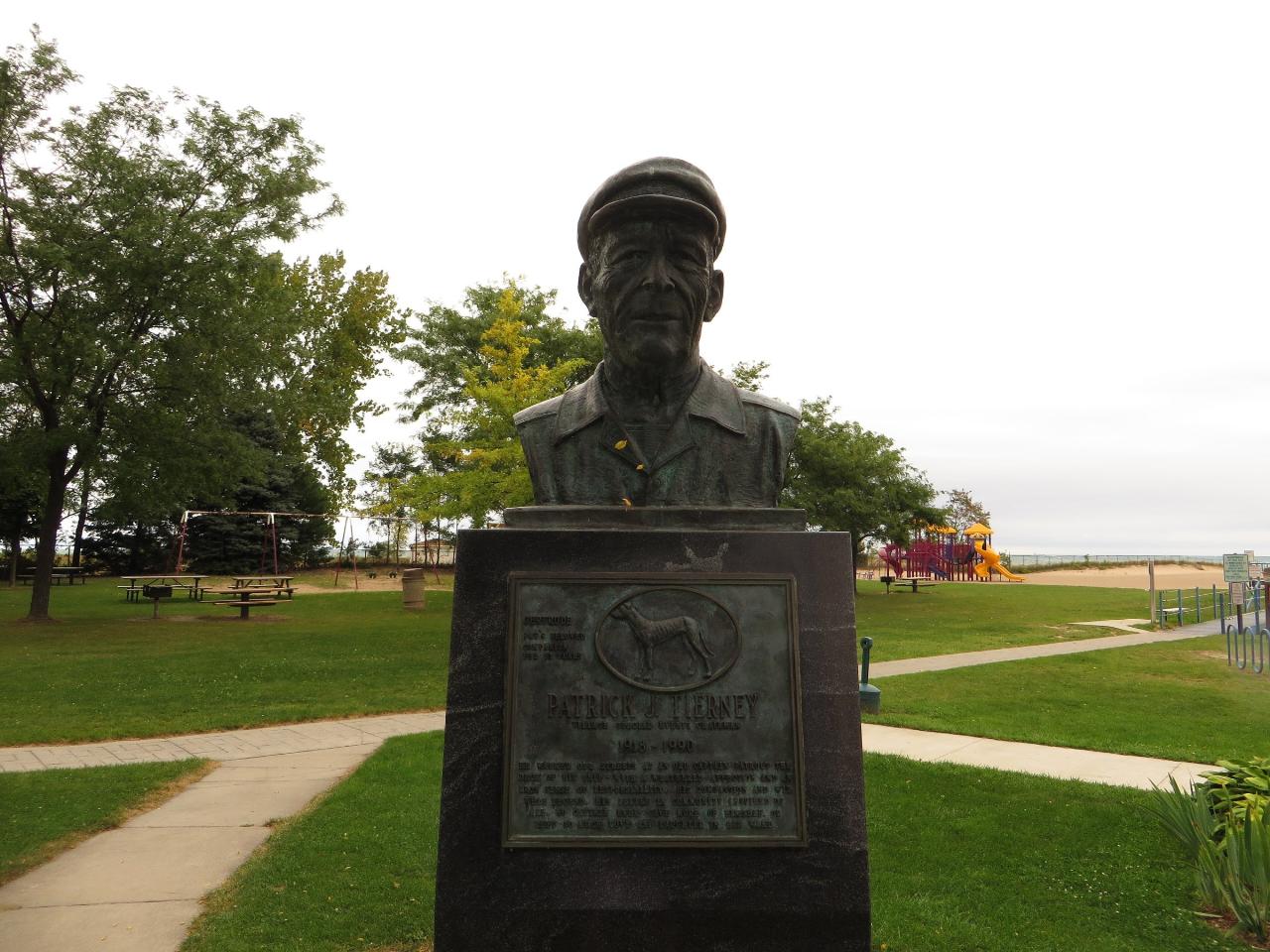
 The Patrick Tierney memorial in the park, with the playground, the sand and Lake Huron behind it courtesy of Ken Lund from Reno, Nevada, USA↗ (CC BY-SA 2.0↗)
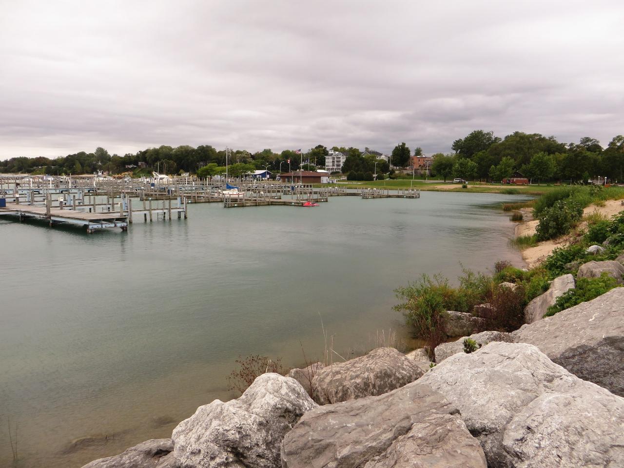
 Looking across the harbor basin toward the park lawn and the sand beach on the right courtesy of Ken Lund from Reno, Nevada, USA↗ (CC BY-SA 2.0↗)
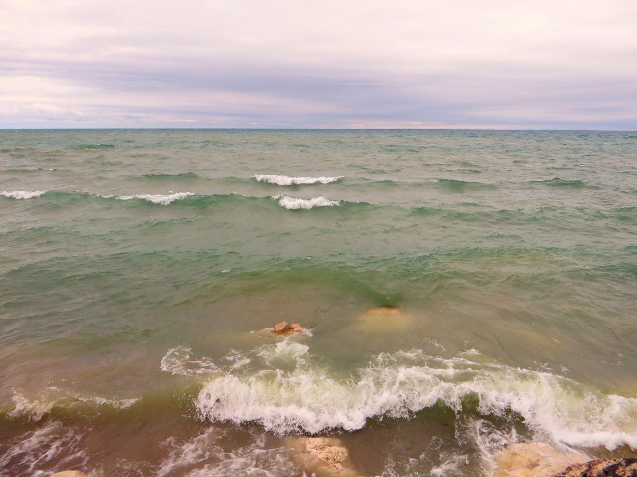
 Lake Huron surf breaking over the shallow rocks along the shore courtesy of Ken Lund from Reno, Nevada, USA↗ (CC BY-SA 2.0↗)
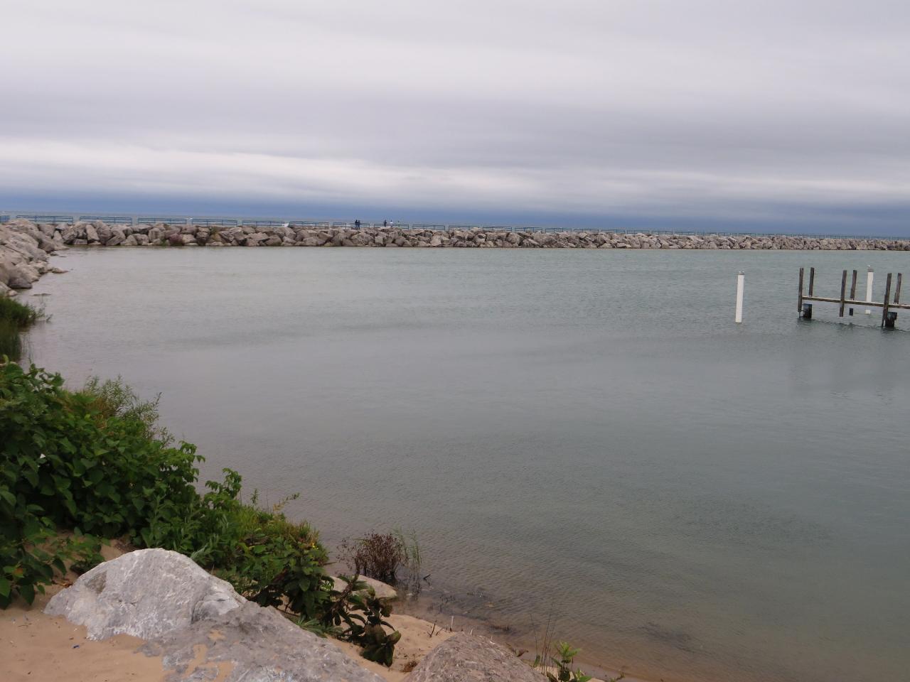
 Sheltered water inside the breakwall, with people walking out along the stone courtesy of Ken Lund from Reno, Nevada, USA↗ (CC BY-SA 2.0↗)
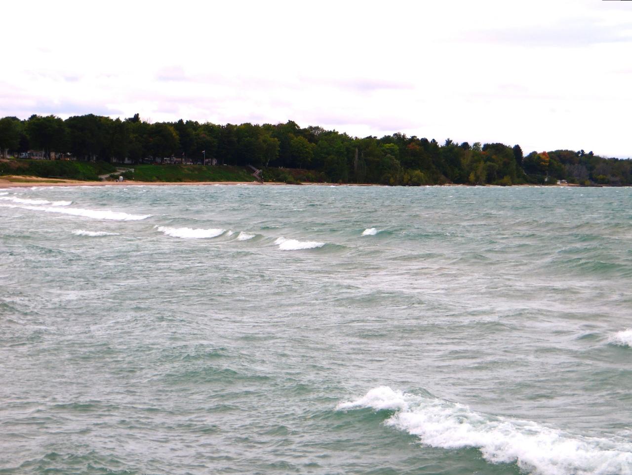
 The sand shoreline north of the harbor seen from the water, with the wooded bluff behind courtesy of Ken Lund from Reno, Nevada, USA↗ (CC BY-SA 2.0↗)
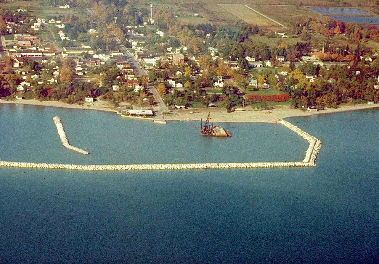
 Aerial view of the harbor, the breakwall and the shoreline at Lexington courtesy of U.S. Army Corps of Engineers, photographer not specified or unknown↗ (Public domain↗)
Other Swimming Holes and Kayaking Areas Nearby
Palmer Park
Saint Clair, Michigan
30.8 miles SSwim near Saint Clair, Michigan
Swim
Baypoint Beach
Rochester
47.2 miles SWUnguarded sand swimming beach on the west shore of Stony Creek Lake in Stony Creek Metropark, a quieter alternative to Eastwood Beach. Open May 1 to October 1, 8 a.m. to 8 p.m., with a $10 daily vehicle pass.
Canoe, Hike, Kayak, Swim