


LIttle Citico Horse Trails 2&3
Vonore, Tennessee
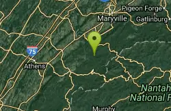
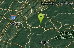
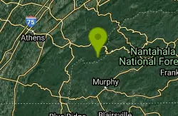
| Address: | ~Citico Rd, Vonore, TN 37885, USA |
| GPS: |
35°28'36.7"N 84°6'53.9"W Maps | Directions |
| State: | Tennessee |
| Trail Length: | 9.00 miles |
| Trail Type: | Loop |
| MTB Trail Type: | Singletrack |
Mountain Bike
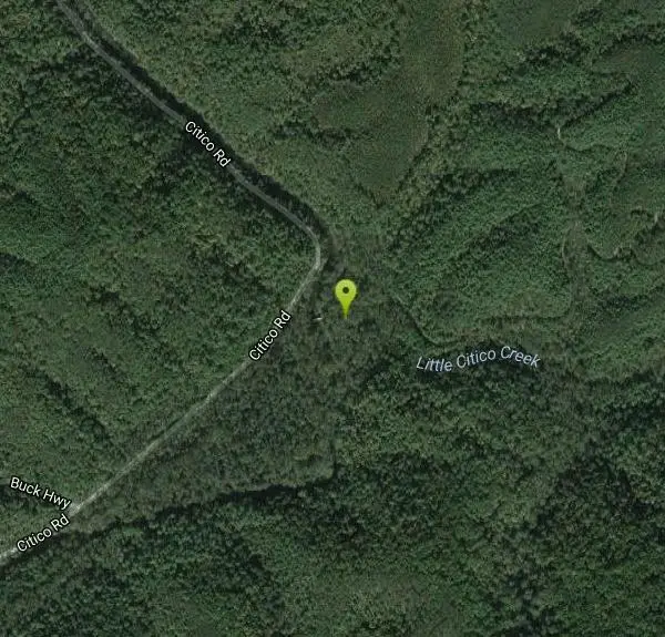
A caution: Do not ride this trail, expecially Trail #2 if there has been rain in the past week. It is a mess with the horses using this. But don't be put off by the fact that horses use this trail. Depending on when you ride you may not even see a horse. This trail combines parts of Little Citico Horse Trails 2 & 3 to form a loop. It's a combination of singletrack and double track. Starting at the trailhead #2 (single track) follows the Little Citico Creek. There are five creek crossings (shallow), numerous log hops, mud holes, rocks, etc. But overall pretty level and not too exciting. Once you get to the intersection of trails 2 & 3 turn right to begin trail #3 and cross the creek once more before making a very steep climb up Salt Spring Mountain. There's a nice lunch spot at the top (you're gonna need it). While not great views when the leaves are on the trees this is a great area for views in late autumn and winter. After the rest area you'll continue down the track which quickly gets pretty steep. While you can't go balls out (some wash out ditches and always some trees) you can get going pretty fast. At the bottom of the descent you come to the beginning of the double track. This is excellent double track as it is finely crushed stone and dirt. Most would call it a dirt road but it doesn't share the mudhole issue that most dirt roads in the east have. Some climbing still to do with a little downhill thrown in to give you a rest once in a while. Then you come to another intersection of doubletrack and you'll turn right and go around the gate. This is the beginning of a great downhill ride. In fact I was enjoying it so much that I blew past the turn to get back onto #3 proper and continued on down the double track which runs parallel to it so no true loss. I'll have to update this later when I go back. Eventually you'll come to the end of the road (literally) and the double track suddenly becomes single track again. More downhill fun. At the end of this run you'll come to another intersection. To the left is a short loop that is also #3 and to the right is back to the car. Take the right and deal with root alley. Some serious challenges through here as a lot of uphill root hopping checks your skills. BEWARE of one of the downhill ditches as it is a serious eject hazard: hard left turn at the bottom that has enough ditch dip to stop your tire dead cold. Continue on to the #2 trail intersection and turn left to get back to the trailhead. Courtesy of Singletracks.com
More Information
Never modify trail features. Ride trails when they're dry enough that you won't leave ruts. Speak up when you see others on the trail and always yield to hikers, horses, and others coming uphill. Always ride on the established trail.
Read More- Plan Ahead and Prepare
- Travel & camp on durable surfaces
- Dispose of waste properly
- Leave what you find
- Minimize campfire impacts
- Respect wildlife
- Be considerate of other visitors
Directions
From Vonore, Tennessee
- Head northeast on Depot St toward Church St (0.3 mi)
- Turn left onto US-411 N (0.2 mi)
- Turn right onto TN-360 S/Unicoi Turnpike (11.8 mi)
- Turn left onto TN-360 S (1.1 mi)
- Turn left onto Chestnut Valley Rd (1.6 mi)
- Turn left onto Buck Hwy (3.4 mi)
- Turn left onto Citico RdDestination will be on the right(0.3 mi)
Other Mountain Bike Trails Nearby
Citico Creek
Tellico Plains, Tennessee
5.2 miles SRoute Climbs High into the mountains then returns along Citico Creek.Indian Boundry trail circles the lake for beginners.
Mountain Bike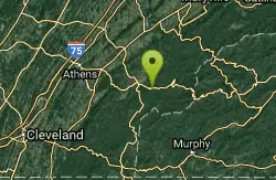
Indian Boundry
Tellico Plains, Tennessee
11.4 miles SWThis is the ideal beginner ride. It's all smooth, lightly graveled single track. Has bridges across streams and completely encircles the High Mountain lake. Views of the surrounding...
Mountain Bike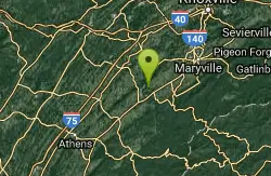
Wears Bend
Greenback, Tennessee
12.8 miles NWA number of interconnected, gently rolling dirt (red clay) roads that cross fields and woodlands. From the boat ramp area, a dirt road follows the gas pipeline for 2.1 miles to a...
Mountain Bike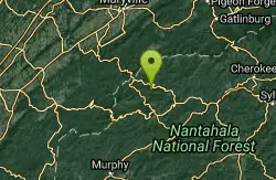
Turkey Chute
Robbinsville, North Carolina
16.2 miles EA fast, screaming downhill! This trail is used several times per year for downhill races, but is totally rideable on a regular mountain bike. Enjoy this sweet downhill!...
Mountain Bike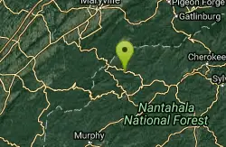
Fontana Village
Fontana Dam, North Carolina
16.6 miles EThere are a ton of trails in the village, each of them labeled and fairly well blazed. We rode Brooks Cove trail and it was a blast. To find the trail, take the road down toward the...
Mountain Bike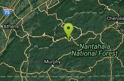
Santeetlah Lake Trail
Robbinsville, North Carolina
18.1 miles SEIt is old forest road, but is intermediate/difficult due to the variation of terrain. It needs to be ridden in to create a trail tread. Take the mountain bike. The mile markers on the...
Mountain Bike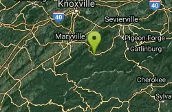
Cades Cove
Townsend, Tennessee
23.2 miles NETake some of the gravel roads on the right for adventures but turn around or you'll end up sssomewhere else besids the parking lot. If you wimp out take either of the two gravel roads...
Mountain Bike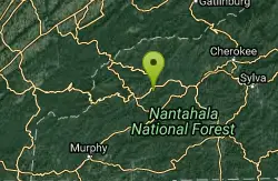
Stecoah Gap
Robbinsville, North Carolina
23.8 miles EThis is a great trail to ride after a long day at Tsali, or even a great trail for a quick ride after work. The elevation starts at 3165 ft and gradually winds up the mountain to...
Mountain Bike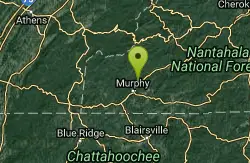
Grape Smuggler
Murphy, North Carolina
24.4 miles SThis trail system is being actively developed and the inner loop is open for business. Without a doubt the best designed trail system we have near town. Full of fun flow, this trail...
Mountain Bike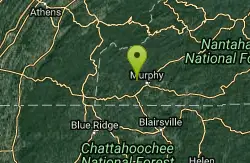
Hanging Dog
Murphy, North Carolina
26.2 miles SPicture groomed singletrack meandering through established forest and surrounded by water. Now picture what it would look like if the forestry service allowed logging companies to drive...
Mountain Bike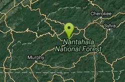
Winding Stairs
Topton, North Carolina
28.5 miles SEStart the trail by riding back down Wayah Rd. towards the power station. Turn right into the rafting put-in and find the bridge across the river (a cement bridge with steel framing)....
Mountain Bike
Tsali Mouse Branch Loop
Almond, North Carolina
30.2 miles EFrom the main parking area, Mouse starts with doubletrack. Head out the main road and continue in a clockwise direction. Many riders consider Mouse the most technical of the Tsali trails, but...
Mountain Bike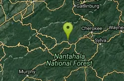
Tsali Recreation Area
Almond, North Carolina
30.2 miles ETsali features four singletrack loops that hug the banks of Fontana Lake. The trails are super fast and flowy singletrack with mostly moderate climbs and amazing scenery.Daily usage...
Mountain Bike
Tsali Thompson Loop
Almond, North Carolina
30.2 miles EThompson Loop, like Mouse Branch Loop, is more technical than the Right and Left loops at Tsali. Thompson has a lot of tight twisting singletrack and like all the trails at Tsali is...
Mountain Bike
Tsali Right Loop
Almond, North Carolina
30.4 miles EThe Right Loop is by far my favorite Tsali trail. Start at the trailhed parking lot and follow the signs for the LEFT LOOP (that's right). After about 0.3 miles, turn right onto the...
Mountain Bike
IC King Park
Knoxville, Tennessee
30.4 miles NThe single-track trail leaves the northern end of the parking area between the railroad track and cove. The trails roll and weave through hardwoods, cedars, and pines. The southern...
Mountain Bike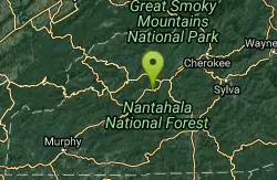
Flint Ridge
Bryson City, North Carolina
31.0 miles EThe first mile or so of this trail is a series of nine switchbacks that take you up a pretty steep face of the ridge. The top of the ridge has some great views of the Nantahala river...
Mountain Bike
Anderson School/Helix
Knoxville, Tennessee
34.1 miles NEHeading down Lost Chromosome (part of the Urban wilderness S Loop) you get to signs for Chain Ring. L.C. continues down hill to the Fork of the river area. Chain ring is the perimeter...
Mountain Bike
Lost Chromosome
Knoxville, Tennessee
34.3 miles NELost Chromosome is the S leg of the South Loop, and the entry to Helix area, at about the half way point. Starting from school it's an easy trail, well marked, and finishes with a few...
Mountain Bike
William Hastie Natural Area
Knoxville, Tennessee
34.4 miles NEThe William Hastie Natural Area is a small park featuring a little bit of everything. The Sink Hole trail offers some more "techy" stuff with bridges, rocks, and mud. The View Park...
Mountain BikeNearby Campsites
Davis Branch
Tellico Plains, Tennessee
13.7 miles SDavis Branch is a beautiful campground located in Tennesse by the beautiful Tellico River. Here you can camp, hike, and explore the river. The campground has six different campsites all offering...
Camp, Hike, Swim
Cades Cove Campground
Townsend, Tennessee
20.9 miles NEOver 2 million visitors annually come to enjoy the scenic beauty of Cades Cove and its many historic structures. Popular activities here include hiking, biking, touring the 11-mile Cades Cove loop...
Camp
Mt. LeConte Lodge
Sylva, North Carolina
48.5 miles EHigh atop Mt. LeConte in the Great Smoky Mountains National Park, LeConte Lodge® is the highest guest lodge in the eastern United States. It is situated on an open glade just below the summit of...
Camp, Hike, Horseback, Rock Climb


