


Loleta
Sigel, Pennsylvania
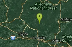
| GPS: |
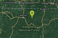
41°24'5.4"N 79°4'51.2"W Maps | Directions |
| State: | Pennsylvania |
Swim

- Plan Ahead and Prepare
- Travel & camp on durable surfaces
- Dispose of waste properly
- Leave what you find
- Minimize campfire impacts
- Respect wildlife
- Be considerate of other visitors
Directions
From Sigel, Pennsylvania
- Head east on PA-949 N toward PA-36 N (7.6 mi)
- Turn left onto Bridge Rd (410 ft)
- Turn left onto River Rd (0.3 mi)
- Turn right onto Gregg Hill RdMay be closed at certain times or days(2.4 mi)
- Turn left onto Loleta Rd (1.6 mi)
- Turn right at Millstone RdDestination will be on the left(0.2 mi)
to add photos & videos and suggest edits
Edit Review
Delete Review

Other Swimming Holes Nearby
Add Location
Cook Forest State Park
Cooksburg, Pennsylvania
7.7 miles SWSwim near Cooksburg, Pennsylvania
Swim
Kellettville
Tionesta, Pennsylvania
13.4 miles NWAn attractive, isolated National Forest campground along Tionesta Creek — the water is shallow and best for water play and tubing, with possibly a deeper swimming spot just north of the bridge.
Swim
Tionesta
Tionesta, Pennsylvania
19.9 miles WSwim near Tionesta, Pennsylvania
Swim
Elijah Rock
Bradford, Pennsylvania
29.6 miles NSwim near Bradford, Pennsylvania
Swim
Parker Dam State Park
Penfield
32.9 miles SEA 20 acre CCC built lake in the Clearfield County woods with a real sand beach, five feet deep at the buoy line, open late May to mid September and free to use. No lifeguards, boat rentals next door, and the 1985 tornado scar a short walk away.
Camp, Canoe, Hike, Kayak, Mountain Bike, Swim


