


Parker Dam State Park
Penfield
Camp, Canoe, Hike, Kayak, Mountain Bike, and Swim
Parker Lake is a 20 acre impoundment of Laurel Run sitting in the middle of 968 acre Parker Dam State Park, deep in the northern Clearfield County woods. The swimming area is a built sand beach on the lake's west shore, backed by mown lawn, picnic tables and a stand of pines. Everything about it is small and family scale. The bottom shelves out gradually and the water reaches a maximum depth of five feet at the buoy line, so there is no diving and no deep end to speak of.
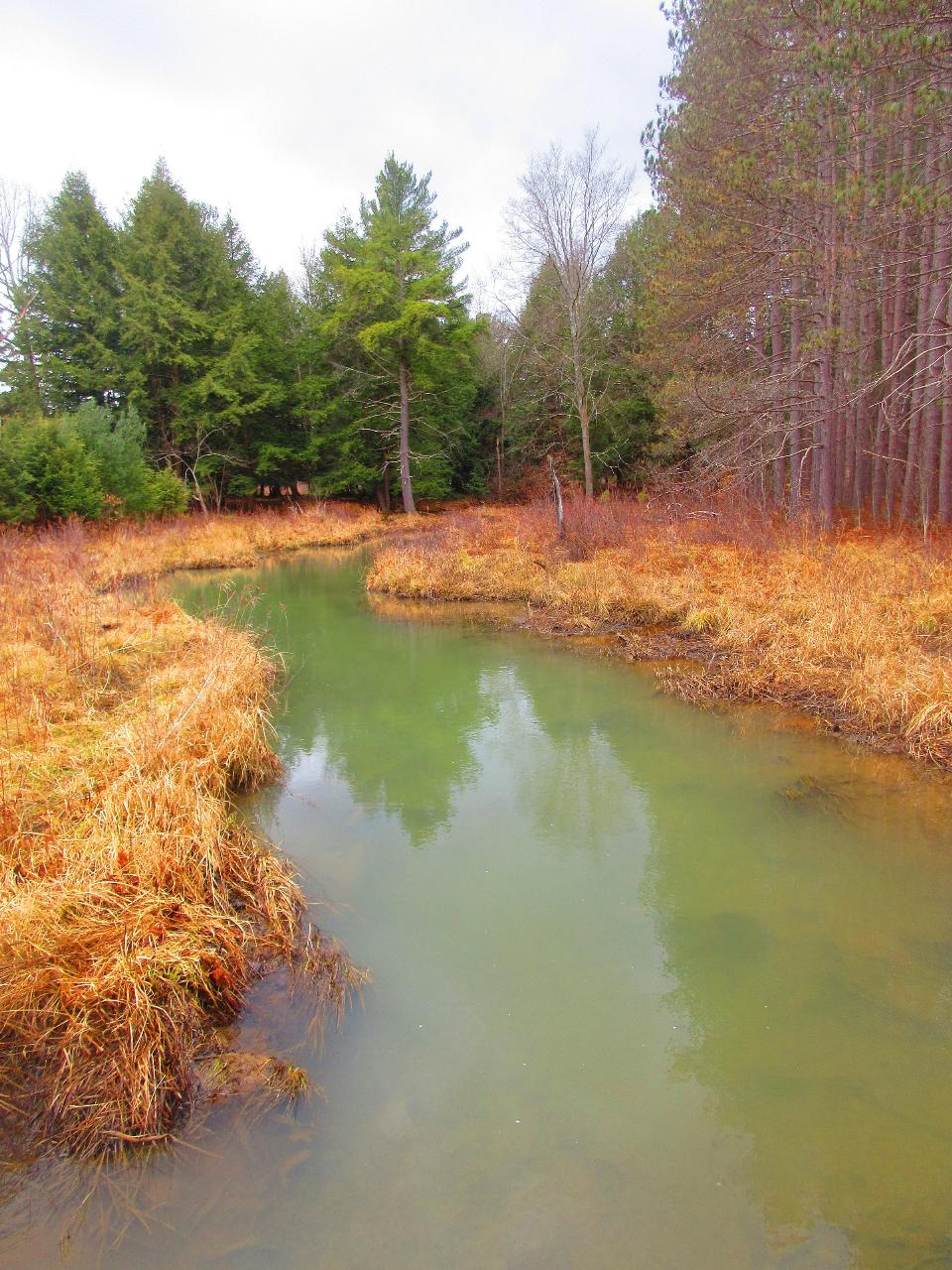
The water runs cool and tea tinted. Laurel Run and Mud Run both drain hemlock and red pine forest before they reach the lake, and the tannins they carry give it a dark amber cast even when the water is clean. Late July and August are the warmest you will get. Early June can still feel sharp up here on the Allegheny Plateau.
The beach is open late May through mid September, 8 A.M. to sunset. There are no lifeguards. Pennsylvania posts its park beaches as swim at your own risk, and Parker Dam is no exception, so the five foot buoy line and the posted rules are the whole safety system. Smoking is banned on the sand and in the swimming area. A food and refreshment concession and a camp store run daily from Memorial Day to Labor Day, weather permitting, and seasonal boat rentals operate about noon to 6 P.M.: kayaks, canoes, rowboats, pedal boats and paddleboards. Only electric motors are allowed on the lake, at no wake speed, which keeps the swimming end of it quiet.
Admission is free. Pennsylvania charges no entrance or day use fee at any of its 124 state parks, so the beach costs nothing and you pay only for camping, cabins and rentals. The park itself is open every day, sunrise to sunset, with day use areas closing at dusk.
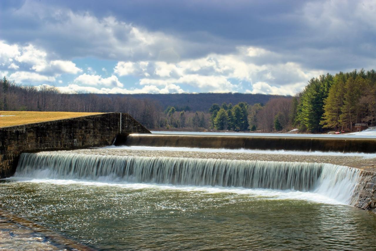
The Civilian Conservation Corps built this place. Camp S-73-PA went in at the corner of Tyler and Mud Run roads in 1933, and the crews laid up the present dam in native sandstone on the site of William Parker's old splash dam, a relic of the log drive era. The park was designated a recreational reserve in 1936. The Lou and Helen Adams CCC Museum, housed in the original CCC built park office near the breast of the dam, opens Saturday and Sunday afternoons through the summer.
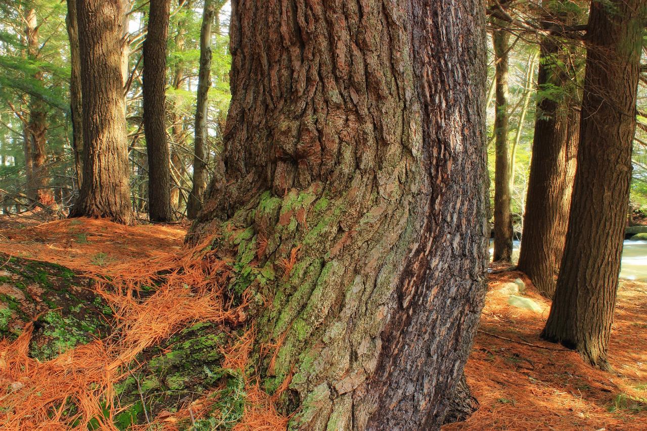
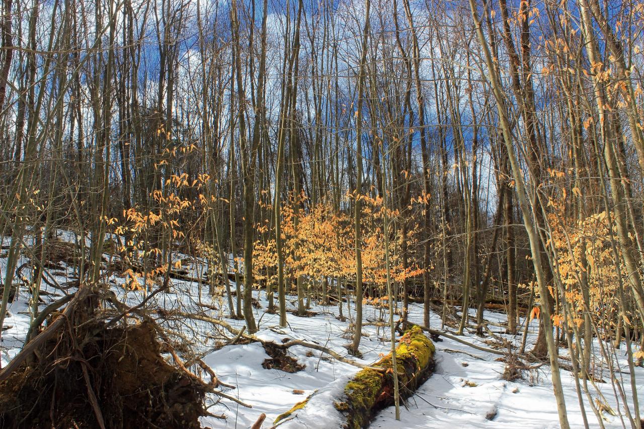
On May 31, 1985, an F4 tornado tore straight through and flattened much of the old forest. The 1.2 mile Trail of New Giants walks the regrowth, and the 1.6 mile Laurel Run Trail passes both giant surviving white pines and the blowdown scar. Beaver Dam Trail crosses the Mud Run wetland on a boardwalk. The 73 mile Quehanna Trail into Moshannon State Forest and the Quehanna Wild Area starts at a trailhead just south of the lake. Timber rattlesnakes live in this country, so watch your footing on rocky ground once you leave the beach.
More Information
Never modify trail features. Ride trails when they're dry enough that you won't leave ruts. Speak up when you see others on the trail and always yield to hikers, horses, and others coming uphill. Always ride on the established trail.
Read MoreBe courteous, informed, and prepared. Read trailhead guidelines, stay on the trail, and don't feed the wildlife.
Read More
- Plan Ahead and Prepare
- Travel & camp on durable surfaces
- Dispose of waste properly
- Leave what you find
- Minimize campfire impacts
- Respect wildlife
- Be considerate of other visitors
Directions
From Penfield
- Head west on NY-441 W/
Penfield Rd toward Five Mile Line Rd Continue to follow NY-441 W(2.6 mi) - Slight right to merge onto I-490 W (1.3 mi)
- Take exit 21 to merge onto I-590 S (4.7 mi)
- Take the exit onto I-390 S toward I-90/
Corning (32.1 mi) - Take exit 7 for NY-408 toward NY-63/
Mt Morris/ Letchworth Pk (0.3 mi) - Turn left onto NY-408 S (1.9 mi)
- Turn left onto Main St (262 ft)
- Turn right onto NY-408 S/
Chapel St Continue to follow NY-408 S(7.6 mi) - Turn right onto Short Tract Rd (5.2 mi)
- Turn right onto NY-436 W (0.3 mi)
- Turn left onto Short Tract Rd (3.8 mi)
- Continue onto Co Rd 15 (15.1 mi)
- Turn right onto Co Rd 16 (2.0 mi)
- Turn left onto NY-19 S (2.7 mi)
- Turn right to merge onto I-86 W (36.6 mi)
- Take exit 23 for US-219 S toward Limestone/
Bradford PA (0.2 mi) - Turn left onto US-219 S/
US-219 BUS Continue to follow US-219 SEntering Pennsylvania(39.5 mi) - Turn left to stay on US-219 S (2.4 mi)
- Turn right onto Long Level Rd/
Sr4003 Continue to follow Long Level Rd(4.5 mi) - Turn left onto PA-948 S/
Montmorenci Rd (5.4 mi) - Turn left onto W Main St (1.0 mi)
- Continue onto US-219 S/
Boot Jack Rd Continue to follow US-219 S(11.2 mi) - Turn left onto PA-153 S (11.2 mi)
- Turn left onto Mud Run RdDestination will be on the right(2.5 mi)
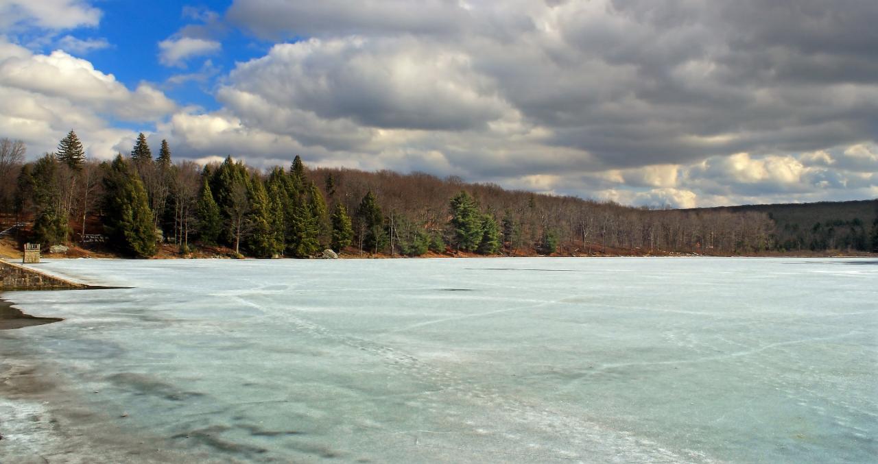
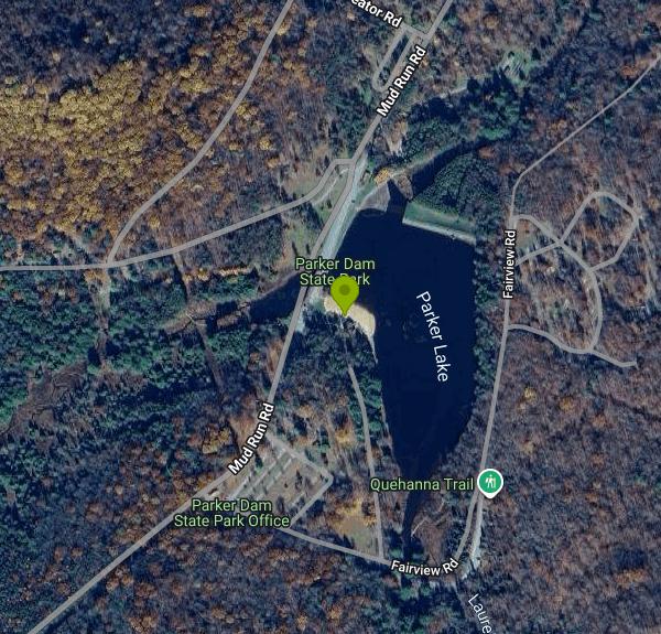 Parker Lake in late summer, with the stone dam breast at left and the forested far shore mirrored in courtesy of Clint↗ (CC BY-SA 2.0↗)
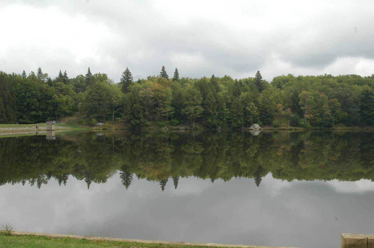
 Parker Lake frozen over in March. The 20 acre lake draws ice fishing and skating once the beach seas courtesy of Nicholas A. Tonelli from Northeast Pennsylvania, USA↗ (CC BY 2.0↗)
 Water pouring over the native sandstone dam the Civilian Conservation Corps built in the 1930s on th courtesy of Nicholas A. Tonelli↗ (CC BY 2.0↗)
 The tannin stained channel of Mud Run seen from the Beaver Dam Trail boardwalk, with red pines crowd courtesy of VitaleBaby↗ (Public domain↗)
 A giant old growth white pine against a backdrop of hemlocks along Laurel Run, the stream that feeds courtesy of Nicholas A. Tonelli from Northeast Pennsylvania, USA↗ (CC BY 2.0↗)
 Young beech and mixed hardwoods on the Trail of New Giants, regrowth in the swath the May 1985 torna courtesy of Nicholas A. Tonelli from Northeast Pennsylvania, USA↗ (CC BY 2.0↗)
Other Mountain Bike Trails, Swimming Holes, Hiking Trails, Canoeing Areas, and Kayaking Areas Nearby
Loleta
Sigel, Pennsylvania
32.8 miles NWSwim near Sigel, Pennsylvania
Swim
Cook Forest State Park
Cooksburg, Pennsylvania
36.5 miles WSwim near Cooksburg, Pennsylvania
Swim
Hammersley Hole
Renovo, Pennsylvania
39.7 miles NEA serious 12-mile round-trip hike in Pennsylvania backcountry to a small cascade and a deep mid-summer swimming hole in the remote Hammersley Fork creek.
Swim
Kellettville
Tionesta, Pennsylvania
45.5 miles NWAn attractive, isolated National Forest campground along Tionesta Creek — the water is shallow and best for water play and tubing, with possibly a deeper swimming spot just north of the bridge.
Swim
Ole Bull State Park
Cross Fork, Pennsylvania
47.4 miles NESwim near Cross Fork, Pennsylvania
Swim
Elijah Rock
Bradford, Pennsylvania
48.4 miles NWSwim near Bradford, Pennsylvania
Swim


