


May Queen Campground
Leadville
Camp, Canoe, Hike, Kayak, and Swim
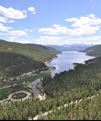
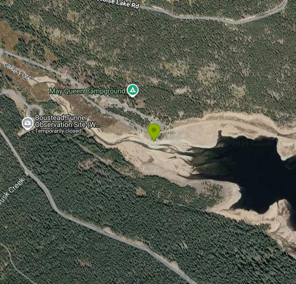
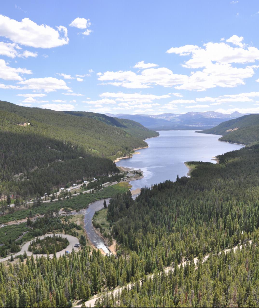
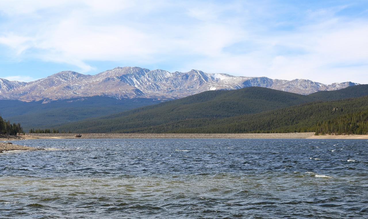
May Queen Campground is a 27-site Forest Service campground at the far western end of Turquoise Lake, about 9 miles west of Leadville in the San Isabel National Forest (Leadville Ranger District). Turquoise Lake is a Bureau of Reclamation reservoir of roughly 1,780 acres, part of the Fryingpan-Arkansas Project, and the Forest Service runs its recreation sites. Right beside the campground is Butcher Boy Picnic Area, a day-use site whose shoreline is the practical place for a day visitor to get into the water at this end of the lake. The setting is lodgepole pine forest at about 9,900 feet, with the Holy Cross and Mount Massive wilderness areas rising behind it.
From Leadville, follow the signs to Turquoise Lake Recreation Area and stay on the paved lake road to the west end. Use the May Queen entrance and bear right for Butcher Boy Picnic Area, which has its own parking lot a short walk above the shore. Campers park at their sites; each campsite includes two vehicles. Recreation.gov lists swimming among the activities here and notes easy shoreline access for canoes and other hand-carried boats. Trailered boats have to use Matchless Boat Ramp on the east side of the lake.
There is no designated or roped swim beach. Reclamation's facility table for Turquoise Lake lists zero swimming beaches, and there are no lifeguards anywhere on the lake. At this end the lake is fed by Lake Fork and by the Charles H. Boustead Tunnel, a 5.5-mile bore that brings Western Slope water under the Continental Divide and empties it into the reservoir right next to the campground. Expect a gravel and sand shore, a gradual entry, and water that stays very cold all summer because it is high-elevation snowmelt. Stay well away from the tunnel outlet and the creek channel, where the inflow moves fast. Because this is an irrigation and municipal supply reservoir, the level drops through late summer and fall, and the waterline at the west end can pull far back from the picnic area.
Butcher Boy Picnic Area charges a day-use fee of $11 per vehicle per day, paid at a fee tube, and is open for day use only from 6 a.m. to 10 p.m. Camping at May Queen costs $29 per site per night with two vehicles included (the Forest Service lists a third vehicle at $11 per night; Recreation.gov lists $12). The campground runs from late May to late September depending on weather, and the lake facilities close for winter. Recreation.gov warns that drinking water will not be available at the campground in 2027, so bring your own.
The 2026 Willow Fire burned southwest of the lake and closed part of the south-shore road (County Road 4) for a time, so check Forest Service alerts or call the Leadville Ranger District at 719-486-0749 before you go. Afternoon thunderstorms are common at this elevation, so get off the water when they build.
The 6.4-mile Turquoise Lake Trail follows the shoreline from May Queen to Sugar Loaf Dam, and the Timberline Lake trailhead, about half a mile up the road, leads 2 miles into the Holy Cross Wilderness and connects to the Colorado Trail. Fishing is popular for lake trout and stocked rainbow, brown, cutthroat and brook trout, with a Colorado fishing license required.
More Information
Know Before You Go - Visit Leadville Twin Lakes
The Willow Fire is currently active in Lake County, and conditions across the Leadville and Twin Lakes area are changing frequently. If you have plans to be in the area, […]
https://www.leadvilletwinlakes.com/know-before-you-go/May Queen, Pike and San Isabel National Forests & Cimarron and Comanche National Grasslands - Recrea
Explore May Queen in Pike and San Isabel National Forests & Cimarron and Comanche National Grasslands, Colorado with Recreation.gov. May Queen Campground is located at the far western end of Turquoise Lake in a shaded lodgepole pine forest. Conveniently perched near the Charles Boustead Memor
https://www.recreation.gov/camping/campgrounds/232385Pike-San Isabel National Forests & Cimarron and Comanche National Grasslands | Butcher Boy Picnic Ar
This picnic/day use area is located at the far western end of Turquoise Lake, adjacent to May Queen Campground. Amenities include picnic tables, fire rings with grates and a restroom. You can also access the Turquoise Lake Nature Trail from this site to enjoy a leisurely walk along the northern shoreline.
https://www.fs.usda.gov/r02/psicc/recreation/butcher-boy-picnic-areaPike-San Isabel National Forests & Cimarron and Comanche National Grasslands | Leadville Ranger Dist
The Leadville Ranger District is home to the Sawatch Range, the highest mountain range in Colorado. These rugged, glaciated mountains form the crest of the Continental Divide. Mount Elbert, at 14,443 feet, is Colorado's highest peak and one of 10 "fourteeners" located on the district.Leadville was once a booming mining town during the Colorado gold rush and competed with Denver to be the capitol city of Colorado. At 10,152 feet, it is the highest incorporated city in the United States. Leadville is a rustic mountain town rich in mining history and unsurpassed natural beauty.Large, developed campgrounds and picnic areas at Turquoise Lake Recreation Area and Twin Lakes Recreation Area provide abundant recreation opportunities. Fishing, boating and hiking are popular summertime activities. Because of the district's high altitude, late spring snows occasionally delay the opening of some facilities.At 12,095 feet, Independence Pass is one of the highest paved mountain passes in the United States. Here, the Top of the Rockies National Scenic and Historic Byway crosses the Continental Divide, offering motorists breathtaking views of the Rockies and a close look at its rugged alpine tundra habitat. The Arkansas River also begins its long journey to the Gulf of Mexico here. There are many opportunities to drive on four-wheel drive roads on the Leadville Ranger District, but OHVs must be registered.
https://www.fs.usda.gov/r02/psicc/recreation/leadville-ranger-districtPike-San Isabel National Forests & Cimarron and Comanche National Grasslands | May Queen Campground
May Queen Campground has 27 sites and is located at the far western end of Turquoise Lake in a shaded lodgepole pine forest at an elevation of 9,900 feet. It is near the Charles Boustead Memorial Tunnel and adjacent to a day use/picnic area, which offers easy angler access to the lake. You can also access the Turquoise Lake Nature Trail for a leisurely walk around the lake.Firewood can be purchased at the campground. Facilities include picnic tables, fire rings and vault toilets. Accessible sites are located along the southern end of the campground loop. Usage is moderate during weekdays but heavy on weekends.Dates are weather dependent. All services may not be available early or late in the season.
https://www.fs.usda.gov/r02/psicc/recreation/may-queen-campgroundPike-San Isabel National Forests & Cimarron and Comanche National Grasslands | Turquoise Lake Recrea
Sitting deep in the forest west of Leadville, Colorado, Turquoise Lake takes its name from the turquoise mines that produced the semiprecious stone in Leadville's not-too-distant past. A spot prized for its fishing, camping and hiking, Turquoise Lake provides some of the most beautiful views on the Leadville Ranger District. The east end of the lake hosts the majority of campgrounds, while the west end of the lake hosts the popular May Queen Campground near the Timberline Lake trailhead, which accesses the Holy Cross Wilderness. To the southwest of the lake rises the Mount Massive Wilderness, along with such beautiful hikes as Native Lake and Windsor Lake. Snow in these areas can stay well into midsummer and possibly longer.Turquoise Lake is heavily visited, especially during the summer months. Reservations for the campgrounds on Turquoise Lake that take reservations are often filled early, especially for holiday weekends. Camping is only allowed in developed campgrounds in the Turquoise Lake Area. There is no dispersed camping available.The standard limit of fish allowed from Turquoise Lake is four fish total, including two lake trout within the four fish limit with no size restrictions. Turquoise Lake is stocked with rainbow, brown, cutthroat and brook trout. Turquoise Lake is rated as fair to good fishing.
https://www.fs.usda.gov/r02/psicc/recreation/turquoise-lake-recreation-areaTurquoise Lake
Bureau of Reclamation - Managing water and power in the West
https://www.usbr.gov/gp/recreation/turqrec.htmlTurquoise Lake | Recreation.gov
Reserve camping, permits & activities at Turquoise Lake. Book official reservations on Recreation.gov.
https://www.recreation.gov/gateways/92Be courteous, informed, and prepared. Read trailhead guidelines, stay on the trail, and don't feed the wildlife.
Read More
- Plan Ahead and Prepare
- Travel & camp on durable surfaces
- Dispose of waste properly
- Leave what you find
- Minimize campfire impacts
- Respect wildlife
- Be considerate of other visitors
Directions
From Leadville
- Head north on Harrison Ave toward E 6th St (0.2 mi)
- Turn right onto E 9th St (0.1 mi)
- Turn left after Subway (on the left) (1.0 mi)
- Turn left onto US-24 W (1.7 mi)
- Turn left onto Co Rd 99 (1.6 mi)
- Turn right onto County Rd 9 (0.5 mi)
- Turn right onto Turquoise Lake Rd (7.5 mi)
- Turn left (0.7 mi)
Other Swimming Holes, Hiking Trails, Canoeing Areas, and Kayaking Areas Nearby

Devils Punchbowl
Aspen, Colorado
18.4 miles SWA very cold, very deep bowl near Aspen with plenty of high-jumping opportunities — approach with caution, especially in spring when currents can be dangerous; suits probably optional.
Swim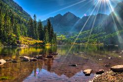
Maroon Bells
Aspen, Colorado
30.0 miles SWMaroon Lake mirrors two dramatic fourteeners in one of the most photographed scenes in Colorado — take the summer shuttle, then hike, fish, or loop the scenic 3-mile trail.
Backpack, Camp, Hike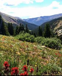
Herman Gulch
Silver Plume, Colorado
42.5 miles NEA dog-friendly 6-mile roundtrip off I-70 that follows a river through spectacular wildflowers in early July and ends at a small alpine lake with mountain views the entire way.
Backpack, Hike
Hubbards Cave
Glenwood Springs, Colorado
46.6 miles NWA 9-mile ATV and hiker trail to Hubbard Cave — a 3,000-foot passage with cave coral, gypsum flowers, selenite needles, and unusual botryoid formations near Glenwood Springs.
Cave, HikeNearby Campsites

Fulford Cave
Basalt, Colorado
19.2 miles NWA large sandstone cave near Meeker carved by an underground river, with a lake several hundred meters inside and caverns only reachable by underwater diving — free to explore.
Camp, Cave
Maroon Bells
Aspen, Colorado
30.0 miles SWMaroon Lake mirrors two dramatic fourteeners in one of the most photographed scenes in Colorado — take the summer shuttle, then hike, fish, or loop the scenic 3-mile trail.
Backpack, Camp, Hike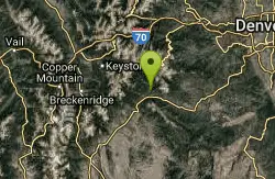
Guniella Pass Camping - No Fees
Grant, Colorado
41.9 miles EA 17-site campground split into two loops in a spruce forest west of Denver, with 10 RV-friendly sites, tent pads, fire grates, picnic tables, restrooms, and water — no fees.
Camp, Mountain Bike


