


Herman Gulch
Silver Plume, Colorado
| Address: | Herman Gulch, Herman Gulch Trail, Dillon, CO 80435, USA |
| GPS: |
39°42'9.0"N 105°51'15.4"W Maps | Directions |
| State: | Colorado |
| Trail Length: | 6.30 miles |
| Trail Type: | Out & Back |
| Hike Difficulty: | Intermediate |
| Elevation Gain: | 1755 feet |
Restrooms Lakes Streams Trails Rocks Wildflowers Pet Friendly Skateboarding Bicycles Fishing Picnic Tables Rivers Waterfalls Glaciers Ponds Paintball Permitted Motorized Use National Park State Park
Backpack and Hike
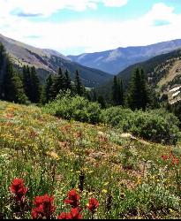
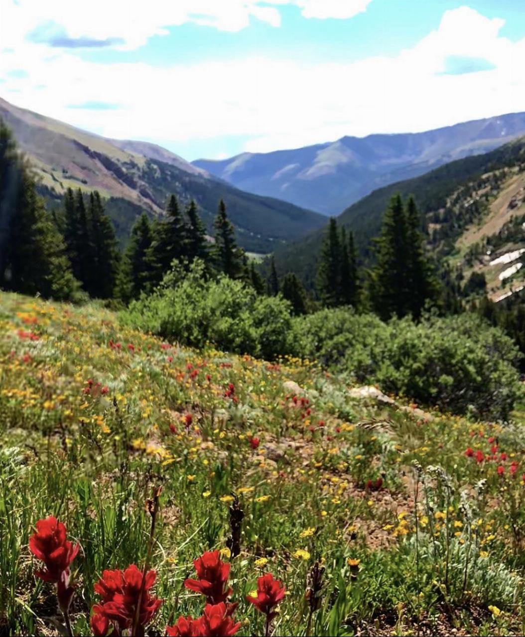
Herman Gulch is one of the most popular alpine day hikes within easy reach of Denver, a stunning climb to a high mountain lake in the Colorado Front Range near Silver Plume, roughly an hour west of the city right off Interstate 70. It's beloved for good reason: summer wildflower meadows, a rushing creek, and a payoff of a beautiful alpine lake set beneath the towering peaks of the Continental Divide, all packed into a manageable day hike.
The route runs about 6.3 miles out and back to Herman Lake and is rated challenging, taking most hikers close to four hours. The opening stretch is notably steep, but it eases as the trail levels into scenic meadows and climbs alongside Herman Creek, with snow-capped mountains flanking the valley the whole way. Near the top, a series of cairns leads across the alpine tundra to Herman Lake itself, with dramatic Pettingell Peak rising directly above the water.
Timing is everything for the wildflowers. July and August bring vibrant displays across the meadows, and those weeks are the trail's showpiece season, though they're also its busiest. The practical hiking window runs roughly June through October, with snow lingering high into early summer and returning early in fall.
This is genuine high-country hiking that tops out in exposed alpine terrain, so afternoon thunderstorms are a real hazard in summer, meaning an early start to be off the high ground by early afternoon is important, and the thin air at elevation makes the climb harder than the mileage suggests for anyone not acclimated.
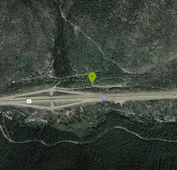
Access is unusually easy for such a scenic hike: take exit 218 off I-70, turn right at the stop sign, turn right again, and follow the frontage road east to the parking area. That convenience, combined with the wildflowers and the alpine lake, is exactly why the trail is so popular, so the lot fills early on summer weekends. Between the meadows, the creek, the Continental Divide backdrop and Herman Lake at its foot, this is one of the best value alpine hikes on the Front Range.
More Information
Herman Gulch to Herman Lake Hike - Day Hikes Near Denver
Herman Gulch is one of the best summer wildflower hikes near Denver. Just one hour from Denver, the Herman Gulch Trail is a 2.5 mile (one-way), out-and-back adventure into the Colorado front range. It's also a challenging winter snowshoe and is often used for cross-country skiing.
https://dayhikesneardenver.com/herman-gulch-to-herman-lake-hike/Home | Arapaho and Roosevelt National Forests & Pawnee National Grassland | Forest Service
The Arapaho and Roosevelt National Forests and Pawnee National Grassland are located in north central Colorado and encompass 1.5 million acres across five districts.
https://www.fs.usda.gov/arpBe courteous, informed, and prepared. Read trailhead guidelines, stay on the trail, and don't feed the wildlife.
Read More
- Plan Ahead and Prepare
- Travel & camp on durable surfaces
- Dispose of waste properly
- Leave what you find
- Minimize campfire impacts
- Respect wildlife
- Be considerate of other visitors
Directions
From Silver Plume, Colorado
- Head south on Tregay St toward Cherokee St (161 ft)
- Turn right onto Cherokee St (171 ft)
- Turn left onto Woodward St (197 ft)
- Turn right onto Water St (427 ft)
- Turn left to merge onto I-70 W (7.0 mi)
- Take exit 218 (0.2 mi)
- Turn right toward Watrous Way (66 ft)
- Turn right onto Watrous Way (0.1 mi)
Parking right at trail head. Fills quickly. People park along the exit of the highway. If you choose to do this- please be careful.
Other Hiking Trails and Backpacking Trails Nearby
Saint Mary's Glacier
Idaho Springs, Colorado
14.4 miles NEA semi-permanent snowfield in Arapaho National Forest, just 2.5 miles from James Peak — a unique alpine destination in the Colorado Rockies.
Hike
Braille Trail / Beaver Brook Trail
Golden, Colorado
28.7 miles EA flexible trail system close to Denver's front range, offering loops from easy to very difficult ranging from 4 to 20+ miles along Beaver Brook and the Chavez trail.
Hike 0.1-0.9 mi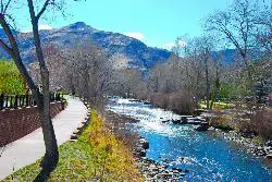
Clear Creek Whitewater Park
Golden, Colorado
33.6 miles EA quarter-mile whitewater stretch in Golden with six drop structures and seven city blocks of clear-water action — beginner training facilities and national competition events.
Canoe, Hike, Kayak, Mountain Bike, Swim, Whitewater
Mallory Cave
Boulder, Colorado
35.3 miles NEA hike from the NCAR parking lot to the Mesa Trail and a final 100-foot rock climb into a cave — skip if there's ice or snow on the approach, and follow the signs carefully.
Cave, HikeNearby Campsites
Guniella Pass Camping - No Fees
Grant, Colorado
17.0 miles SEA 17-site campground split into two loops in a spruce forest west of Denver, with 10 RV-friendly sites, tent pads, fire grates, picnic tables, restrooms, and water — no fees.
Camp, Mountain Bike
Fulford Cave
Basalt, Colorado
45.3 miles WA large sandstone cave near Meeker carved by an underground river, with a lake several hundred meters inside and caverns only reachable by underwater diving — free to explore.
Camp, Cave


