


Ocqueoc Falls
Millersburg, Michigan

| GPS: |
45°23'45.6"N 84°3'27.9"W Maps | Directions |
| State: | Michigan |
Swim

- Plan Ahead and Prepare
- Travel & camp on durable surfaces
- Dispose of waste properly
- Leave what you find
- Minimize campfire impacts
- Respect wildlife
- Be considerate of other visitors
Directions
From Millersburg, Michigan
- Head east on Luce St toward Main St (213 ft)
- Turn left onto Main St (0.5 mi)
- Continue onto Millersburg Rd (1.2 mi)
- Turn right onto M-68 E (2.7 mi)
- Turn left onto Ocqueoc Falls HwyDestination will be on the right(0.5 mi)

Other Swimming Holes Nearby

DeVoe Beach
Indian River
27.4 miles WA free Tuscarora Township beach on a shallow, sandy cove of Burt Lake beside the Indian River mouth, a short walk from downtown Indian River, with a pavilion, restrooms and the Veterans Pier.
Canoe, Kayak, Swim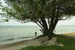
Starlite Beach
Alpena
38.4 miles SECity of Alpena park with a free sandy Lake Huron swim beach on Thunder Bay, plus playgrounds, a seasonal splash park, restrooms and free parking along State Avenue (US 23).
Swim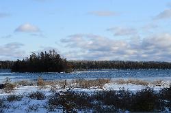
Big Shoal Beach
Drummond Island
43.5 miles NEDrummond Township's free day-use beach on Big Shoal Bay, a sheltered Lake Huron cove on the southeast end of Drummond Island, with a sandy bottom, long shallow wading and a kayak route to a 1920 shipwreck.
Canoe, Hike, Kayak, Swim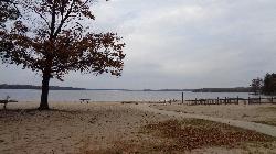
Otsego Lake State Park
Gaylord
44.6 miles SWA Michigan DNR state park beach on the southeast shore of Otsego Lake south of Gaylord, with a buoyed sandy swim area. A Recreation Passport is required for vehicle entry.
Camp, Canoe, Kayak, Swim


