


Opeongo Lake
Sproule Township, Ontario
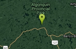
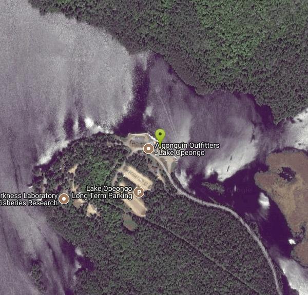
| GPS: |
45°38'8.2"N 78°21'35.5"W Maps | Directions |
| State: | Ontario |
Canoe
Opeongo Lake is a lake in the Ottawa River drainage basin in the geographic townships of Bower, Dickson, Preston and Sproule in the Unorganized South Part of Nipissing District in Northeastern Ontario, Canada. It is the largest lake in Algonquin Provincial Park and the source of the Opeongo River.
More Information
Atlas of Canada - Natural Resources Canada
A key source of geographic information for all Canadians.
https://natural-resources.canada.ca/maps-tools-publications/maps/atlas-canada
- Plan Ahead and Prepare
- Travel & camp on durable surfaces
- Dispose of waste properly
- Leave what you find
- Minimize campfire impacts
- Respect wildlife
- Be considerate of other visitors
Directions
From Sproule Township, Ontario
- Head south toward ON-60 E (1.7 km)
- Turn left at the 1st cross street onto ON-60 E (6.0 km)
- Turn left (5.9 km)
- Turn rightDestination will be on the left(19 m)
Located in the geographic townships of Bower, Dickson, Preston and Sproule in the Unorganized South Part of Nipissing District in Northeastern Ontario
Other Canoeing Areas Nearby
Nearby Campsites
Wright's Lake
Pembroke, Ontario
8.8 miles NA reservoir-fed Ontario lake roughly 81 km from Timmins with good fishing for anglers of all skill levels, surrounded by nearby rivers and creeks.
Camp, Swim 
Palmer Rapids
Palmer Rapids, Ontario
45.6 miles SELower Madawaska River serves up Class II/III pool-drop rapids with a beloved play spot at Hass Hole — perfect for beginner and intermediate paddlers in spring.
Camp, Canoe, Kayak


