


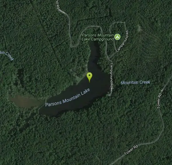
Parsons Mountain Recreation Area
Abbeville, South Carolina
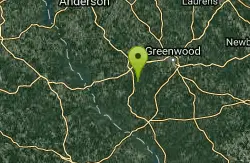
| GPS: |
34°5'50.3"N 82°21'23.0"W Maps | Directions |
| State: | South Carolina |
Swim

- Plan Ahead and Prepare
- Travel & camp on durable surfaces
- Dispose of waste properly
- Leave what you find
- Minimize campfire impacts
- Respect wildlife
- Be considerate of other visitors
Directions
From Abbeville, South Carolina
- Head southwest on Washington St toward S Main St (105 ft)
- Continue straight onto Trinity St (495 ft)
- Turn left onto Church St (226 ft)
- Turn right onto Vienna St (0.7 mi)
- Turn right onto SC-72 W/W Greenwood StContinue to follow SC-72 W(1.4 mi)
- Turn left onto SC-28 E (2.2 mi)
- Turn left onto Parsons Mountain Rd (1.5 mi)
- Turn right onto Campground Rd (1.2 mi)
to add photos & videos and suggest edits
Edit Review
Delete Review
Other Swimming Holes Nearby
Add Location

Lake Springs Recreation Area
Appling
31.0 miles SA Corps of Engineers day use area on the Georgia shore of J. Strom Thurmond Lake, with small swim beaches strung along a wooded peninsula twenty minutes from Augusta. Most of the park is closed for Hurricane Helene repairs, though the Deer Run beach and t
Canoe, Hike, Kayak, Swim
Elrod Ferry Recreation Area
Hartwell
33.7 miles NWCorps of Engineers day-use park on a wooded point of Hartwell Lake near Hartwell, Georgia, with three designated swim beaches, picnic shelters and a boat ramp. $7 per vehicle.
Swim
Watson Mill Bridge State Park
Comer, Georgia
41.5 miles WSwim near Comer, Georgia
Swim
Horseshoe Falls
Enoree, South Carolina
44.8 miles NESwim near Enoree, South Carolina
Swim


