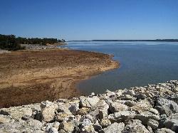
Persimmon Hill Recreation Area
Enid
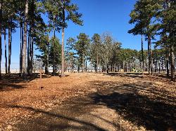
Camp, Hike, and Swim
Persimmon Hill Recreation Area is a U.S. Army Corps of Engineers park on the south shore of Enid Lake in Yalobusha County, Mississippi, run by the Corps' Vicksburg District from the Enid Lake field office. Enid Lake is a flood-control reservoir formed in 1952 by Enid Dam on the Yocona River, and Persimmon Hill sits at the south end of the dam, about a kilometer from the small community of Enid and roughly 9 km north of Oakland. The park combines a 72-site campground, a day use area with picnic shelters and playgrounds, two boat ramps, and one of the lake's designated swimming beaches.
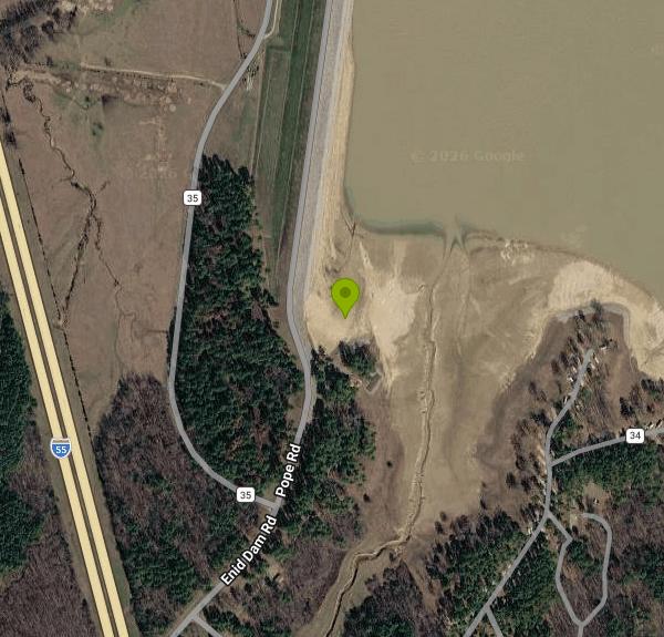
From Interstate 55, take exit 233 and follow County Road 36 south across the top of the dam, then turn onto County Road 34 and follow the signs about a mile into the park. The physical address the Corps lists is 316 County Road 34, Enid, MS 38927. The beach is in the day use area on the west side of the park, in the cove tucked against the south end of the dam embankment, with picnic shelters 583 and 584 (listed by Recreation.gov under the Beach loop) and parking just above the sand.
The swim area is a sand beach on a shallow flood-control reservoir, so expect warm, cloudy lake water in summer rather than clear water. Enid Lake's designated beaches are marked with a buoy line, set at roughly five feet of depth, and swimmers are required to stay inside it. White depth poles in the water show approximate depth in feet, and a rescue station with a reach pole and throw bag stands on the beach. The Corps does not list a lifeguard, so plan to watch your own group. Persimmon Hill has also had a life jacket loaner board at the beach.
The beach is not free. Recreation.gov lists the Persimmon Hill beach fee as $5.00 per vehicle per day, the same as the boat ramp fee, and you can pay at the area or buy a daily or annual Persimmon Hill Day Use Pass on Recreation.gov. Shelter reservations ($50 per day) and campsites do not include the beach fee. The beach area and shelters 583 and 584 are closed every year from October 1 to April 1, so swimming here is a spring and summer outing. Call the Enid Lake field office at 662-563-4571 to check status.
Two conditions can close the beach outside the normal season. Enid is a flood-control lake, and its level swings a lot: in low-water years the Corps has closed the Persimmon Hill beach while only one other Enid beach stayed open, and in winter the cove below the dam drains to bare lakebed. Storm damage has also closed the campground and beach area for long stretches, so call ahead before your first trip of the season.
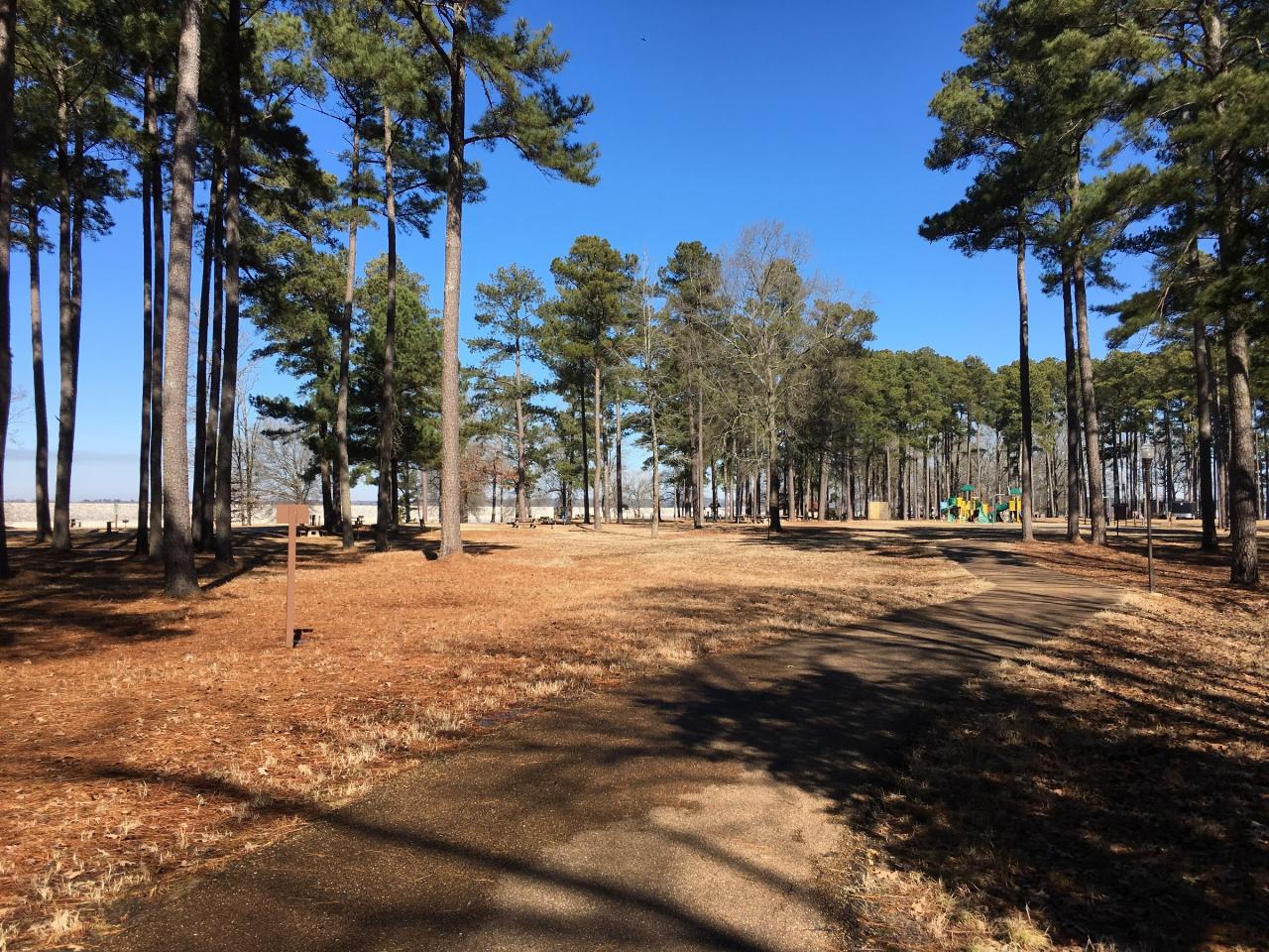
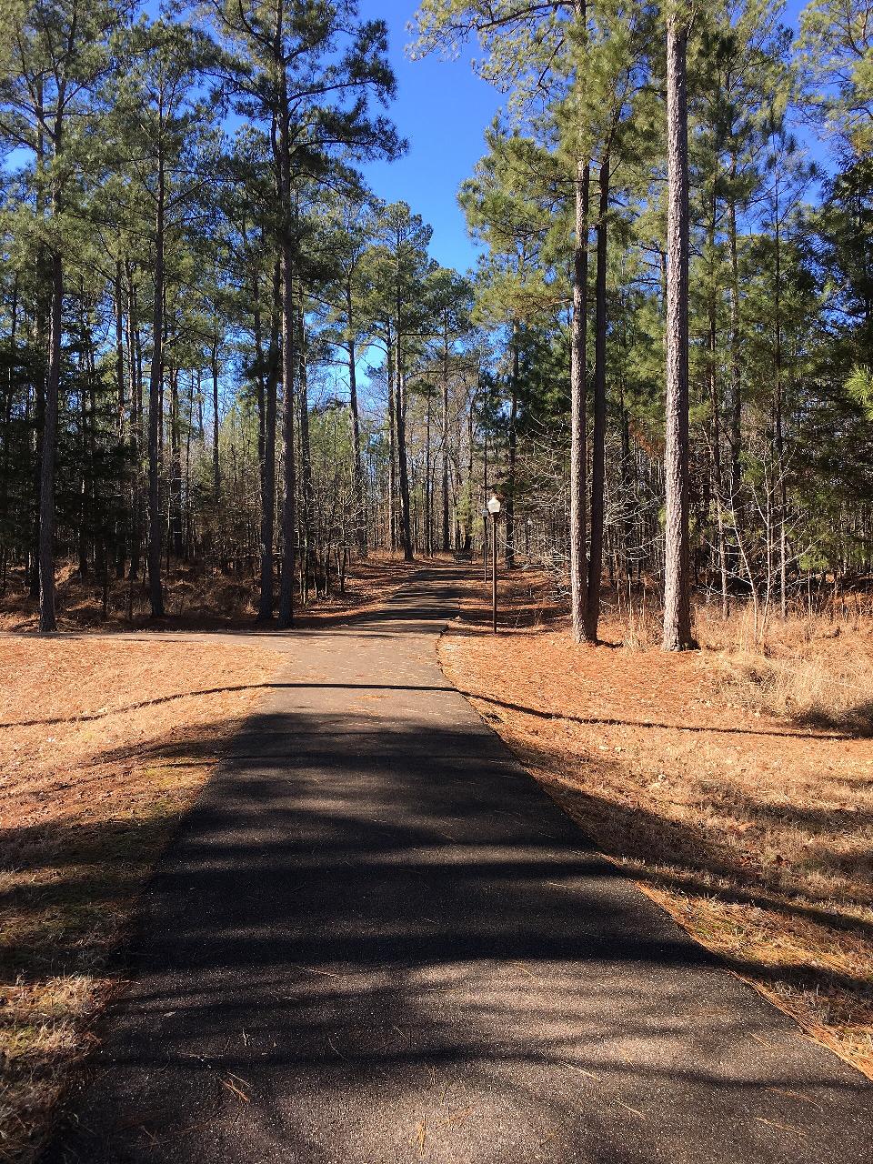
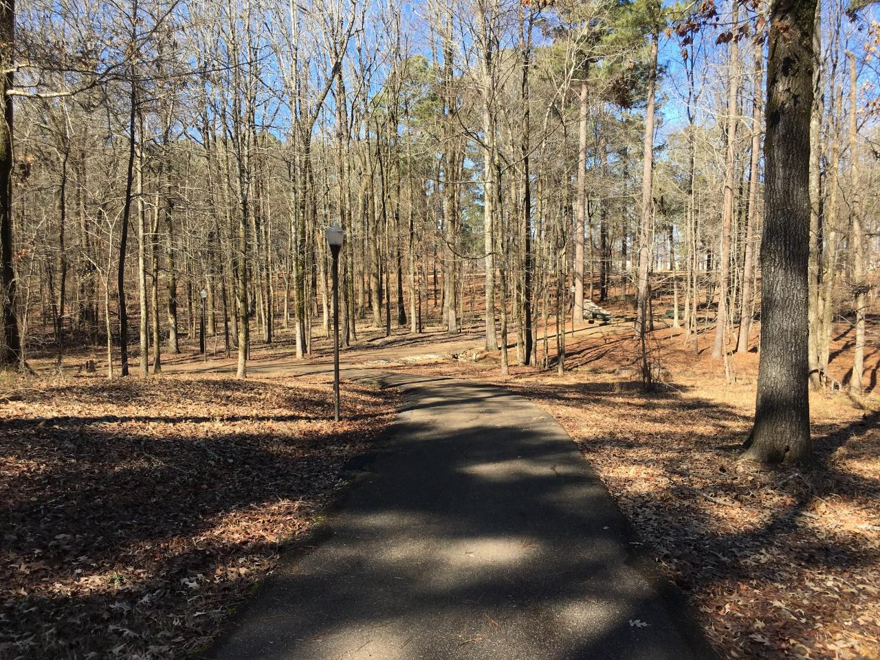
Beyond the beach, the park has a paved, lighted multi-purpose trail that loops through pine woods between the campground and the day use area, an amphitheater, playgrounds, grills and picnic tables, and two boat ramps on the main lake. The campground has full hookups and flush toilets. George P. Cossar State Park sits on the next peninsula to the east, and Enid Lake is known for crappie fishing (it holds the white crappie world record).
More Information
Enid beaches to open April 1 | The Panolian
Enid beaches to open April 1 Enid Lake maintains five designated swimming beaches, which are scheduled to open for use on April 1st. Visitors to these beaches are required to […]
https://panolian.com/2016/03/10/enid-beaches-to-open-april-1/Enid Lake - Camping, Permits | Mississippi | Recreation.gov
Reserve camping, permits & activities at Enid Lake, Mississippi. 16 campgrounds, 7 permits. Book official reservations on Recreation.gov.
https://www.recreation.gov/camping/gateways/150Enid Lake | The Panolian
Enid maintains 5 swim beaches By Enid Lake Park Rangers Enid Lake maintains five (5) designated swimming beaches which include: Hickory Ridge, Persimmon Hill, Plum Point, Chickasaw Hill, and Long […]
https://panolian.com/2011/04/22/enid-lake-24/Persimmon Hill Day Use Area, Enid Lake - Recreation.gov
Explore Persimmon Hill Day Use Area in Enid Lake, Mississippi with Recreation.gov. Persimmon Hill is a quiet, family-oriented campground and day uses area that sits along the banks of Enid Lake in the forests of northeast Mississippi. View a
https://www.recreation.gov/camping/campgrounds/10119471Persimmon Hill Day Use Pass Pass in Mississippi - Recreation.gov
Buy Persimmon Hill Day Use Pass Activity Pass in Enid Lake, Mississippi with Recreation.gov. Persimmon Hill is a campground and day use area that sits along the banks of Enid Lake in the forests of northeast Mississippi. This area has a popular campgrou
https://www.recreation.gov/activitypass/AP2870Persimmon Hill(Enid Lake), Enid Lake - Recreation.gov
Explore Persimmon Hill(Enid Lake) in Enid Lake, Mississippi with Recreation.gov. Persimmon Hill is a quiet, family-oriented campground that sits along the banks of Enid Lake in the forests of northeast Mississippi. View a virtual tour of
https://www.recreation.gov/camping/campgrounds/233634Be courteous, informed, and prepared. Read trailhead guidelines, stay on the trail, and don't feed the wildlife.
Read More
- Plan Ahead and Prepare
- Travel & camp on durable surfaces
- Dispose of waste properly
- Leave what you find
- Minimize campfire impacts
- Respect wildlife
- Be considerate of other visitors
Directions
From Enid
- Head south on S Grand Ave toward W Maine St (0.3 mi)
- Turn left onto US-412 E/
E Owen K Garriott Rd Continue to follow US-412 EToll road(114 mi) - Take the exit onto I-244 W/
OK-51 E/ US-64 E toward US-75 S/ Broken Arrow/ Okmulgee/ Okla City (0.8 mi) - Take exit 4B on the left for US-75 N/
US-64 E/ OK-51 E toward Broken Arrow (0.3 mi) - Continue onto OK-51 E/
US-64 E/ US-75 N (0.9 mi) - Keep right to continue on OK-51 E/
US-64 E, follow signs for Broken Arrow (7.8 mi) - Continue onto OK-51 E (6.9 mi)
- Continue onto OK-351Toll road(55.3 mi)
- Take exit 56B to merge onto I-40 E toward Ft. SmithEntering Arkansas(198 mi)
- Keep left to stay on I-40 E, follow signs for Memphis (1.6 mi)
- Keep right to stay on I-40 E (125 mi)
- Keep right to continue on I-55 S, follow signs for Memphis/
Jackson/ Ms Entering Tennessee(10.9 mi) - Take the exit to stay on I-55 S toward Jackson MissEntering Mississippi(64.6 mi)
- Take exit 233 toward Enid (0.2 mi)
- Turn left onto Co Rd 36/
Enid Dam Rd/ Pope Rd Continue to follow Co Rd 36(0.5 mi) - Slight left onto County Rd 36 (0.3 mi)
- Slight right onto Co Rd 36 (98 ft)
- Turn right onto Enid Dam Rd/
Pope Rd Destination will be on the left(1.5 mi)