


Port Crescent State Park
Port Austin
Camp, Canoe, Hike, Kayak, and Swim
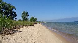
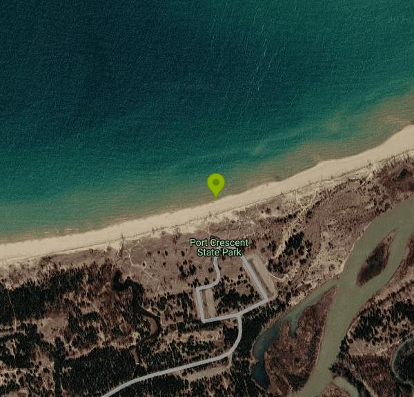
Port Crescent State Park is a Michigan Department of Natural Resources park on the Saginaw Bay side of Lake Huron, at the tip of the Thumb about five miles southwest of Port Austin in Hume Township, Huron County. It covers roughly three miles of sandy shoreline backed by low wooded dunes, and it takes its name from Port Crescent, a lumber town that once stood at the mouth of the Pinnebog River. This listing is for the beach in the park's day-use area, a public stretch of Lake Huron sand that the state samples for water quality every summer.
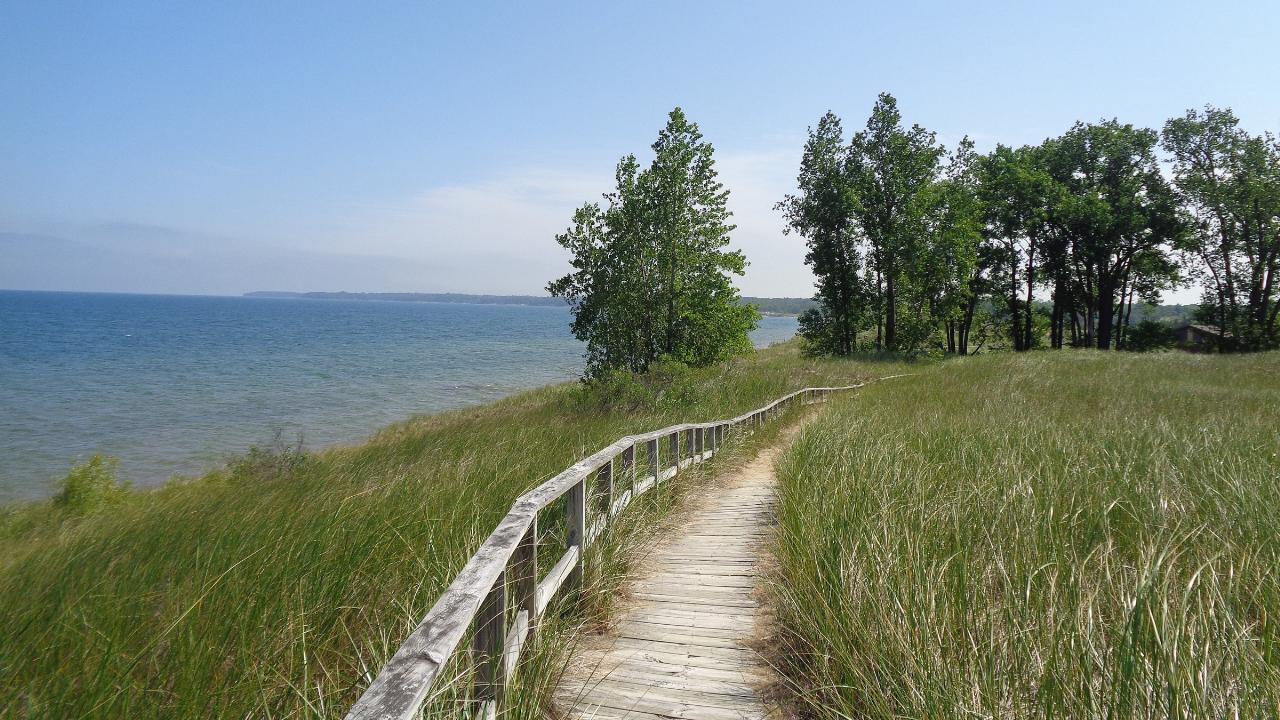
The park has two separate entrances off M-25 (Port Austin Road), about two miles apart. The day-use area is the western one, beside the Pinnebog River, and the modern campground is the eastern one, closer to Port Austin. Make sure you turn in at the right gate. The day-use side has several parking lots, a beach house with accessible restrooms, a first-come, first-served pavilion with picnic tables and charcoal grills, and a 900-foot boardwalk that runs along the top of the dunes with picnic decks looking out over the bay.
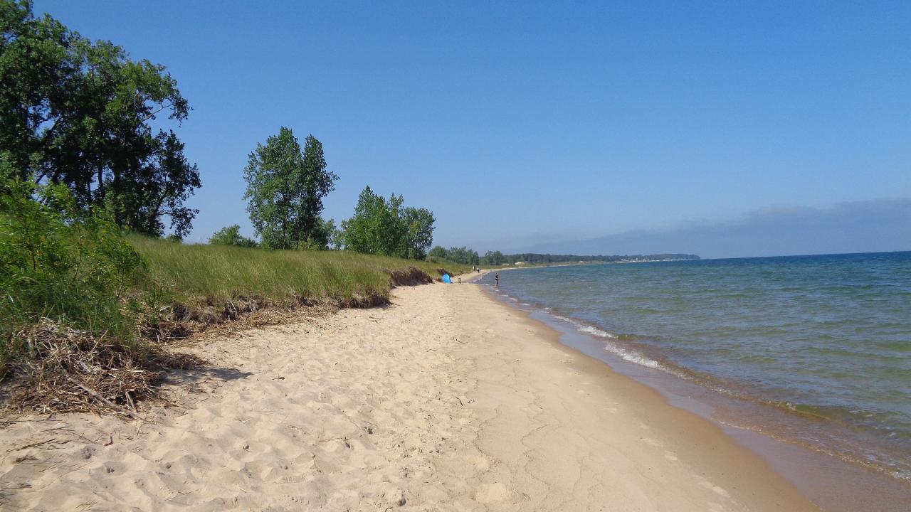
The beach is sand, the water is shallow close to shore away from the river, and Lake Huron runs cold early in the season. No lifeguards are listed for the park. The only buoyed swim area is at the campground beach two miles east, which is also the one stretch where pets are banned. Everywhere else along the shoreline, dogs are allowed on a leash no longer than 6 feet. The park lends out a beach wheelchair and track chairs at no cost. The day-use beach is sampled weekly for E. coli through the summer, and results go up on Michigan's BeachGuard system.
There is no separate beach fee, but every vehicle needs a Michigan Recreation Passport. For Michigan-registered vehicles it is $15 a year, bought with your license plate renewal (a two-year option is $29), and there is no daily option for Michigan plates. Vehicles from out of state pay $12 for a day pass or $42 for the year. Opening hours are not posted on the park page, so call the park at 989-738-8663 if you plan to arrive early or stay late.
The main hazard is the Pinnebog River mouth at the east end of the day-use beach. On June 21, 2025, a 35-year-old man drowned there after he and his girlfriend, wading in three to four feet of water, stepped into a drop-off. The Huron County sheriff said the river was pouring fast into the lake after heavy morning rain, and divers found him in about 10 feet of water. Swim well west of the river mouth, stay out of it entirely after rain, and stay off the water when onshore wind builds waves. Check Michigan.gov/DNRClosures before you go.
Beyond the beach, the park has about 5 miles of hiking trails that double as cross-country ski routes in winter, paddling on the Pinnebog River from a carry-in launch, fishing from an accessible deck on the river, and a 142-site modern campground with cabins, cottages and two geodesic domes. It is also a designated dark sky preserve, with a viewing platform near Parking Lot D. Port Austin, a few miles up the shore, has groceries, restaurants and a harbor.
More Information
Be courteous, informed, and prepared. Read trailhead guidelines, stay on the trail, and don't feed the wildlife.
Read More
- Plan Ahead and Prepare
- Travel & camp on durable surfaces
- Dispose of waste properly
- Leave what you find
- Minimize campfire impacts
- Respect wildlife
- Be considerate of other visitors
Directions
From Port Austin
- Head west on M-25 W/
Lake Huron Cir Tour/ W Spring St toward Line St Continue to follow M-25 W/(6.3 mi)Lake Huron Cir Tour - Turn right (0.7 mi)
- Turn right (0.2 mi)
 Sandy Lake Huron shoreline below the dunes at Port Crescent State Park. courtesy of Notorious4life (talk) (Uploads)↗ (CC0↗)
 The dune-top boardwalk above Saginaw Bay at Port Crescent State Park. courtesy of Notorious4life (talk) (Uploads)↗ (CC0↗)
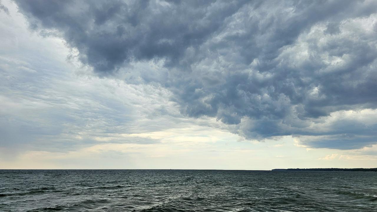
 Storm clouds and building waves on Lake Huron off the day-use beach. courtesy of Ken S Three↗ (CC BY-SA 4.0↗)
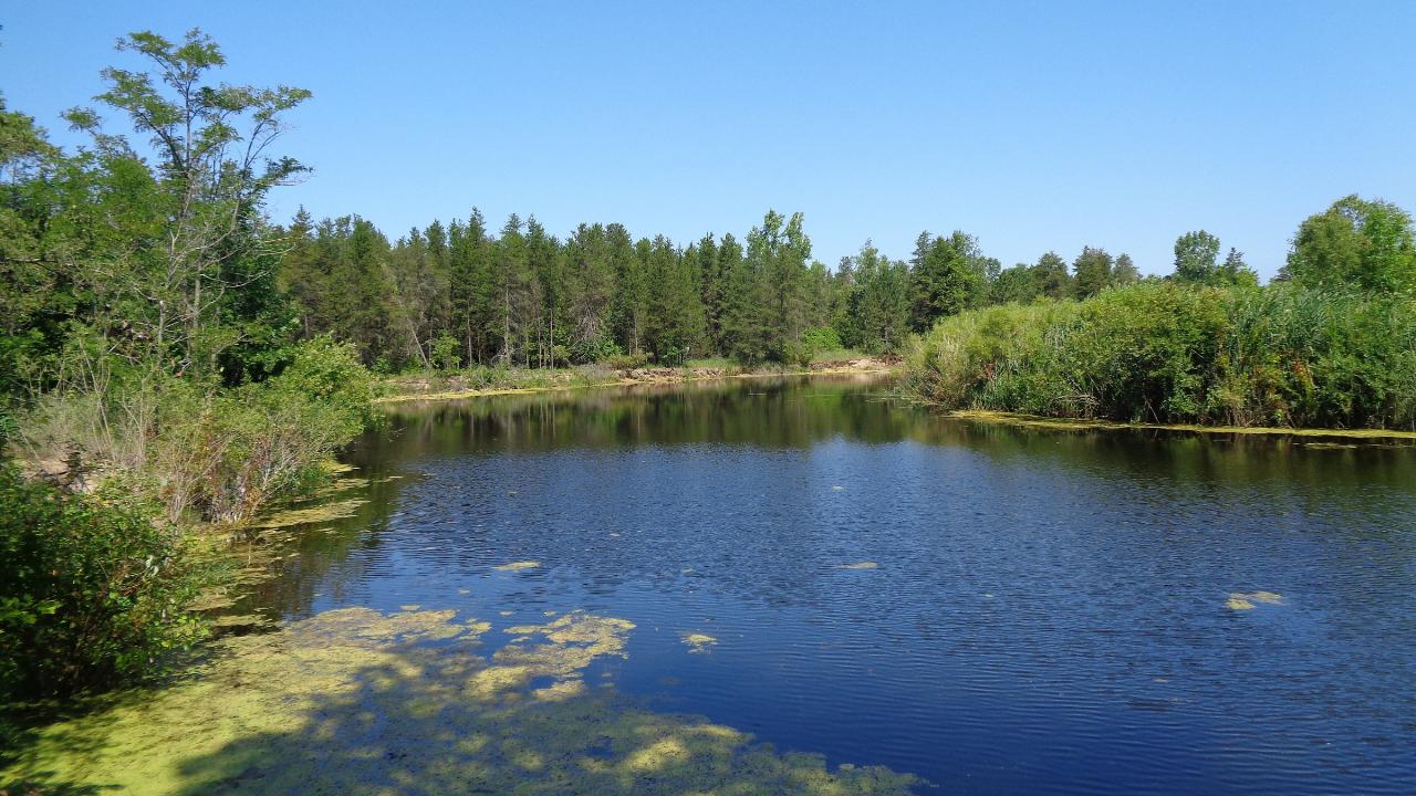
 The Pinnebog River, which winds through the park before reaching Lake Huron. courtesy of Notorious4life (talk) (Uploads)↗ (CC0↗)

Other Swimming Holes, Hiking Trails, Canoeing Areas, and Kayaking Areas Nearby
Nearby Campsites
Tawas Point State Park
East Tawas
25.5 miles NWBuoyed Lake Huron swim beach in the day-use area of Tawas Point State Park, near East Tawas. Michigan Recreation Passport required for vehicles; walk-ins and bikes enter free.
Camp, Hike, Kayak, Swim
Berwagana Campground
Vassar, Michigan
45.3 miles SWBer-wa-ga-na Campground is nestled on 67 acres of wooded outdoor adventure. Stay for the day, for the weekend, or the season. It's located on M-46 just 6 miles soutwest of Caro.
Camp


