Sacajawea Historical State Park
Pasco, Washington
| GPS: |
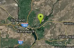
46°11'55.6"N 119°2'25.4"W Maps | Directions |
| State: | Washington |
Canoe, Hike, Kayak, and Swim
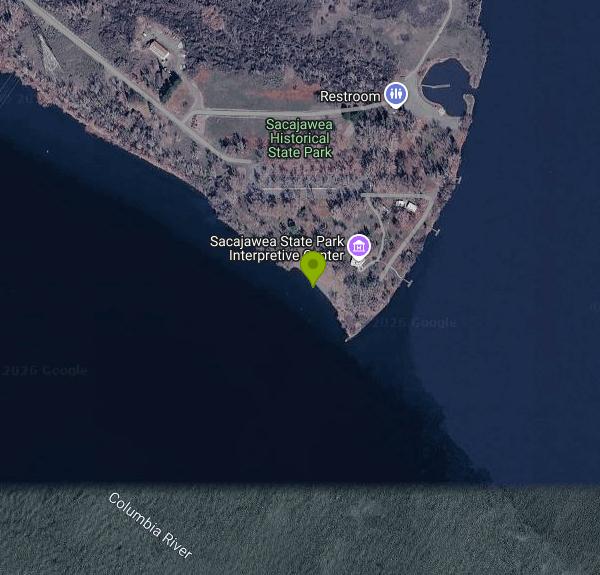
Sacajawea Historical State Park occupies 267 acres on the point of land where the Snake River runs into the Columbia, at the southeast edge of Pasco. The swim area is a sandy beach on the shallow, slower water inside the confluence, with a grass day use lawn, picnic shelters, restrooms and a boat launch nearby. Water here is dam controlled and slow moving, but it is still a big river; the current picks up noticeably as you move out toward the channel, and there are no lifeguards.
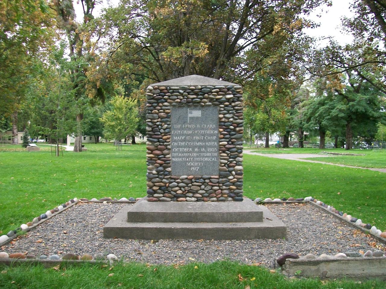
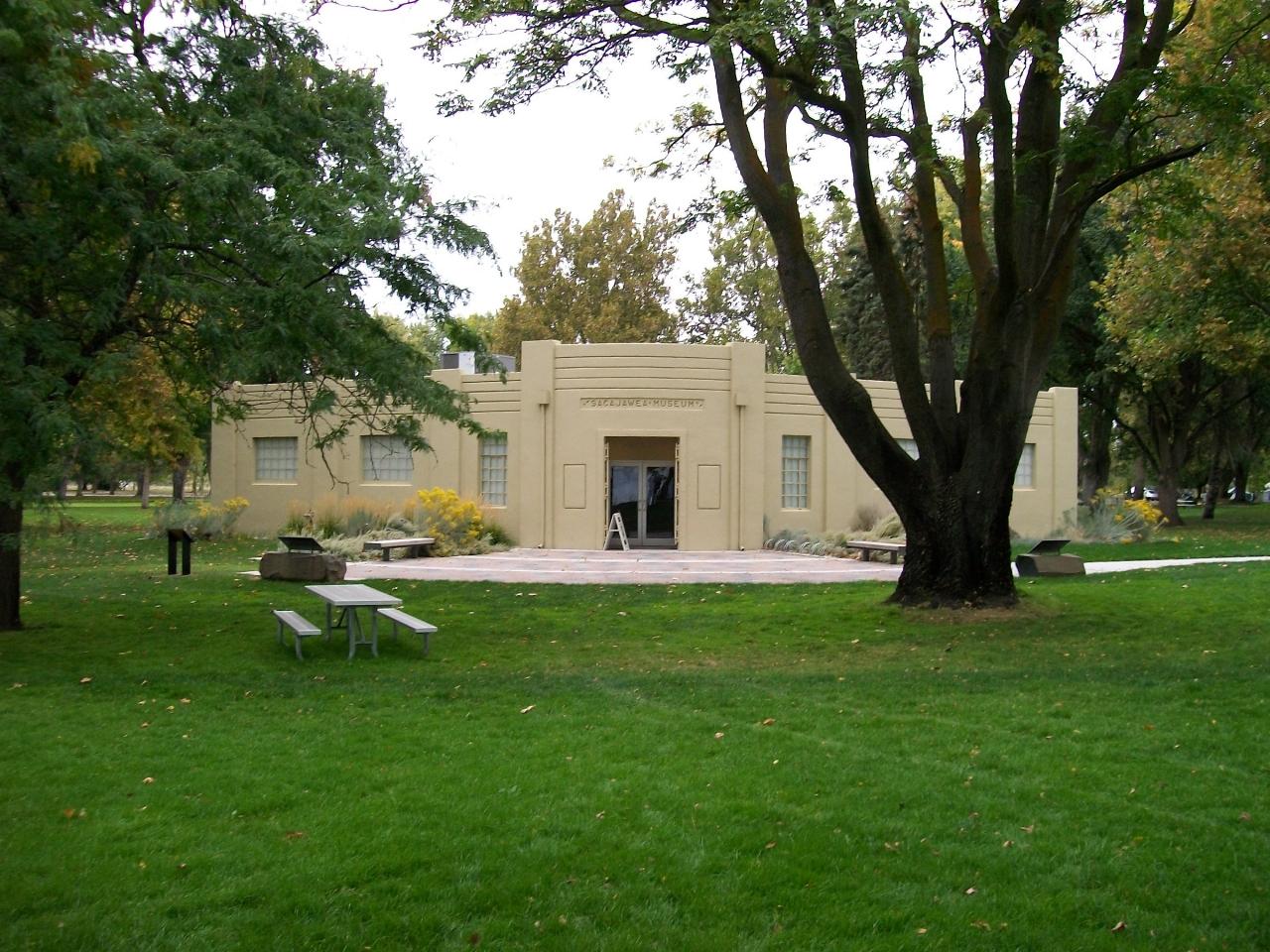
The Corps of Discovery camped at this spot on October 16, 1805, coming down the Snake, and stayed two nights before continuing down the Columbia. The park's interpretive center covers that expedition, the life of Sacagawea herself, and the Plateau tribes whose fishing and trading sites were here for thousands of years before it. The building includes artwork by Maya Lin as part of her Confluence Project installations along the river. It is open Wednesday through Sunday, 10:00 am to 5:00 pm in summer, and by appointment in winter.
The park is seasonal. It opens around April 1 and closes November 1 through March 31, with summer hours running 8:00 am to dusk. A Washington State Parks Discover Pass is required to park: $45 annual, $10 day use, plus $7 for a watercraft launch. There is one primitive campsite, first come first served, set aside for paddlers on the Northwest Discovery Water Trail, which follows the Snake and Columbia and makes this a natural stopover.
Wind is the local variable. The Columbia basin gets strong, predictable afternoon wind in summer, and it turns the open water choppy well before it feels windy on the lawn. Morning is calmer for swimming and paddling. The shallows warm up fast in the Tri-Cities heat, and July and August air temperatures regularly run above 95 degrees, which is a large part of why the beach is used at all.
Fishing off the beach and the bank is mostly smallmouth bass, walleye and channel catfish, and the confluence itself is a known spot for sturgeon, which are catch and release on this stretch. Canada geese use the lawn heavily, so the grass near the water is not somewhere you want to sit without looking first.
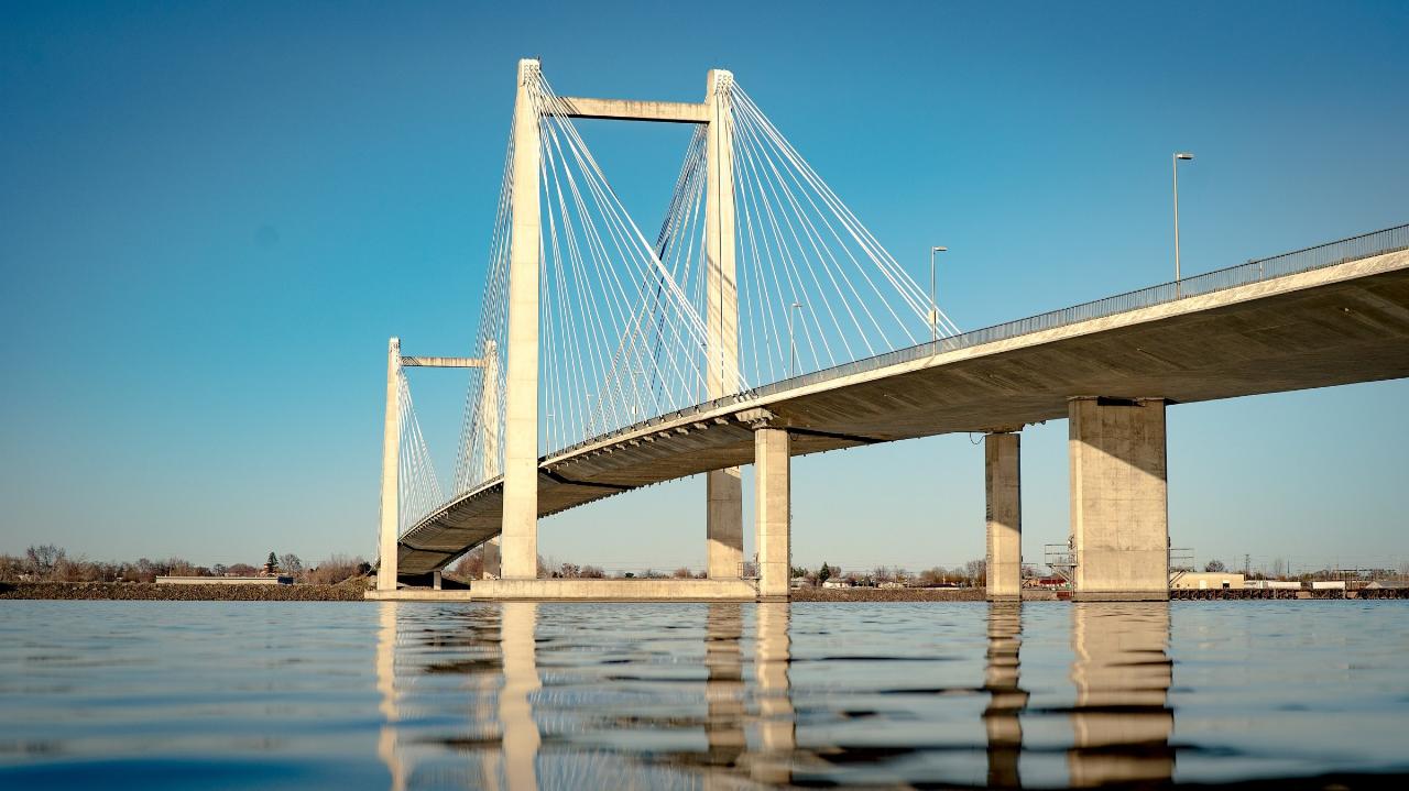
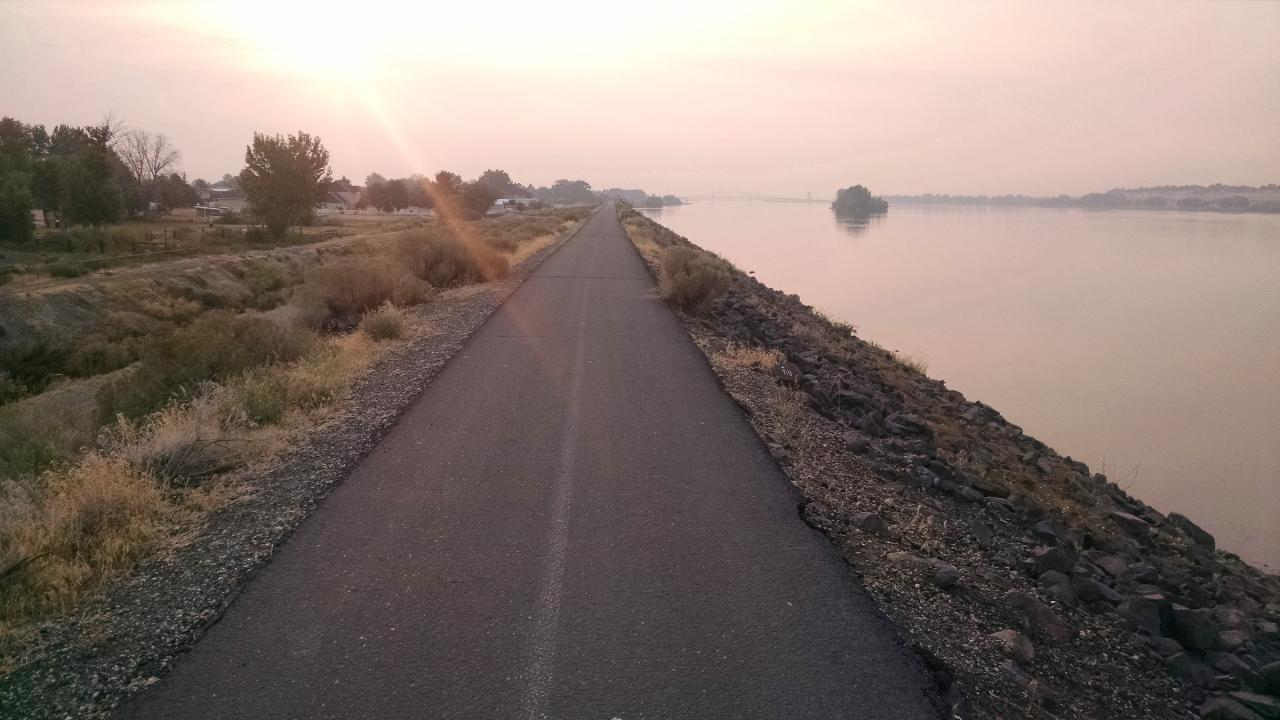
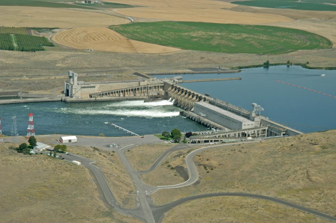
Ice Harbor Dam is about eight miles up the Snake, with a visitor center and a fish viewing room when it is open. The Sacagawea Heritage Trail is a 23 mile paved loop that circles the Columbia through Pasco, Kennewick and Richland and passes the park, which makes for an easy ride or walk from the beach. The Cable Bridge downstream is the local landmark, and downtown Pasco, with the Saturday farmers market, is ten minutes northwest.
More Information
Be courteous, informed, and prepared. Read trailhead guidelines, stay on the trail, and don't feed the wildlife.
Read More
- Plan Ahead and Prepare
- Travel & camp on durable surfaces
- Dispose of waste properly
- Leave what you find
- Minimize campfire impacts
- Respect wildlife
- Be considerate of other visitors
Directions
From Pasco, Washington
- Head south on S 4th Ave toward W Columbia St (0.8 mi)
- Turn right onto W Ainsworth St (0.7 mi)
- Continue straight onto E Ainsworth Ave (0.1 mi)
- Continue onto SE Rd 15 (0.2 mi)
- Continue onto E Dock St (0.8 mi)
- Merge onto E Ainsworth Ave (0.6 mi)
- Turn right onto Sacajawea Park Rd (0.9 mi)
- Turn left (0.2 mi)
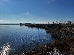
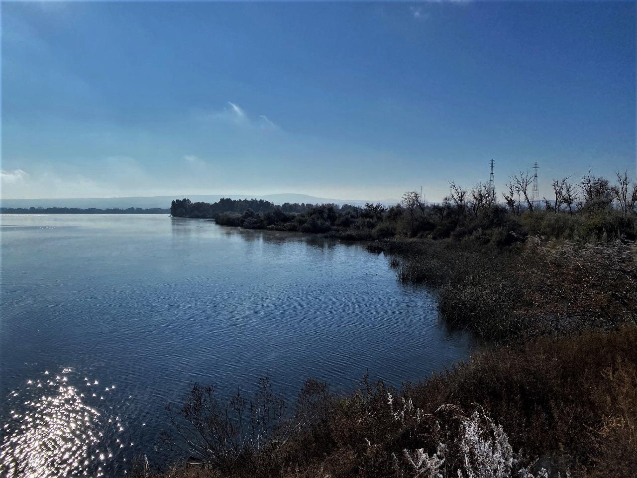
 The lower Snake River just north of Sacajawea State Park, near the confluence courtesy of Jon Roanhaus↗ (CC BY-SA 4.0↗)
 Historical marker at Sacajawea State Park courtesy of Allen4names↗ (CC BY-SA 3.0↗)
 The interpretive center at Sacajawea Historical State Park courtesy of Allen4names↗ (CC BY-SA 3.0↗)
 The Sacagawea Heritage Trail along the Columbia in Pasco courtesy of DJ Cane↗ (CC BY-SA 4.0↗)
 Ice Harbor Dam, about eight miles up the Snake from the park courtesy of Bonneville Power↗ (CC BY 2.0↗)
 The Cable Bridge over the Columbia at the Tri-Cities courtesy of Corbin Harder↗ (CC BY-SA 4.0↗)