


Salmon River
Salmon, Idaho
Camp and Whitewater
The Salmon River originates in the Sawtooth and Lemhi Valleys of central and eastern Idaho. Springs and snowmelt from the Sawtooth and Salmon River mountains feed this wild river. The river flows undammed along its 425-mile total length and drains about 14,000 square miles within the borders of Idaho. It is the longest free-flowing river in the lower 48 states. From elevations above 8,000 feet, the Salmon cascades to an elevation of 905 feet before it joins the Snake River in Hells Canyon, near the Idaho/Oregon border.
More Information
Recreation.gov - Camping, Cabins, RVs, Permits, Passes & More
We’re here to help you dream up your next trip, figure out the details, and reserve experiences at over 3,600 facilities and 103,000 individual sites across the country.
https://www.recreation.gov/- Plan Ahead and Prepare
- Travel & camp on durable surfaces
- Dispose of waste properly
- Leave what you find
- Minimize campfire impacts
- Respect wildlife
- Be considerate of other visitors
Directions
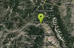
From Salmon, Idaho
- Head northeast on S St Charles St toward Main St (203 ft)
- Turn left at the 1st cross street onto US-93 N/Main StContinue to follow US-93 N(21.2 mi)
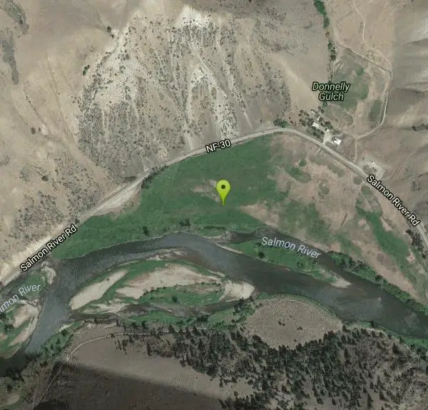
- Turn left onto NF-30/Salmon River Rd (1.2 mi)
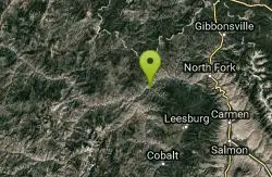
The Salmon River is located in Idaho in the northwestern United States.
Other Whitewater Rapids Nearby
Nearby Campsites
North Fork Canyon (River of No Return)
McCall, Idaho
14.1 miles WThe longest free-flowing river within one state in the lower 48 — 425 miles of the Salmon River from Sawtooth origins through designated wild and recreational corridors in central Idaho.
Camp, Canoe, Cave, Hike, Horseback, Mountain Bike, Whitewater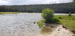
Pintler Lake Campground and Picnic Area
Wise River, Montana
40.7 miles NECamp, Canoe, Kayak, and Swim near Wise River, Montana
Camp, Canoe, Kayak, Swim


