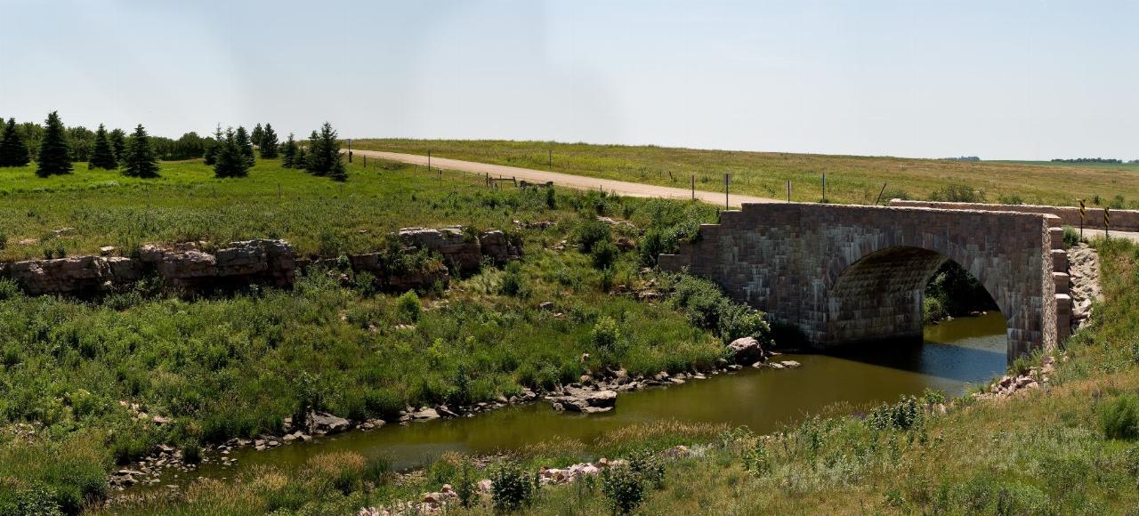
Split Rock Lake Swim Beach
Pipestone
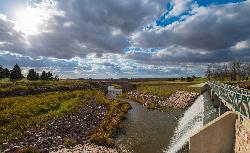
Camp, Canoe, Hike, Kayak, and Swim
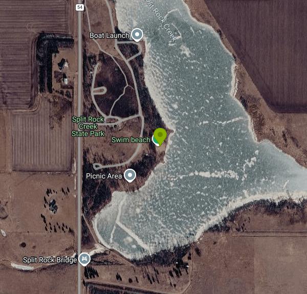
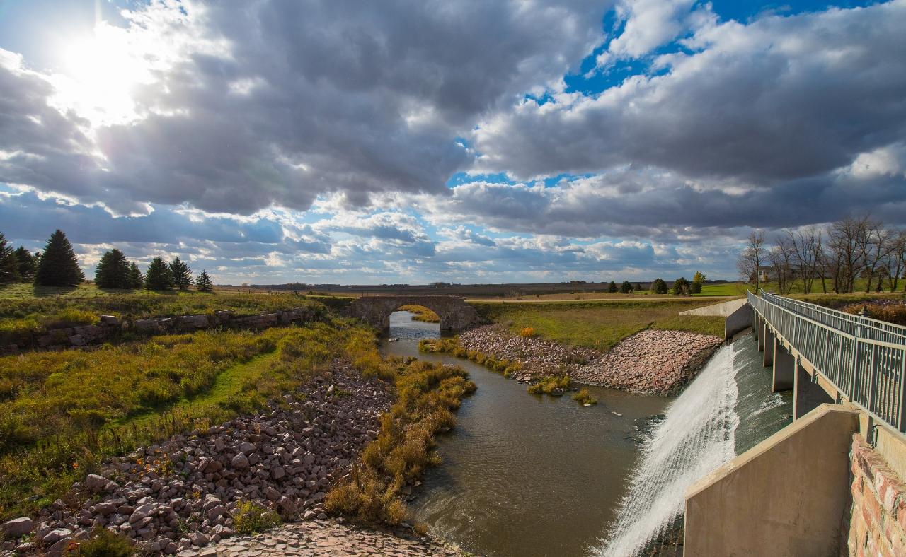
Split Rock Lake is the only lake in Pipestone County, and it exists because the Works Progress Administration dammed Split Rock Creek in 1938. The dam was built from Sioux quartzite quarried a short distance away, the same hard red stone that shows up in the road bridge beside it and in buildings all over this corner of southwest Minnesota. The swim beach sits on the lake's shore inside Split Rock Creek State Park, roughly seven miles southwest of Pipestone off State Highway 23, closer still to the small towns of Ihlen and Jasper.
The beach is a compact strip of sand with its own parking lot a short walk away, separate from the picnic ground and the campground. The bottom shelves out slowly, which is why the park describes it as a good spot for families with small children rather than a place for lap swimming. A volleyball court sits next to the sand, and you can borrow the net and ball from the ranger station. No lifeguard is posted, as is the case at Minnesota state park beaches generally.
Two things to know about the water. Split Rock Lake is a shallow prairie impoundment rather than a spring-fed or quarry lake, so clarity varies through the season. And the dam has had attention recently. Park staff found a crack in one of the piers supporting the county road bridge over the dam in 2024, closed that bridge, and drew the lake down about a foot so an engineer could reach the pier by boat before letting it refill. The separate historic stone arch bridge nearby was rehabilitated around the same period. The lake itself was not drained, and the DNR still lists the swimming beach as an active facility with no closure notice against it.
The fee is a vehicle permit charged by the Minnesota Department of Natural Resources, required year round at every state park in the system. As of 2026 that is $7 for a single day or $35 for a permit good twelve months at every park, with a second vehicle at $26 and motorcycles at $30. The beach itself costs nothing beyond the permit on your windshield.
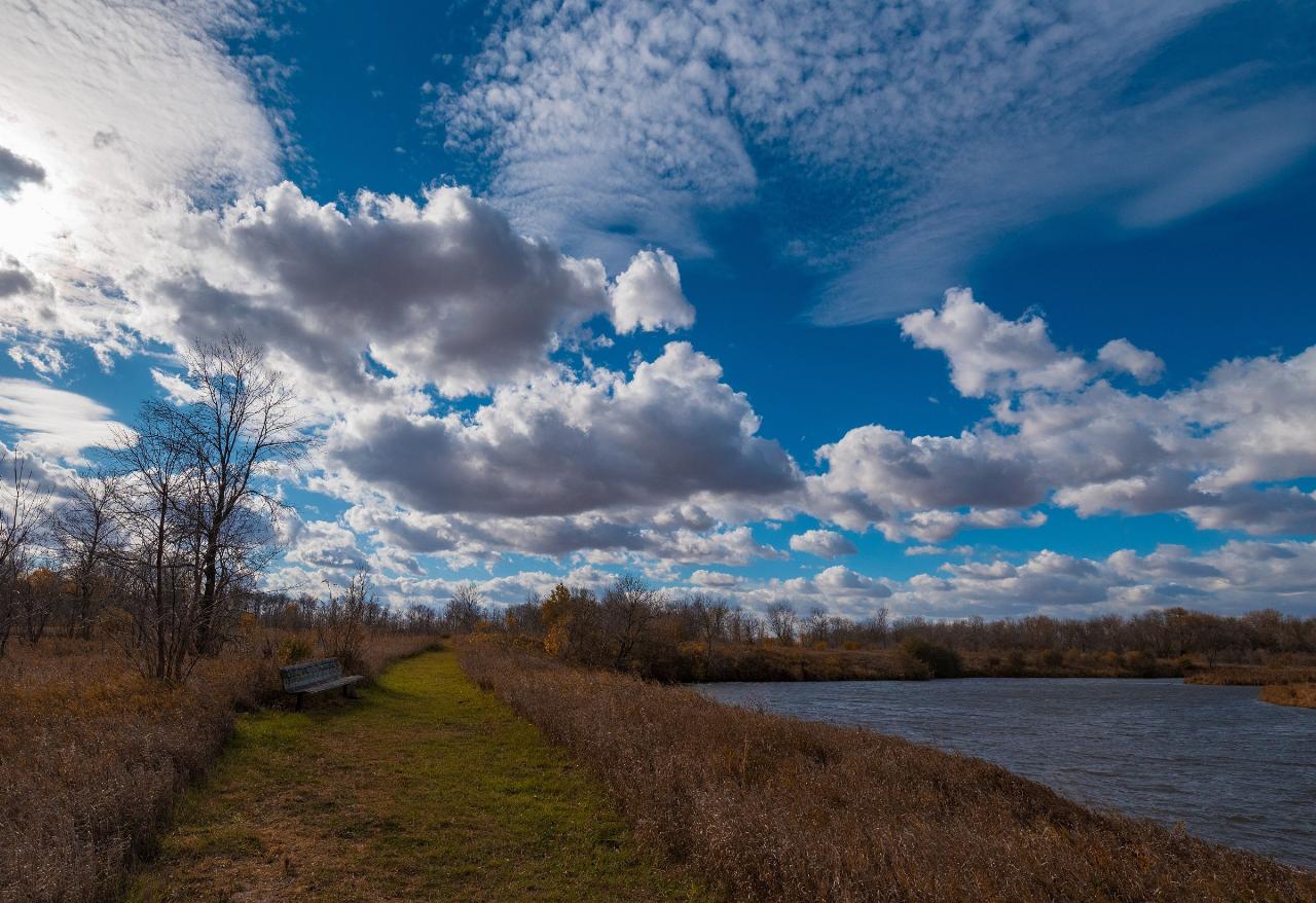
The Hiking Club Trail leaves right from the beach and loops 2.1 miles south through prairie. A quarter-mile accessible path called Redrock Trail runs from the picnic area to the dam. Canoes, kayaks and paddleboards rent from the ranger station between Memorial Day weekend and Labor Day, first come first served, and there is an accessible fishing pier and a boat access that only handles smaller craft. The campground holds 33 drive-in sites, 21 of them with electricity, plus three cart-in sites. Vault toilets at the beach parking lot stay open all year, while the flush toilets and showers are seasonal. Park gates are open daily from 8 a.m. until 10 p.m. Pipestone National Monument is about seven miles north.
More Information
Dam bridge closed at Split Rock Creek State Park - Pipestone County Star
The bridge over the dam at Split Rock Creek State Park has been closed due to a crack in one of the piers that supports it. Chris Ingebretsen, parks and trails supervisor for Blue Mounds and Split Rock Creek state parks, said park employees looked over the dam after the heavy rains and flooding in June and noticed that one […]
https://www.pipestonestar.com/articles/dam-bridge-closed-at-split-rock-creek-state-park/Fees | Minnesota DNR
Information on Minnesota state park fees.
https://www.dnr.state.mn.us/state_parks/fees.htmlMinnesota Seasons - Split Rock Creek State Park
Split Rock Creek State Park description, driving directions, photos, videos, and list of plants, birds, and other wildlife.
https://www.minnesotaseasons.com/Destinations/Split_Rock_Creek_State_Park.htmlMinnesota state parks vehicle permit | Minnesota DNR
Learn about the Minnesota state parks vehicle permit and where to buy one. Get unlimited visits to all Minnesota state parks and recreation areas for a full year from the month of purchase!
https://www.dnr.state.mn.us/state_parks/permit.htmlSplit Rock Creek State Park - Wikipedia
From Wikipedia, the free encyclopedia
https://en.wikipedia.org/wiki/Split_Rock_Creek_State_ParkSplit Rock Creek State Park | Minnesota DNR
Swim, fish, or boat the waters of Split Rock Lake, the largest body of water in Pipestone County. The lake is the predominant feature of this park. Stop by the Beach Side Trail Center for an excellent vista and to discover more about the area. Seven miles north of the park is the famous Pipestone National Monument.
https://www.dnr.state.mn.us/state_parks/park.html?id=spk00267Split Rock Creek State Park – Parks & Trails Council of Minnesota
Split Rock Creek State Park Lisa Filter/P&TC Pastoral park where a creek widens to a quiet lake in southwestern Minnesota Exploring the Park Tap for captions Bring your small motor boat to launch from the park. Linda Flanagan / P&TC Photo Contest An historic stone bridge crossing the creek. Photo credit Linda Flanagan/P&TC photo contest…
https://parksandtrails.org/state-parks/split-rock-creek/STATE PARKS SPOTLIGHT: Become a beachcomber at Split Rock Creek - Pipestone County Star
Before summer is done and dusted, how about a trip to the beach? Split Rock Creek State Park, Pipestone County’s state facility, features a man-made beach that provides local water recreation opportunities — including swimming. “A sandy, shallow area provides a great location for families to swim,” says Split Rock Creek literature. The facility is less than an […]
https://www.pipestonestar.com/articles/state-parks-spotlight-become-a-beachcomber-at-split-rock-creek/Way: Swim Beach (240741669) | OpenStreetMap
OpenStreetMap is a map of the world, created by people like you and free to use under an open license.
https://www.openstreetmap.org/way/240741669Be courteous, informed, and prepared. Read trailhead guidelines, stay on the trail, and don't feed the wildlife.
Read More
- Plan Ahead and Prepare
- Travel & camp on durable surfaces
- Dispose of waste properly
- Leave what you find
- Minimize campfire impacts
- Respect wildlife
- Be considerate of other visitors
Directions
From Pipestone
- Head east on 3rd St SE toward 5th Ave SE (243 ft)
- Turn right onto 5th Ave SE (0.3 mi)
- 5th Ave SE turns right and becomes MN-23 W (6.3 mi)
- Turn left onto County Rd 54/
Bertha Ave Continue to follow County Rd 54(1.2 mi) - Turn left (0.1 mi)
- Turn rightDestination will be on the left(338 ft)
 The Sioux quartzite dam that impounds Split Rock Lake, seen in autumn. courtesy of Tony Webster from Minneapolis, Minnesota, United States↗ (CC BY-SA 2.0↗)
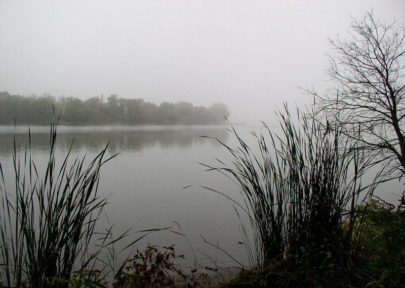
 Fog settling over Split Rock Lake, the water the swim beach fronts. courtesy of McGhiever↗ (CC BY-SA 3.0↗)
 The Hiking Club trail, which starts at the beach and loops south through prairie. courtesy of Tony Webster from Minneapolis, Minnesota, United States↗ (CC BY-SA 2.0↗)
 Split Rock Bridge, the 1938 stone arch span listed on the National Register. courtesy of McGhiever↗ (CC BY-SA 3.0↗)

 Closer view of the quartzite arch bridge near the dam. courtesy of Ben Schaffhausen↗ (CC BY-SA 2.0↗)