


St Stephens Park
Saint Stephens, Alabama
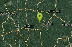
| GPS: |
31°33'2.5"N 88°3'15.5"W Maps | Directions |
| State: | Alabama |
Swim

- Plan Ahead and Prepare
- Travel & camp on durable surfaces
- Dispose of waste properly
- Leave what you find
- Minimize campfire impacts
- Respect wildlife
- Be considerate of other visitors
Directions
From Saint Stephens, Alabama
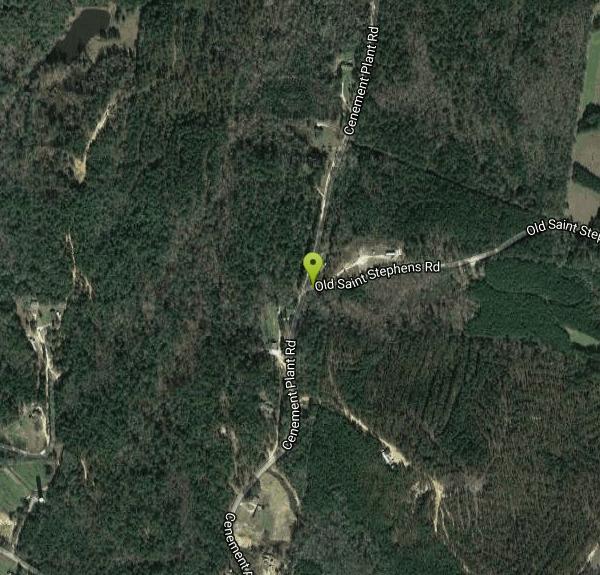
- Head southeast on Howell Rd toward Cenement Plant Rd (33 ft)
- Turn left onto Cenement Plant Rd (0.6 mi)
- Turn right onto Old Saint Stephens Rd (49 ft)
to add photos & videos and suggest edits
Edit Review
Delete Review
Other Swimming Holes Nearby
Add Location


Steel Creek
Rabun, Alabama
39.2 miles SEA horse-friendly campground in Buffalo National Forest beside a forested creek — 25 tent-only sites, miles of horse and hiking trails, and a swim-and-kayak creek nearby.
Camp, Hike, Swim
Turkey Fork Recreation Area
Richton
41.0 miles WForest Service lake beach on 240-acre Turkey Fork Reservoir in the De Soto National Forest east of Richton, with a roped swim area beside the picnic grounds. Day use is $5 per vehicle.
Camp, Hike, SwimNearby Campsites
Add Location
Steel Creek
Rabun, Alabama
39.2 miles SEA horse-friendly campground in Buffalo National Forest beside a forested creek — 25 tent-only sites, miles of horse and hiking trails, and a swim-and-kayak creek nearby.
Camp, Hike, Swim
Turkey Fork Recreation Area
Richton
41.0 miles WForest Service lake beach on 240-acre Turkey Fork Reservoir in the De Soto National Forest east of Richton, with a roped swim area beside the picnic grounds. Day use is $5 per vehicle.
Camp, Hike, Swim


