112 Things to do near Blodgett Basin Trail No. 31
first prev 1 2 3 4 5 6 next lastShowing results within 50 miles Distance miles of Bull Pen Rd, Camp Verde, AZ 86322, USA City, Zip, or Address
Brins Mesa Trail
Sedona, Arizona
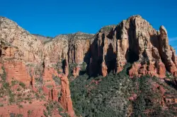
26.7 miles NBrins Mesa Trail is located in the Coconino National Forest just at the edge of the town of Sedona. This trail will provide picturesque views of the gorgeous, geological landscape. Brins...
Hike 0.5-0.6 mi
Ellison Creek Falls
Payson, Arizona
27.2 miles SEEllison Creek provides 4 beautiful waterfalls in this area, each with their own swimming and diving opportunities. There are even fishing spots where trout can be caught. Since the falls are close to...
Dive, Hike, Swim
Little Yeager Canyon Trail #533
Prescott Arizona
27.4 miles WThis is where the real fun is! Trail 533 is nothing but downhill, with several dirt jumps built, in case you want to get some serious air. Take this all the way down to Highway 89A. From...
Mountain Bike
Payson Area
Cornville, Arizona
27.7 miles SEIn the rivers around Payson, northeast of Phoenix, in the Tonto N. F., there are numerous fabulous swimming holes... Bathing suits: Some optional (some are very remote) Some arenas...
Swim 0.3 mi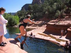
Slide Rock
Sedona, Arizona
28.0 miles NSlide Rock is one of the most popular locations in the Sedona area. Slide Rock is natures most thrilling water slides. Slide Rock is a gargantuan 80 feet long, and 2-4 feet wide. This slippery slope...
Hike, Swim
Rumsey Park
Payson, Arizona
29.4 miles SE9 baskets - dual tees make an 18 hole course. No signs and dirt tees - bring the map to navigate. Public (No Fee)
Disc Golf
Willard Springs
Sedona, Arizona
30.8 miles NMultiple forest roads that are in poor driving condition. There are about 1' deep ruts and washouts.
Mountain Bike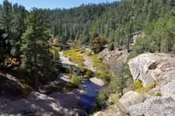
East Clear Creek
Happy Jack, Arizona
30.8 miles EEast Clear Creek is a river that stretches through the Mogollon Rim area of Arizona. It provides water to the surrounding desert landscape, fishing opportunities, and various areas to hike,...
Canyoneer, Hike, Swim
Sycamore Canyon
Sedona, Arizona
31.4 miles NWA very pleasant 3.5 mile round trip hike down into a canyon and along a perennial stream to several swimming holes. Bathing suits: May be optional at farther...
Swim 0.1-0.7 mi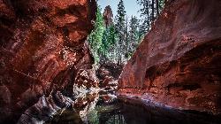
Cave Springs
Sedona, Arizona
31.6 miles NCave Springs Campground is a scenic campground that sits in Oak Creek Canyon. Cave Springs is nestled perfectly in the town of Sedona, giving the campground the notorious Sedona red views. Uniquely,...
Camp, Hike, Swim 1.6-3.6 mi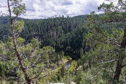
Kinder Crossing Trail #19
Happy Jack, Arizona
31.7 miles EKinder Crossing Trail #19 travels down to the beauty of East Clear Creek, and then extends up until reaching FR 137; but many people use the trail to reach the creek waters and play in the water. The...
Hike, Swim 1.0 mi
Harding Springs Trail
Sedona, Arizona
31.9 miles NHarding Springs Trail is a beautiful hiking trail in Sedona, Arizona. This trail was originally one of several that provided a way for cattlemen to drive their stock in and out of Oak Creek...
Hike 1.1-3.5 mi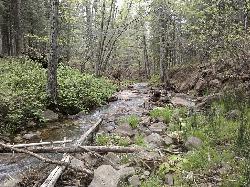
Horton Springs
Payson, Arizona
37.4 miles EHorton Springs is a spring on the Mogollon Rim that leads into Horton Creek. There are campsites near the springs, and several hiking trails in the area that lead to the spring itself. Between the...
Backpack, Camp, Hike
Upper Tonto Creek Campground
Payson, Arizona
37.5 miles EUpper Tonto Creek Campground is a beautiful place to camp at the intersection of Tonto and Horton Creeks. In addition to camping, this is a popular destination to both fish and hike. The campground...
Camp, Hike 0.8 mi
Promontory Butte
Payson, Arizona
38.8 miles EThis destination is on the edge of Promontory Butte, providing spectacularly scenic views as part of the Mogollon Rim. There are several old forest roads on the mountain that can serve as trails to...
Hike 0.8 mi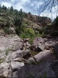
Christopher Creek Gorge
Payson, Arizona
40.2 miles SEChristopher Creek Gorge is a fun swimming or canyoneering destination located in Christopher Creek, just outside of Payson, Arizona. To get there, you have to hike from the Christopher...
Canyoneer, Hike, Swim 3.9 mi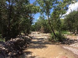
Cave Creek Swimming Hole
Cave Creek, Arizona
40.3 miles SHidden along Cave Creek Trail #4 is a swimming hole deep enough to refresh from the summer heat. It takes almost four miles of hiking in Arizona desert to reach the swimming hole, but the water is...
Hike, Swim
Round Mountain Loop
Williams, Arizona
40.8 miles NWThis ride follows a little used forest road that passes through virtually every type of ponderosa pine habitat that one could find on the south Kaibab. The scenery here is diverse....
Mountain Bike
Hell's Gate
Payson, Arizona
41.0 miles SEThis Wilderness was established in 1984, and contains approximately 37,440 rough acres with a major canyon and perennial stream extending its entire length. Deep pools of water may be separated by...
Backpack, Camp, Hike, Swim 1.1 mi
Christopher Creek Campground
Payson, Arizona
41.1 miles EChristopher Creek is a popular campground situated just east of Payson, nestled between the Christopher Creek river, and the town of the same name. This site is used for both overnight and day-use...
Camp, Canyoneer, Cross-country Ski, Hike, Swim


