


46 Things to do near Larsen Trail
first prev 1 2 3 next lastShowing results within 50 miles Distance miles of Wanoga Sno-Park, Cascade Lakes National Scenic Byway, Bend, OR, United States City, Zip, or Address
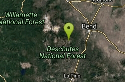
Tiddlywinks
Bend, Oregon
0.4 miles ETiddlywinks starts at the snow park trailhead (see Google Maps location) and has a short, rolling climb, and then begins to descend! Most of this trail is a gradual, rolling descent...
Mountain Bike
C.O.D.
Bend, Oregon
1.3 miles WThis trail roughly parallels Century Drive, but it is WAY more fun than riding pavement! This is great Bend singletrack: mostly buff, dry, dusty singletrack. It connects to the Storm...
Mountain Bike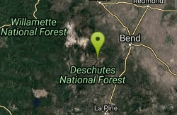
Swampy Dutchman Trail
Bend, Oregon
1.3 miles WThis trail travels from Swampy Lakes Sno-Park to Dutchman Sno-Park. It is a cross country ski/snowmobile trail that is used as a mountain bike trail in the summer. source:...
Mountain Bike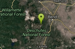
Whoops
Bend, Oregon
1.3 miles NEWhoops is a renowned flow/jump trail in the Bend area that connects to Ben's of the Phil's Area on the Eastern End and then the Swede Ridge loop on the Western End (with a connection...
Mountain Bike
Swampy Lakes Trail
Bend, Oregon
1.3 miles WThe Swampy Lakes Trail is a popular way for mountain bikers to get back to Tumalo Falls when doing the North Fork/Metolius-Windigo/Dutchman-Swampy loop around the Bend Municipal...
Mountain Bike

Sector 16
Bend, Oregon
1.7 miles WThe Sector 16 trail runs for 3.7 miles one-way from the Swede Ridge area to the Whoops Trail. This intermediate singletrack circles around a large, square parcel of private land, so be...
Mountain Bike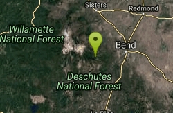
Farewell
Bend, Oregon
3.3 miles NIf you climb the North Fork trail, Farewell is a killer descent down the other side of the river, ending up back at Tumalo Falls Trailhead. The singletrack is super flowy, with some...
Mountain Bike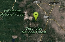
North Fork
Bend, Oregon
3.5 miles NOne of the most scenic rides around the Bend area. *Special note; this is a one way, up hill ride only, so is to be used as access to other trails farther up the mountain. From the...
Mountain Bike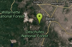
Skyliners
Bend, Oregon
3.6 miles NESkyliners is a 3.2-mile intermediate singletrack trail that runs from the Skyliner's trailhead to a junction with Whoops and Ben's trail, which is the corner of the Phil's Area Trail...
Mountain Bike
Tumalo Creek
Bend, Oregon
3.6 miles NEThe Tumalo Creek Trail is 3.5 miles one-way and parallels Skyliner road. Starting at the Skyliner trailhead, the trail runs up near the road on the ridge side to the Tumalo Falls...
Mountain Bike
Tumalo Trail System
Bend, Oregon
3.6 miles NEMassive trail system located west of Bend in the national forest.
Mountain Bike
Phil's Area
Bend, Oregon
3.6 miles NEUpdate 7/22/13 by mtbgreg1:The Phil's Area Trail System is the go-to trail system for mountain biking in Bend. Even the other trails in the region that aren't actually part of the...
Mountain Bike
Storm King
Bend, Oregon
6.0 miles EA fun trail by itself however is mainly used as access too or in conjunction with others as loop routes etc. Running N-S across the face of the Mtn slope there is not a lot of climbing...
Mountain Bike
Catch and release
Bend, Oregon
6.0 miles EMost of Catch and release is a nice flowing single track that is easy to ride. At the south end there are some rock sections that add a little fun to the route. This is a great way to...
Mountain Bike
Inn Loop
Bend, Oregon
6.9 miles EA moderately easy ride through some nice stands of lodgepole pine and ponderosa pine.Mileposts:0.0 - Trailhead parking lot at junction of FS roads 46 and 41. Head out on FS road 41.0.6...
Mountain Bike
Seventh Mountain Resort
Bend, Oregon
7.4 miles EFamily friendly resort course. Plays through well manicured park-like grounds. Tees identified by numbered yellow posts. Well defined OB. Please be cautious of other guests. Recreation Center offers...
Disc Golf
Ben's Lower
Bend, Oregon
8.8 miles NEBen's is about 7 miles long one-way, and is split into basically two portions. The lower portion is all two-way, flowy cross country trail, but the upper section of Ben's is...
Mountain Bike
Phil's Trail
Bend, Oregon
8.8 miles NESince this is the namesake for the entire trail system and the oldest trail in the area, I kind of expected a blown-out doubletrack. That is entirely NOT the case! COTA has done an...
Mountain Bike
Entrada Loop Trail
Bend, Oregon
9.3 miles ENice for day hiking, or as a mountain bike connector to either the Tumalo Trail System or the Deschutes River Trail. source: fs.usda.gov
Mountain Bike
Horse Ridge Recreation Area
Bend, Oregon
12.4 miles NEExcellent riding.
Mountain Bike


