


23 Things to do near North Fork Malheur / Trail #381
first prev 1 2 next lastShowing results within 50 miles Distance miles of North Fork Malheur / Trail #381 City, Zip, or Address
Sheep Creek / Trail #371
Prairie City, Oregon
6.1 miles NA shared-use trail following Sheep Creek through timber with scenic views from the top near Prairie City — designed for motorbikes, with water treatment recommended.
Mountain Bike
Starvation / Trail #374
Prairie City, Oregon
7.5 miles NWA steep, wooded connector trail near Prairie City linking Strawberry Mountain Wilderness to the Glacier Mountain area, with meadow campsites and cattle grazing — carry your own water.
Mountain Bike
Horseshoe / Trail #363
Prairie City, Oregon
8.6 miles NA steep, brushy climb through fire-burned terrain on a shared-use trail — no water available, so carry plenty, and Baldy Mountain nearby offers a rewarding scramble for great views.
Mountain Bike
Sunshine Flat / Trail #369
Prairie City, Oregon
11.8 miles NWShared-use ridge trail with forest openings and good views of the surrounding area — passes through grassy clearings and burned areas from a 1991 fire near Prairie City.
Mountain Bike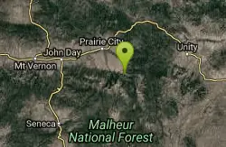
Blue Mountain Hot Springs
Prairie City, Oregon
14.7 miles NWThese historic mineral hot springs on a former Winchester Firearms estate have been reportedly closed since 2002 — call owners before making the trip.
Hot Springs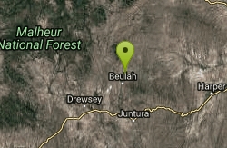
Beulah Hot Springs
Juntura, Oregon
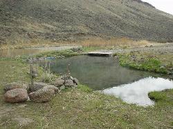
20.8 miles SEA roadside hot spring in a former reservoir near Juntura, Oregon — water flow and temperature are ample but the infrastructure is crumbling and in need of TLC; best visited spring through fall.
Hot Springs
Juntura Hot Spring
Juntura, Oregon
33.4 miles SEA roadside hot spring gravel-bar pool on the Malheur River — in summer the main pool tops 115°F, so most soaking happens at the river-edge overflow where you can mix your perfect temperature.
Hot Springs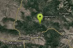
Davis Creek / Trail #244
Prairie City, Oregon
33.5 miles NWA mostly wooded trail with little elevation change through old mining and timber country near Prairie City — very rough roads to the southern trailhead; best suited for rugged vehicles.
Mountain Bike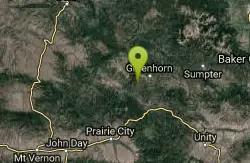
Blackeye / Trail #243
35.0 miles N
Singletrack leading to the Vinegar Hill-Indian Rock Scenic Area — sees heavy use in fall during big game hunting seasons near the Oregon backcountry.
Mountain Bike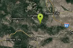
Dean Creek
Baker City, Oregon
36.3 miles NEA small trailhead facility on the south side of Phillips Lake, offering access to the South Shoreline Trail and a network of mountain biking, hiking, and equestrian routes.
Mountain Bike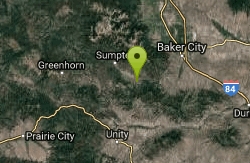
Phillips Lake North Shoreline Trail #1608
Baker City, Oregon
36.3 miles NEA network of four mountain bike trails through rolling ponderosa pine hills near Phillips Reservoir, with views of waterfowl, deer, and historic rock dredge piles — usable year-round for hiking, biking, or skiing.
Mountain Bike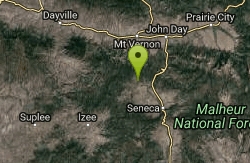
Long Glade - Yellow
Canyon City, Oregon
36.4 miles WOpen Ponderosa pines, meadows, up to 45' elevation, two water hazards, and doglegs both ways — a private course at 4,800' elevation requiring prior contact with Tom.
Disc Golf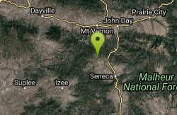
Long Glade - Blue
Canyon City, Oregon
36.4 miles WLaid out through open Ponderosa pines and mountain meadows at 4,800-foot elevation, this private Oregon course features doglegs, water hazards, and seasonal closures — contact Tom before visiting.
Disc Golf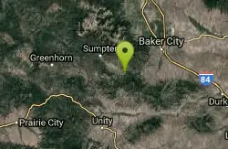
Phillips Lake South Shoreline Trail #1610
Baker City, Oregon
36.5 miles NEA scenic, easy shoreline trail tracing the southern banks of Phillips Lake through grasslands and ponderosa pine, with lake views, Elkhorn Mountain backdrops, and waterfowl sightings.
Mountain Bike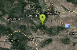
Southeast Shore Phillips Lake
Baker City, Oregon
36.9 miles NEA year-round southeast shore access point for hiking, mountain biking, cross-country skiing, and snowshoeing on the Phillips Lake South Shoreline Trail system.
Mountain Bike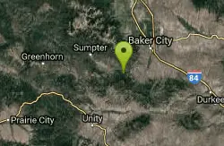
Phillips Lake Southern Bike & XC Ski Trails
Baker City, Oregon
37.6 miles NESouth of Phillips Lake, these trails open for mountain biking and hiking in spring through fall, and switch to cross-country skiing and snowshoeing in winter through open ponderosa pine and fir forest.
Mountain Bike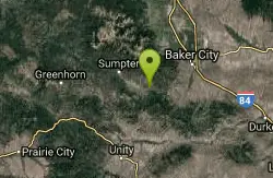
Social Security Point
Baker City, Oregon
37.8 miles NEA ponderosa pine forest trailhead above Phillips Lake's northern shore connects to the Phillips Lake North Shoreline Trail heading west to the upper lake or east toward campground and boat launch.
Mountain Bike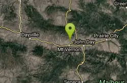
Mount Vernon Hot Springs
Mount Vernon, Oregon
39.9 miles NWHot Springs near Mount Vernon, Oregon
Hot Springs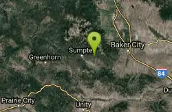
Elkhorn Crest National Recreation Trail #1611
Baker City, Oregon
40.4 miles NThe highest trail in Oregon's Blue Mountains follows the Elkhorn ridgeline through sub-alpine forests, past six mountain lakes, and offers panoramic views of the Baker Valley and Wallowas.
Mountain Bike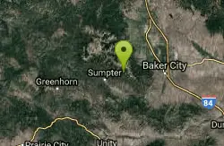
Twin Lakes
Baker City, Oregon
42.7 miles NA trail climbing through old-growth spruce and Douglas-fir to Twin Lakes, with summer wildflower meadows, mountain goats on the ridge, and flat lakeside camping for horses and hikers.
Mountain Bike


