


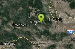
Twin Lakes
Baker City, Oregon
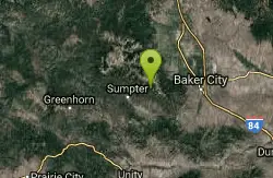
| Address: | ~NF-030, Baker City, OR 97814, USA |
| GPS: |
44°46'42.2"N 118°5'24.2"W Maps | Directions |
| State: | Oregon |
| Trail Length: | 6.00 miles |
| Trail Type: | Out & Back |
| MTB Trail Type: | Singletrack |
Mountain Bike
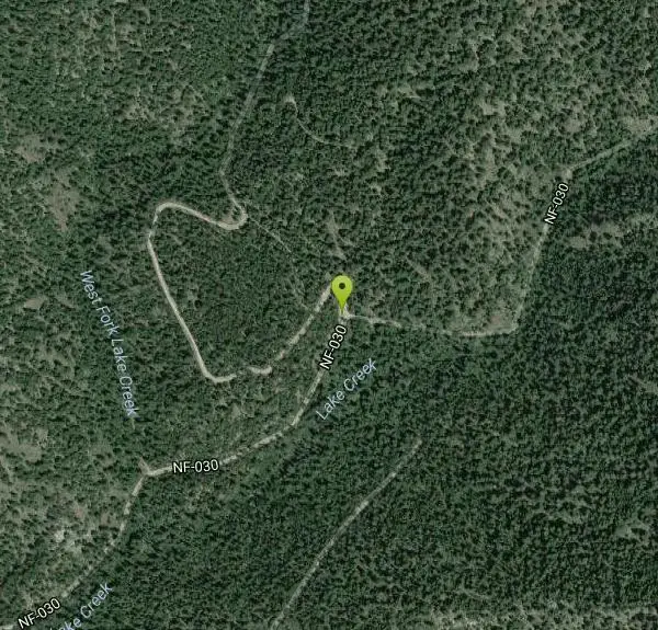
The Twin Lakes Trailhead is a small facility located on the southern end of the Elkhorn Mountains. This is the lower access route into Twin Lakes. This facility has no amenities and is used by hunters, day hikers, backpackers, mountain bikers and horseback riders. The trail to Twin Lakes follows Lake Creek up the drainage climbing fairly steep through an open forest with scattered old growth spruce and Douglas-fir trees in the first portion. It crosses the creek once, about 1/2 mile from the trailhead. At approximately 2 miles up the trail, the junction with the old trail to Marble Pass to the south is still visible. From that point the trail traverses an open hillside meadow resplendent with wildflowers in the summer. Mountain goats are often seen in their haunts on the ridge west of the Twin Lakes basin. A large flat meadow just above the eastern shore of the lakes provides an ample camping area and grazing for horse; other camping areas exist between the two lakes. via fs.usda.gov Courtesy of Singletracks.com
Never modify trail features. Ride trails when they're dry enough that you won't leave ruts. Speak up when you see others on the trail and always yield to hikers, horses, and others coming uphill. Always ride on the established trail.
Read More- Plan Ahead and Prepare
- Travel & camp on durable surfaces
- Dispose of waste properly
- Leave what you find
- Minimize campfire impacts
- Respect wildlife
- Be considerate of other visitors
Directions
From Baker City, Oregon
- Head south on 4th St toward Auburn Ave (138 ft)
- Turn left at the 1st cross street onto Auburn Ave (0.1 mi)
- Turn right at the 2nd cross street onto 2nd St (0.3 mi)
- Turn right onto OR-7 S/Dewey AveContinue to follow OR-7 S(22.2 mi)
- Turn right toward Deer Cr Rd (236 ft)
- Turn left onto Deer Cr Rd (2.3 mi)
- Continue onto NF-6550 (1.0 mi)
- Slight right (1.3 mi)
- Continue onto NF-030Destination will be on the left(1.8 mi)
Other Mountain Bike Trails Nearby
Elkhorn Crest National Recreation Trail #1611
Baker City, Oregon
2.3 miles SThe Elkhorn Crest Trail (#1611) was established as a National Recreation Trail in 1979. It is the highest trail in the Blue Mountains and runs along the Elkhorn Mountain ridgeline...
Mountain Bike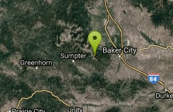
Marble Pass Trailhead
Baker City, Oregon
2.8 miles EThe Marble Pass Trailhead is located on the southern end of the Elkhorn Crest National Recreation Trail in the Elkhorn Mountain range west of Baker City. The small site is very rustic...
Mountain Bike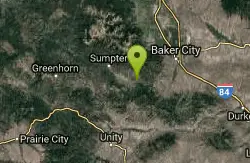
Social Security Point
Baker City, Oregon
6.5 miles SThe Social Security Point Trailhead is located in an open ponderosa pine forest above the northern shore of Phillips Lake. Although the area is used by many visitors, it is also a...
Mountain Bike
Phillips Lake North Shoreline Trail #1608
Baker City, Oregon
7.1 miles SThe Phillips Lake North Shore trail traverses the northern banks of Phillips Reservoir connecting Mason Dam Boat Launch, Union Creek Campground, Social Security Point, Mowich Loop to a...
Mountain Bike
Phillips Lake South Shoreline Trail #1610
Baker City, Oregon
7.6 miles SThe Phillips Lake South Shoreline trail begins on the south side of Mason Dam and ends near Southwest Shore Campground. The trail traverses the southernly banks of the lake (actually a...
Mountain Bike
Dean Creek
Baker City, Oregon
7.8 miles SThe Dean Creek Trailhead is a small facility located on the south side of Phillips Lake. It one of several trailheads or areas available to access the Phillips Lake South Shoreline...
Mountain Bike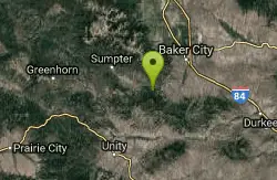
Phillips Lake Southern Bike & XC Ski Trails
Baker City, Oregon
8.7 miles SEThere are several dual purpose summer and winter trails located south of Phillips Lake that offer a variety of recreation opportunities. In the winter these trails are open for cross...
Mountain Bike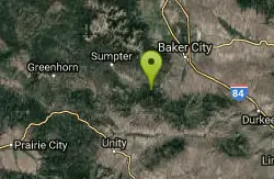
Southeast Shore Phillips Lake
Baker City, Oregon
9.1 miles SEThe Southeast Shore Phillips Lake Trailhead is a small minimally developed facility located across Mason Dam on the southeast side of Phillips Lake. The facility offers year-round...
Mountain Bike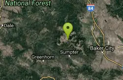
North Powder River / Trail #1632
Baker City, Oregon
9.2 miles NWLight use trail open to mountain bikes.
Mountain Bike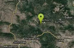
Blackeye / Trail #243
23.8 miles W
This trail leads to Vinegar Hill-Indian Rock Scenic Area. Its high use period is in the fall during big game hunting seasons. via fs.usda.gov
Mountain Bike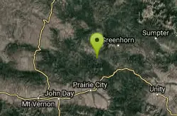
Davis Creek / Trail #244
Prairie City, Oregon
29.6 miles WThe majority of the trail is in moderate to heavy timber with only a few scenic vistas. Evidence of old mining and timber activities are visible from the trail.The roads to the southern...
Mountain Bike
Horseshoe / Trail #363
Prairie City, Oregon
35.8 miles SWThe trail begins as a narrow dirt road, narrowing to a shared use trail after about 3/4 of a mile. You may encounter motorized users.The trail climbs abruptly up and continues to be...
Mountain Bike
Sheep Creek / Trail #371
Prairie City, Oregon
37.5 miles SWThis shared use trail follows along Sheep Creek. The trail is mostly timbered offering scenic views of the area at the top. Carry water or treatment method to avoid contamination. This...
Mountain Bike
Sunshine Flat / Trail #369
Prairie City, Oregon
38.2 miles SWThis shared use trail begins along the ridge top,and has many openings in the forest offering good views of the surrounding area. The trail goes through a couple of grassy clearings,...
Mountain Bike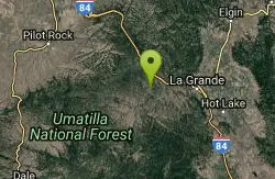
Spring Creek
La Grande, Oregon
39.5 miles NThe Spring Creek Bike Trail Loop A (#B-100) is one of four bike trails in the Springs Creek area. The trail is 7.5 miles long and makes an outer loop through the rolling ponderosa pine...
Mountain Bike
Starvation / Trail #374
Prairie City, Oregon
42.0 miles SWTrail provides tie through route from the Strawberry Mountain Wilderness to the Glacier Mountain area. The trail travels through wooded areas the majority of the time and has areas in a...
Mountain Bike
North Fork Malheur / Trail #381
42.8 miles S
Trail has a foot bridge that crosses the North Fork Malheur Wild and Scenic River at the trailhead, then goes along the west side of the river into an incredible remote canyon. Watch...
Mountain Bike


