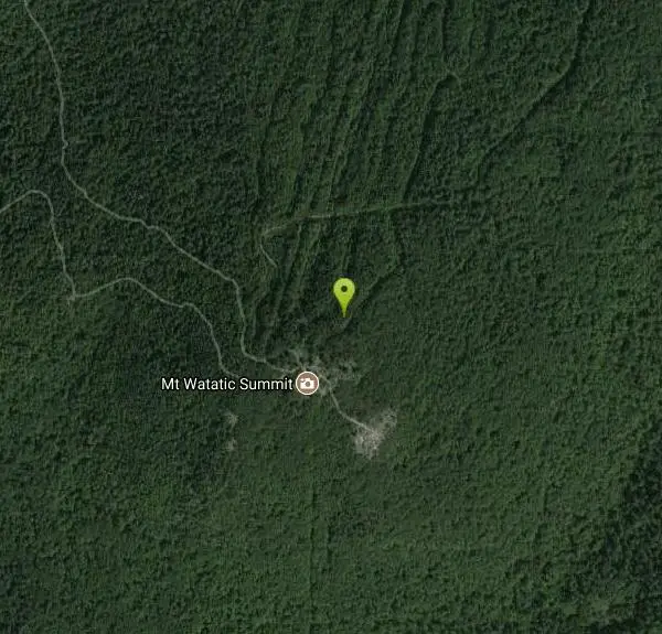
Watatic Glade
Ashburnham, Massachusetts
| GPS: |
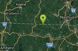
42°41'51.7"N 71°53'30.8"W Maps | Directions |
| State: | Massachusetts |
Backcountry Ski
Mount Watatic is a 1,832 foot (558 m) monadnock located on the Massachusetts-New Hampshire border, at the southern end of the Wapack Range of mountains. It lies within Ashburnham, Massachusetts, Ashby, Massachusetts, and New Ipswich, New Hampshire; the 22 miles (35 km) Wapack Trail and the 92 miles (148 km) Midstate Trail both cross the mountain. The Yellow Arrow trail is 1.1 miles.
More Information
Friends of the Wapack - Preserving the Wapack Trail for generations to come.
Dedicated to preserving and maintaining the Wapack Trail for generations to come.
https://wapack.org/
- Plan Ahead and Prepare
- Travel & camp on durable surfaces
- Dispose of waste properly
- Leave what you find
- Minimize campfire impacts
- Respect wildlife
- Be considerate of other visitors
Directions
From Ashburnham, Massachusetts
- Head north on MA-101 N toward MA-12 S (79 ft)
- Turn right onto MA-101 N/MA-12 S (449 ft)
- Turn left onto MA-101 N (4.0 mi)
- Turn left onto MA-119 W (1.0 mi)
Route 119 Ashburnham, Massachusetts. Take Pillsbury Rd North off of 119. Go about 1.5 miles and take a left on Bennett Road and proceed about a mile to the gate on the left. Follow the gravel access road up Mount Watatic. At top, go to
John R. Cauvel
2/15/21 10:22 am