


Lake Dennison Recreation Area
Winchendon
Camp, Canoe, Hike, Kayak, and Swim
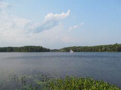
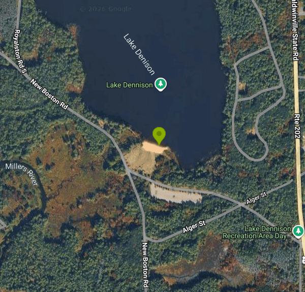
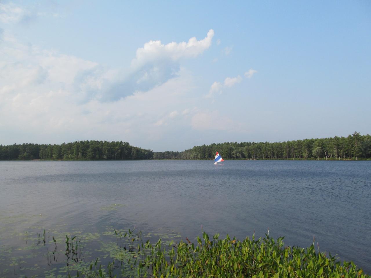
Lake Dennison Recreation Area is a 121-acre Massachusetts state park in the town of Winchendon, run by the Department of Conservation and Recreation (DCR) out of the Otter River State Forest office. The land belongs to the U.S. Army Corps of Engineers as part of the Birch Hill Dam flood control project on the Millers River watershed, and the state manages it for recreation under a long-standing arrangement. The swimming is in Lake Dennison itself, a lake of roughly 82 to 85 acres with a shoreline that is almost entirely wooded and undeveloped. The day-use beach sits at the south end of the lake, a short distance from the main campground.
The park is on Route 202 (Baldwinville State Road) north of Baldwinville and about four miles south of downtown Winchendon. From Route 2, take Route 202 north for roughly six miles. The campground address is 219 Baldwinville State Road, Winchendon, but that gate leads to the camping loops. Day visitors use the separate day-use entrance, which leads to a parking lot just behind the beach and picnic grove, so the walk to the sand is short.
The beach is a strip of sand on the lake's southern shore, and the bottom is sandy. The water is clean but tea-colored from natural tannins, which limits how far down you can see, and the lake averages about 8 to 9 feet deep with the deepest spots near 18 feet, so the bottom drops away once you leave the shallows. It is a shallow, sheltered lake that warms up well by midsummer, and there is no current to speak of. DCR lists beach hours of 10 a.m. to 8 p.m. daily from late May to early September. Lifeguard coverage is not stated on the state's park page, so check the posted signs at the beach and assume you are swimming on your own outside guarded hours. Beach wheelchairs are available.
The charge here is a state parking fee per car during the summer season. In 2026 DCR charges $8 per vehicle with Massachusetts plates and $30 for vehicles with out-of-state plates, collected 9 a.m. to 5:30 p.m. daily from May 23 through September 7. Residency is decided by the license plate. DCR's annual state parks parking pass and lifetime senior pass cover the fee.
Dogs are allowed in the park but not on the beach, and alcohol is prohibited throughout. Natural lakes have sudden drop-offs, underwater branches and poor visibility, and the dark water here makes a struggling swimmer hard to spot, so keep children within reach. Boats and paddlers use the lake as well. Only non-motorized boats and small outboards (10 horsepower or less) are allowed, and the car-top boat ramp is on the west shore north of the beach. DCR posts trail closures on its park page.
The day-use area has a pavilion, picnic tables, grills and restrooms. The campground has 150 sites, several of them right on the water, plus a small beach of its own for campers in the North Camping Area. In 2026 sites cost $17 a night for Massachusetts residents and $54 for non-residents. More than 50 miles of trails link the park with the Birch Hill Wildlife Management Area for hiking, mountain biking and horseback riding, and Otter River State Forest is about a mile and a half to the south. Anglers fish the lake from shore and from canoes and kayaks.
More Information
Be courteous, informed, and prepared. Read trailhead guidelines, stay on the trail, and don't feed the wildlife.
Read More
- Plan Ahead and Prepare
- Travel & camp on durable surfaces
- Dispose of waste properly
- Leave what you find
- Minimize campfire impacts
- Respect wildlife
- Be considerate of other visitors
Directions
From Winchendon
- Head south on Central St (0.5 mi)
- Turn right onto Front St (0.2 mi)
- Continue onto US-202 S/
River St Continue to follow US-202 S(3.8 mi) - Sharp right (0.4 mi)




Other Swimming Holes, Hiking Trails, Canoeing Areas, and Kayaking Areas Nearby
Doane Falls
Royalston, Massachusetts
5.9 miles WSwim near Royalston, Massachusetts
Swim
Royalston Falls
Royalston, Massachusetts
9.8 miles NWSwim near Royalston, Massachusetts
Swim
Contoocook Beach
Jaffrey
11.5 miles NContoocook Beach is the Town of Jaffrey's sand beach on 344-acre Contoocook Lake, with a buoyed swim area, a bathhouse and concession stand, and Mount Monadnock filling the skyline across the water. Swimming is free for everyone, but the parking lot is re
Canoe, Hike, Kayak, Swim
Leominster State Forest
Princeton, Massachusetts
14.4 miles SEOver 135 acres of surface water across five ponds in Leominster State Forest, with lifeguarded swimming at one pond, plus hiking, biking, and permitted rock climbing. Fees apply.
Swim
Lake Wyola State Park
Shutesbury
20.1 miles SWDCR's Carroll A. Holmes Recreation Area has a lifeguarded sand beach on the northwest shore of quiet Lake Wyola in Shutesbury, with a seasonal $8 (MA) or $30 (out-of-state) parking fee.
Canoe, Hike, Kayak, Swim
Pisgah State Park
Hinsdale, New Hampshire
21.8 miles NWA clothing-optional swimming area at Kilburn Pond inside Pisgah State Park — separate from the park's Pisgah Reservoir, so be sure to head to the right body of water.
Swim
Puffers Pond
Amherst, Massachusetts
26.9 miles SWSwim near Amherst, Massachusetts
Swim
Green River Swimming and Recreation Area
Greenfield
27.1 miles WGreenfield's municipal swim area on the Green River, where a low dam backs the current into a cold, slow pool with a sand beach, a WPA era bathhouse and lawns full of shade trees.
Swim
Greenfield Area
Southwick, Massachusetts
27.1 miles WSwim near Southwick, Massachusetts
Swim
Sandy Pond Beach
Ayer
27.5 miles EAyer's lifeguarded town beach on Sandy Pond, a 73-acre kettle pond. Residents swim free; non-residents pay $8 a day ($5 for children) during the summer season.
Swim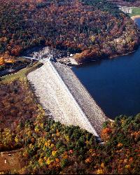
Surry Mountain Lake Beach
Surry
27.6 miles NWA free Army Corps of Engineers beach on Surry Mountain Lake, six miles north of Keene, with a long sandy swim area, no lifeguards, and weekly water testing that sometimes brings summer bacteria advisories.
Canoe, Hike, Kayak, Swim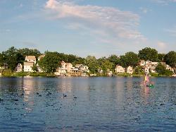
Regatta Point Beach
Worcester
30.3 miles SEA small guarded swimming beach on Lake Quinsigamond in Worcester, part of DCR's Quinsigamond State Park, with lifeguards in summer and a daily DCR parking fee of $8 for Massachusetts plates and $30 for out-of-state plates.
Swim 2.1 mi
Wildcat Falls
Merrimack, New Hampshire
33.1 miles NECLOSED. THIS location has been closed until further notice. Effective June 26th, 2020 due to illegal activities and trail damage. An 87-acre conservation area along the Souhegan River featuring Wildcat Falls, pine and hardwood forest, a Heritage Trail extension, blueberry picking, and great bird watching in a cleared meadow.
Cross-country Ski, Dive, Hike, Mountain Bike, Snowshoe, Swim
Glacial Potholes
Shelburne Falls, Massachusetts
33.3 miles WSwim near Shelburne Falls, Massachusetts
Swim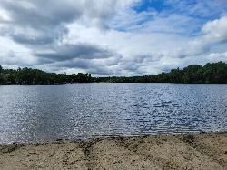
Heart Pond Beach
Chelmsford
36.2 miles EFree, unguarded town beach on 91-acre Heart Pond in South Chelmsford, open dawn to dusk to residents and non-residents, right beside the Bruce Freeman Rail Trail.
Canoe, Kayak, Swim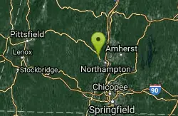
Orange Dam
Northampton, Massachusetts
37.1 miles SWSwim near Northampton, Massachusetts
Swim
Dean Pond
Monson, Massachusetts
38.5 miles SSwim near Monson, Massachusetts
Swim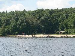
Hopkinton State Park Upper Beach
Ashland
39.4 miles SEThe unguarded reservoir beach above the dam at Hopkinton State Park, separate from the guarded Main Beach below it, with 8 dollar resident parking and boat rentals on the water.
Canoe, Hike, Kayak, Swim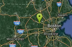
Walden Pond State Resreve
Concord, Massachusetts
40.6 miles ESwim near Concord, Massachusetts
Swim
Cummington
Cummington, Massachusetts
42.2 miles WA small, cool pond on the river with a wide sandy beach and a mostly gay social atmosphere — clothing is optional, and parking near Route 9 is limited.
Swim


