


Arizona Snowbowl
Flagstaff, Arizona
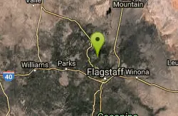
| Address: | 9300 North Snow Bowl Road, Flagstaff, AZ |
| GPS: |
35°19'51.3"N 111°42'36.8"W Maps | Directions |
| State: | Arizona |
Disc Golf
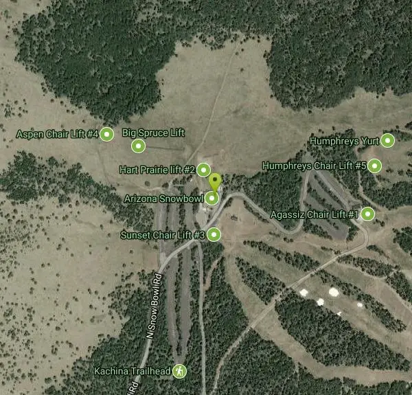
Premier course nestled below the summit of the majestic Humphreys Peak. Starts and finishes at the Agassiz Lodge (9500'), with a practice basket just outside the Lodge. Map at website. Public (No Fee)Courtesy of DiscGolfUnited.com
More Information
Add Resource
- Plan Ahead and Prepare
- Travel & camp on durable surfaces
- Dispose of waste properly
- Leave what you find
- Minimize campfire impacts
- Respect wildlife
- Be considerate of other visitors
Directions
From Flagstaff, Arizona
- Head west on Historic Rte 66 toward N Humphreys St (20 ft)
- Turn right onto N Humphreys St (0.6 mi)
- Turn left onto W Columbus Ave (292 ft)
- Continue onto US-180 W/N Fort Valley Rd (6.6 mi)
- Turn right onto N Snow Bowl RdDestination will be on the left(6.6 mi)
7 miles NW of town on Hwy 180, turn right on Snowbowl Rd., 7 miles to the AZ Snowbowl. 1st tee at Agassiz Lodge.Courtesy of DiscGolfUnited.com
Other Folf Courses Nearby
McPherson Park
Flagstaff, Arizona
9.0 miles SEModerate rocky terrain through Ponderosa pine and oak with views of the San Francisco Peaks at McPherson Park in Flagstaff — bring a map and note it closes November through March.
Disc Golf
Thorpe Park
Flagstaff, Arizona
9.1 miles SDisc golf at 7,000 feet through Ponderosa pines, with open shots and tight ones — the city advises playing at your own risk on this rocky terrain.
Disc Golf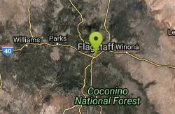
Northern Arizona University Disc Golf Course
Flagstaff, Arizona
11.0 miles SDense Ponderosa pine forest at 7,000 feet with tight paths, great elevation, tough lies, and a few long holes — beautifully maintained with woodchip trails.
Disc Golf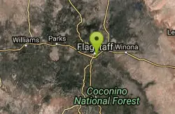
Ridge Line Disc Golf Course
Flagstaff, Arizona
11.1 miles SA short, technical disc golf course winding through an apartment complex with significant elevation changes and great views of the San Francisco Peaks — water and OB in play.
Disc Golf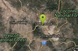
Riverfront Park
Cottonwood, Arizona
43.8 miles SWA free disc golf course winding through a rich riparian area with mature cottonwoods near Cottonwood, Arizona — narrow fairways, soft landings, and a helpful map.
Disc GolfNearby Campsites
Cave Springs
Sedona, Arizona
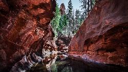
23.2 miles SAn 84-site campground on Oak Creek in Sedona's canyon, with picnic tables and natural tree shade, close to Slide Rock, swimming holes, and the Coconino National Forest.
Camp, Hike, Swim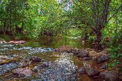
Chavez Crossing
Sedona, Arizona
33.9 miles SA campground on Oak Creek in Sedona's red-rock canyon, perfectly placed for cool water play, sunsets over Munds Mountain, and access to nearby swimming holes.
Camp, Hike, Swim
Beaver Creek Dispersed Camping
Rimrock, Arizona
45.4 miles SThis free dispersed camping area sits on the cliffs above Wet Beaver Creek in the Coconino National Forest of central Arizona, in the red-rock and juniper country near Rimrock and Camp Verde, not far...
Camp
Beaver Creek Campground
Camp Verde, Arizona
45.7 miles SBeaver Creek is a refreshing creekside oasis in the high desert of central Arizona, where the cool, clear waters of Wet Beaver Creek wind beneath big cottonwoods and sycamores in the Coconino...
Camp, Canoe, Kayak, Swim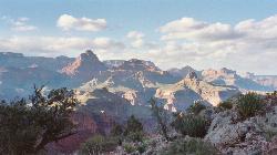
Tonto Trail: New Hance Trail to Grandview Point
Grand Canyon Village, Arizona
46.9 miles NA remote Grand Canyon hike connecting New Hance Trail to Grandview Point along the Tonto Trail — spectacular inner canyon scenery and serious backcountry adventure.
Backpack, Camp, Hike 9.1 mi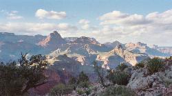
New Hance Trail
Grand Canyon Village, Arizona
48.1 miles NA 9-mile out-and-back through Red Canyon to the Colorado River — one of the most difficult Grand Canyon trails with a 4,500-ft elevation change and very limited water sources.
Backpack, Camp, Hike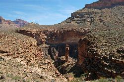
Tonto Trail from Grandview Point to South Kaibab Trailhead
Grand Canyon Village, Arizona
48.6 miles NA rigorous four-to-five-day point-to-point backpack along the scenic, remote Tonto Trail from Grandview Point to the South Kaibab Trailhead — recommended for experienced Grand Canyon backpackers with careful water planning.
Backpack, Camp, Hike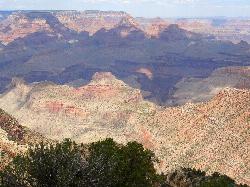
Grandview Trail Loop
Grand Canyon Village, Arizona
48.6 miles NA scenic Grand Canyon hiking trail — mountain bikes are illegal on Canyon trails, so lace up your boots and enjoy the views on foot.
Backpack, Camp, Cross-country Ski, Hike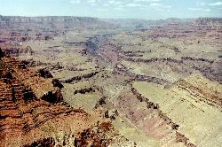
Tanner Trail
Grand Canyon Village, Arizona
49.2 miles NA rigorous rim-to-river backpacking route recommended only for seasoned hikers — relentlessly steep, rocky, shadeless, and waterless until the Colorado River, with access to one of the canyon's most scenic beach campsites.
Backpack, Camp, Hike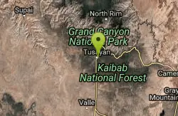
Grand Canyon South Rim Area Campgrounds
Grand Canyon Village, Arizona
49.8 miles NWCampgrounds at the Grand Canyon's South Rim, one of the most iconic settings in the American Southwest.
Camp


