


Belle Isle Beach
Detroit
Canoe, Hike, Kayak, and Swim
The buoyed swim area at Belle Isle Beach is open Memorial Day through Labor Day only, so from early September until the following Memorial Day it is closed for the season. Michigan DNR posts the summer hours as 5 a.m. to 9 p.m. daily. Outside that window there is no marked swim zone, no buoy line in the water and no seasonal staff resetting it, and the Detroit River is not a place to improvise.
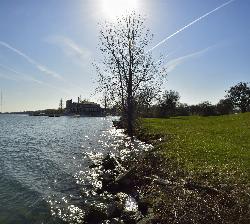
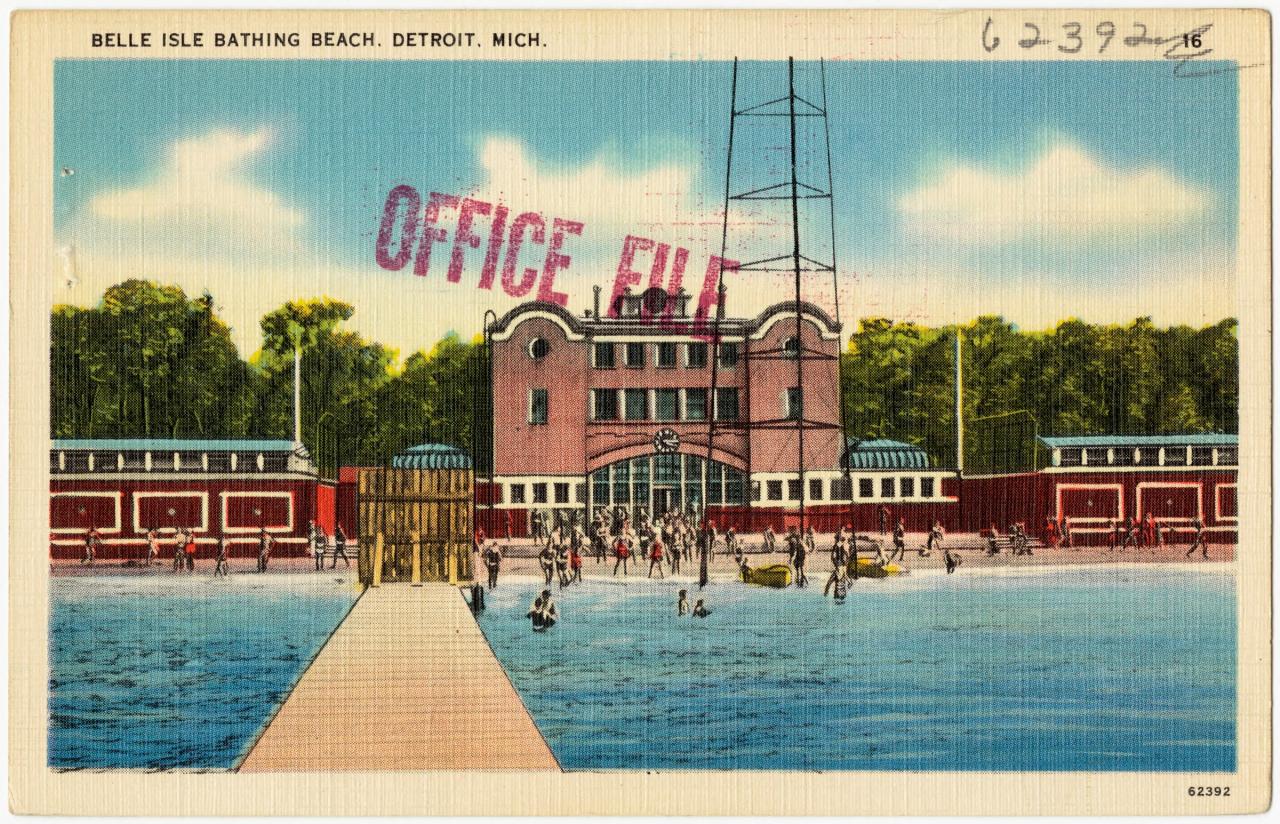
Belle Isle is a 985 acre island park sitting in the Detroit River between Detroit and Windsor, Ontario. The City of Detroit leased the island to the State of Michigan in October 2013 and it opened as a state park on February 10, 2014, which is why a city island is run by state rangers today. The beach is a shallow crescent on the island's northeast end, about a half mile of sand with a bath house and restrooms behind it and a free lot, including accessible spaces, a short walk back from the water.
The fee is a Recreation Passport, charged by the Michigan DNR for bringing a vehicle into the park, not for swimming. For 2026 that runs $15 a year for a Michigan-registered vehicle bought at license plate renewal, $29 for two years, or $7 for a motorcycle or moped. Out-of-state plates pay $42 for the year or $12 for a single day. A $5 convenience fee normally applies when the passport is bought anywhere other than plate renewal, and Belle Isle is the one place in the state system exempted from that fee. There is a self-serve kiosk on the island. You can also skip the passport entirely by taking DDOT bus 12 Conant onto the island, which needs no vehicle permit at all.
Two things about the water are worth knowing before you go. The Detroit River carries an enormous volume of Great Lakes water and runs about three miles an hour in the channel, and there are no lifeguards here. Michigan stopped staffing lifeguards at state-run beaches in the 1990s and now relies on life rings posted at every buoyed swim area, with park staff checking and adjusting the buoy line roughly every two weeks. The beach itself sits in a cove that slows the current close to shore, which is the reason it works as a beach at all. The buoys mark where that shelter ends. Beyond them the river is working water with freighter traffic.
The other is bacteria. Park rangers pull weekly samples and lab results lag about two days, so a closure by the Detroit Health Department is always describing water from earlier in the week rather than water you are standing in. The beach has been closed for E. coli several times over the past decade, including July 2024 when a daily mean of 920 per 100 milliliters came back at more than triple the state standard of 130. Check EGLE's BeachGuard map for the current posting before driving out.
The rest of the island reads like an old city park because that is what it is, laid out on an Olmsted plan from 1881. There is a conservatory, an aquarium, a marble lighthouse on the north shore, two accessible kayak launches, two fishing piers and the southern trailhead of Michigan's Iron Belle Trail. Camping is not permitted anywhere on the island.
More Information
A Detroiter’s guide to swimming safety at Belle Isle
Signing up for beach closure alerts is one way to stay safe when swimming in the Detroit River at Belle Isle Beach.
https://outliermedia.org/detroiters-guide-to-swimming-safety-belle-isle/Check for beach closures and alerts (BeachGuard)
Find out if a beach near you has advisories or closures that affect your swimming plans
https://www.michigan.gov/egle/maps-data/mienviroportal/beachguardDetroit Belle Isle beach closed for E. coli
Samples taken on July 10 found elevated amounts of E. coli, which can be harmful if ingested or exposed through skin contact.
https://www.bridgedetroit.com/detroit-belle-isle-beach-closed-e-coli/Great Lake Beach Safety
Great Lake Beach Safety
https://www.michigan.gov/dnr/education/safety-info/beach-safetynSITE Explorer by Windsor Solutions, Inc.
nSITE provides an integrated, cross-programmatic view of information for sites that are of environmental concern to the agency. Site data from each connected source system is presented as a single record, combining information from multiple program areas to create a holistic view of site activities that have an environmental impact.
https://mienviro.michigan.gov/nsite/beach/map/Plan Your Visit - Belle Isle Conservancy
The mission of the Belle Isle Conservancy is to protect, preserve, restore, and enhance the natural environment, historic structures, and unique character of Belle Isle as a public park.
https://www.belleisleconservancy.org/plan-your-visitRecreation Passport
The Recreation Passport is required for motorized vehicle access to state parks and recreation areas and state-managed boating access sites, state forest campgrounds, thousands of miles of trails and other outdoor spaces – all year long!
https://www.michigan.gov/dnr/buy-and-apply/rec-ppBe courteous, informed, and prepared. Read trailhead guidelines, stay on the trail, and don't feed the wildlife.
Read More
- Plan Ahead and Prepare
- Travel & camp on durable surfaces
- Dispose of waste properly
- Leave what you find
- Minimize campfire impacts
- Respect wildlife
- Be considerate of other visitors
Directions
From Detroit
- Head southwest on E Jefferson Ave (0.1 mi)
- Turn left toward E Jefferson Ave (131 ft)
- Turn left onto E Jefferson AveParts of this road may be closed at certain times or days(0.3 mi)
- Take the Jefferson Ave exit (226 ft)
- Continue onto E Jefferson AvePass by Wendy's (on the left in 1.9 mi)(2.1 mi)
- Turn right onto E Grand Blvd (0.6 mi)
- E Grand Blvd turns slightly right and becomes Sunset Dr (0.1 mi)
- Turn left onto Casino Way (0.1 mi)
- Continue straight onto Central Ave (0.5 mi)
- Turn right onto Inselruhe Ave (0.3 mi)
- Turn left onto The Strand (1.4 mi)
- Continue onto Lakeside Dr (0.8 mi)
- Continue onto Riverbank Dr (0.6 mi)
- Turn right (249 ft)
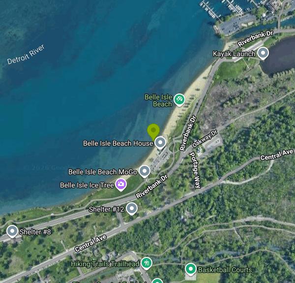 The Detroit River shoreline along the northeast end of Belle Isle courtesy of TracieMichelle↗ (CC BY-SA 4.0↗)
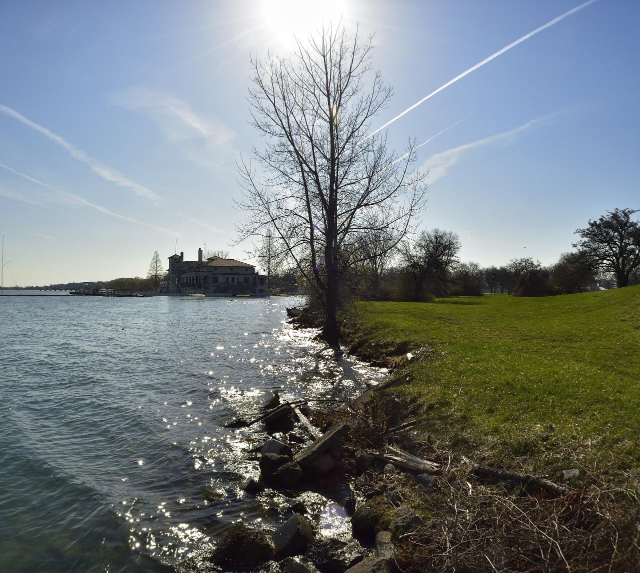
 The Belle Isle bathing beach and its bath house in the 1930s courtesy of Tichnor Brothers, Publisher↗ (Public domain↗)
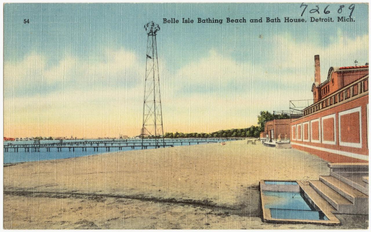
 A second period view of the bathing beach looking along the sand courtesy of Tichnor Brothers, Publisher↗ (Public domain↗)
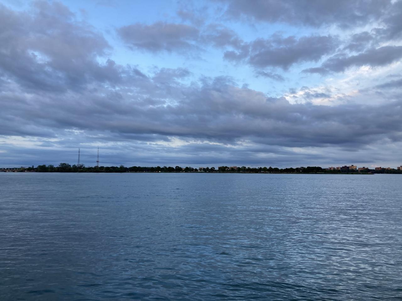
 Belle Isle seen across the Detroit River from the Detroit side courtesy of Michael Barera↗ (CC BY-SA 4.0↗)
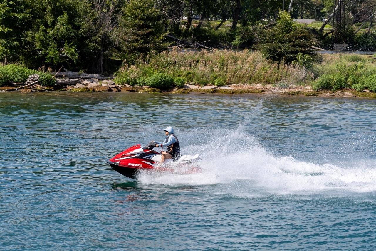
 Powered traffic on the Detroit River off Belle Isle courtesy of Chris Woodrich↗ (CC BY-SA 4.0↗)
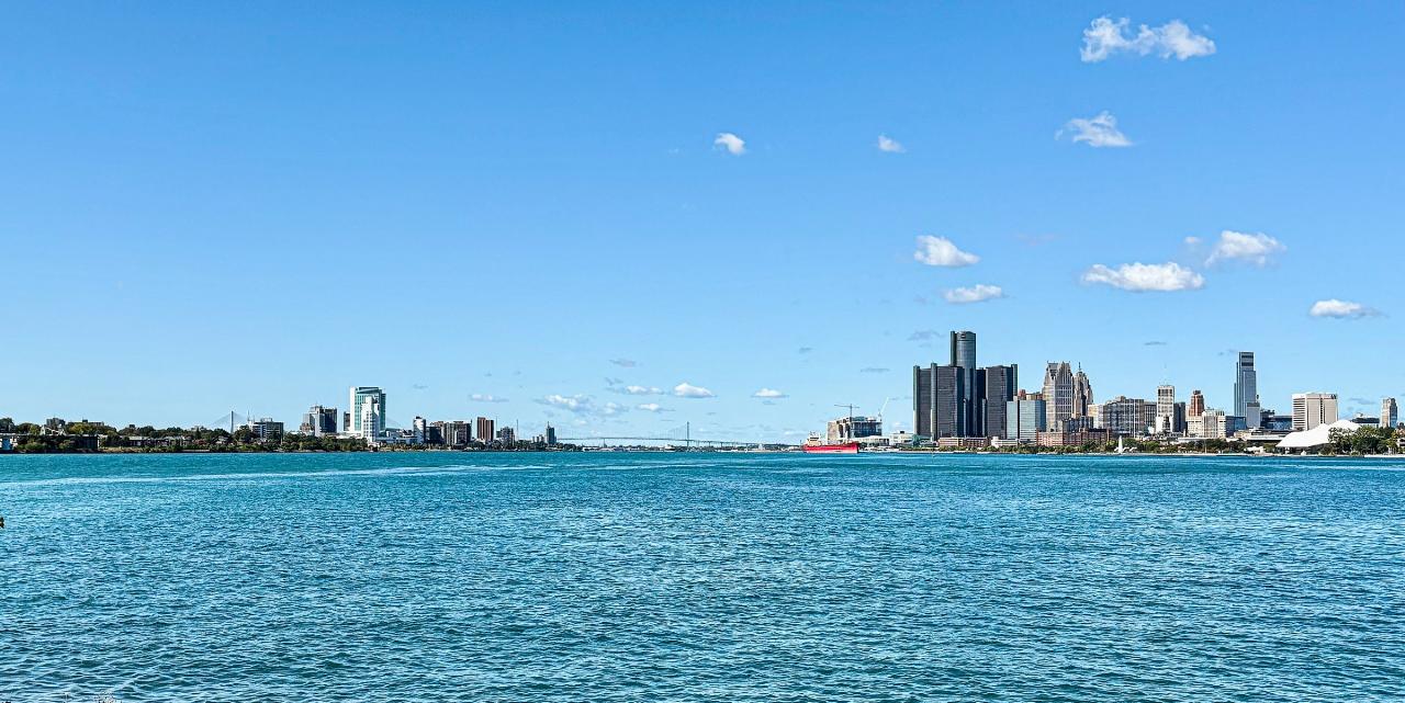
 The Detroit and Windsor skylines seen from the island courtesy of TheWxResearcher↗ (CC0↗)
Other Swimming Holes, Hiking Trails, Canoeing Areas, and Kayaking Areas Nearby

Baypoint Beach
Rochester
27.1 miles NUnguarded sand swimming beach on the west shore of Stony Creek Lake in Stony Creek Metropark, a quieter alternative to Eastwood Beach. Open May 1 to October 1, 8 a.m. to 8 p.m., with a $10 daily vehicle pass.
Canoe, Hike, Kayak, Swim
Palmer Park
Saint Clair, Michigan
41.6 miles NESwim near Saint Clair, Michigan
Swim
Maumee Bay State Park Beach
Oregon
49.9 miles SWTwo free sand beaches in one Ohio state park east of Toledo: an open Lake Erie shore on Maumee Bay, and a sheltered 57-acre inland lake a short walk behind it, with marsh boardwalk and 300-plus bird species beyond.
Camp, Canoe, Hike, Kayak, Swim


