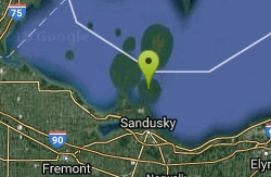
Maumee Bay State Park Beach
Oregon
Camp, Canoe, Hike, Kayak, and Swim
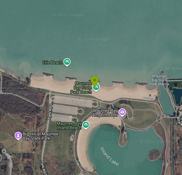
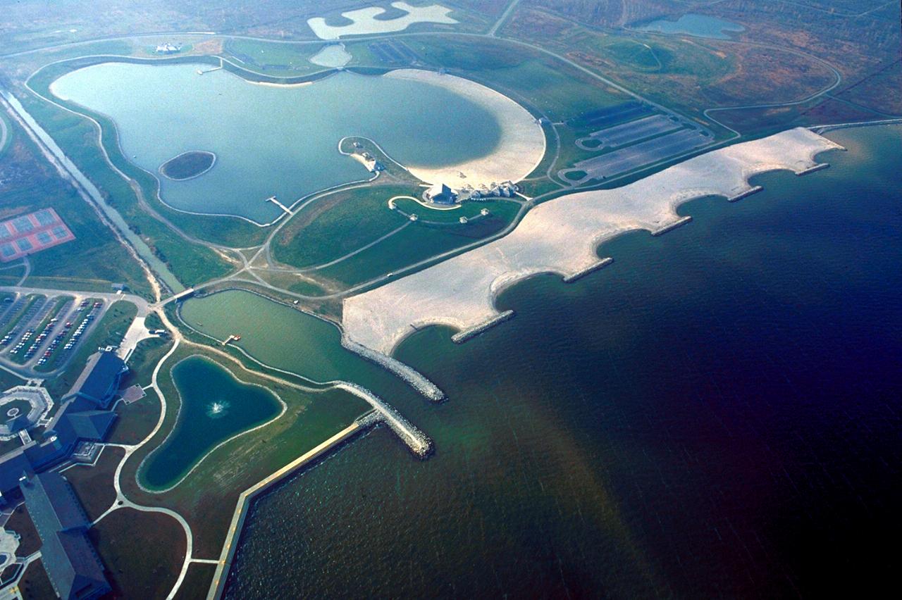
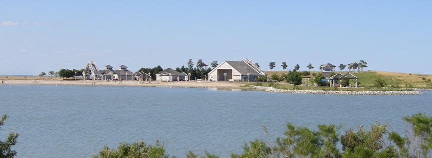
Maumee Bay State Park spreads across 1,336 acres of Lake Erie shoreline in Jerusalem Township, about five miles east of Toledo, and it is one of the few places in Ohio where you can pick between two completely different swims in the same afternoon. The park keeps two sand beaches. One faces open Lake Erie along the bay itself. The other sits on a 57-acre man-made inland lake a few hundred yards back from the shore, sheltered from wind and wave. A single day-use complex with restrooms, changing areas and outdoor showers sits between them, so trading one for the other costs you a short walk across the grass.
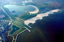
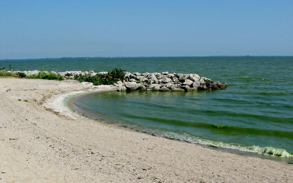
The Lake Erie beach is the marquee. Water in the western basin is shallow, so it warms early in the season and holds that warmth well into September, and on a still morning the bay lies almost flat. Wind out of the northwest changes that within an hour and pushes real chop onto the sand. The shoreline here is engineered rather than natural: before the park opened in 1981 the state worked with the U.S. Army Corps of Engineers to armor roughly 3,500 feet of shore with headland breakwaters and a revetment wall that hold the beach in place. Look north from waist-deep water and you can pick out the Toledo Harbor Lighthouse standing offshore, with freighters working the shipping channel behind it.
The inland lake beach is the better call with small children, on a windy day, or when Lake Erie is posted. Water quality in the western basin swings hard with the season, and the Ohio Department of Health samples this beach through BeachGuard from Memorial Day to Labor Day. Harmful algal blooms are a genuine summer possibility on this stretch of Lake Erie, so checking the current advisory before you drive out is worth the minute it takes. Swimming is allowed only inside the marked designated areas at both beaches, and dogs are not permitted on either one.
There is no fee. Ohio charges no entrance fee and no parking fee at any of its state parks, and the beaches are open year-round. Camping, cabins, golf and lodge rooms are the paid exceptions.
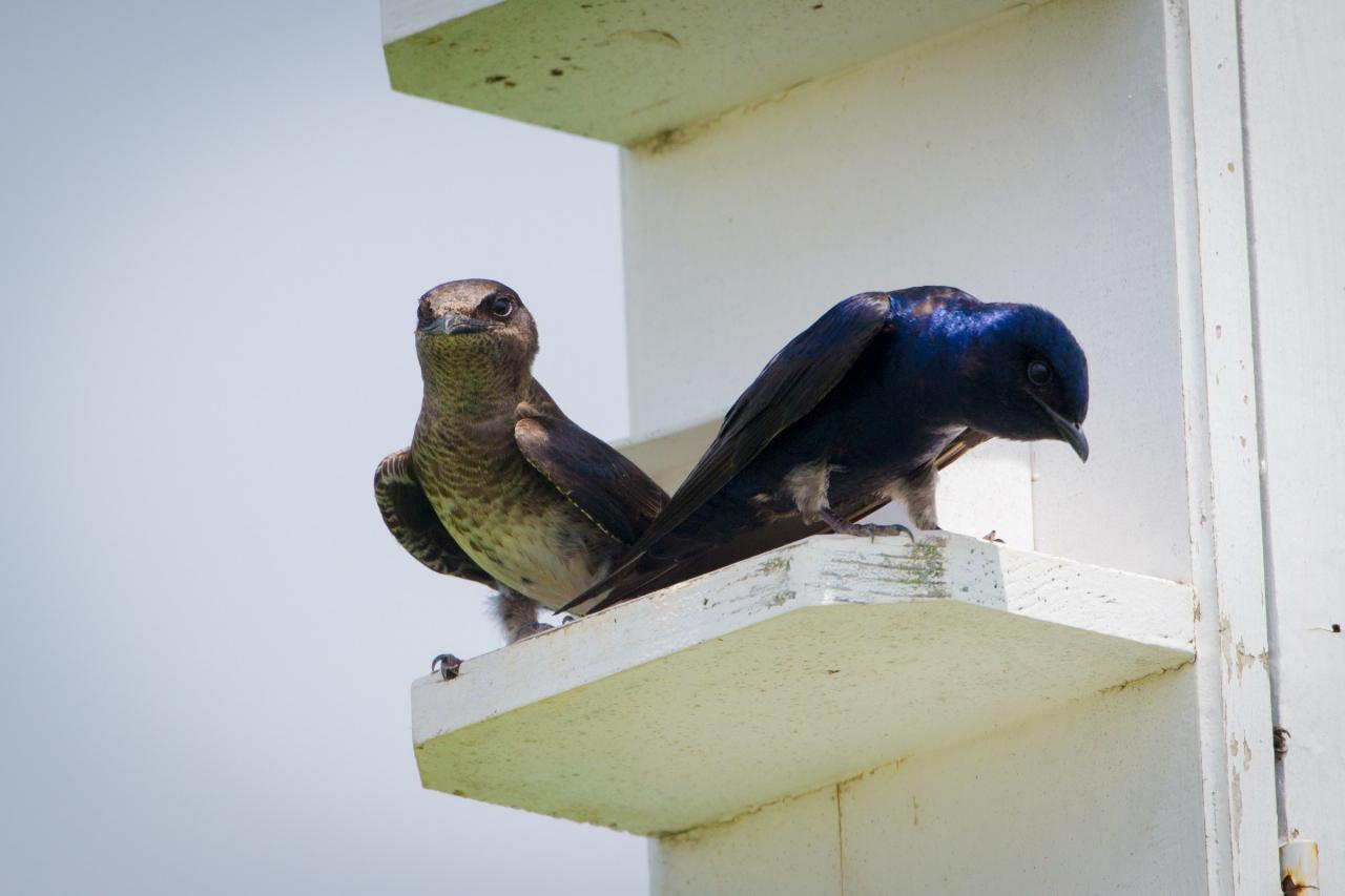
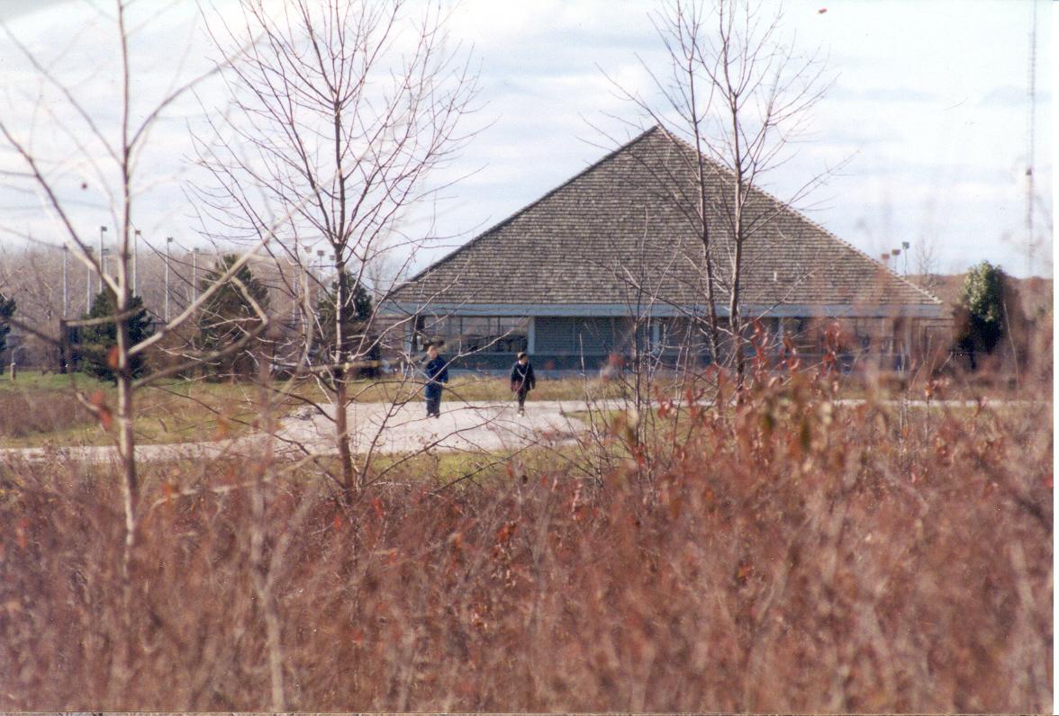
Behind the sand, the park is marsh. This ground was part of the Great Black Swamp, drained for farmland through the 1800s and partly restored since, and more than 300 bird species have been recorded on it, including nesting bald eagles along the shore. A two-mile accessible interpretive boardwalk runs out through cattail marsh and wet meadow from the Trautman Nature Center, ending at the Bird's Nest Observation Tower added in 2025. Five miles of paved path tie the beaches to the campground, the lodge and the City of Oregon bike trail. The inland lake takes canoes, kayaks and small sailboats under a no-motors rule, and two wheelchair-accessible fishing piers sit on its edge.
More Information
Be courteous, informed, and prepared. Read trailhead guidelines, stay on the trail, and don't feed the wildlife.
Read More
- Plan Ahead and Prepare
- Travel & camp on durable surfaces
- Dispose of waste properly
- Leave what you find
- Minimize campfire impacts
- Respect wildlife
- Be considerate of other visitors
Directions
From Oregon
- Head east on US-20 E toward Frederick Butte RdPass by Dairy Queen Grill & Chill (on the left in 85.1 mi)(86.1 mi)
- Turn left onto US-20 E/
US-395 N/ N Broadway Ave (signs for John Day Vale/ Ontario) Continue to follow US-20 EPass by NAPA Auto Parts - Dyna Parts LLC (on the right in 113 mi)(125 mi) - At the traffic circle, take the 2nd exit onto OR-201 N/
State Hwy 201 (4.8 mi) - Turn right to merge onto I-84 E/
US-30 E toward Boise Continue to follow I-84 EEntering Idaho(225 mi) - Keep right to stay on I-84 E, follow signs for Ogden/
Salt Lake Entering Utah(135 mi) - Take exit 340 for I-84 E toward I-80 E/
Cheyenne (1.0 mi) - Continue onto I-84 E (38.0 mi)
- Take exit 120A on the left to merge onto I-80 E toward CheyennePassing through WyomingEntering Nebraska(507 mi)
- Take exit 76 toward NE-17F Link/
Lodgepole (0.6 mi) - Merge onto I-80 E (368 mi)
- Keep left to stay on I-80 EEntering Iowa(146 mi)
- Keep left to stay on I-80 E (152 mi)
- Take exit 290 for I-280 E/
US-6 E/ US-61 S toward Rock Island/ Moline (0.6 mi) - Continue onto I-280 E/
US-6 E/ US-61 N Continue to follow I-280 EEntering Illinois(26.7 mi) - Continue onto I-80 E (115 mi)
- Keep left (0.8 mi)
- Keep left (0.1 mi)
- Continue straight (5.5 mi)
- Merge onto I-80 EToll road(23.4 mi)
- Keep left to stay on I-80 EToll roadEntering Indiana(23.7 mi)
- Take exit 16 to merge onto I-80 E/
I-90 E Toll roadEntering Ohio(201 mi) - Take exit 64 to merge onto I-75 N toward Toledo (4.6 mi)
- Take exit 199 for SR-65/
Miami St (0.3 mi) - Turn right onto Miami St (0.9 mi)
- Continue straight to stay on Miami St (1.1 mi)
- Continue onto 1st St (0.2 mi)
- Turn left onto Oak St (427 ft)
- Continue onto Front StPass by McDonald's (on the left)(3.1 mi)
- At the traffic circle, take the 1st exit onto Millard Ave (0.3 mi)
- At the traffic circle, take the 2nd exit and stay on Millard Ave (0.5 mi)
- Turn left onto Otter Creek Rd (0.2 mi)
- Turn right onto Cedar Point Rd (4.0 mi)
- Turn left onto Norden Rd (0.1 mi)
- Turn right onto Park Rd 11 (499 ft)
- Continue onto Park Rd 10 (0.5 mi)
- Turn left onto Park Rd 1 (0.3 mi)
- Turn rightDestination will be on the right(0.2 mi)
 Aerial view of Maumee Bay State Park on the Lake Erie shore, showing the engineered headland breakwa courtesy of Ken Winters, U.S. Army Corps of Engineers↗ (Public domain↗)
 The sand beach at Maumee Bay State Park on Lake Erie, near Toledo. courtesy of katiebordner↗ (CC BY 2.0↗)
 The park's second beach, on the sheltered 57-acre inland lake a short walk back from the Lake Erie s courtesy of Mike Sharp - User: (WT-shared) 2old at wts wikivoyage↗ (CC BY-SA 4.0↗)
 The Trautman Nature Center, which sits at the trailhead of the park's two-mile interpretive boardwal courtesy of Chris Light↗ (CC BY-SA 4.0↗)
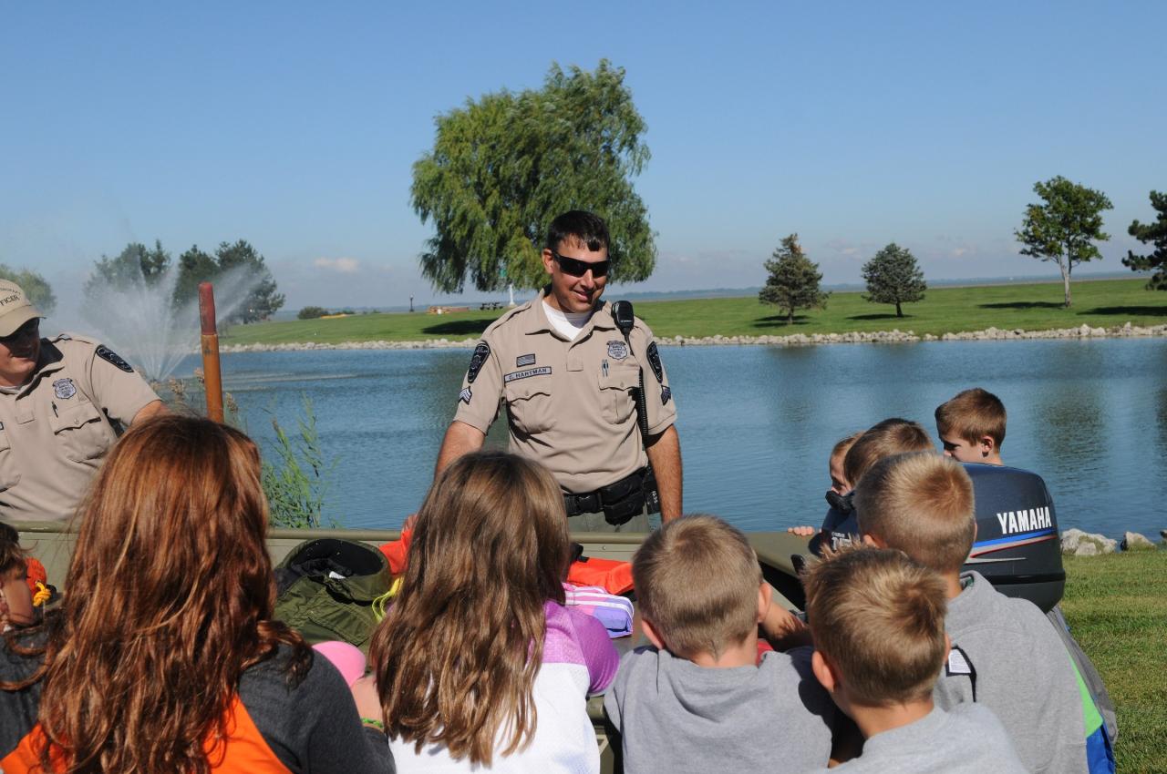
 A school group at Maumee Bay with the Ohio DNR Division of Wildlife. courtesy of USFWSmidwest↗ (Public domain↗)
 Purple martins at Maumee Bay State Park, one of more than 300 bird species recorded in the park's ma courtesy of Andrew C↗ (CC BY 2.0↗)