


Blue Hole Falls
Tracy City
Hike and Swim
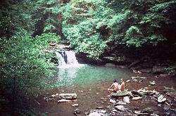
Blue Hole Falls is a small waterfall and plunge pool on Little Fiery Gizzard Creek inside Grundy Forest State Natural Area, the northern end of Fiery Gizzard State Park just outside Tracy City, Tennessee. Tennessee State Parks runs the park, which until 2025 was part of South Cumberland State Park and took the name of its best-known trail that year. The natural area itself covers 234 acres that Tracy City donated in 1935 for a Civilian Conservation Corps camp, and it sits on the forested edge of the Cumberland Plateau where the creek begins cutting down into the Fiery Gizzard gorge.
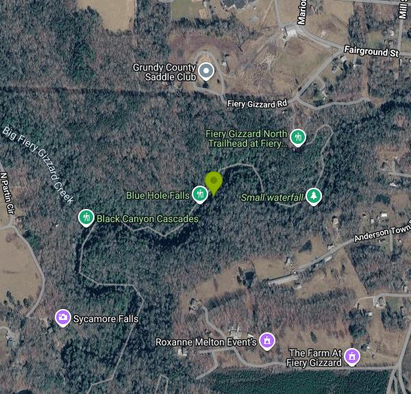
Start at the Fiery Gizzard North Trailhead, 131 Fiery Gizzard Road in Tracy City, which is reached by driving past Tracy City Elementary School. The lot has an overflow area, EV chargers, and the Grundy Forest Pavilion, a rebuilt CCC shelter with restrooms, water and a grill. From there, the Grundy Forest Day Loop is a 2-mile round trip that the park rates moderate. Blue Hole Falls comes up about 0.6 mile in, near the School Branch footbridge, and a short wooden staircase drops to the front of the falls and the pool. Plan on roots, rocks and a few steep, slick spots, and note that mountain bikes are not allowed on the loop.
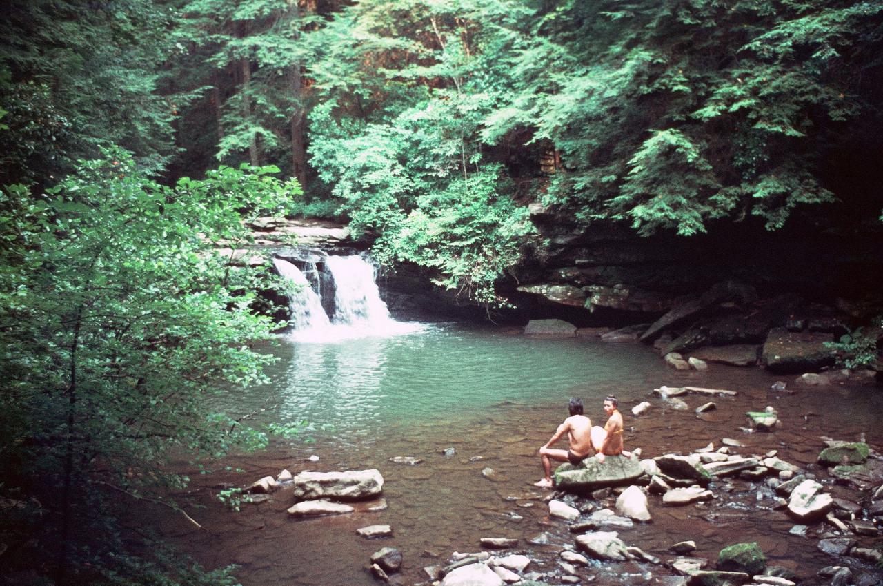
The falls are short, about 9 or 10 feet depending on the source, and pour into a round, clear pool that turns blue-green in good light. The hole is roughly 7 feet deep at its deepest, with a rocky, uneven bottom that shallows quickly toward the edges, so most visitors wade or swim gently rather than dive. Tennessee State Parks lists Blue Hole Falls among the waterfalls in the park where swimming is allowed, but it asks people not to jump from any falls because the water beneath them is shallower than it looks and often hides rocks and fallen trees. This is an unsupervised creek pool, and the water stays cold well into summer under the shade of the hemlocks and hardwoods.
There is no entry or parking fee listed by the park. The park is open from 8 a.m. until 30 minutes before sunset, and the park office keeps hours of 8 a.m. to 4:30 p.m. (phone 931-924-2980). The main visitor center is at 11745 US 41 in Monteagle. Flow on Little Fiery Gizzard Creek depends heavily on rain, so the falls can shrink to a trickle in late summer and fall. As of this writing the park has posted a weather alert that water sources are unavailable at the Little Cove and Small Wilds campgrounds, a sign of dry conditions, so bring your own drinking water. After heavy rain the creek rises fast and the pool becomes a poor place to swim.
Blue Hole is one of several stops on a short stretch of creek. Just downstream, across a metal bridge, Black Canyon Cascades slides through a narrow slot about 5 feet wide and 30 feet deep, which is not a swimming spot. Hanes Hole Falls is another small falls and pool that people wade, and Sycamore Falls, about 12 feet tall, waits farther along the loop. The CCC built a pump house above the Blue Hole, and the Cave Springs Rock House nearby shelters a hemlock estimated at 500 years old. Hikers who want a longer day can keep going on the Fiery Gizzard Trail, which runs 12.5 miles to Foster Falls, with backcountry campsites along the way.
More Information
Fiery Gizzard Trail - Wikipedia
The Fiery Gizzard Trail runs from Tracy City, Tennessee to Foster Falls in Marion County, Tennessee. It is renowned for its beauty and diversity, cited by Backpacker magazine as one of the top 25 hiking trails in the United States. The 12.5-mile (20.1 km) trail offers scenic views, waterfalls, rock formations, and hemlock trees over 200 years old.[2][3][4]
https://en.wikipedia.org/wiki/Fiery_Gizzard_TrailGrundy Forest Day Loop Hiking Trail, Tracy City, Tennessee
A rocky trail with cascading streams and multiple waterfalls. Near Tracy City, Tennessee.
https://www.hikingproject.com/trail/7017120/grundy-forest-day-loopGrundy Forest State Natural Area
Grundy Forest is a 234-acre natural area located in Grundy County, Tennessee. In 1935, it was donated to the State by the town of Tracy City to accommodate a Civilian Conservation Corps (CCC) camp. The CCC built the picnic shelter here in the 1930s. The State originally managed the site as Grundy State Forest. The management responsibility was transferred from the Division of Forestry to the Division of Parks and Recreation in 1978. It eventually became part of the South Cumberland Recreation Area. The natural area serves as the northern trailhead of the Fiery Gizzard Trail that connects with the TVA Foster Falls Small Wild Area at the southern trailhead 12 miles away.
https://www.tn.gov/environment/natural-areas/what-we-do/sna/cu/grundy-forest.htmlGrundy Forest: Take In Blue Hole Falls and Black Canyon Cascades at North End of Fiery Gizzard - The
Murfreesboro, TN art, entertainment and culture magazine, with music, dining, theater, events, news and more, focusing on the people, places and businesses of Middle Tennessee.
https://boropulse.com/2025/03/grundy-forest-take-in-blue-hole-falls-and-black-canyon-cascades-at-north-end-of-fiery-gizzard/South Cumberland State Park: Fiery Gizzard Trail (Grundy Forest to Raven Point), Dog Hole Trail, and
Mark Oleg Ozboyd I'm an avid outdoor explorer and a hobbyist landscape photographer. I'm 21 years old and have been hiking since 2011. Originally based out of Atlanta, Georgia, I started out by...
https://www.hikingtheappalachians.com/trail-reports/south-cumberland-state-park-fiery-gizzard-trail-grundy-forest-to-raven-point-dog-hole-trail-and-grundy-forest-day-loop-tracy-city-tennesseeBe courteous, informed, and prepared. Read trailhead guidelines, stay on the trail, and don't feed the wildlife.
Read More
- Plan Ahead and Prepare
- Travel & camp on durable surfaces
- Dispose of waste properly
- Leave what you find
- Minimize campfire impacts
- Respect wildlife
- Be considerate of other visitors
Directions
From Tracy City
- Head west on Railroad Ave toward Depot St (0.4 mi)
- Continue onto 2nd St (0.2 mi)
- Turn right onto Fairground St (0.2 mi)
- Slight left onto Fiery Gizzard Rd (0.3 mi)


Other Swimming Holes and Hiking Trails Nearby
Grundy Forest Area
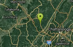
Tracy City, Tennessee
6.3 miles SESwim near Tracy City, Tennessee
Swim
Savage Gulf Area
Beersheba Springs, Tennessee
12.9 miles NSwim near Beersheba Springs, Tennessee
Swim
Smoky Mountain Central Area
Beersheba Springs, Tennessee
15.7 miles NESwim near Beersheba Springs, Tennessee
Swim
Smoky Mountain South Area
Beersheba Springs, Tennessee
15.7 miles NESwim near Beersheba Springs, Tennessee
Swim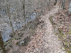
Old Stone Fort State Archaeological Park
Manchester, Tennessee
25.9 miles NWA hike along 2,000-year-old earthen mounds, past waterfall-lined river forks, and through ruins of Civil War-era mills — with a free museum on-site explaining the site's history.
Camp, Hike
Walls Of Jericho
Estillfork, Alabama
26.9 miles SWA massive 200-foot limestone waterfall in a wild Southern Cumberland Plateau amphitheater preserved by the Nature Conservancy — a strenuous 3.5-mile each-way hike to a clear green pool that may be deep enough to swim at higher water levels.
Swim
Chickamauga Creek
Soddy-Daisy, Tennessee
29.1 miles EMultiple swimming holes along a state natural area trail near Soddy-Daisy — including the local favorite 'Blue Hole' with cliffs, a rope swing, and 12-to-14-foot depths. The area closes at 7 p.m. and sees litter; pack a bag and carry some out.
Swim
Fall Creek Falls State Park
Pikeville, Tennessee
36.5 miles NESwim near Pikeville, Tennessee
Swim
Rock Island State Park
Rock Island, Tennessee
39.4 miles NSwim near Rock Island, Tennessee
Swim
Blue Hole Pigeon
LaFayette, Georgia
44.1 miles SEA small, deep blue-green spring-fed pool — possibly a cave entrance — with divided pools, primitive camping nearby, and spelunking in the area; a Georgia Outdoor Recreational Pass is required.
Swim
Richland Creek
Dayton, Tennessee
45.2 miles NESwim near Dayton, Tennessee
Swim
Goochie Ford
Readyville, Tennessee
47.4 miles NWSwim near Readyville, Tennessee
Swim
Stones River Rentals
Christiana, Tennessee
47.7 miles NWSwim near Christiana, Tennessee
Swim
Carmac Falls
Smithville, Tennessee
48.0 miles NCLOSED. This is on private property and is only accessible to guests of Evins Mill. See details below.
Swim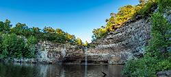
Desoto Falls
Mentone, Alabama
49.3 miles SAlabama's tallest waterfall, a 104-foot cascade with its own small canyon inside Desoto State Park — rich in Native American history and Spanish explorer legends, with upper and lower viewing areas.
Hike, Swim
Farmers Lake
Cohutta, Georgia
49.4 miles SESwim near Cohutta, Georgia
Swim


