


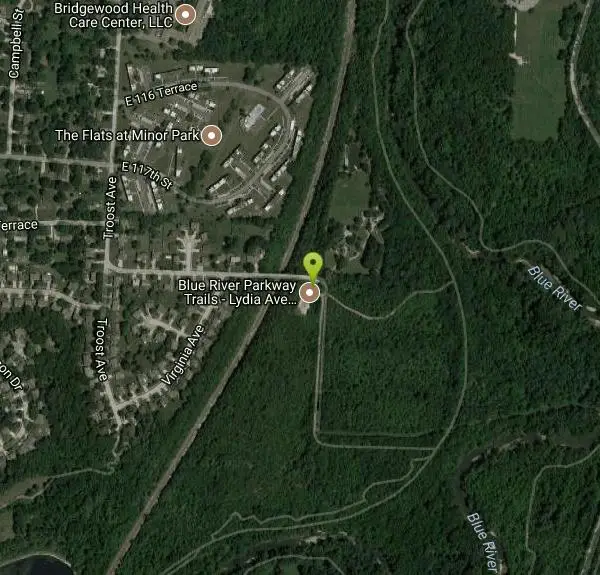
Blue River Parkway
Kansas City, Missouri
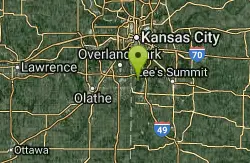
| Address: | 80th St. & Blue River Rd. |
| GPS: |
38°54'45.2"N 94°34'30.9"W Maps | Directions |
| State: | Missouri |
Hike, Horseback, and Mountain Bike
Bordering Big Blue River from Swope Park south to the southern end of the county, this multi-faceted 2,400 acres parkland has many amenities including several miles of multi-use trails popular for mountain biking. Radio-controlled model airplane fields, balloon ports, softball fields, fishing ponds, hiking trails, horse riding area, picnic area, polo fields, soccer fields and shelter houses.
Never modify trail features. Ride trails when they're dry enough that you won't leave ruts. Speak up when you see others on the trail and always yield to hikers, horses, and others coming uphill. Always ride on the established trail.
Read MoreBe courteous, informed, and prepared. Read trailhead guidelines, stay on the trail, and don't feed the wildlife.
Read More- Plan Ahead and Prepare
- Travel & camp on durable surfaces
- Dispose of waste properly
- Leave what you find
- Minimize campfire impacts
- Respect wildlife
- Be considerate of other visitors
Directions
From Kansas City, Missouri
- Head south on Oak St toward E 13th St (0.3 mi)
- Turn left onto Truman Rd (0.3 mi)
- Turn right onto Campbell St (52 ft)
- Take the ramp on the left onto US-71 S (5.8 mi)
- Keep left to stay on US-71 S (1.4 mi)
- Keep left to stay on US-71 S (3.3 mi)
- Continue onto I-49/US-71 S (0.4 mi)
- Take exit 183 for I-435 W/US-50 W toward Wichita (0.6 mi)
- Merge onto I-435 W (1.8 mi)
- Take exit 74 for Holmes Rd (0.2 mi)
- Turn left onto Holmes Rd (1.9 mi)
- Turn left onto E 117 Terrace/E 117th Terrace (0.3 mi)
- Turn right onto Troost Ave (230 ft)
- Turn left onto E 118th StDestination will be on the right(0.2 mi)
4.5 miles one way Kenneth Road to Red Bridge Road.
Other Mountain Bike Trails, Hiking Trails, and Horseback Trails Nearby
Blue River Parkway Trails
Kansas City, Missouri
0.3 miles NVery nice well groomed trail. Everything from beginner to very technical and advanced. If you like easy going stay closer to the river, but if you want more advanced stuff take the...
Mountain Bike
Longview Lake
Grandview, Missouri
4.8 miles SEVery easy path that meanders around the west side of Longview Lake. There are a few decent little hills, but nothing too terrible. The path is all asphalt and is kept up, though there...
Mountain Bike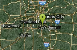
Swope Park Trail
Kansas City, Missouri
6.1 miles NEExquisitely built trail covering rocky and rooty sections along the hillside of Swope Park. The recently completed Phase 5 adds a series of progressive trail features including drops,...
Mountain Bike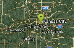
Rozarks
Kansas City, Missouri
10.3 miles NUrban core natural surface trails for hiking, running, and riding now total over 5 miles in what is called the Rozarks. Currently spread over 3 parks between 39th Street West and...
Mountain Bike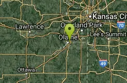
Mill Creek Streamway Park
Olathe, Kansas
12.3 miles WThe Mill Creek Streamway Park has over 17 miles of pedestrian and bicycle trails and four miles of horseback riding trails available for public use. In all, the trail extends from...
Mountain Bike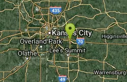
Little Blue Trace
Independence, Missouri
14.2 miles NEVery easy and mostly flat crushed rock trail. Lots of middle of nowhere riding for the most part. Only one big hill at the northernmost end, but it will still make ya sweat a bunch....
Mountain Bike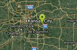
Bethany Falls Trail - Burr Oak Woods
Blue Springs, Missouri
17.5 miles NEThe Bethany Falls Trail at Burr Oak Woods is a 1.33 mile loop that meanders through second growth timber, a limestone glade, a wet weather creek, a corner of restored prairie and through a series of...
Hike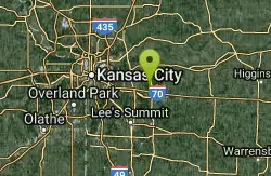
Burr Oak Woods Discovery Trail
Blue Springs, Missouri
18.0 miles NEBurr Oak Woods Conservation Area is in Jackson County, 20 miles east of downtown Kansas City. The area is composed of 1,071 acres of woodlands, fields and ponds and includes a scenic portion of...
Hike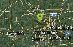
Wyandotte County Lake - WyCo
Kansas City, Kansas
20.2 miles NWTrail is well maintained single track that is flowing and fast with reasonable climbs. Only a 3 or 4 moderate technical areas. From the parking area at shelter 9, you can enter and go...
Mountain Bike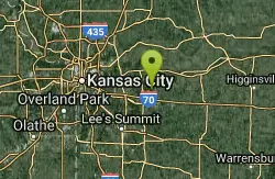
Landahl Park Reserve
Buckner, Missouri
21.3 miles NEThis park has everything. It is rated for everyone from beginner to expert, which is why I marked everything as a 5 since anything can apply. Most of it is singletrack, but there is a...
Mountain Bike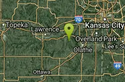
Kill Creek
Olathe, Kansas
21.5 miles WThe Connector Trail (rating 2): From the shelter #1 parking lot go north on the paved path Just past the first turn on the right side of the trail is the entrance to the trail that...
Mountain Bike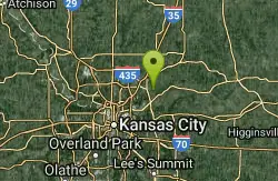
Ruth Stockdale/walnut Woods
Liberty, Missouri
24.3 miles NEGood network of single track trails in the Ruth Stocksdale park in Liberty Mo. There is even a skill structure set up in the beginner loop.
Mountain Bike
Hodge Park Trails
Kansas City, Missouri
24.3 miles N4 miles and 2 loops complete, in a figure 8, with a connector to existing double track completed. Going CCW the trail takes 3 passes parallel to the stream, moving up the hill each...
Mountain Bike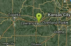
Lawrence Riverfront Trails
Lawrence, Kansas
34.6 miles WThe Lawrence Riverfront Park Trail is a ten-mile system of recreational bike paths on the top of the levees along the river. the bike paths provide easy, non-technical riding for casual...
Mountain Bike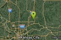
Watkins Woolen Mill State Park
Kearney, Missouri
37.8 miles NEA 100-acre lake with a paved bicycle path around it, plentiful fishing, a picturesque campground and choice picnic spots make Watkins Mill State Park an ideal place for an afternoon or longer....
Camp, Hike, Horseback, Swim
Clinton State Park
Lawrence, Kansas
41.2 miles Wup and down, in and out roots, erosion, there is an old rusted out car to find. serious climbs and rocky drops. take a lunch and explore. You will need a 32 rear cog in spots. Also...
Mountain Bike
North Shore Trail - Clinton Lake
Lawrence, Kansas
41.2 miles WThe North Shore Trail has over 21 miles of hiking and mountain biking trails which begin in the Overlook Park and much of the north shore of the lake from the north end of the dam to the Coon Creek...
Hike, Mountain Bike


