Braille Trail / Beaver Brook Trail
Golden, Colorado
Hike
Beaver Brook Trail is actually a small system of trails that sit very close to the front range of the Denver Metro area. A few small loops can be done, but for the most part most people will do this as either a 5 mile loop hike with involving the Chavez trail to Beaver Brook/Nature trail, through hike or an out-and-back. Distances range from 4 miles up to 20+ as out an out-and-back, and you can change your experience wildly from easy to very difficult.
More Information
Add ResourceBe courteous, informed, and prepared. Read trailhead guidelines, stay on the trail, and don't feed the wildlife.
Read More
- Plan Ahead and Prepare
- Travel & camp on durable surfaces
- Dispose of waste properly
- Leave what you find
- Minimize campfire impacts
- Respect wildlife
- Be considerate of other visitors
Directions
From Golden, Colorado
- Head southwest on 12th St toward Washington Ave (82 ft)
- Turn left at the 1st cross street onto Washington Ave (0.5 mi)
- Turn right onto 19th St (0.5 mi)
- Turn left onto US-6 E (1.9 mi)
- Keep right, follow signs for CO-470 E/Colorado Springs/I-70 W (0.4 mi)
- Continue onto CO-470 E (0.2 mi)
- Take the exit onto I-70 W toward Grand Jct (7.6 mi)
- Take exit 253 toward Chief Hosa (0.2 mi)
- Turn right onto Moss Rock Rd (102 ft)
- Turn right onto Stapleton RdDestination will be on the right(1.1 mi)
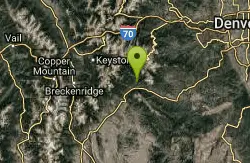
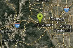
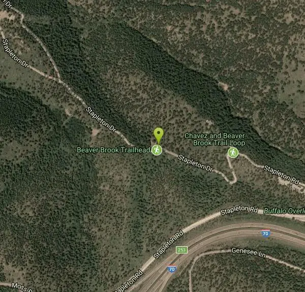
The west trail head, aka Stapleton Drive Signage. TH signageis located west of Denver by about 15 miles. Take I-70 west to Exit 253. Stop at Stop Signs. Turn right almost 180 degrees so you are again heading eastbound. Follow this road (Stapleton Drive) as it continues east, then turns northwest downhill past a few private homes.
Other Hiking Trails Nearby
Clear Creek Whitewater Park
Golden, Colorado
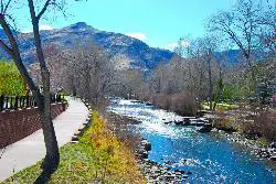
5.4 miles NEA quarter-mile whitewater stretch in Golden with six drop structures and seven city blocks of clear-water action — beginner training facilities and national competition events.
Canoe, Hike, Kayak, Mountain Bike, Swim, Whitewater
Mallory Cave
Boulder, Colorado
17.8 miles NA hike from the NCAR parking lot to the Mesa Trail and a final 100-foot rock climb into a cave — skip if there's ice or snow on the approach, and follow the signs carefully.
Cave, Hike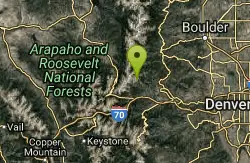
Saint Mary's Glacier
Idaho Springs, Colorado
19.4 miles NWA semi-permanent snowfield in Arapaho National Forest, just 2.5 miles from James Peak — a unique alpine destination in the Colorado Rockies.
Hike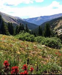
Herman Gulch
Silver Plume, Colorado
28.7 miles WA dog-friendly 6-mile roundtrip off I-70 that follows a river through spectacular wildflowers in early July and ends at a small alpine lake with mountain views the entire way.
Backpack, Hike