


Brush Creek Falls
Athens, West Virginia
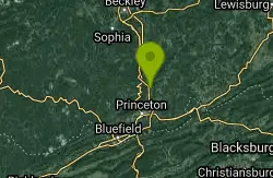
| Address: | Brush Creek Falls, Athens, WV 24712, USA |
| GPS: |
37°28'0.3"N 81°3'36.0"W Maps | Directions |
| State: | West Virginia |
State Park
Swim
Brush Creek Falls is a beautiful waterfall in Brush Creek Nature Preserve. This is a popular location for photographers and nature lovers, as the waterfall makes a perfect backdrop for a gorgeous long-exposure photo. The large trees surrounding the waterfall provide shade, and block out all the noise from the outside world. The hike to the waterfall itself is very short, not even a full mile, making this a great place for you if you are looking to get a small amount of exercise or take your small children on a nice nature walk. Brush Creek is open all year long but the waterfall is at its most powerful after rainstorms due to larger amounts of water. You can play in the water that the falls drains into, however the water isn't deep enough to do any real swimming.
Unfortunately the downside of this spot, is that it is also a popular party spot and can be littered with trash (mostly beer cans).
Many other falls surround Brush Creek. Mash Fork Falls, Campbell Falls, and others are all near here, and most have short hikes as well.
More Information
Brush Creek Falls
Brush Creek Falls is located in the Brush Creek Nature Preserve, an 124 acre area by the confluence of Brush Creek and the Bluestone River.
https://gowaterfalling.com/waterfalls/brushcreek.shtmlBrush Creek Preserve and Falls
Open year-round, this preserve is near Brush Creek Falls, a popular spot for photographers and nature lovers. From the Athens Exit (#14) of I-77 turn east on County Route 7 (Mercer Springs Road). In .1 mile turn left on County Route 14 (Ead’s Mill Road). Go 3.3 miles and turn right on County Route 3 (Brush Creek Falls Road). At .3 mile cross the bridge and park at the shelter. Walk the trail down the east side of the creek for .25 mile to reach the falls and Nature Conservancy Preserve.
https://wvtourism.com/company/brush-creek-preserve-falls/
- Plan Ahead and Prepare
- Travel & camp on durable surfaces
- Dispose of waste properly
- Leave what you find
- Minimize campfire impacts
- Respect wildlife
- Be considerate of other visitors
Directions
From Athens, West Virginia
- Head east toward Vermillion St (476 ft)
- Turn left onto Vermillion St (197 ft)
- Turn right onto WV-20 N/
N State St Continue to follow WV-20 N(2.7 mi) - Turn left onto Brush Creek Falls Rd (3.7 mi)
From the Athens Exit (#14) of I-77 turn east on County Route 7 (Mercer Springs Road). In .1 mile turn left on County Route 14 (Ead’s Mill Road). Go 3.3 miles and turn right on County Route 3 (Brush Creek Falls Road). At .3 mile cross the bridge and park at the shelter. Walk the trail down the east side of the creek for .25 mile to reach the falls and Nature Conservancy Preserve.Courtesy of wvtourism.com

Other Swimming Holes Nearby
Camp Creek Area
Cabins, West Virginia
0.2 miles SWSwim near Cabins, West Virginia
Swim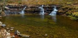
Campbell Falls
Camp Creek, West Virginia
4.9 miles NWA 15-foot-tall, 40-foot-wide waterfall in Camp Creek State Park, most powerful after rain and most beautiful in spring — large flat rocks make a perfect perch to watch the cascade.
Camp, Hike, Mountain Bike, Swim
Narrows Town Park
Narrows, Virginia
14.8 miles SESwim near Narrows, Virginia
Swim
Falls Of Dismal
Pearisburg, Virginia
21.1 miles SEA waterfall area in the National Forest near Pearisburg with deep swimming under the upper falls and flat sunbathing rocks — secluded and private thanks to forest growth, though locals have left broken glass, so skip the bare feet.
Swim
Sandstone Falls
Shady Spring, West Virginia
21.9 miles NESwim near Shady Spring, West Virginia
Swim
Glade Creek Area
Masontown, West Virginia
24.8 miles NA 6-mile-plus gorge hiking trail alongside beautiful Glade Creek with many swimming holes, accessible from both ends, and a small free campground at the lower end near the New River.
Swim
Cascade Falls
Pembroke, Virginia
27.4 miles ESwim near Pembroke, Virginia
Swim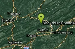
Blacksburg Hole
Newport, Virginia
29.0 miles SEBlacksburg Hole is a beloved local swimming spot on the ancient New River in southwestern Virginia, popular with locals and Virginia Tech students.
Swim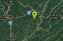
Anvil Rock
Alderson, West Virginia
31.1 miles NESwim near Alderson, West Virginia
Swim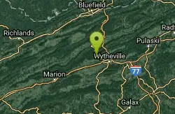
Dark Horse Hollow
Wytheville, Virginia
34.3 miles SA secluded sandy beach and easy loop trail in Jefferson National Forest make this a quiet picnic stop — the swimming area is reportedly closed, so wade and sunbathe only.
Swim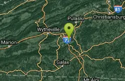
Goshen Pass Area
Max Meadows, Virginia
41.6 miles SSwim near Max Meadows, Virginia
Swim
Foster Falls
Max Meadows, Virginia
41.6 miles SSwim near Max Meadows, Virginia
Swim
Meadow River East Area
Valley Head, West Virginia
47.1 miles NSwim near Valley Head, West Virginia
SwimNearby Campsites
Campbell Falls
Camp Creek, West Virginia
4.9 miles NWA 15-foot-tall, 40-foot-wide waterfall in Camp Creek State Park, most powerful after rain and most beautiful in spring — large flat rocks make a perfect perch to watch the cascade.
Camp, Hike, Mountain Bike, Swim
Mash Fork Falls
Camp Creek, West Virginia
5.1 miles NWA 7-foot sandstone waterfall in Camp Creek State Park, best in spring, with a viewing platform, surrounding trails for hiking and mountain biking, and tent camping at $15/night.
Camp, Hike, Mountain Bike


