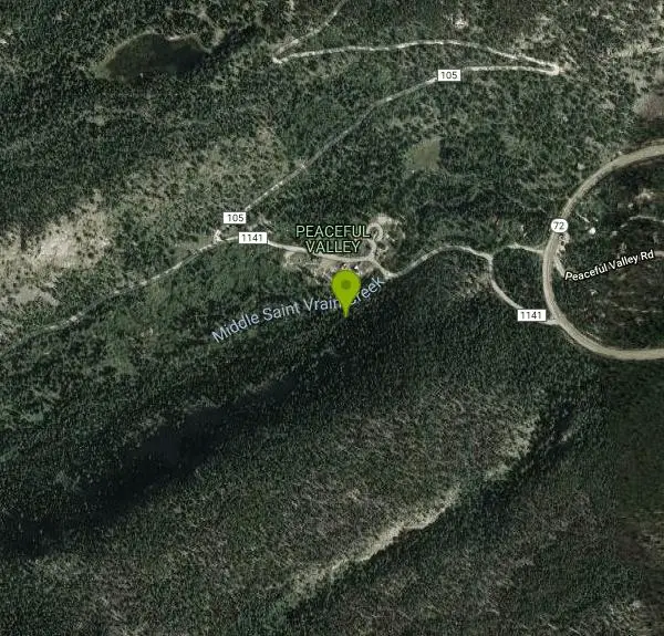
Bunce School Road To T33 Crash Site
Lyons, Colorado
| Address: | ~Forest Rd 1141, Lyons, CO 80540, USA |
| GPS: |
40°7'50.3"N 105°30'24.6"W Maps | Directions |
| State: | Colorado |
| Trail Length: | 14.00 miles |
| Trail Type: | Out & Back |
| MTB Trail Type: | 4x4 Trail |
Mountain Bike
Bunce School road is mostly class 2 except about a half mile in the middle that was loose and steep (class 4). Take FR202 to FR203 to a hiking trail to get to the crash site. 203 has a lot of steep loose rocky spots which may require a hike-a-bike both ways. The crash site has a few large pieces. There was a lot of small fragments in the ground. Most of the plane was aluminum so it hasn't decayed or rusted at all. Courtesy of Singletracks.com
More Information
Never modify trail features. Ride trails when they're dry enough that you won't leave ruts. Speak up when you see others on the trail and always yield to hikers, horses, and others coming uphill. Always ride on the established trail.
Read More- Plan Ahead and Prepare
- Travel & camp on durable surfaces
- Dispose of waste properly
- Leave what you find
- Minimize campfire impacts
- Respect wildlife
- Be considerate of other visitors
Directions
From Lyons, Colorado
- Head west on 5th Ave toward 5th Ave/W Main St (282 ft)
- Continue straight onto CO-7 W/5th AveContinue to follow CO-7 W(14.2 mi)
- Turn left onto CO-72 E (4.1 mi)
- Turn right onto Middle Saint Vrain RoadDestination will be on the left(0.3 mi)
Other Mountain Bike Trails Nearby
Buchanan Pass
Lyons, Colorado
0.9 miles WBegin going west from the parking lot on the 4x4 road. Very shortly, there will be a trail that drops to the right and crosses the creek--that's it. Follow it 4.5 miles to the...
Mountain Bike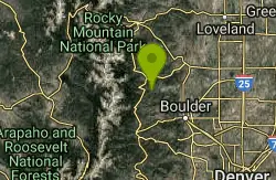
Ceran Saint Vrain Loop
Ward, Colorado
3.4 miles EFairly easy trail, not much climbing. Some hazards are the technical parts of the trail trail being along a steep drop, beginners, of if your not sure of your abilities, walk your...
Mountain Bike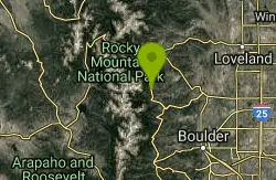
Johnny Park Road
Allenspark, Colorado
7.5 miles NTrails are open to motorized vehicles.
Mountain Bike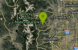
Coulson Gulch
Lyons, Colorado
9.7 miles NEThis is a sweet descent down to the North Saint Vrain River, then the trail follows the river upstream a couple of miles. It is easy to follow. When you get to the bottom, take a right....
Mountain Bike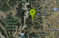
Mud Lake
Nederland, Colorado
10.5 miles SThere are two loops here; Tungstend Loop and Kinnickinnick, both of which are very short and very easy. No brutal climbs, no technical challenges - just a very easy ride around a very...
Mountain Bike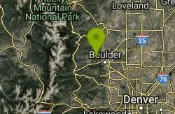
Bald Mountain Trail
Boulder, Colorado
10.5 miles SEThe trail is short with a really steep section, that is also short... Ride the trail CCW, about 10 times. Going CW there is a 5 foot technical section that is tough because you're...
Mountain Bike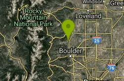
Hall Ranch
Boulder, Colorado
11.0 miles EFrom the lower parking lot, go uphill to the trailhead at the upper lot. From here it's an easy trail to follow. Follow Bitterbrush trail uphill through somewhat rough singletrack....
Mountain Bike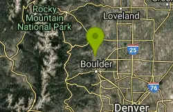
Boulder Valley Ranch
Boulder, Colorado
11.9 miles EA working cattle ranch that has multiple trails - some are open to bikes. Combination dirt road, doubletrack, and singletrack. There is a lot of singletrack along the dirt roads. One...
Mountain Bike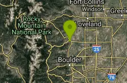
Picture Rock Trail
Lyons, Colorado
13.5 miles NEThis is a great way to access the Heil Valley Ranch trails, especially if you don't want to do the climbing of Wapiti Trail. There are some cool old buildings (and an old, broken-down,...
Mountain Bike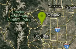
Heil Valley Ranch
Boulder, Colorado
14.2 miles NEThere are currently 13.5 miles of bike-legal trails at Heil Valley ranch, but in order to ride all of them at once you’d have to do at least 23-24 miles of pedaling. The trail...
Mountain Bike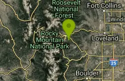
Lion Gulch
Estes Park, Colorado
14.3 miles NTricky, technical ride. Fairly short, only 6 miles or so, but lots of rocks making for tough climbing on the way up, which translates into a fun downhill on the way back. Some real...
Mountain Bike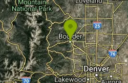
Chapman Drive
Boulder, Colorado
14.7 miles SEA somewhat steep 940 ft elevation gain climb up the backside of Flagstaff Mountain along a disused, double track, 1930's era Civilian Conservation Corps dirt road. Highlights include...
Mountain Bike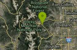
Pole Hill
Estes Park, Colorado
15.8 miles NPole Hill is made up of several loops. It definitely helped that we had a GPS device while we were riding.It is a 4x4 trail but there are plenty of technical sections due to the many...
Mountain Bike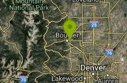
CU Dirt Jumps
Boulder, Colorado
16.2 miles SEThis .75 mile network of singletrails / doubletrails contains numerous dirt jumps that are scattered throughout the area. It keeps me excited and interested for countless hours, and has...
Mountain Bike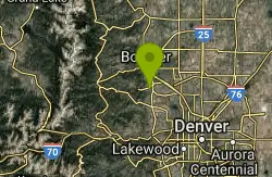
Doudy Draw Trail
Boulder, Colorado
18.8 miles SE1.7 mile + 0.5 mile to intersection with Community Ditch Trail. Meanders southward along the draw to the junction with the South Spring Brook Loop Trail (2.3 miles). After the Spring...
Mountain Bike
Marshall Mesa Area
Boulder, Colorado
19.0 miles SESome single, some doubletrack. Not too much climbing and nothing technical at all, but makes a great night ride.
Mountain Bike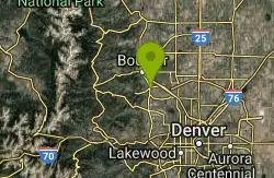
Dirty Bismarck
Boulder, Colorado
19.0 miles SEA mountain bike version of the classic Morgul-Bismarck loop. The ride is a mix of smooth gravel road-type riding and some mild singletrack; this is an easy ride from a technical...
Mountain Bike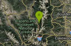
CR 81 To Rendezvous
Nederland, Colorado
19.1 miles SWThis trail can be a bit muddy in the low spots by the creek. Unless you want a deadly climb, Twisted Ankle is best ridden down, I would advise starting at the top of Twisted Ankle and...
Mountain Bike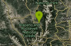
CDT: High Lonesome / Caribou / Strawberry West Trail
Fraser, Colorado
19.7 miles SWIf you like hard technical rides with some hike-a-bike this ride might be for you. it's a great ride. High Lonesome at 6 miles is a little short for me so I continue on to Caribou Trail...
Mountain Bike
Coalton Trail
Boulder, Colorado
19.8 miles SEThis is a very mild trail from a technical standpoint, and is mostly flat other than one very steep (though short) hill. This trail isn't anything special, but it can be used to link...
Mountain Bike