


Chico Area
Ramona, California
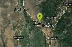
| GPS: |
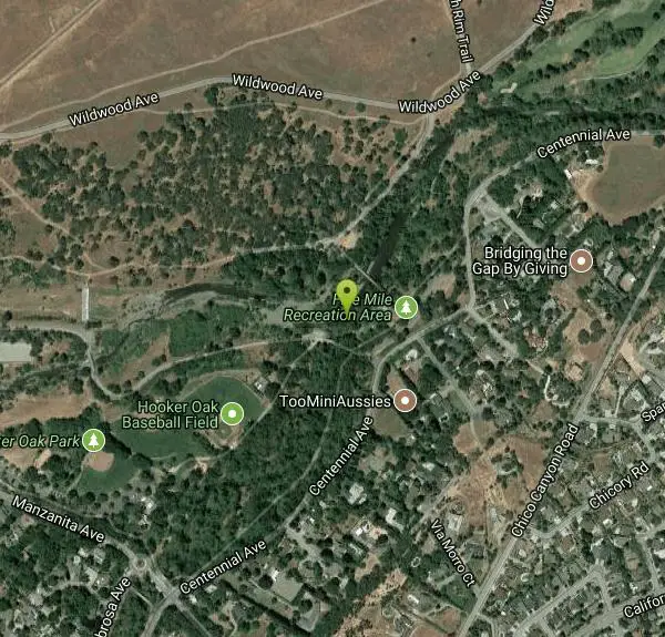
39°45'43.9"N 121°47'32.3"W Maps | Directions |
| State: | California |
Swim
More Information

- Plan Ahead and Prepare
- Travel & camp on durable surfaces
- Dispose of waste properly
- Leave what you find
- Minimize campfire impacts
- Respect wildlife
- Be considerate of other visitors
Directions
From Ramona, California
- Head northeast on Main St toward Montecito Rd (0.6 mi)
- Turn left onto 10th St (0.2 mi)
- Continue onto CA-78 W/Pine StContinue to follow CA-78 W(10.3 mi)
- Slight left onto Old Milky Way (1.8 mi)
- Turn left onto San Pasqual Rd (2.9 mi)
- Turn left onto Bear Valley Pkwy (0.6 mi)
- Continue onto E Via Rancho Pkwy (0.2 mi)
- Turn left to merge onto I-15 N (4.5 mi)
- Take exit 32 to merge onto CA-78 W (16.6 mi)
- Take exit 1B to merge onto I-5 N toward Los Angeles (42.1 mi)
- Keep left at the fork to stay on I-5 N, follow signs for Santa Ana (39.4 mi)
- Keep right at the fork to stay on I-5 N, follow signs for I-10 W/Santa Monica/Interstate 5 N/Sacramento (0.3 mi)
- Keep left to continue on I-5 N/Golden State Fwy, follow signs for Sacramento/Interstate 5 N (2.0 mi)
- Keep left to continue on I-5 N (19.7 mi)
- Keep left to stay on I-5 N (0.9 mi)
- Keep left to stay on I-5 N (4.8 mi)
- Keep left at the fork to stay on I-5 N (59.9 mi)
- Keep right at the fork to stay on I-5 N, follow signs for San Francisco/Sacramento/Interstate 5 N (226 mi)
- Keep right at the fork, follow signs for I-5/Stockton/Sacramento (0.8 mi)
- Continue onto I-5 N (78.5 mi)
- Keep right to continue on CA-99 N, follow signs for Yuba City/Marysville (12.5 mi)
- Keep right to continue on CA-70 N, follow signs for Marysville/Oroville (22.0 mi)
- Turn right onto State Hwy 70 E/9th St (signs for Oroville) (0.2 mi)
- Turn left onto CA-70 N/B StContinue to follow CA-70 N(31.6 mi)
- Continue onto CA-149 N (signs for CA-99/Chico/Red Bluff) (5.7 mi)
- Merge onto CA-99 N (9.5 mi)
- Take exit 385 for CA-32 toward Chester/Orland (0.2 mi)
- Turn right onto CA-32 E (1.5 mi)
- Turn left onto Bruce Rd (0.7 mi)
- Continue onto Chico Canyon Road (0.3 mi)
- Continue onto Manzanita Ave (0.3 mi)
- Turn right onto Centennial Ave (0.3 mi)
- Turn left (82 ft)
to add photos & videos and suggest edits
Edit Review
Delete Review
Other Swimming Holes Nearby
Add Location
Bidwell Park
Chico, California
0.2 miles NEOne of the largest municipal parks in the United States at nearly 3,670 acres, stretching almost 11 miles through the heart of Chico along Big Chico Creek.
Hike, Horseback, Mountain Bike, Swim
Stony Gorge Reservoir
Elk Creek, California
40.9 miles WSandy beaches against oak-and-chaparral foothills frame this mid-sized low-elevation reservoir, where warm calm water is ideal for waterskiing, jet skiing, and paddling.
Camp, Canoe, Hike, Swim


