


Hoyt's Crossing
Nevada City
Hike and Swim
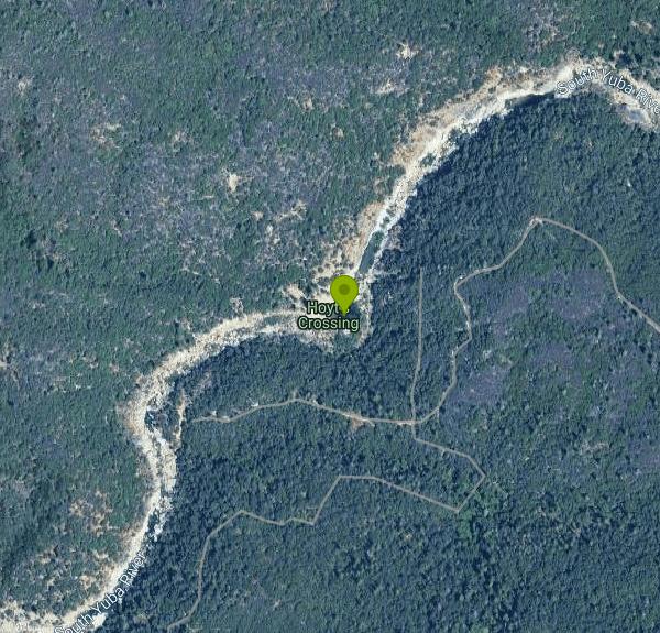
Hoyt's Crossing is a river swimming hole on the South Yuba River inside South Yuba River State Park, run by California State Parks out of its Sierra District office. It sits about three quarters of a mile upstream from the Highway 49 bridges, roughly 7 miles north of downtown Nevada City, in a steep granite and oak canyon that is part of the river's state Wild and Scenic stretch. The name comes from an old river ford on Hoyt Crossing Road, an early route between Nevada City and the gold camps to the north.
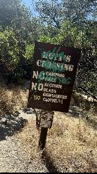
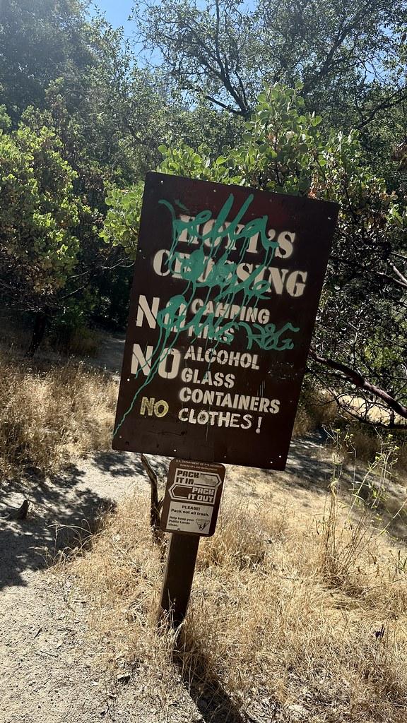
Getting there means a short hike. Drive Highway 49 north from Nevada City for about 7 miles; just before the highway bridge, a short drive on the right drops into a small paved lot with portable toilets. Walk across the old 1920s concrete bridge, now closed to cars, and pick up the Hoyt Trail at its north end. The path runs upstream along the canyon wall for about 0.75 miles with roughly 200 feet of total climbing, and side paths branch down to smaller pools on the way. Stay on the upper trail and look for the Hoyt's Crossing sign where it drops onto the main beach. The lots fill early on summer weekends, and the Highway Patrol tickets cars parked over the fog line on Highway 49. In summer 2026 Nevada County ran a $2 weekend shuttle from the county Government Center in Nevada City to the Highway 49 crossing, so check whether it returns before you count on it.
The swim area is a large, deep pool beside a broad river bar of boulders, cobble and patches of sand. The bar changes shape from year to year as winter floods move material around. The water is snowmelt and runs cold well into early summer, warming to comfortable swimming by July and August. There are no lifeguards. The Miner's Tunnel, an old mining bore, enters the river directly across from the beach. The area is a long-established clothing-optional spot, and you should expect nude sunbathers here.
There is no entry fee to walk in. The park's $10 vehicle day-use fee applies to the Bridgeport lots downstream, and no parking fee is listed for the Highway 49 lots. Hours at the Highway 49 crossing are sunrise to sunset, with no parking from 10pm to 6am. Posted rules on the trail ban alcohol, glass containers, camping, fires and smoking, and dogs must be on a leash.
The South Yuba is dangerous during spring runoff. The stretch around the Highway 49 crossing is known as one of the more hazardous parts of the park, and high flows sweep through the pool with strong current and submerged rocks. Wait for low, clear water in mid to late summer, and do not cross the river at the old ford when it is running high. Cell service is weak in the canyon, emergency response can take 30 minutes or more, and the nearest emergency call box is back at the Highway 49 bridges.
For a longer outing, the old Hoyt Crossing Road climbs out of the canyon from the crossing for about 1.6 miles each way with around 1,000 feet of climbing. Back at the trailhead, the Independence Trail starts a half mile south on Highway 49, and the pools right under the old bridge make an easier swim for anyone who doesn't want to hike.
More Information
Be courteous, informed, and prepared. Read trailhead guidelines, stay on the trail, and don't feed the wildlife.
Read More
- Plan Ahead and Prepare
- Travel & camp on durable surfaces
- Dispose of waste properly
- Leave what you find
- Minimize campfire impacts
- Respect wildlife
- Be considerate of other visitors
Directions
From Nevada City
- Head north on Sacramento St toward Broad St (154 ft)
- Turn left onto Broad St (0.8 mi)
- Turn left onto CA-49 N (8.9 mi)
- Turn right onto Milhous Dr (0.7 mi)
- Turn right onto Hoyt Crossing Rd/
Lost River Rd Continue to follow Hoyt Crossing Rd(1.3 mi)


Other Swimming Holes and Hiking Trails Nearby

Jones Bar
Nevada City
1.5 miles SWA primitive South Yuba River swimming hole at the mouth of Rush Creek in South Yuba River State Park, reached by a steep trail from the Independence Trail lot on Highway 49 or a rough 4WD road. No fee posted at the bar.
Hike, Swim 0.1 mi
Edwards Crossing
Nevada City, California
5.5 miles EDeep blue water, rock cliffs, and a sandy beach on the Yuba River — with a half-mile walk from the parking lot and cliff jumping spots up to 20 feet deep.
Hike, Swim
North Fork Falls
Colfax, California
21.6 miles EClear water, cliff-jumping pools, and waterfalls at Sierra Nevada's North Fork Falls — a summer hike to two deep pools with 10-to-25-foot cliffs ready for leaping.
Camp, Hike, Swim 1.2-2.7 mi
Lake Clementine Trail Loop
Auburn, California
26.8 miles SFour connected trails loop around Lake Clementine on the North Fork American River — wheelchair accessible, pet friendly, and great for fishing, camping, and family summer outings.
Camp, Canoe, Hike, Kayak, Mountain Bike, Swim 5.6 mi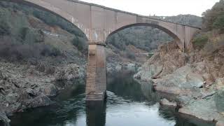
Quarry Trail
Cool, California
26.9 miles SA riverside hike along an old limestone railway line to a dramatic amphitheater quarry — wildflowers peak April through June, and the historic railway story (scrap metal for WWII) adds a fascinating layer.
Hike
American River Confluence
Auburn, California
26.9 miles SThe Confluence — where the North and Middle Forks of the American River meet below Foresthill Bridge — is Auburn's favorite swimming and rafting hub.
Hike, Horseback, Kayak, Rock Climb, Swim, Whitewater
Heath Falls Overlook Trail
Truckee, California
34.5 miles EHike and Swim near Truckee, California
Hike, Swim
Palisades Creek Trail
Truckee, California
34.5 miles EA difficult Sierra Nevada trail past Palisade Falls — one of the tallest on the American River — with views of Devils Peak, alpine lakes, and 2,000 feet of elevation gain.
Hike, Swim
Granite Bay Main Beach
Granite Bay, California
37.9 miles SThe largest sand beach on Folsom Lake, guarded in summer, twenty five minutes from downtown Sacramento at the end of Douglas Boulevard.
Canoe, Hike, Kayak, Swim
Sutter National Wildlife Refuge
Meridian, California
39.4 miles SWA 2,600-acre Sacramento Valley wildlife refuge 50 miles north of Sacramento, managing wetland impoundments and riparian habitat as critical wintering grounds for waterfowl.
Hike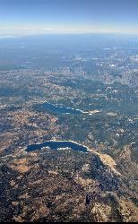
Hell Hole Reservoir
Georgetown
39.4 miles SEA 4,630 foot Rubicon River reservoir in the Eldorado National Forest, 51 miles and two hours east of Georgetown, where the boat ramp cove is the only drivable shoreline and the lake drops over 100 feet by September.
Camp, Canoe, Hike, Kayak, Swim
Tahoe Area
Olympic Valley, California
43.9 miles ESwim near Olympic Valley, California
Swim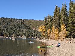
China Cove Beach
Truckee
44.3 miles EChina Cove Beach is the sandy, shallow corner at the west end of Donner Memorial State Park, on the south shore of Donner Lake outside Truckee. California State Parks runs it, access is open to anyone paying the 10 dollar day use parking fee, and there is
Camp, Canoe, Hike, Kayak, Swim
Shirley Canyon
Olympic Valley, California
44.9 miles EShirley Canyon is widely regarded as one of Lake Tahoe's finest half-day hikes, a spectacular climb up a granite canyon that rises straight out of the base of the Palisades Tahoe ski resort in...
Hike 4.1 mi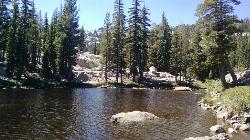
Shirley Lake Canyon Trail
Olympic Valley, California
45.5 miles EA 2.5-mile hike from Squaw Valley Village past streams and waterfalls to a pure Sierra lake — rocky near the top, with a free gondola ride back down from High Camp as a reward.
Hike, Swim
Chico Area
Ramona, California
49.4 miles NWSwim near Ramona, California
Swim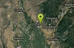
Bidwell Park
Chico, California
49.4 miles NWOne of the largest municipal parks in the United States at nearly 3,670 acres, stretching almost 11 miles through the heart of Chico along Big Chico Creek.
Hike, Horseback, Mountain Bike, SwimNearby Campsites
North Fork Falls
Colfax, California
21.6 miles EClear water, cliff-jumping pools, and waterfalls at Sierra Nevada's North Fork Falls — a summer hike to two deep pools with 10-to-25-foot cliffs ready for leaping.
Camp, Hike, Swim 1.2-2.7 mi
Lake Clementine Trail Loop
Auburn, California
26.8 miles SFour connected trails loop around Lake Clementine on the North Fork American River — wheelchair accessible, pet friendly, and great for fishing, camping, and family summer outings.
Camp, Canoe, Hike, Kayak, Mountain Bike, Swim
Hell Hole Reservoir
Georgetown
39.4 miles SEA 4,630 foot Rubicon River reservoir in the Eldorado National Forest, 51 miles and two hours east of Georgetown, where the boat ramp cove is the only drivable shoreline and the lake drops over 100 feet by September.
Camp, Canoe, Hike, Kayak, Swim
China Cove Beach
Truckee
44.3 miles EChina Cove Beach is the sandy, shallow corner at the west end of Donner Memorial State Park, on the south shore of Donner Lake outside Truckee. California State Parks runs it, access is open to anyone paying the 10 dollar day use parking fee, and there is
Camp, Canoe, Hike, Kayak, Swim


