


Copperhead Cave
Harrison, Arkansas

| Address: | Harrison, AR 72601 United States |
| GPS: |
36°3'15.9"N 93°15'24.1"W Maps | Directions |
| State: | Arkansas |
Cave
Copperhead cave requires a rapel to get in for most people or nothing but a good climb for a skilled person, wet cave with multiple levels about half mile deep. Creek running through most of the cave, very fun cave.
More Information
NPS.gov Homepage (U.S. National Park Service)
The National Park Service cares for special places saved by the American people so that all may experience our heritage.
https://www.nps.gov/index.htm
- Plan Ahead and Prepare
- Travel & camp on durable surfaces
- Dispose of waste properly
- Leave what you find
- Minimize campfire impacts
- Respect wildlife
- Be considerate of other visitors
Directions
From Harrison, Arkansas
- Head east on W Stephenson Ave toward N Main St (75 ft)
- Turn right at the 1st cross street onto S Main St (207 ft)
- Turn right onto W Central Ave (0.2 mi)
- Turn left onto State Hwy 7 S/S Pine St (signs for Jasper)Continue to follow State Hwy 7 S(0.8 mi)
- Slight left onto AR-7 S/State Hwy 7 S (17.8 mi)
- Turn right onto AR-74 W (4.8 mi)
- Turn right onto Camp Orr Rd/Kyles Landing Rd (1.0 mi)
- Turn right onto Camp Orr Rd (1.7 mi)
Copperhead Cave is located within the boundaries of the Buffalo National River and is surrounded by undeveloped forest.

Other Caves Nearby
Nearby Campsites
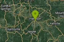
Harrison, AR, USA
Harrison, Arkansas
14.7 miles NECamp, Cave, Hike, and Swim near Harrison, Arkansas
Camp, Cave, Hike, Swim
Hickory Creek Park
Lowell
44.9 miles WA buoyed sand and gravel swim beach on Beaver Lake at a Corps of Engineers park east of Lowell. Campers swim free; day visitors pay a $5 per vehicle area use fee.
Camp, Swim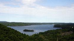
Prairie Creek Swimming Area
Rogers
49.1 miles NWPrairie Creek is a U.S. Army Corps of Engineers swim beach on Beaver Lake, three miles east of Rogers, where a buoy line marks off a sandy cove inside the day use area. There is no lifeguard, and the Arkansas Department of Health samples the water for E.
Camp, Canoe, Kayak, Swim


