


Prairie Creek Swimming Area
Rogers
Camp, Canoe, Kayak, and Swim
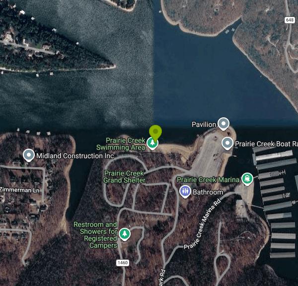
Prairie Creek is a U.S. Army Corps of Engineers park on the western shore of Beaver Lake, about three miles east of downtown Rogers in Benton County, Arkansas. The Little Rock District runs it from the Beaver Lake Project Office at 2260 N. 2nd Street in Rogers, and the park address is 9300 North Park Road. The designated swim beach sits in a sandy cove inside the day use area, west of the boat ramp, with the swimming zone set off in the water by a floating buoy line. It is one of about a dozen Corps parks on the lake and one of the Beaver Lake beaches the Arkansas Department of Health samples for bacteria during the season.
From Rogers, take Highway 12 east, which becomes Prairie Creek Drive, for just over three miles, then turn left onto North Park Road and follow it to the day use parking area. Day use is $5 per vehicle for anyone not registered in the campground. The Corps also sells an annual day use pass, and holders of the America the Beautiful Senior and Access passes pay a reduced rate. The park phone is 479-925-3957. The project office answers Beaver Lake questions at 479.636.1210 extension 1710, weekdays 8:00 a.m. to 4:00 p.m., and the duty ranger line is 479.512.3575 outside those hours.
There is no lifeguard. Corps swim beaches on Beaver Lake are unguarded, so everyone is swimming at their own risk and children need an adult watching them. The buoy line is what separates swimmers from boat traffic, and it matters here more than at most beaches: Prairie Creek has a five lane launch ramp and a private marina in the same cove, so powerboats move through the area all summer. Stay inside the buoys.
Water quality is tested several times a year by the Arkansas Department of Health, usually timed ahead of the busy holiday weekends. When E. coli comes back above the state threshold the Corps closes the beach, and it stays closed until two consecutive samples pass. That happened at Prairie Creek in mid August 2026, and the beach reopened in early September. Resident Canada geese in the park were named as a likely contributor. Closures are announced by the Little Rock District, so call the project office before driving out if you want to be certain.
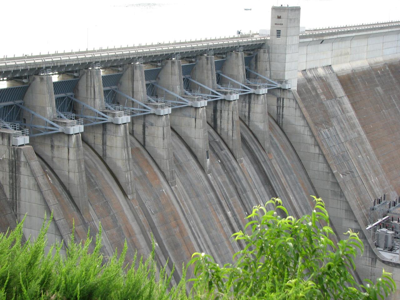
Beaver Lake is an impoundment of the White River at river mile 609, built between 1960 and 1966, with a conservation pool at 1,120 feet above sea level and 449 miles of shoreline. It also supplies drinking water to most of Northwest Arkansas, which is part of why the bacteria monitoring is taken seriously. Lake level rises and falls with rainfall and releases, so the amount of exposed sand changes through the season.
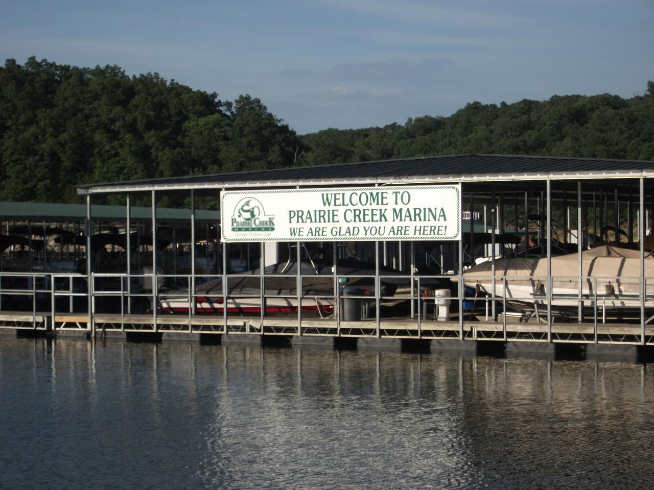
The park has 112 campsites across two loops, plus a bathhouse, flush toilets, drinking water, a dump station, picnic areas, a playground, a sand volleyball court, and group shelters. Campground check in is 4:00 p.m. and check out is 1:00 p.m., with a 14 day limit in any 30 consecutive days. Prairie Creek Marina, a concession operating here since 1966, rents boats and sells fuel next door. Wood burning fires have been under restriction recently, so confirm the current fire status when you arrive.
More Information
Beaver Water District | Clean Drinking Water for Northwest Arkansas
We provide Northwest Arkansas with clean, safe drinking water to Fayetteville, Springdale, Rogers, and Bentonville.
https://www.bwdh2o.org/Prairie Creek (AR), Beaver Lake - Recreation.gov
Explore Prairie Creek (AR) in Beaver Lake, Arkansas with Recreation.gov. Prairie Creek Campground sits along the vast shores of Beaver Lake in the Ozark Mountains of Northwest Arkansas, offering spacious and sunny campsites and an ab
https://www.recreation.gov/camping/campgrounds/232680SWIMMING BEACH INVENTORY
Alpine Ridge DeGray Clark County US Corps Eng - Vicksburg Albert Pike U.S.F.S Montgomery County U.S.F.S. Arlie Moore DeGray Hot Spring County US Corps Eng - Vicksburg Arrowhead Point Greeson Pike County US Corps Eng - Vicksburg Barkshed U.S.F.S. Stone County U.S.F.S.
https://healthy.arkansas.gov/wp-content/uploads/Swimming_Beaches.pdfWelcome - Prairie Creek Marina
Full-service marina on Beaver Lake with boat rentals, 750+ slips, fuel dock, ship store, and floating restaurant near Rogers, AR.
https://prairiecreekmarina.com/
- Plan Ahead and Prepare
- Travel & camp on durable surfaces
- Dispose of waste properly
- Leave what you find
- Minimize campfire impacts
- Respect wildlife
- Be considerate of other visitors
Directions
- Get directions on Google Maps
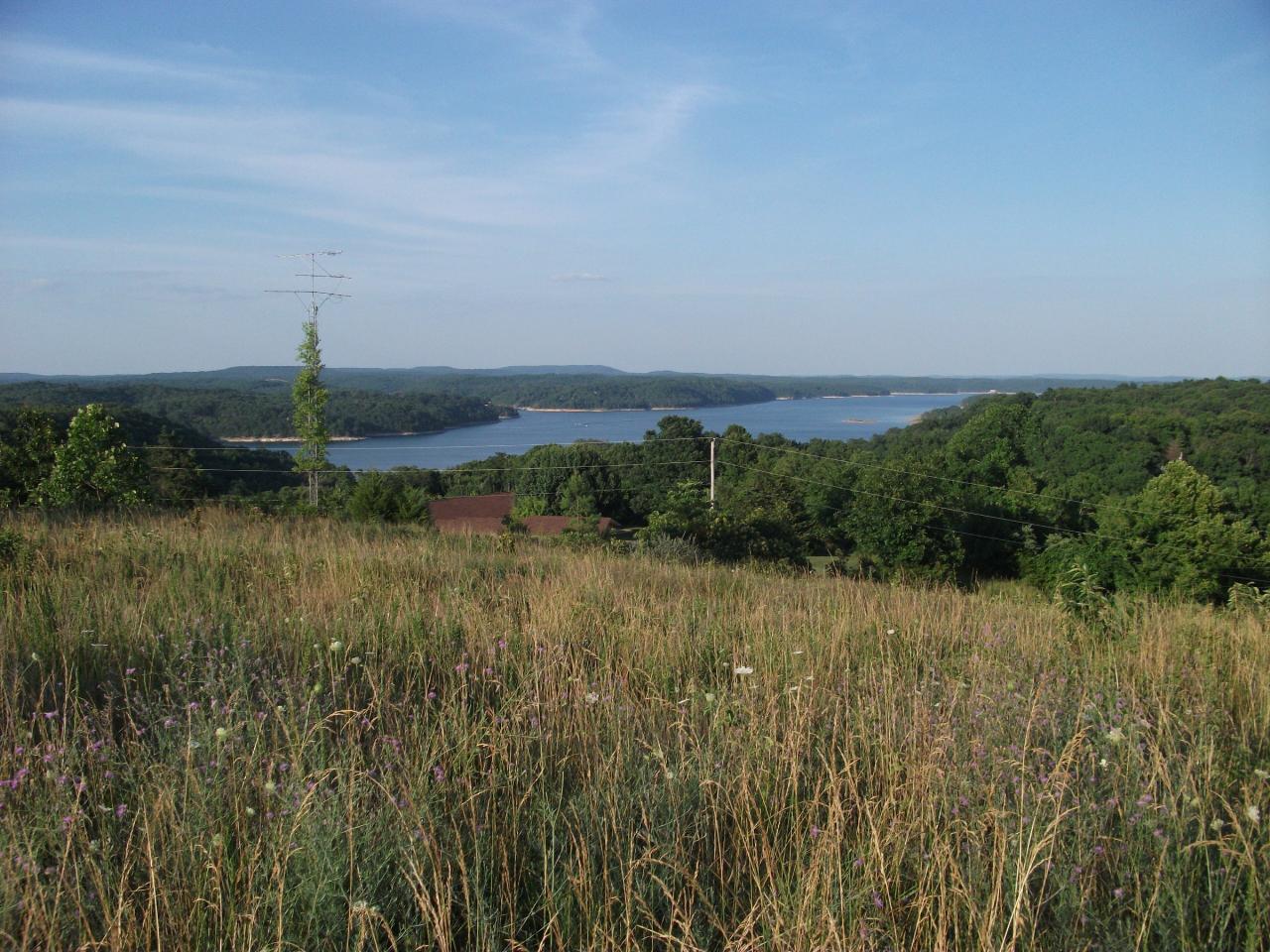
 Beaver Lake seen from Park Road at Prairie Creek, the road that leads down to the day use area and s courtesy of Brandonrush↗ (CC0↗)
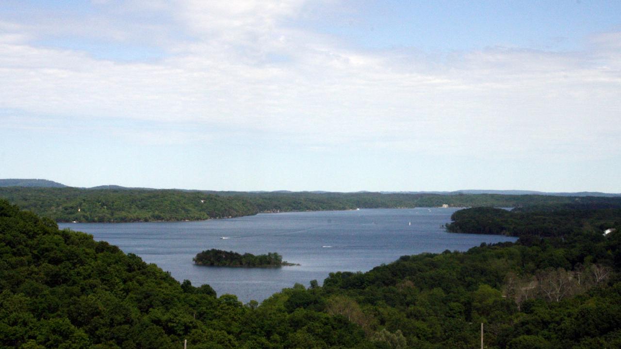
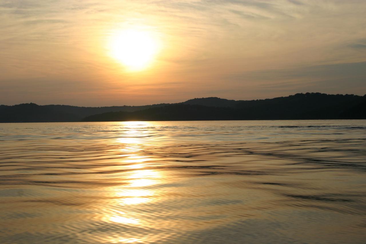
 Open water off Prairie Creek on the western shore of Beaver Lake. courtesy of Traveler7↗ (CC BY-SA 3.0↗)
 Prairie Creek Marina, the private concession sharing the cove with the swim beach and the five lane courtesy of Traveler7↗ (CC BY-SA 3.0↗)
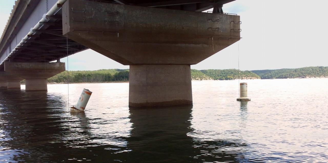
 Beaver Lake under the Highway 12 bridge, the route east out of Rogers toward the park. courtesy of Doug Wertman from Rogers, AR, USA↗ (CC BY 2.0↗)
 Beaver Dam on the White River, completed in 1966, which holds the lake at a conservation pool of 1,1 courtesy of James Huckaby↗ (CC BY-SA 2.0↗)
 Shoreline and bluffs typical of Beaver Lake in the Arkansas Ozarks. courtesy of Michaelkrewson at English Wikipedia↗ (Public domain↗)
Other Swimming Holes, Canoeing Areas, and Kayaking Areas Nearby

The Cliffs at Beaver Lake
Larue, Arkansas
6.8 miles EColorful limestone bluffs towering over clear, cool Beaver Lake water — cliff jump, explore by kayak along five miles of bluff, or look for small hidden waterfalls.
Swim
Hickory Creek Park
Lowell
8.2 miles SA buoyed sand and gravel swim beach on Beaver Lake at a Corps of Engineers park east of Lowell. Campers swim free; day visitors pay a $5 per vehicle area use fee.
Camp, Swim
Hogscald Hollow
Eureka Springs, Arkansas
13.2 miles EAn adventurous Beaver Lake swimming hole near Eureka Springs with cliff jumps, from gentle 10-footers to a 50-foot Lover's Leap.
Canoe, Kayak, Swim
Eureka Springs Area
Heber Springs, Arkansas
13.4 miles EThe Beaver Lake and King River area near Eureka Springs hides several laid-back swimming holes in northwest Arkansas, some with very optional dress codes.
Swim
Tanyard Creek Falls
Mammoth Spring, Arkansas
14.0 miles NWA two-mile forested loop to a mossy, multi-tiered waterfall in Bella Vista — perfect wading pools await at the base, with cool, clean water on an easy trail for all levels.
Swim
Trigger Gap
Eureka Springs, Arkansas
21.9 miles EA mild river kayaking stretch on Kings River with calm current, cool clear water, and rental canoes, kayaks, and paddleboards from $30–$80 at Trigger Gap Outfitters — great for beginners.
Canoe, Kayak, Swim
Riverside Park
West Fork, Arkansas
30.5 miles SA low concrete dam creates an impressive rushing waterfall above colorful cliffs in West Fork, with deep swimming water, fishing, sunbathing, a pavilion, and short walking trails.
Swim
Kings River Falls
Sheridan, Arkansas
41.3 miles SEA unique waterfall dropping from a wide red rock shelf into a pool — sometimes roaring wall-to-wall, sometimes trickling — on an easy two-mile round-trip hike.
Hike, Swim
Cherry Corner Access
Neosho, Missouri
42.1 miles NA 4.2-acre public creek access near Neosho with a gravel bar for kayak launch, a rope swing, and swimming — swimwear is customary, with more private spots upstream.
Canoe, Kayak, Swim
Cedar Flats
Banyard, Arkansas
42.3 miles SSpring-fed Cedar Flats stays cool and clear all year, with large rock shelves for lounging near Devils Den State Park — an old rope swing is on site, so swim and swing at your own risk.
Swim
Ponca Bridge
Ponca, Arkansas
44.9 miles SEBright blue water teeming with fish, a concrete bridge jump, rocky shallows for wading, and elk sightings nearby — Ponca Bridge is an easy-access swimming hole in Arkansas.
Hike, Swim
Moon Shine Beach
Branson, Missouri
44.9 miles NEA spacious sandy beach on Table Rock Lake with easy sloped water access, volleyball, a playground, and beautiful sunrises and sunsets over the large clear lake and surrounding hickory forest.
Swim
Ponca Area
Morrilton, Arkansas
45.8 miles SESwim near Morrilton, Arkansas
Swim
Lee Creek Access
Chester, Arkansas
47.7 miles SA smooth, deep, wide stretch of Lee Creek with a sandy beach, a kayak and canoe launch, camping spots with fire circles, and peaceful surroundings for a summer swim.
Camp, Canoe, Kayak, Swim
Mulberry River Area
Umpire, Arkansas
49.0 miles SSwim near Umpire, Arkansas
Swim
Rocky Ford State Park
Tahlequah, Oklahoma
49.8 miles WRocky Ford is one of the most popular spots to cool off along the scenic Illinois River near Tahlequah, in the green hills of northeastern Oklahoma. A favorite local swimming and float destination,...
SwimNearby Campsites
Hickory Creek Park
Lowell
8.2 miles SA buoyed sand and gravel swim beach on Beaver Lake at a Corps of Engineers park east of Lowell. Campers swim free; day visitors pay a $5 per vehicle area use fee.
Camp, Swim
Lee Creek Access
Chester, Arkansas
47.7 miles SA smooth, deep, wide stretch of Lee Creek with a sandy beach, a kayak and canoe launch, camping spots with fire circles, and peaceful surroundings for a summer swim.
Camp, Canoe, Kayak, Swim


