


Crescent Meadow in Sequoia National Park
Sequoia National Park, California
| Address: | Crescent Meadow Rd, Sequoia National Park, CA 93262, USA |
| GPS: |
36°33'17.8"N 118°44'59.0"W Maps | Directions |
| State: | California |
Picnic Tables Streams Trails Wildflowers National Park
Camp and Hike
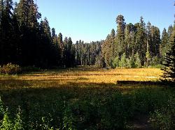
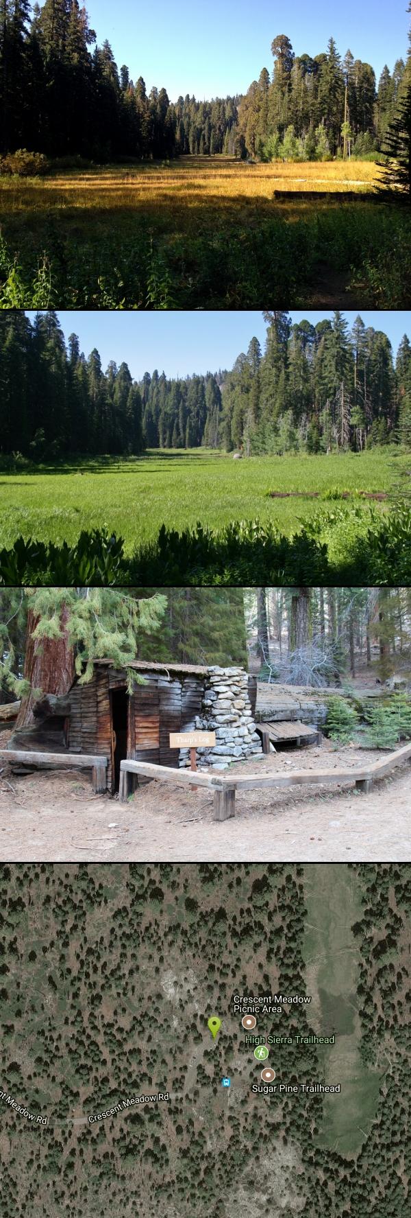
Crescent Meadows is a gentle and easy hiking area, making it perfect for families. Inside the meadow area, visitors will see many of the large Sequoias and Redwoods, as well as a variety of wildlife. The meadow is one of the best places in the park to view wildlife, including the black bear.
Sights include Chimney Tree and Tharp's Cabin. Chimney Tree is a burnt out sequoia, which allows visitors the rare opportunity to stand inside of a giant sequoia. The bark on sequoia trees allows them to survive over 100 wildfires during the course of their lifetime. The Chimney Tree is not on the main trail within Crescent Meadows, but is well marked and easy to find.
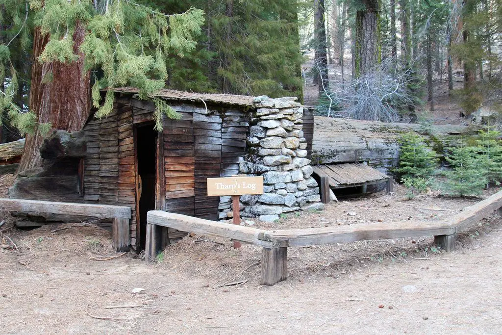
Tharp's Cabin is a small log cabin built into a fallen sequoia tree. Hale Tharp was shown the area by Yukut guides in 1858 and severl years later built a log cabin in a fallen tree. This became his summer residence while his cattle grazed in the meadows. When the area became a national park, Tharp moved, but his cabin stayed. Visitors are able to go inside and see just how it was left, including Tharp's bed and table.
More Information
Sequoia National Park Itinerary
This Sequoia National Park Itinerary will help you get started as you plan your vacation to Sequoia National Park.
https://www.justgotravelstudios.com/collections/national-park-itineraries/products/sequoia-national-park-itinerary?ref=9zpxis0diinBe courteous, informed, and prepared. Read trailhead guidelines, stay on the trail, and don't feed the wildlife.
Read More
- Plan Ahead and Prepare
- Travel & camp on durable surfaces
- Dispose of waste properly
- Leave what you find
- Minimize campfire impacts
- Respect wildlife
- Be considerate of other visitors
Directions
From Sequoia National Park, California
- Head south on CA-198 W (15.9 mi)
- Turn left onto Crescent Meadow Rd (82 ft)
- Turn right to stay on Crescent Meadow Rd (2.6 mi)
- Continue straight (456 ft)




Other Hiking Trails Nearby
Moro Rock
Tulare, California
1.0 miles SWFour hundred laddered steps up a granite rock at 6,725 feet in Sequoia National Park lead to panoramic Great Western Divide views — with rock climbing routes from 5.7 to 5.12 when falcon nesting is over.
Hike, Rock Climb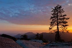
Sequoia National Park
Sequoia National Park, California
1.8 miles NGeneral Sherman — the world's largest tree by volume at 275 feet tall — anchors a national park full of giant sequoias, meadow walks, and black bear sightings.
Backpack, Camp, Hike, Rock Climb, Swim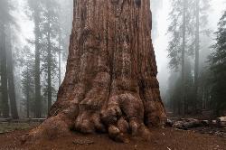
General Sherman Tree in Sequoia National Park
Three Rivers, California
1.9 miles NStanding 275 feet tall and over 36 feet wide at the base, General Sherman is the world's largest tree by volume — about 2,000 years old and accessible by free shuttle or two walking trails in Sequoia National Park.
Hike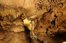
Crystal Cave
Three Rivers, California
4.8 miles NWGuided tours through Crystal Cave's marble passages, stalactites, underground streams, and glittering formations — including lantern tours and a 4-to-6-hour adventure crawl inside Sequoia National Park.
Hike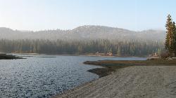
Hume Lake Sandy Cove Beach
Hume, California
18.1 miles NWAn 87 acre lake at 5,250 feet in the Sequoia National Forest, held back by the first multiple arch dam ever built, with swimming off sandy coves and no motorboats.
Camp, Canoe, Hike, Kayak, Swim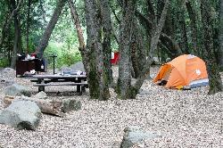
Hidden Falls Campground
Springville, California
21.0 miles SA walk-in campground along the Tule River near Sequoia Forest, with a 30-foot waterfall, seasonal swimming holes, and granite Indian Bathtubs carved by Native Americans.
Camp, Hike, Swim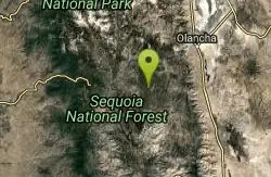
Monache mountain
Inyokern, California
41.3 miles SEA 9,367 ft peak near Lone Pine in the heart of California's Sierra Nevada — ranked among the top mountain summits in the state.
Camp, Hike, Mountain BikeNearby Campsites
Sequoia National Park
Sequoia National Park, California
1.8 miles NGeneral Sherman — the world's largest tree by volume at 275 feet tall — anchors a national park full of giant sequoias, meadow walks, and black bear sightings.
Backpack, Camp, Hike, Rock Climb, Swim
Hume Lake Sandy Cove Beach
Hume, California
18.1 miles NWAn 87 acre lake at 5,250 feet in the Sequoia National Forest, held back by the first multiple arch dam ever built, with swimming off sandy coves and no motorboats.
Camp, Canoe, Hike, Kayak, Swim
Hidden Falls Campground
Springville, California
21.0 miles SA walk-in campground along the Tule River near Sequoia Forest, with a 30-foot waterfall, seasonal swimming holes, and granite Indian Bathtubs carved by Native Americans.
Camp, Hike, Swim
Monache mountain
Inyokern, California
41.3 miles SEA 9,367 ft peak near Lone Pine in the heart of California's Sierra Nevada — ranked among the top mountain summits in the state.
Camp, Hike, Mountain Bike
Bush Creek Campground
Kernville, California
43.4 miles SA campground between several Kern River swimming holes with modern showers, a clubhouse, shaded trails, and fishing — open year-round and rarely crowded.
Camp, Kayak, Swim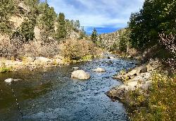
Limestone Campground
Kernville, California
43.7 miles SA rustic oak-and-pine-shaded campground on the Kern River near a swimming hole, horse trails, kayaking, and white water rafting — no cell service, no crowds.
Camp, Kayak, Swim


