


Monache mountain
Inyokern, California
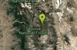
| GPS: |
36°6'41.8"N 118°15'14.4"W Maps | Directions |
| State: | California |
Camp, Hike, and Mountain Bike
Monache Mountain is a 9,367 ft / 2,855 m mountain peak near Lone Pine, California, United States. Based on peakery data, it ranks as the 682nd highest mountain in California and the 5590th highest mountain in the United States.
More Information
Add ResourceNever modify trail features. Ride trails when they're dry enough that you won't leave ruts. Speak up when you see others on the trail and always yield to hikers, horses, and others coming uphill. Always ride on the established trail.
Read MoreBe courteous, informed, and prepared. Read trailhead guidelines, stay on the trail, and don't feed the wildlife.
Read More
- Plan Ahead and Prepare
- Travel & camp on durable surfaces
- Dispose of waste properly
- Leave what you find
- Minimize campfire impacts
- Respect wildlife
- Be considerate of other visitors
Directions
From Inyokern, California
- Head east on W Inyokern Rd toward Brown Rd (0.9 mi)
- Turn left to merge onto US-395 N toward Bishop (15.1 mi)
- Turn left onto 9 Mile Canyon Rd (9.8 mi)
- Continue onto Kennedy Meadow Rd/Sherman Pass Rd (14.1 mi)
- Turn left onto Forest Rte 22S05/Sherman Pass Rd (12.2 mi)
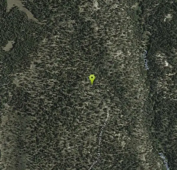
- Turn right onto Forest Rte 21S41 (2.2 mi)
Drive the Kennedy Meadows Road for 37 miles from route 395 to the Blackrock Junction near the Ranger Station. Alternatively you can come up the grade on the Sherman Pass Road from the Kern River. From the Blackrock Junction drive north 4.1 miles and turn right on the signed Monache Road. Go another 3.8 miles curving around Powell Meadow to a junction on the left. This is the start of the Monache Jeep Road, 34E38, which is closed in winter months. A four-wheel drive vehicle is needed and low-range is helpful on the sharp turns and several steep sections. A normal small pickup with four-wheel drive is OK. The road has a lot of motorcycle and Jeep traffic on weekends. Drive this for 3.5 miles descending to a bridge at Snake Creek. The driving is easier now as the road crosses a meadow and goes north over Summers Ridge. (Courtesy of peakbagging.com)
Other Mountain Bike Trails and Hiking Trails Nearby
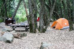
Hidden Falls Campground
Springville, California
25.0 miles NWA walk-in campground along the Tule River near Sequoia Forest, with a 30-foot waterfall, seasonal swimming holes, and granite Indian Bathtubs carved by Native Americans.
Camp, Hike, Swim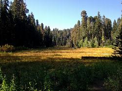
Crescent Meadow in Sequoia National Park
Sequoia National Park, California
41.2 miles NWA gentle loop through giant Sequoias in Sequoia National Park, with the rare chance to stand inside a burnt-out Chimney Tree and peek into Tharp's Cabin — a historic homestead built inside a fallen giant.
Camp, Hike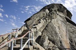
Moro Rock
Tulare, California
41.4 miles NWFour hundred laddered steps up a granite rock at 6,725 feet in Sequoia National Park lead to panoramic Great Western Divide views — with rock climbing routes from 5.7 to 5.12 when falcon nesting is over.
Hike, Rock Climb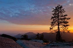
Sequoia National Park
Sequoia National Park, California
42.6 miles NWGeneral Sherman — the world's largest tree by volume at 275 feet tall — anchors a national park full of giant sequoias, meadow walks, and black bear sightings.
Backpack, Camp, Hike, Rock Climb, Swim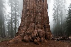
General Sherman Tree in Sequoia National Park
Three Rivers, California
42.6 miles NWStanding 275 feet tall and over 36 feet wide at the base, General Sherman is the world's largest tree by volume — about 2,000 years old and accessible by free shuttle or two walking trails in Sequoia National Park.
Hike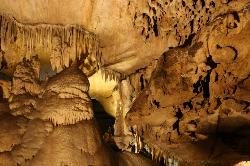
Crystal Cave
Three Rivers, California
45.6 miles NWGuided tours through Crystal Cave's marble passages, stalactites, underground streams, and glittering formations — including lantern tours and a 4-to-6-hour adventure crawl inside Sequoia National Park.
HikeNearby Campsites

Bush Creek Campground
Kernville, California
16.1 miles SWA campground between several Kern River swimming holes with modern showers, a clubhouse, shaded trails, and fishing — open year-round and rarely crowded.
Camp, Kayak, Swim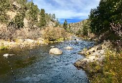
Limestone Campground
Kernville, California
16.2 miles SWA rustic oak-and-pine-shaded campground on the Kern River near a swimming hole, horse trails, kayaking, and white water rafting — no cell service, no crowds.
Camp, Kayak, Swim
Hidden Falls Campground
Springville, California
25.0 miles NWA walk-in campground along the Tule River near Sequoia Forest, with a 30-foot waterfall, seasonal swimming holes, and granite Indian Bathtubs carved by Native Americans.
Camp, Hike, Swim
Hobo Campground, California
Bakersfield, California
40.2 miles SA 35-site riverside campground on the Lower Kern River with vault toilets — no water on site, and RVs over 22 feet or trailers can't be accommodated.
Camp
Crescent Meadow in Sequoia National Park
Sequoia National Park, California
41.2 miles NWA gentle loop through giant Sequoias in Sequoia National Park, with the rare chance to stand inside a burnt-out Chimney Tree and peek into Tharp's Cabin — a historic homestead built inside a fallen giant.
Camp, Hike
Sequoia National Park
Sequoia National Park, California
42.6 miles NWGeneral Sherman — the world's largest tree by volume at 275 feet tall — anchors a national park full of giant sequoias, meadow walks, and black bear sightings.
Backpack, Camp, Hike, Rock Climb, Swim
Breckenridge Campground
Havilah, California
48.2 miles SWA rustic high-country campground on Breckenridge Mountain with picnic tables and vault restrooms — no water and no trailers, but a great base for hunting and exploring in California's backcountry.
Camp


