


Diablo Lake
Rockport, Washington
| Address: | Diablo Lake Trailhead, Rockport, WA 98283, USA |
| GPS: |
48°43'7.4"N 121°7'4.8"W Maps | Directions |
| State: | Washington |
Lakes Rivers Trails Pet Friendly Fishing National Park
Camp, Canoe, Hike, Kayak, and Swim
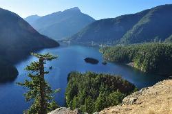
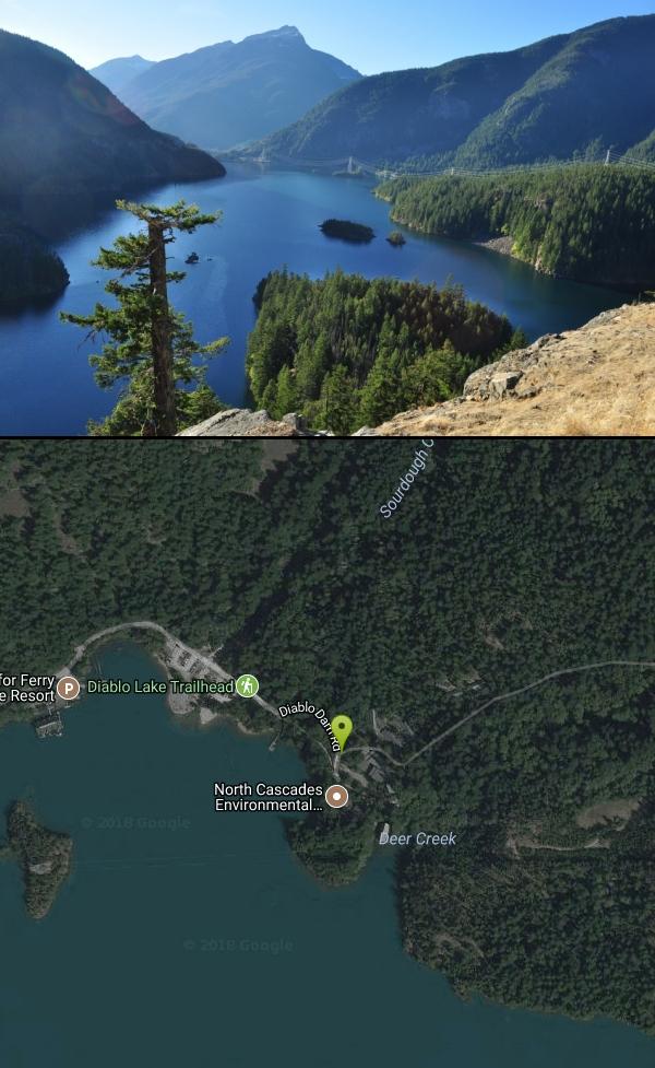
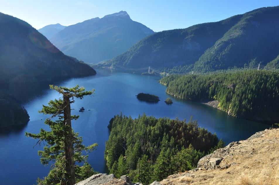
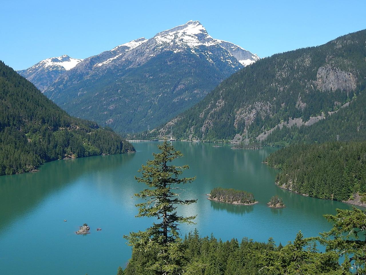
Diablo Lake is one of the most jaw-droppingly beautiful places in Washington — a reservoir of surreal turquoise water cradled by the jagged peaks of North Cascades National Park. That unreal blue-green color isn't a filter: it comes from glacial flour, the finely ground rock that surrounding glaciers grind up and wash into the lake, where it hangs suspended and scatters sunlight into vivid jade. Framed by Colonial, Pyramid, and Davis Peaks and the flanks of Sourdough Mountain, it's a scene that stops travelers in their tracks along the North Cascades Highway.
The lake is part of a chain of hydroelectric reservoirs (behind Diablo Dam, with Ross Lake and Ross Dam just upstream), built and run by Seattle City Light, yet the setting feels wonderfully wild. There's plenty to do: kayaking, canoeing, and paddleboarding on the glassy water are the signature experiences, and the lake is popular for fishing and boating, with a boat launch at the Colonial Creek area. On land, hiking trails like Thunder Knob and the Diablo Lake Trail lead to sweeping overlooks, and the famous Diablo Lake Overlook on Highway 20 delivers the classic postcard view without any hiking at all.
A serious word about swimming. Yes, you can swim — but this is glacier-fed water, and it is dangerously cold, seldom rising above about 50°F even in summer. Cold water like this can incapacitate a swimmer shockingly fast, and accidental immersion can be fatal within minutes. If you do get in, stay close to shore, keep it brief, never swim alone, and take the cold seriously — it's far more hazardous than the calm, inviting surface suggests. Life jackets are essential for any paddling.
Getting there and timing take some planning. Diablo Lake sits along the North Cascades Highway (SR 20) east of Marblemount; the highway's high stretch closes every winter for snow and avalanche danger, so the prime season is roughly late spring through early fall. Road conditions can change — sections of SR 20 have been affected by damage — so check current status before you go, though the lake and the Colonial Creek Campground area typically remain accessible from the west.
There's more to explore nearby. Diablo Lake sits within the Ross Lake National Recreation Area, and the little Seattle City Light company town of Newhalem just downstream offers a visitor center, the illuminated Ladder Creek Falls garden, and interpretive walks. Upstream, Ross Lake stretches for miles into the wilderness toward the Canadian border, making the whole Skagit River corridor a rewarding multi-day destination.
Come prepared for a mountain-park visit: bring layers for changeable weather, sun protection, and plenty of water, and stop at the North Cascades Visitor Center or the Diablo Lake Overlook for orientation. Camp at Colonial Creek for lakeside nights, paddle the turquoise water by day, and pack out everything to keep this glacial gem pristine. Few places in the country pair color and grandeur quite like Diablo Lake.
More Information
North Cascades National Park Itinerary
This North Cascades National Park Itinerary will help you get started as you plan your vacation to North Cascades National Park.
https://www.justgotravelstudios.com/collections/national-park-itineraries/products/north-cascades-national-park-itinerary?ref=9zpxis0diinDiablo Lake
Follow the Diablo Lake Trail up and across talus slopes on the flanks of Sourdough Mountain to impressive cascading waterfalls and stunning views of Ross Lake and Colonial, Pyramid, Davis Peaks, as well as Jack Mountain.
https://www.wta.org/go-hiking/hikes/diablo-lakeNorth Cascades National Park (U.S. National Park Service)
Less than three hours from Seattle, an alpine landscape beckons. Discover communities of life adapted to moisture in the west and recurring fire in the east. Explore jagged peaks crowned by more than 300 glaciers. Listen to cascading waters in forested valleys. Witness a landscape sensitive to the Earth’s changing climate. Help steward the ecological heart of the Cascades.
https://www.nps.gov/noca/index.htmBe courteous, informed, and prepared. Read trailhead guidelines, stay on the trail, and don't feed the wildlife.
Read More
- Plan Ahead and Prepare
- Travel & camp on durable surfaces
- Dispose of waste properly
- Leave what you find
- Minimize campfire impacts
- Respect wildlife
- Be considerate of other visitors
Directions
From Rockport, Washington
- Head southeast on Main St toward Alfred St (105 ft)
- Turn left onto Alfred St (0.1 mi)
- Turn right onto WA-20 EParts of this road may be closed at certain times or days(29.9 mi)
- Turn left onto Diablo Dam RdDestination will be on the left(1.3 mi)
Other Swimming Holes, Hiking Trails, Canoeing Areas, and Kayaking Areas Nearby

Ladder Creek Falls
Marblemount, Washington
6.4 miles SWA three-tiered waterfall behind Gorge Powerhouse in Newhalem, beautifully illuminated by a light show at night — popular year-round with a garden and short trail.
Hike 
Watson and Anderson Lakes
Concrete, Washington
22.0 miles WBackcountry lakes, bountiful berry patches, glacier glimpses, and an old lookout site with views of Mount Baker — short trails that are great for introducing kids to the outdoors.
Hike 
Squire Creek Park
Arlington, Washington
40.1 miles SWSwim near Arlington, Washington
Swim


