


Don Valley
Toronto, Ontario
Mountain Bike
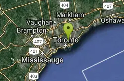
Toronto’s Don Valley is one of the largest urban trail networks anywhere. With over 70km of intermediate to advanced single track it’s possible to ride all day and not cover it all. The Don Valley’s trails are best described as varied, consisting mainly of smooth and well groomed trail sections, thanks largely to a dedicated army of local volunteer trail builders. The Don is also one of the busiest trail networks you’ll find anywhere, being in the heart of Toronto and popular with not only bikers but runners, hikers, naturalists and dog walkers it has an atmosphere all of its own.
More Information
Add ResourceNever modify trail features. Ride trails when they're dry enough that you won't leave ruts. Speak up when you see others on the trail and always yield to hikers, horses, and others coming uphill. Always ride on the established trail.
Read More
- Plan Ahead and Prepare
- Travel & camp on durable surfaces
- Dispose of waste properly
- Leave what you find
- Minimize campfire impacts
- Respect wildlife
- Be considerate of other visitors
Directions
From Toronto, Ontario
- Head north on Bay St toward Hagerman St (0.3 km)
- Turn right onto Dundas St W (0.5 km)
- Continue straight onto Dundas St E (2.0 km)
- Turn left onto the Don Valley Parkway ramp (0.2 km)
- Merge onto Don Valley Pkwy N (5.5 km)
- Take the Don Mills Road N exit (0.4 km)
- Merge onto Don Mills Rd (0.2 km)
- Turn right onto the Don Valley Parkway S ramp (0.2 km)
- Merge onto Don Valley Pkwy S (2.0 km)
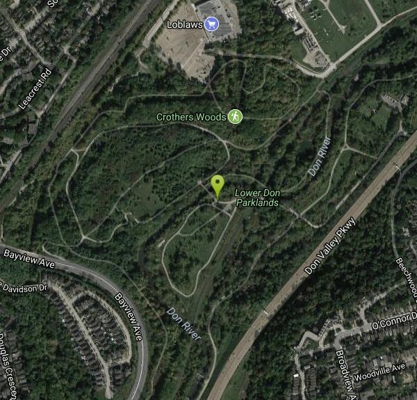
You can enter the Don from many places. The most popular entrance is the Thomas Hauser Memorial Trailhead in the parking lot of Loblaw’s 14 Redway Road.
Other Mountain Bike Trails Nearby
Martin Goodman Trail
Toronto, Ontario
4.0 miles SEA 56 km cycling and inline skating path along Toronto's full lakefront, from Humber Bay Arch Bridge in the west to the Rouge River in the east — part of the 730 km Waterfront Trail.
Mountain Bike
High Park
Toronto, Ontario
6.0 miles SWToronto's largest public park with hiking trails, sports facilities, a lakefront, a zoo, a dog park, playgrounds, greenhouses, picnic areas, and convenient transit access.
Mountain Bike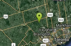
Red Trail
Caledon, Ontario
28.2 miles NWOntario's first Conservation Area, set in the Caledon Hills on the Humber River — 446 hectares packed with outdoor activities and trails.
Mountain Bike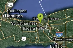
St. Lawrence Seway Land & Ruins
Niagara-on-the-Lake, Ontario
38.7 miles SA 37-kilometre multi-use trail running along the 1000 Islands Parkway corridor, concurrent with the Waterfront Trail, from Gananoque to Butternut Bay near Brockville.
Hike, Horseback, Mountain Bike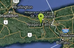
Short Hills Provincial Park
Pelham, Ontario
41.4 miles SThe Niagara Region's largest provincial park, built on a glacially formed kame moraine with steep valleys carved by meltwater — a unique geological and natural landscape to explore near Pelham, Ontario.
Canoe, Cross-country Ski, Hike, Horseback, Mountain Bike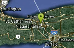
Cave Of The Winds / Niagara Gorge Wooden Stairs
Niagara Falls, Ontario
42.1 miles SGuided wooden boardwalks and stairs put you within 15 feet of Bridal Veil Falls at the base of Niagara Gorge — expect to be completely soaked on the Hurricane Deck.
Cave, Hike, Mountain Bike, Rock Climb


