


St. Lawrence Seway Land & Ruins
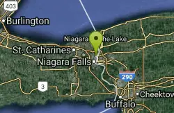
Niagara-on-the-Lake, Ontario
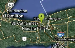
| GPS: |
43°8'57.3"N 79°11'2.1"W Maps | Directions |
| State: | Ontario |
Hike, Horseback, and Mountain Bike
The St. Lawrence Recreational Trail (SLRT) runs 37km along the 1000 Islands Parkway corridor, concurrent with the Waterfront Trail, from Gananoque to Butternut Bay near the Parkway & Hwy 401 interchange. From Butternut Bay, Brockmere Cliff Rd and Cty Rd 2 continue the Waterfront Trail route to Brockville.
More Information
Add ResourceNever modify trail features. Ride trails when they're dry enough that you won't leave ruts. Speak up when you see others on the trail and always yield to hikers, horses, and others coming uphill. Always ride on the established trail.
Read MoreBe courteous, informed, and prepared. Read trailhead guidelines, stay on the trail, and don't feed the wildlife.
Read More- Plan Ahead and Prepare
- Travel & camp on durable surfaces
- Dispose of waste properly
- Leave what you find
- Minimize campfire impacts
- Respect wildlife
- Be considerate of other visitors
Directions
From Niagara-on-the-Lake, Ontario
- Head southwest on Gate St toward Gage St (26 m)
- Turn right at the 1st cross street onto Gage St (0.3 km)
- Turn left at the 2nd cross street onto Mississagua St (1.0 km)
- Continue onto Niagara Stone Rd/Regional Rd 55 (12.4 km)
- Continue onto Queenston St/Taylor Rd/Regional Rd 70 (1.0 km)
- Turn right onto Homer Rd/Regional Rd 58 (1.3 km)
- Turn right onto Glendale Ave/Regional Rd 89 (0.5 km)
- Turn right onto Seaway Haulage RoadRestricted usage roadDestination will be on the right(0.1 km)
From Butternut Bay, Brockmere Cliff Rd and Cty Rd 2 continue the Waterfront Trail route to Brockville.

Other Mountain Bike Trails, Hiking Trails, and Horseback Trails Nearby
Cave Of The Winds / Niagara Gorge Wooden Stairs
Niagara Falls, Ontario
5.9 miles ECave Of The Winds is located on Goat Island within Niagara Falls State Park in Niagara Falls, New York. A guide will lead tourists on an exhilarating adventure to the base of the Niagara Gorge and...
Cave, Hike, Mountain Bike, Rock Climb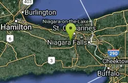
Short Hills Provincial Park
Pelham, Ontario
6.3 miles SWShort Hills Provincial Park is the largest park in the Niagara Region. It's part of an environmentally significant area known as the Fonthill Kame Moraine. A kame is an irregular hill of sand,...
Canoe, Cross-country Ski, Hike, Horseback, Mountain Bike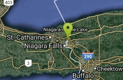
Niagara Gorge - Steel Stairs
Niagara Falls, Ontario
6.8 miles ENiagara Glen is the largest developed bouldering area in Southern Ontario. While it's just a few miles from the touristy chaos that is Niagara Falls, it's a world apart. Hundreds of boulders...
Cave, Hike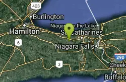
Balls Falls Conservation Area
Lincoln, Ontario
10.1 miles WWhether it’s your first experience or a return visit, Ball’s Falls offers natural beauty and wildlife at its best, spectacular vistas from the Niagara Escarpment, and the breathtaking...
Hike
Wainfleet Quarry
Port Colborne, Ontario
19.4 miles SThe Wainfleet Quarry has some amazing and fascinating history. It started a long time ago. About 300 million years ago, the Wainfleet Quarry looked a lot different than it does today. In fact, it...
Canoe, Cross-country Ski, Hike, Horseback, Mountain Bike
Sherkston Quarry
Port Colborne, Ontario
19.5 miles SThe Sherkston quarry lake is part of the "Sherkston Shores" vacation resort, a premier RV and Vacation Home resort, Sherkston Shores is situated on the beautiful shores of Lake Erie, Ontario, an...
Camp, Canoe, Cross-country Ski, Hike, Horseback, Mountain Bike
Beamers Falls Conservation Area
Grimsby, Ontario
19.9 miles WBeamer Falls Memorial Conservaton Area is one of the most beautiful and scenic areas in Niagara. It is in fact the highest point of the Niagara Escarpment with a triangulation point to prove it. It...
Hike
Eramosa Karst
Hamilton, Ontario
31.8 miles WThe Eramosa Karst is the Hamilton Conservation Authority's newest conservation area. Filled with underground caves and streams, meadows and forests, this is one of the watershed's unique...
Cave, Hike 0.3 mi
Albion Falls
Hamilton, Ontario
32.2 miles WAlbion Falls is located just outside of Hamilton, Ontario, Canada and is one of the most scenic hikes in Eastern Canada just outside of a large city. It is frequently visited from people all...
Hike
Martin Goodman Trail
Toronto, Ontario
36.3 miles NThe Martin Goodman Trail is a 56 km cycling and inline skating path along the waterfront in Toronto, Ontario, Canada. It traverses the entire lake shore from one end of the city to the other, from...
Mountain Bike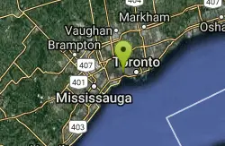
High Park
Toronto, Ontario
37.6 miles NHigh Park is Toronto's largest public park featuring many hiking trails, sports facilities, diverse vegetation, a beautiful lakefront, convenient parking, easy public transit access, a dog park,...
Mountain Bike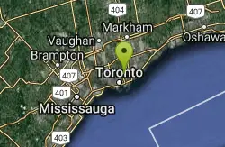
Don Valley
Toronto, Ontario
38.7 miles NToronto’s Don Valley is one of the largest urban trail networks anywhere. With over 70km of intermediate to advanced single track it’s possible to ride all day and not cover it all. The...
Mountain Bike
Borers Falls
Hamilton, Ontario
39.0 miles WBorer's Falls is a 15 metre high curtain style waterfall whose source is nearby Borer's Creek. It is located at the Borer's Falls Conservation Area in Dundas, and has a year-round flow.
Hike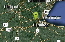
Inflow Bike & Skatepark
Hamilton, Ontario
40.7 miles WINFLOW BIKE AND SKATEPARK LTD. IS A 10000 SQFT INDOOR FACILITY, COMMITTED TO PROVIDING A SAFE AND SUPERVISED ENVIRONMENT. Recommended for youths and adults (ages 8 and up) to progress and most...
Hike, Rock Climb, Swim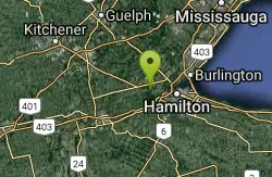
Grimley Grist Mill
Hamilton, Ontario
42.3 miles WCanoe, Hike, and Horseback near Hamilton, Ontario
Canoe, Hike, Horseback


