


High Park
Toronto, Ontario
Mountain Bike
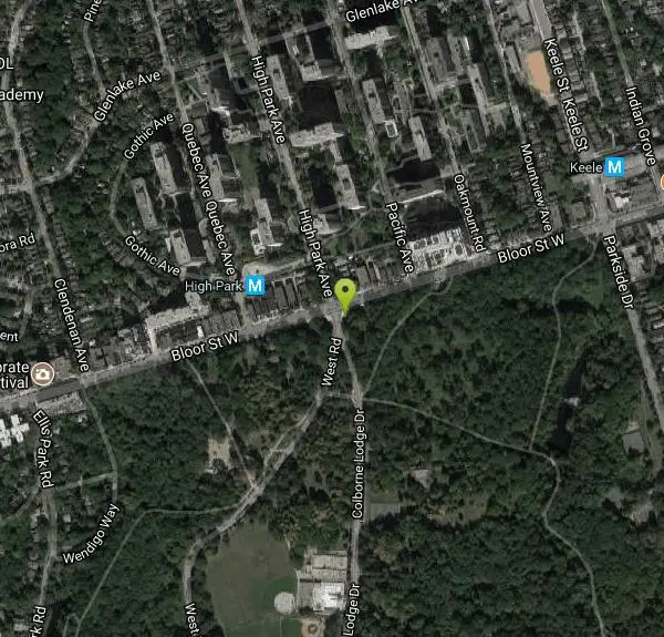
High Park is Toronto's largest public park featuring many hiking trails, sports facilities, diverse vegetation, a beautiful lakefront, convenient parking, easy public transit access, a dog park, a zoo, playgrounds for children, a couple of eateries, greenhouses, picnic areas, a bunch of squirrels and various events throughout the year.
More Information
High Park Toronto
Information about High Park in Toronto, Ontario. Waterfront, picnic areas, off leash dog park, sports, parking and map.
https://www.highparktoronto.com/Never modify trail features. Ride trails when they're dry enough that you won't leave ruts. Speak up when you see others on the trail and always yield to hikers, horses, and others coming uphill. Always ride on the established trail.
Read More
- Plan Ahead and Prepare
- Travel & camp on durable surfaces
- Dispose of waste properly
- Leave what you find
- Minimize campfire impacts
- Respect wildlife
- Be considerate of other visitors
Directions
From Toronto, Ontario
- Head south on Bay St toward Albert St (0.1 km)
- Slight left to stay on Bay St (1.1 km)
- Turn right onto Lake Shore Blvd W (0.2 km)
- Slight right toward Gardiner Expy W (0.1 km)
- Take the Gardiner Expressway W ramp (0.3 km)
- Merge onto Gardiner Expy W (3.6 km)
- Take the Jameson Avenue exit (0.3 km)
- Merge onto Lake Shore Blvd W (1.7 km)
- Turn right onto Parkside Dr (signs for Parkside Drive) (2.0 km)
- Turn left onto Bloor St W (0.4 km)
- Turn left onto Colborne Lodge DrDestination will be on the left(21 m)
Subway: Get off at High Park station on the Bloor-Danforth subway line between Keele and Runnymede stations. The park's north entrance is a two minute walk from the station.
Streetcar: Take the 508 Lakeshore streetcar and get off at the Parkside or Colborne Lodge stops or take the 506 Carlton streetcar all the way to the High Park loop by Parkside Drive.
Bus: Take the 80 Queensway bus route which runs between Keele subway station and Sherway Gardens. Get off at the Howard Park Avenue stop on Parkside Road.
Other Mountain Bike Trails Nearby
Don Valley
Toronto, Ontario
6.0 miles NEOver 70km of intermediate to advanced singletrack weaving through Toronto's Don Valley — one of the busiest and most varied urban trail networks anywhere.
Mountain Bike
Martin Goodman Trail
Toronto, Ontario
8.9 miles EA 56 km cycling and inline skating path along Toronto's full lakefront, from Humber Bay Arch Bridge in the west to the Rouge River in the east — part of the 730 km Waterfront Trail.
Mountain Bike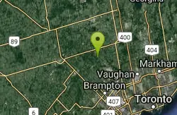
Red Trail
Caledon, Ontario
26.2 miles NWOntario's first Conservation Area, set in the Caledon Hills on the Humber River — 446 hectares packed with outdoor activities and trails.
Mountain Bike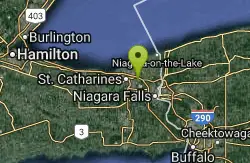
St. Lawrence Seway Land & Ruins
Niagara-on-the-Lake, Ontario
37.6 miles SA 37-kilometre multi-use trail running along the 1000 Islands Parkway corridor, concurrent with the Waterfront Trail, from Gananoque to Butternut Bay near Brockville.
Hike, Horseback, Mountain Bike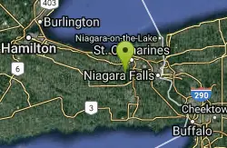
Short Hills Provincial Park
Pelham, Ontario
39.4 miles SThe Niagara Region's largest provincial park, built on a glacially formed kame moraine with steep valleys carved by meltwater — a unique geological and natural landscape to explore near Pelham, Ontario.
Canoe, Cross-country Ski, Hike, Horseback, Mountain Bike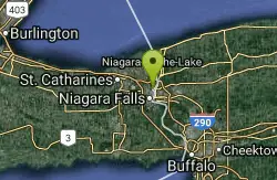
Cave Of The Winds / Niagara Gorge Wooden Stairs
Niagara Falls, Ontario
41.7 miles SEGuided wooden boardwalks and stairs put you within 15 feet of Bridal Veil Falls at the base of Niagara Gorge — expect to be completely soaked on the Hurricane Deck.
Cave, Hike, Mountain Bike, Rock Climb


