


Duck Lake State Park
Whitehall
Canoe, Hike, Kayak, and Swim
Duck Lake State Park covers about 728 acres in Fruitland Township, Muskegon County, and is run by the Michigan Department of Natural Resources from 4733 North Scenic Drive in Whitehall. The DNR calls it a day-use park, and it sits on two bodies of water at once. Duck Lake is the inland one, running east from the shoreline. A shallow channel at its west end slips under the North Scenic Drive bridge and empties into Lake Michigan.
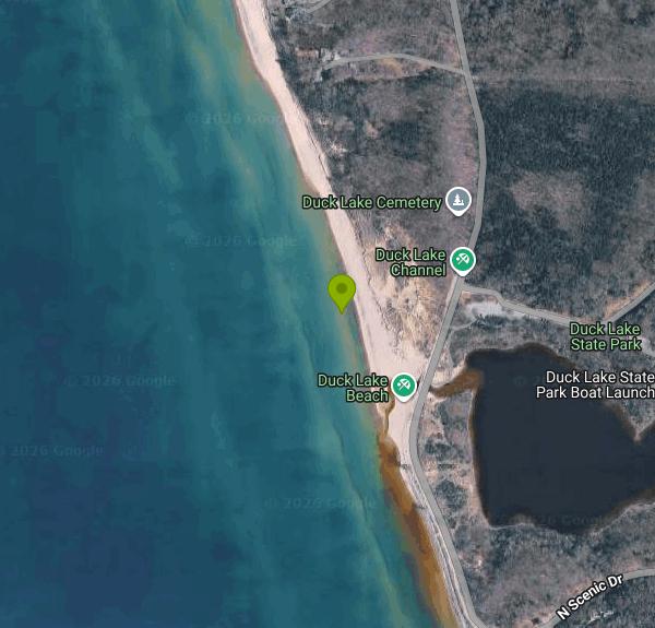
Getting the two sides straight matters here. The beach most people mean is on the Lake Michigan side, west of Scenic Drive, along the half mile of shoreline the park owns. The Duck Lake side holds the picnic area, the boating access site and a carry-in launch. Two parking lots serve the park, one per side, and a boardwalk runs under Scenic Drive to link them. The DNR states plainly that Duck Lake does not provide access to Lake Michigan, so the channel is for wading and looking, not for boats.
Both beaches are sand, and the strip at the channel mouth is mapped as sand as well. No lifeguard works here. Michigan state parks do not staff them at all, which the DNR says outright on its beach safety page, and the agency leans instead on buoyed swim areas and the Great Lakes flag warning system. Buoys go in seasonally and can be delayed by ice. When they are absent, the DNR does not treat the water as a designated swim area. Lake Michigan here is open shoreline with the currents that come with it.
Entry runs on the Recreation Passport rather than a gate fee. A Michigan-registered vehicle pays $15 for the year when the passport is bought at license plate renewal, or $29 for two years; motorcycles are $7. Out-of-state plates pay $42 annually or $12 for the day. Buying at the park adds a $5 convenience fee, and Duck Lake is one of the handful of parks with a self-serve kiosk for it. Day-use hours are 8 a.m. to 10 p.m. daily. The park closes to motor vehicles in winter, though skis and snowmobiles can still get in.
Water quality in Muskegon County is handled by the county Environmental Health program together with Grand Valley State University's Annis Water Resources Institute. They sample 29 public beaches for E. coli through the high-use season and post next-day results to BeachGuard, the state beach monitoring database, which EGLE moved into its MiEnviro Portal. Whether this particular beach appears on that roster in a given year is worth checking on BeachGuard before a trip, since the sampled list changes.
The land came to the state through Boy Scout organizations and The Nature Conservancy, with Michigan taking possession in 1974. The old scout camp buildings were pulled out, the park was dedicated in 1988, and a new entrance was finished in 2005. Behind the shoreline the dunes climb into mature forest and pine plantation with pockets of open meadow between, enough cover that the DNR flags it as nesting and stopover habitat for Cerulean and hooded warblers. Seven miles of natural surface trail run through that. There is an accessible pavilion in the day-use area with picnic tables, charcoal grills and electrical service, bookable a year out through MiDNRReservations.com, plus a modern restroom that is not itself accessible. Kayak rentals operate in season. Dogs are allowed along the whole Lake Michigan shoreline and on Duck Lake.
More Information
Beach Water Monitoring | Muskegon County, MI
Check beach water quality in Muskegon County. View E. coli testing, advisories and results for 29 public beaches during the high-use season.
https://co.muskegon.mi.us/814/Beach-Water-MonitoringCheck for beach closures and alerts (BeachGuard)
Find out if a beach near you has advisories or closures that affect your swimming plans
https://www.michigan.gov/egle/maps-data/mienviroportal/beachguardGreat Lake Beach Safety
Great Lake Beach Safety
https://www.michigan.gov/dnr/education/safety-info/beach-safetyBe courteous, informed, and prepared. Read trailhead guidelines, stay on the trail, and don't feed the wildlife.
Read More
- Plan Ahead and Prepare
- Travel & camp on durable surfaces
- Dispose of waste properly
- Leave what you find
- Minimize campfire impacts
- Respect wildlife
- Be considerate of other visitors
Directions
From Whitehall
- Head north toward S Yearling Rd (82 ft)
- Turn left onto S Yearling Rd (0.6 mi)
- Turn right onto OH-16 E/
E Broad St (1.7 mi) - Take the ramp onto I-270 N (3.8 mi)
- Keep left to stay on I-270 N (0.8 mi)
- Keep left to stay on I-270 N (11.0 mi)
- Take exit 23 for US-23 N toward Delaware (0.4 mi)
- Slight right onto US-23 N (138 ft)
- Keep left to continue on US-23 (58.5 mi)
- Keep right to stay on US-23 N, follow signs for Toledo (7.5 mi)
- Continue onto OH-15 W (14.4 mi)
- Continue onto OH-15 W/
US-68 N (2.5 mi) - Take the exit onto I-75 N/
OH-15 W toward OH-15 W/ Toledo Continue to follow I-75 N(35.3 mi) - Take exit 192 on the left to merge onto I-475 N/
US-23 N toward Maumee/ Ann Arbor (13.6 mi) - Keep left to continue on US-23 N, follow signs for Sylvania/
Ann Arbor Entering Michigan(39.1 mi) - Continue onto I-94BL/
US-23 N (1.5 mi) - Continue onto US-23 N (4.8 mi)
- Take the exit onto M-14 W/
US-23 N toward Flint (2.6 mi) - Keep right to continue on US-23 N (14.7 mi)
- Take exit 60B on the left to merge onto I-96 W toward Lansing (56.9 mi)
- Keep left to stay on I-96 W (53.6 mi)
- Keep right to continue on I-96 W/
M-37 N, follow signs for Interstate 96/ Muskegon Continue to follow I-96 W(36.8 mi) - Take exit 1B to merge onto US-31 N toward Muskegon/
Ludington (10.8 mi) - Take exit 121 for Co Hwy B23/
Russell Rd (0.4 mi) - Turn left onto Russell Rd (0.3 mi)
- Turn right onto W Bard Rd (1.7 mi)
- Turn right onto Whitehall Rd (0.6 mi)
- Turn left onto Duck Lake Rd (6.5 mi)
- Turn right onto N Scenic Dr (0.9 mi)
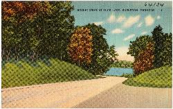
 Duck Lake from Scenic Drive on a Tichnor Brothers linen postcard printed between about 1930 and 1945 courtesy of Tichnor Brothers, Publisher↗ (Public domain↗)
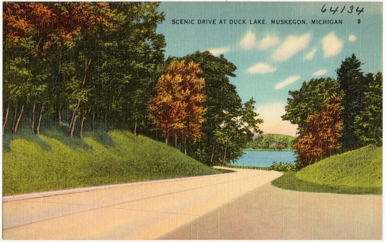
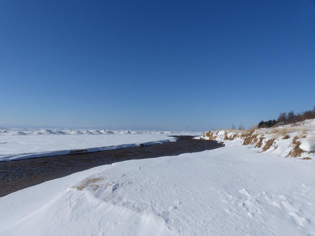
 The outlet channel that carries Duck Lake under North Scenic Drive and out to Lake Michigan. courtesy of John Winkelman↗ (CC BY 2.0↗)
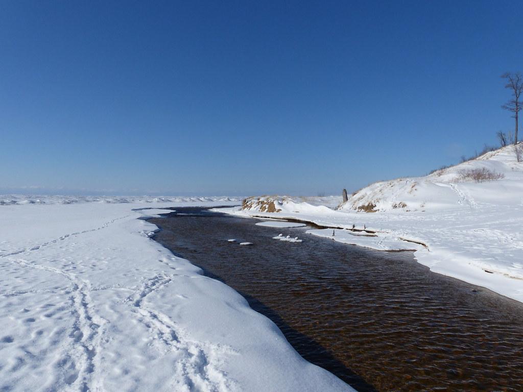
 Where the channel meets Lake Michigan, with the big lake iced over in February. courtesy of John Winkelman↗ (CC BY 2.0↗)
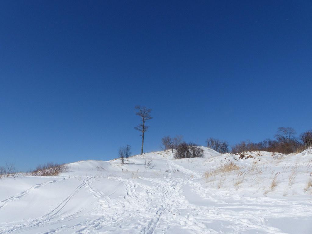
 Dunes rising behind the Lake Michigan shoreline inside the park. courtesy of John Winkelman↗ (CC BY 2.0↗)
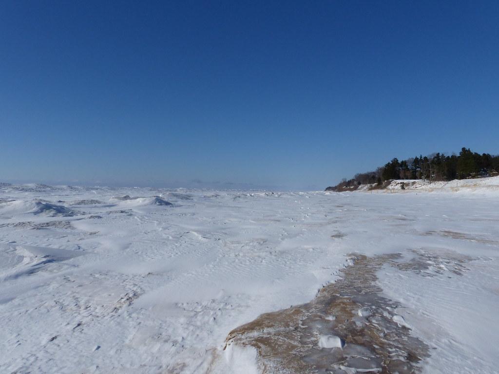
 Looking north up the Lake Michigan shoreline from the park's beach. courtesy of John Winkelman↗ (CC BY 2.0↗)
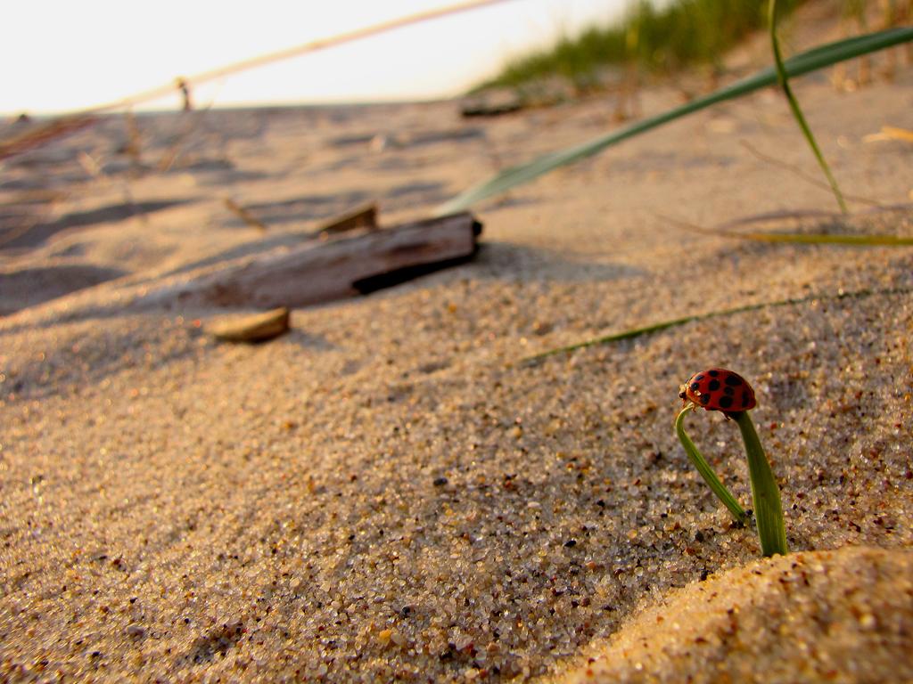
 A ladybug on summer growth in the park, geotagged just inland of the Lake Michigan beach. courtesy of Wendy Piersall↗ (CC BY 2.0↗)
Other Swimming Holes, Hiking Trails, Canoeing Areas, and Kayaking Areas Nearby
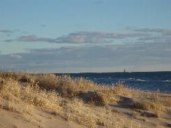
Muskegon State Park Beach
North Muskegon
8.1 miles SEBuoyed Lake Michigan swim beach in Muskegon State Park's day-use area, just north of the Muskegon harbor channel. A Michigan Recreation Passport is required; no lifeguards.
Camp, Hike, Kayak, Swim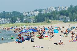
Holland State Park
Holland
40.5 miles SA quarter mile of fine Lake Michigan sand four miles west of Holland, with a second, warmer swim beach on Lake Macatawa just across the road. No lifeguards, a navigation channel pier at the south end, and a live public camera so you can check the water be
Camp, Canoe, Hike, Kayak, Swim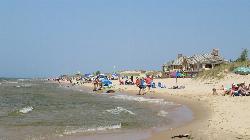
Ludington State Park Lake Michigan Beach
Ludington
47.9 miles NTwo very different swimming beaches sit inside Ludington State Park. This is the Lake Michigan side: open, cold water with no lifeguards, a flag warning system that can legally close the water, and a river outlet that has drowned swimmers.
Camp, Canoe, Hike, Kayak, Swim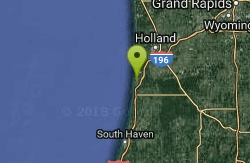
Saugatuck
Douglas, Michigan
48.9 miles SPremier Michigan beach towns nestled among towering sand dunes along the Kalamazoo River, leading to Lake Michigan — Oval Beach has been ranked among the best shorelines in the world.
SwimNearby Campsites
Muskegon State Park Beach
North Muskegon
8.1 miles SEBuoyed Lake Michigan swim beach in Muskegon State Park's day-use area, just north of the Muskegon harbor channel. A Michigan Recreation Passport is required; no lifeguards.
Camp, Hike, Kayak, Swim
Holland State Park
Holland
40.5 miles SA quarter mile of fine Lake Michigan sand four miles west of Holland, with a second, warmer swim beach on Lake Macatawa just across the road. No lifeguards, a navigation channel pier at the south end, and a live public camera so you can check the water be
Camp, Canoe, Hike, Kayak, Swim
Ludington State Park Lake Michigan Beach
Ludington
47.9 miles NTwo very different swimming beaches sit inside Ludington State Park. This is the Lake Michigan side: open, cold water with no lifeguards, a flag warning system that can legally close the water, and a river outlet that has drowned swimmers.
Camp, Canoe, Hike, Kayak, Swim


