


Frankfort Lake Michigan Beach
Frankfort
Hike and Swim
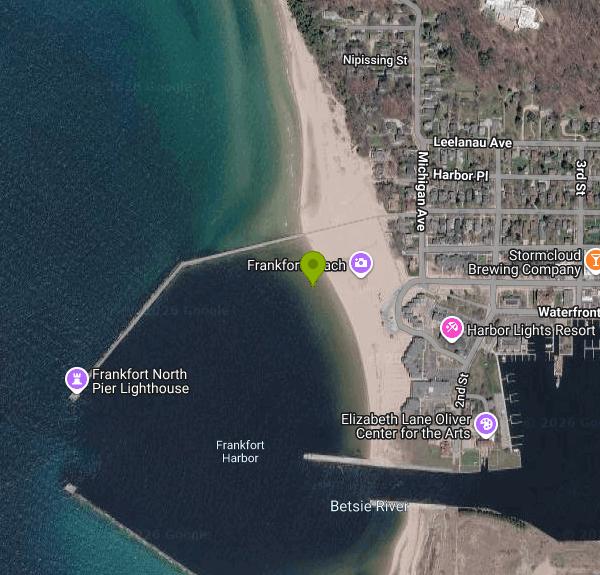
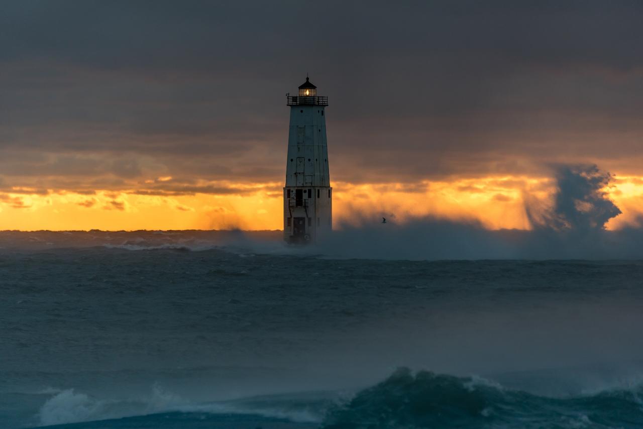
Frankfort Lake Michigan Beach is the City of Frankfort's main public beach, listed by the city simply as Lake Michigan Beach. The city rates it a 15.5-acre regional park, and its own recreation plan says it is the most-used park in town. It runs north along Lake Michigan from the harbor entrance where Betsie Lake drains through the twin federal breakwaters, and the Frankfort North Breakwater Light stands at the end of the north pier. The beach sits in Benzie County, a short walk west of downtown Frankfort.
To get there, follow Main Street west through downtown until it ends at the water. A city lot sits at the foot of Main Street beside the beach, and there is more parking on downtown streets and near Father Charlevoix (Cannon) Park a block east, where the paved Betsie Valley Trail begins. The lot is the busiest one the city runs and it fills early on summer weekends, so walking or biking in from town is often quicker. Concrete ADA walkways lead from the road onto the sand and out toward the pier.
The swim area is open Lake Michigan surf on a wide, soft sand beach that faces due west. The bottom is sand and shelves gradually near shore, but this is big-lake water: it stays cold well into July, waves build quickly on a west wind, and rip and structural currents form along the breakwater. No lifeguard staffing is mentioned anywhere on the city's site. Instead the city runs two SwimSmart warning lights, one at the beach entrance and one at the start of the pier, that change color with the National Weather Service swim risk forecast. Treat a red light as a reason to stay out of the water and off the pier. The city's pier safety project, started in 2000 after a 15-year-old drowned off the Frankfort pier, added life rings, call boxes and warning signs along the pier.
Using the beach costs nothing. The city lists no admission charge, beach pass or parking fee, and the park is open to anyone, residents or not. Local health officials sample the water during summer and occasionally post short partial-contact advisories after E. coli spikes, usually following heavy rain; check Michigan's BeachGuard results before swimming after a storm. Dogs are allowed only on the beach north of Miami Street and on the concrete walkways, on a leash no longer than six feet, and no animals are allowed on the beach at all on July 4.
Beyond the water, the park has a playground, beach swings and benches, sand volleyball courts and the dog run at the north end. The current restroom building stands next to the parking lot. The city has been working on a new restroom building near Miami Street, so check for construction fencing in the off season. Walking the north pier to the lighthouse at sunset is the town's signature outing, but the concrete sits just above the water and gets swept by waves in storms, so stay off it when the warning light is red. The bluffs of Tank Hill and the dunes to the north frame the view, and Elberta Beach is across the harbor mouth to the south.
More Information
Beachfront bathroom on the move | Local News | record-eagle.com
FRANKFORT — Intense public opposition to a beachfront bathroom project prompted the Frankfort City Council to change course, marking the latest chapter in the ongoing drama.
https://www.record-eagle.com/news/local_news/beachfront-bathroom-on-the-move/article_d558bb64-e563-11ee-abd0-1fad6eb1ab8e.htmlFrankfort Beach Installs Pilot Program Warning System Lights For Beachgoers – 9and10News.com
As the summer season approaches, the City of Frankfort is adopting a new pilot program to keep their beach visitors safe. It’s called the Swimsmart Warning System, and was developed by Michigan Tech graduate Jacob Soter and his professor, Dr. Andrew Barnard. Soter was inspired to create SwimSmart by the flag system beaches have to warn of conditions of the…
https://www.9and10news.com/2021/06/07/frankfort-beach-installs-pilot-program-warning-system-lights-for-beachgoers/UPDATE: Frankfort Beach and Clinch Park OK'd for swimming | Local News | record-eagle.com
TRAVERSE CITY — Updated water sampling declared Frankfort Beach and Clinch Park safe for swimming, according to county health departments.
https://www.record-eagle.com/news/local_news/update-frankfort-beach-and-clinch-park-okd-for-swimming/article_4bf6ebde-8de0-4e69-a080-854af2e308a0.htmlBe courteous, informed, and prepared. Read trailhead guidelines, stay on the trail, and don't feed the wildlife.
Read More
- Plan Ahead and Prepare
- Travel & camp on durable surfaces
- Dispose of waste properly
- Leave what you find
- Minimize campfire impacts
- Respect wildlife
- Be considerate of other visitors
Directions
From Frankfort
- Head north on Thomas Pl toward W 2nd St (10 ft)
- Turn left onto W 2nd St (0.2 mi)
- Merge onto Louisville Rd (1.6 mi)
- Turn left onto Lawrenceburg Rd/
U.S. 127 S/ U.S. Hwy 127 S Continue to follow Lawrenceburg Rd/U.S. 127 S Pass by Fazoli's (on the right in 1.3 mi)(1.4 mi) - Merge onto I-64 W via the ramp to Louisville (34.0 mi)
- Take exit 19B for I-265 N/
KY-841 N/ Gene Snyder Fwy toward 19B (0.3 mi) - Merge onto I-265/
KY-841 E/ Gene Snyder Fwy Continue to follow I-265Toll roadEntering Indiana(19.1 mi) - Take exit 34A to merge onto I-65 N toward Indianapolis (100 mi)
- Take exit 106 for I-465 E/
I-74 E toward Cincinnati (0.5 mi) - Merge onto I-465 E/
I-69/ I-74 Continue to follow I-465 EParts of this road may be closed at certain times or days(19.3 mi) - Take exit 33 for Keystone Ave (0.4 mi)
- Slight right onto the ramp to Carmel (184 ft)
- Turn right onto N Keystone Ave (0.3 mi)
- Continue onto Keystone Pkwy (5.3 mi)
- Merge onto US-31 N (4.3 mi)
- Keep left to stay on US-31 N (114 mi)
- Take exit 246B to merge onto US-20 W/
US-31 N toward Niles/ Michigan City/ Airport Continue to follow US-31 NEntering Michigan(38.9 mi) - Take the exit onto I-94 E (1.3 mi)
- Take exit 34 for I-196 N/
US-31 N toward Holland/ Grand Rapids (1.2 mi) - Continue onto I-196 N/
US-31 N (44.1 mi) - Take exit 44 on the left for US-31/
I-196BL toward Holland/ Muskegon (1.3 mi) - Continue onto I-196BL E/
US-31 N Continue to follow US-31 NPass by Burger King (on the right in 23.6 mi)(92.1 mi) - Take exit 170A for US-10 E/
US-31 toward Clare/ Traverse City (0.4 mi) - Turn right onto US-10 E/
US-31 N (4.5 mi) - Turn left onto US-31 NPass by Burger King (on the left in 22.4 mi)(26.3 mi)
- At the traffic circle, take the 3rd exit onto M-22 (28.9 mi)
- Turn left onto Main St (1.1 mi)
- Continue onto Fr Marquette Cir (203 ft)
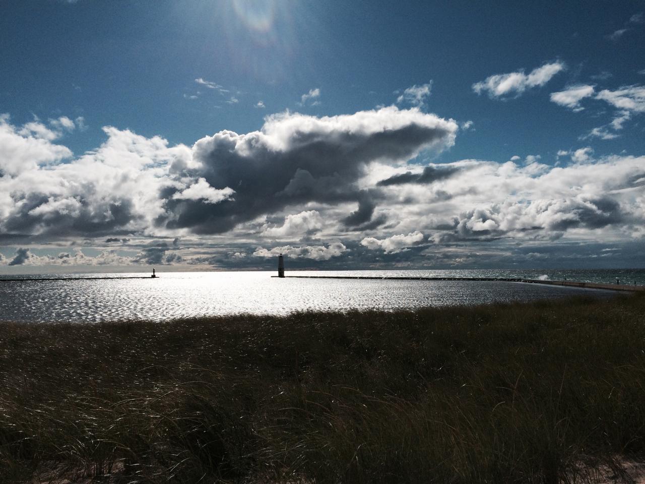
 Sand and surf at Frankfort's Lake Michigan beach beside the pier walkway. courtesy of NOAA Great Lakes Environmental Research Laboratory↗ (CC BY-SA 2.0↗)
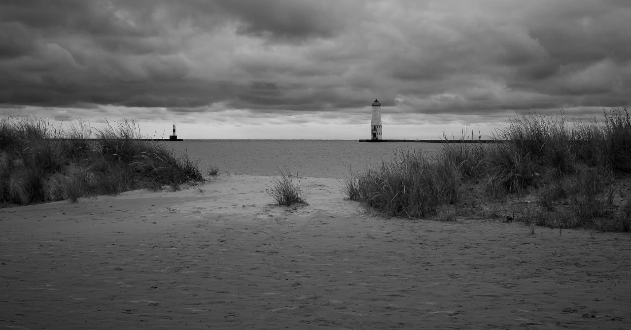
 A sandy path through the dune grass at Frankfort beach, looking out to the North Breakwater Light. courtesy of Bailiwick Studios↗ (CC BY-SA 2.0↗)
 Dune grass on Frankfort beach with the north pier and lighthouse beyond. courtesy of Caitriana Nicholson from 北京 ~ Beijing, 中国 ~ China↗ (CC BY-SA 2.0↗)
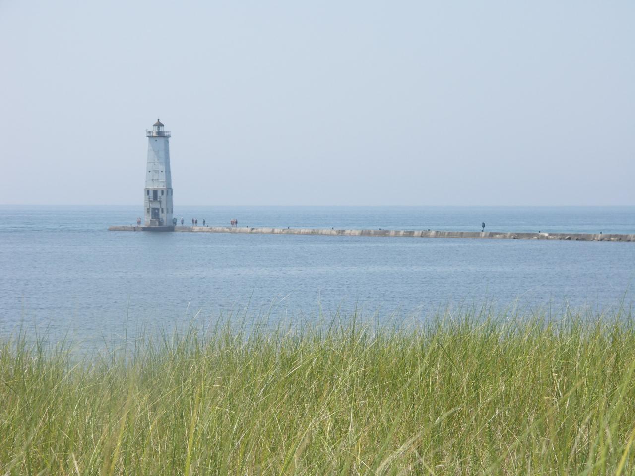
 The harbor entrance and breakwater lights seen from the dunes at Frankfort beach. courtesy of NOAA Great Lakes Environmental Research Laboratory↗ (CC BY-SA 2.0↗)
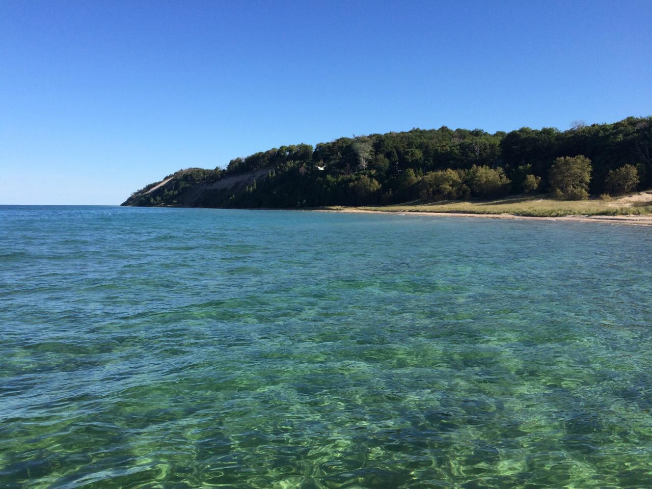
 Visitors walking the north pier out to the Frankfort North Breakwater Light. courtesy of E's Adventures in Life from USA! Where else could you live that would be this good!↗ (CC BY 2.0↗)
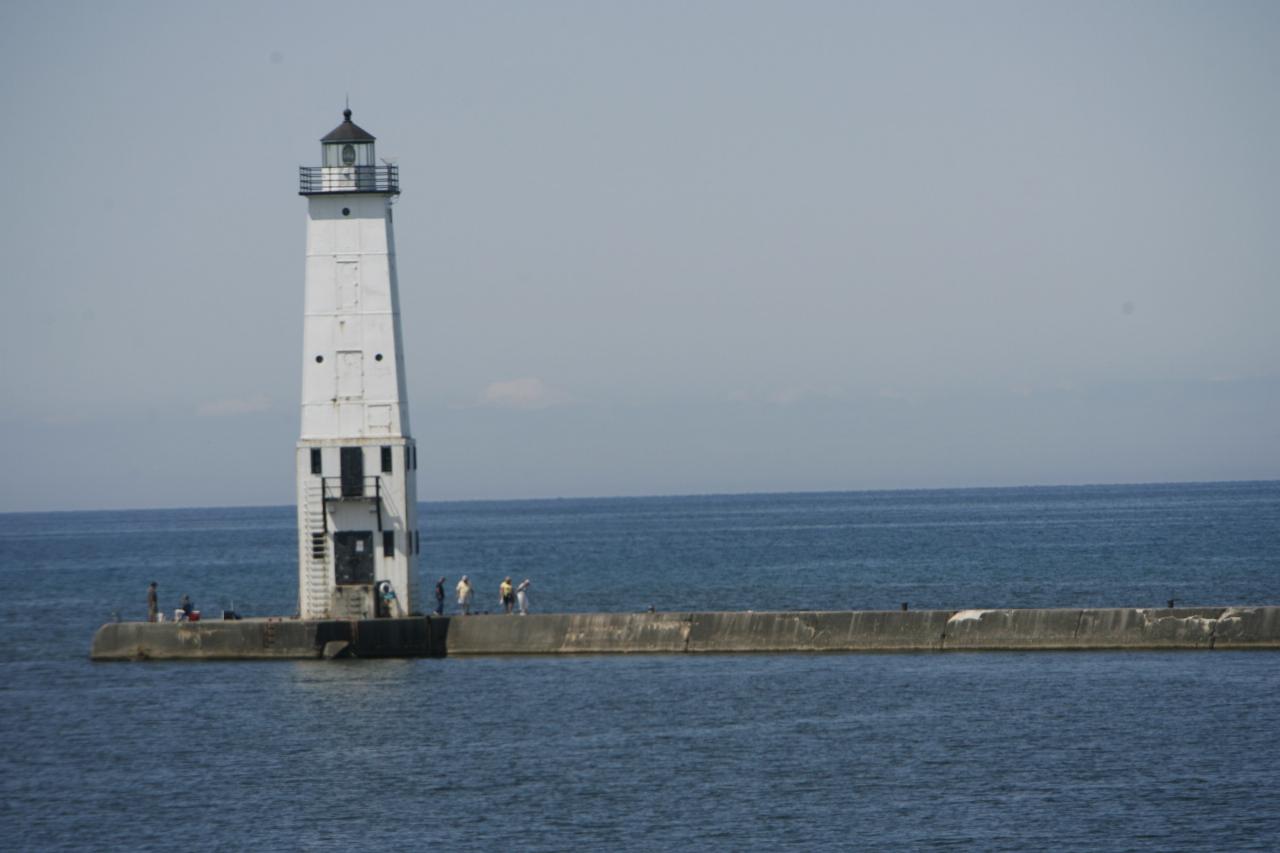 The Frankfort North Breakwater Light at the end of the pier off the beach. courtesy of TCP04↗ (CC BY 4.0↗)
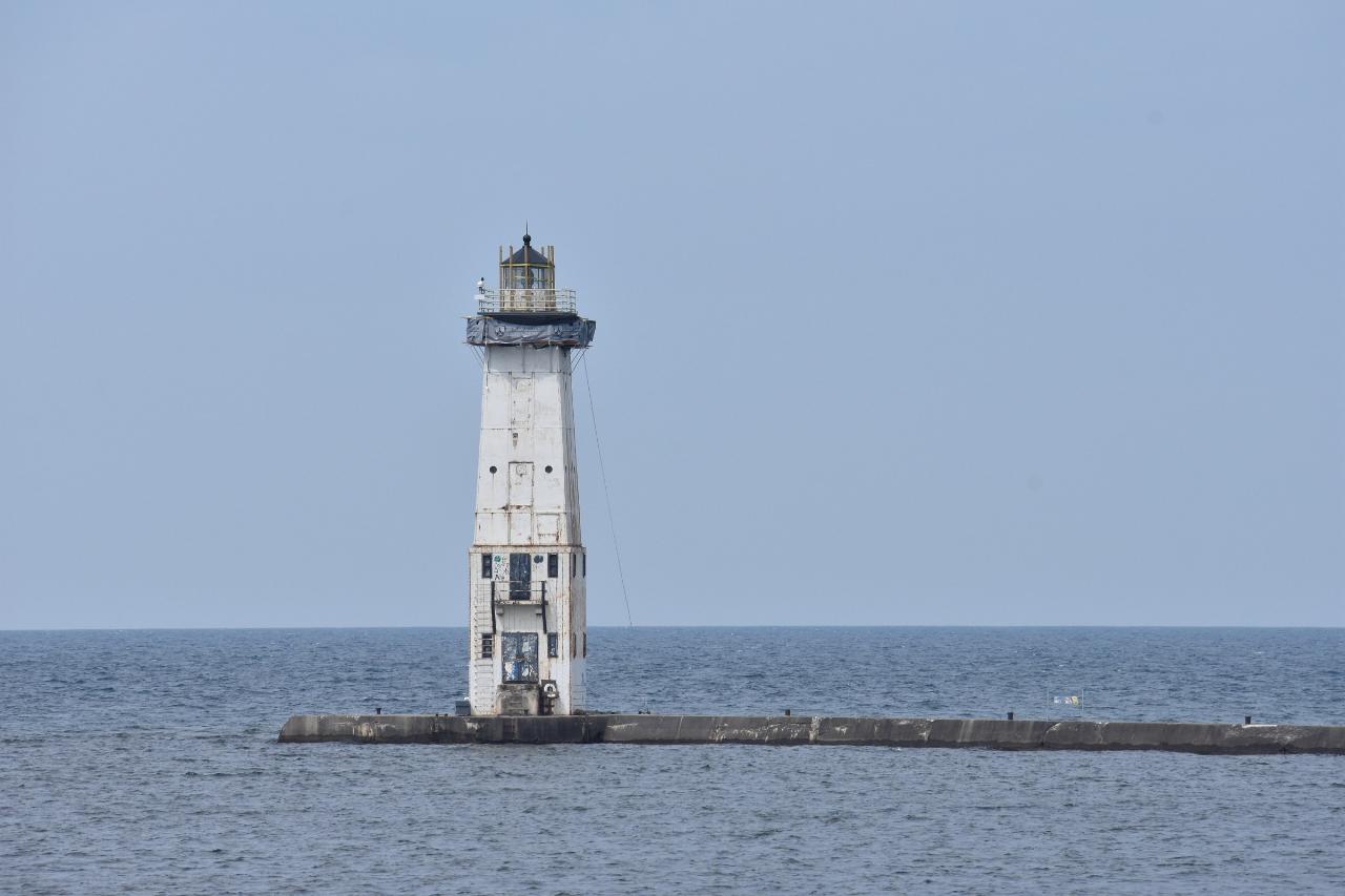 Storm waves breaking over the North Breakwater Light at sunset, seen from the beach. courtesy of Jim Sorbie↗ (CC BY 2.0↗)
Other Swimming Holes and Hiking Trails Nearby
Beulah Public Beach
Beulah
7.4 miles EA free village beach at the east end of Crystal Lake, with several hundred feet of sand and a marked swim area that shelves out shallow and warm. The Village of Beulah owns it and charges nothing to swim or to park, but dogs are banned and the weekly E. c
Canoe, Hike, Kayak, Swim
Sleeping Bear
Honor, Michigan
8.1 miles NESwim near Honor, Michigan
Swim
North Bar Lake
Empire
17.1 miles NEA small, shallow inland lake in Sleeping Bear Dunes National Lakeshore near Empire, warmer than Lake Michigan and separated from it by a low sand bar you can walk across in a couple of minutes.
Canoe, Kayak, Swim
West End Beach
Traverse City
31.5 miles EA free city beach on the West Arm of Grand Traverse Bay, along Grandview Parkway just west of downtown Traverse City, with open Lake Michigan bay water, sand volleyball and the TART Trail behind it.
Swim
Ludington State Park Lake Michigan Beach
Ludington
43.5 miles STwo very different swimming beaches sit inside Ludington State Park. This is the Lake Michigan side: open, cold water with no lifeguards, a flag warning system that can legally close the water, and a river outlet that has drowned swimmers.
Camp, Canoe, Hike, Kayak, Swim
Dam Beach
Elk Rapids
44.8 miles NEFree Village of Elk Rapids beach on East Grand Traverse Bay beside the Elk Rapids hydroelectric dam, with a sandy bottom, a small lot off Dam Road, and a busy fishing spot at the river mouth.
Kayak, Swim


