


Dam Beach
Elk Rapids
Kayak and Swim
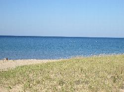
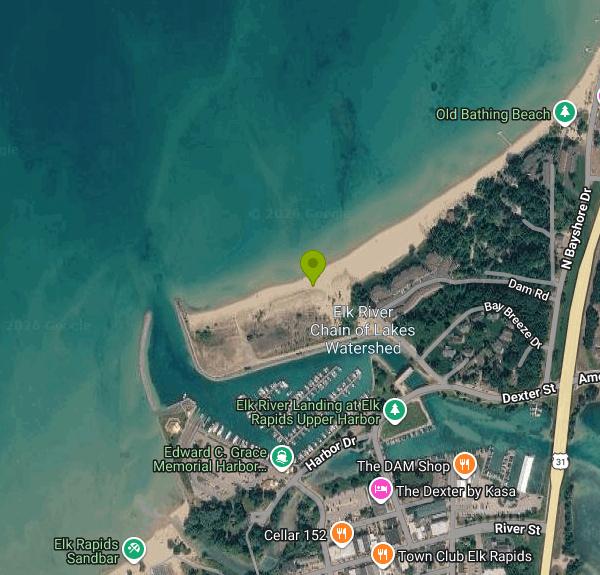
Dam Beach is a small sand beach on the East Arm of Grand Traverse Bay in Elk Rapids, Michigan, sitting right beside the brick powerhouse of the Elk Rapids hydroelectric dam. The Village of Elk Rapids lists it among its parks and describes it as a natural-feeling spot next to the Hydro Power Plant that local families use, close to a well-known fishing area. The dam itself belongs to Antrim County and is run under contract by Elk Rapids Hydroelectric LLC. It holds back Elk Lake and the rest of the Elk River Chain of Lakes, and the short stretch of river below it empties into the bay a few steps from the sand.
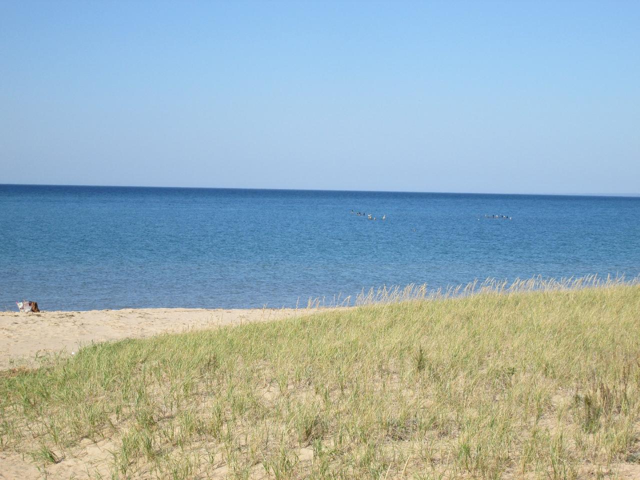
The beach is on the north edge of downtown Elk Rapids, a short walk from River Street and the shops. Follow Dexter Street to the dam and turn onto Dam Road, which leads to a small gravel lot with restrooms and a picnic area by the tailrace. The Village describes the park as off Ames Street. The sand runs west from the river mouth toward the breakwater of the Edward C. Grace Memorial Harbor, and dune grass backs the upper beach. If the lot is full, there is public parking downtown and at the harbor.
Swimming here is in open Great Lakes water. The bottom is sand and shelves gradually, so you can wade out a fair distance before it gets deep, and a few old pier pilings stand offshore that strong swimmers sometimes head out to. East Bay is cold early in the season and usually warms into the upper 60s or low 70s Fahrenheit by late July and August. Expect waves and some longshore drift on windy days. The Village lists no lifeguard and no posted swim season for this beach, so you swim at your own risk.
There is no entry fee. The Village does not list Dam Beach among any paid or reserved facilities, and its parks are used first come, first served. No posted hours were found for the beach itself, so treat it as a daytime park and follow any signs at the lot.
The main hazard is the dam outflow. Water leaving the turbines and spillway moves fast through the channel below the powerhouse, and flows can change when the operator adjusts the gates, so keep out of the river channel and swim on the bay side well west of the mouth. The tailrace is one of the busiest shore fishing spots in the area, which means lines, hooks and lures in the water near the dam. Dam Beach does not appear on the Health Department of Northwest Michigan's list of sampled Antrim County beaches, so there is no regular E. coli testing here. Avoid swimming for a day or two after heavy rain, and check the state BeachGuard map for nearby Elk Rapids results before you go.
Anglers work the water below the dam for salmon, trout, walleye and smallmouth bass in season, and kayakers launch from the harbor and the boat ramps beside the dam to paddle the bay or portage up into Elk Lake. The beach looks north and west across the bay, so evenings here bring sunsets over the water. Downtown Elk Rapids, the marina and Veterans Memorial Park, the Village's main swimming beach, are all within a few blocks.
More Information
Beach bum season – The Torch
Are you planning on taking a Michigan road trip this summer? Or are you just missing the beach? Here are the top seven beaches to travel to in Michigan. Vermilion Point Beach If you enjoy rock hunting, this is the beach for you. Located close to Paradise, at an old Coast Guard station, the beach...
https://fsutorch.com/?p=35606Elk Rapids’ Hydroelectric Dam: A Critical Force | Elk-Skegemog Lakes Association
Ever wonder why some lakes that drain to Lake Michigan experience huge water level changes, just like Lake Michigan, during years of drought or heavy rain or snow? Or why Elk and Skegemog lakes and their connecting waters are relatively stable — levels are dropped only about 6-7 inches for winter maintenance. For those stable water levels, we owe huge gratitude to the Elk Rapids’ Hydroelectric Dam owned by Antrim County and operated by Elk Rapids Hydroelectric LLC owned by the Stockhausen family. The dam’s Federal Energy Commission license is in effect through 2045. The following history and description was... Read More »
https://elk-skegemog.org/elk-rapids-hydroelectric-dam-a-critical-force/ER Twp Demographics
ELK RAPIDS TOWNSHIP & ANTRIM COUNTRY DEMOGRAPHICS
https://elkrapids.com/demographics.htmlUnderwater Drone (and Vintage) Photos at Elk Rapids, Michigan
In 1848, the first non-Indian home was built in this Antrim County, Michigan location, which became Elk Rapids. Here are old photos, some underwater drone shots at the dam, and a brief bio...
https://99wfmk.com/elk-rapids-michigan-under-the-dam/
- Plan Ahead and Prepare
- Travel & camp on durable surfaces
- Dispose of waste properly
- Leave what you find
- Minimize campfire impacts
- Respect wildlife
- Be considerate of other visitors
Directions
From Elk Rapids
- Head north on Spruce St toward Ottawa (0.1 mi)
- Turn right onto River St (0.2 mi)
- Turn left onto Dexter St (0.2 mi)
- Sharp left onto Dam Rd (0.1 mi)


Other Swimming Holes and Kayaking Areas Nearby
Richardi Park
Bellaire
11.4 miles NEA free village swimming beach on the Intermediate River impoundment at the head of Richardi Dam, a block north of downtown Bellaire. There is no lifeguard, and the county health department posts weekly E. coli results for this beach all summer.
Canoe, Hike, Kayak, Swim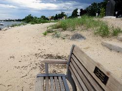
West End Beach
Traverse City
14.2 miles SWA free city beach on the West Arm of Grand Traverse Bay, along Grandview Parkway just west of downtown Traverse City, with open Lake Michigan bay water, sand volleyball and the TART Trail behind it.
Swim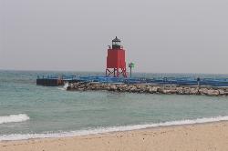
Michigan Beach Park
Charlevoix
29.7 miles NFree city beach on open Lake Michigan beside the Charlevoix South Pier Light, with 2,000 feet of sand, a rocky shoreline band, restrooms and a playground. No dogs, and keep clear of the pier.
Hike, Swim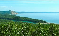
North Bar Lake
Empire
32.1 miles WA small, shallow inland lake in Sleeping Bear Dunes National Lakeshore near Empire, warmer than Lake Michigan and separated from it by a low sand bar you can walk across in a couple of minutes.
Canoe, Kayak, Swim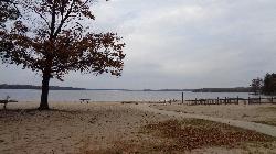
Otsego Lake State Park
Gaylord
35.4 miles EA Michigan DNR state park beach on the southeast shore of Otsego Lake south of Gaylord, with a buoyed sandy swim area. A Recreation Passport is required for vehicle entry.
Camp, Canoe, Kayak, Swim
Sleeping Bear
Honor, Michigan
38.2 miles WSwim near Honor, Michigan
Swim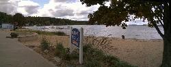
Beulah Public Beach
Beulah
38.5 miles SWA free village beach at the east end of Crystal Lake, with several hundred feet of sand and a marked swim area that shelves out shallow and warm. The Village of Beulah owns it and charges nothing to swim or to park, but dogs are banned and the weekly E. c
Canoe, Hike, Kayak, Swim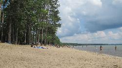
North Higgins Lake State Park Beach
Roscommon
42.1 miles SEThe buoyed sand swim beach at North Higgins Lake State Park, on the clear, spring-fed north shore of Higgins Lake about nine miles west of Roscommon. Open 8 a.m. to 10 p.m.; vehicles need a Michigan Recreation Passport.
Camp, Canoe, Hike, Kayak, Swim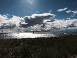
Frankfort Lake Michigan Beach
Frankfort
45.0 miles SWFrankfort's free city beach on Lake Michigan at the west end of Main Street, with soft sand, a playground and swings, and the pier out to the North Breakwater Light. Unguarded; watch the SwimSmart warning lights.
Hike, SwimNearby Campsites
Otsego Lake State Park
Gaylord
35.4 miles EA Michigan DNR state park beach on the southeast shore of Otsego Lake south of Gaylord, with a buoyed sandy swim area. A Recreation Passport is required for vehicle entry.
Camp, Canoe, Kayak, Swim
North Higgins Lake State Park Beach
Roscommon
42.1 miles SEThe buoyed sand swim beach at North Higgins Lake State Park, on the clear, spring-fed north shore of Higgins Lake about nine miles west of Roscommon. Open 8 a.m. to 10 p.m.; vehicles need a Michigan Recreation Passport.
Camp, Canoe, Hike, Kayak, Swim


