


Greer Crossing, Eleven Point River
Alton
Camp, Canoe, Hike, Kayak, and Swim
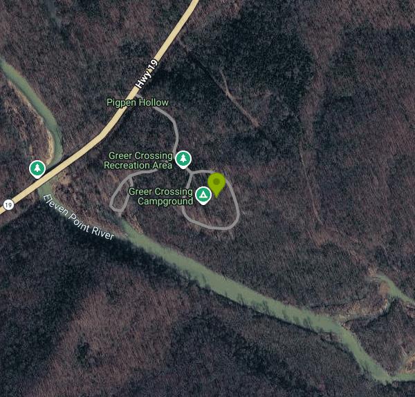
Greer Crossing sits on the Eleven Point River where Missouri Highway 19 crosses it, about ten miles north of Alton in the Mark Twain National Forest. It is the busiest put-in on the 44.4 miles of the Eleven Point that Congress named a National Wild and Scenic River in 1968, one of the original eight rivers in the system. Most of the traffic is canoes and kayaks headed downstream, but the gravel bar and the slow green water beside the concrete ramp are a swimming spot in their own right, and on a July afternoon that is mostly what the bank is being used for.
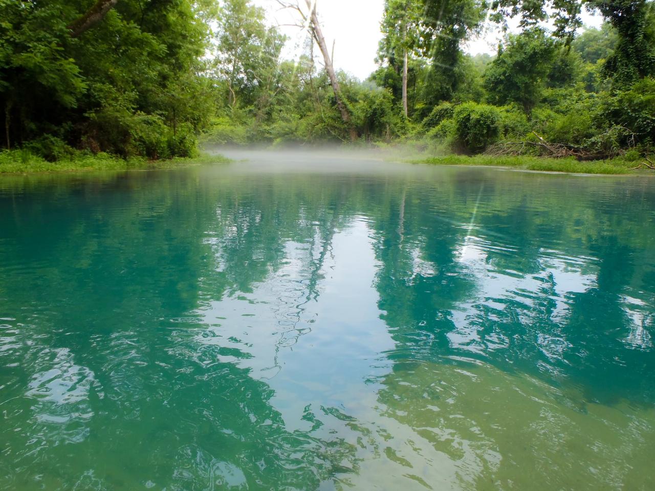
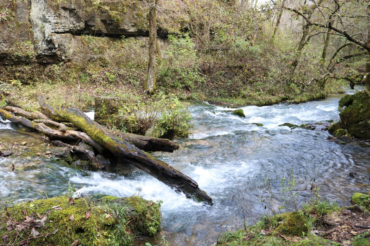
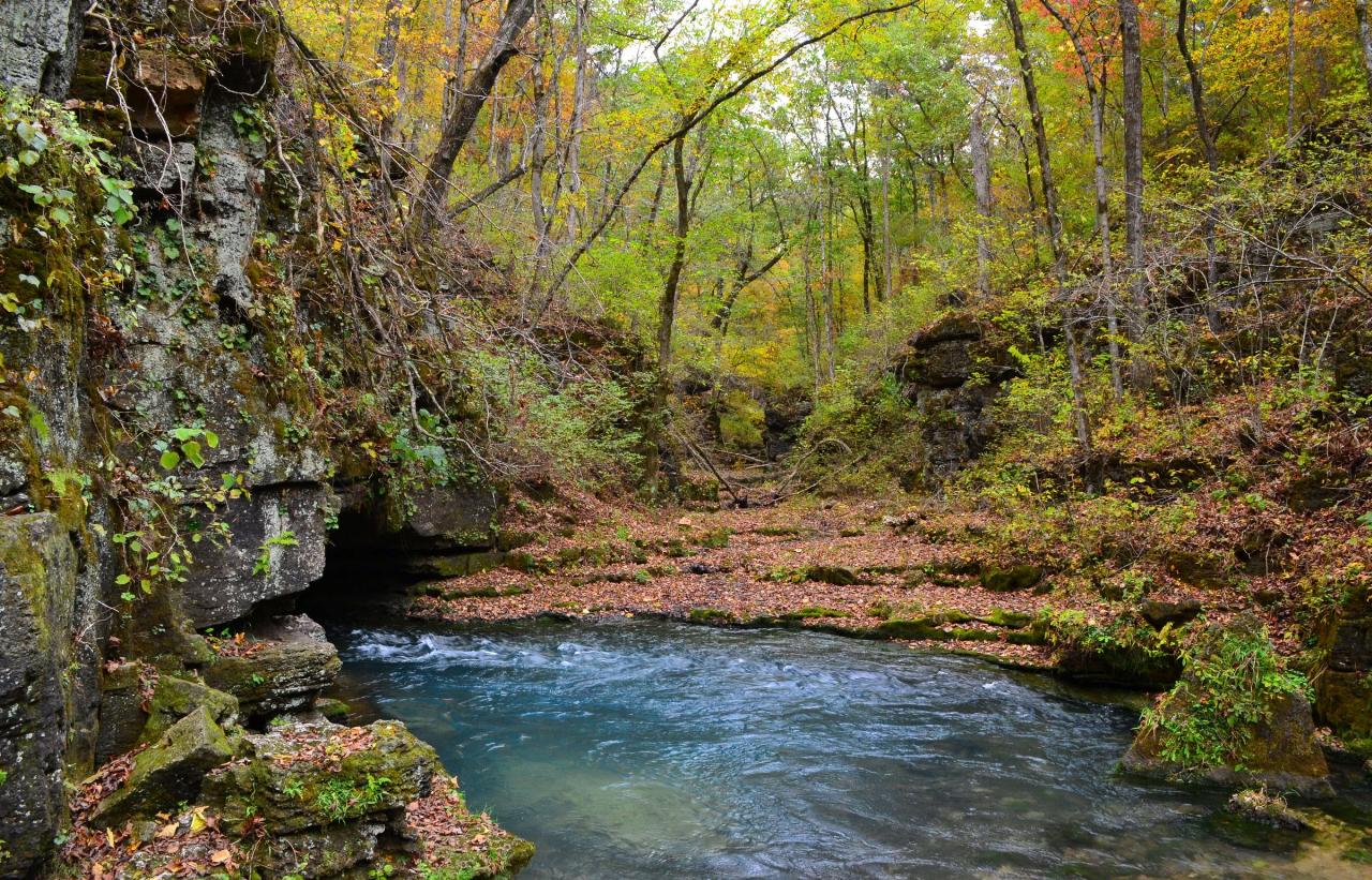
What makes the water here different from the rest of the river is Greer Spring. The spring rises in a wooded box canyon a mile and a quarter upstream, pushes an average of 222 million gallons a day, and its branch drops sixty-two feet through the hollow before joining the Eleven Point just above the Highway 19 bridge. The Forest Service is blunt about the effect: the spring more than doubles the river's flow where the two meet, and it turns the Eleven Point into a cold water stream for miles below. That is why the river runs a clear bottle green past Greer when other Ozark streams are low and warm, and it is also why the first step off the gravel is a shock. Even in August the water below the confluence stays cold enough that people get in, yelp, and get back out before trying again.
Swimming here is allowed but informal. The Forest Service says plainly that you can swim in the river and that there are no designated swimming areas, so expect no roped-off beach, no lifeguard and no marked depth. The pool below the ramp is deep enough to swim, and it shallows onto gravel on the inside of the bend, which gives a family some standing room. Footing is rounded chert and limestone cobble, and the current keeps moving even where the surface looks still.
No site along the Eleven Point charges a day use fee, so the parking, the ramp, the vault toilets and the picnic area at Greer Crossing cost nothing. The campground on the river bank has 16 single sites at $10 a night and 3 double sites at $20, first come first served, with drinking water turned on roughly April through November. The McCormack-Greer Trail leaves from the recreation area and runs about four miles along the river and up through the hills to McCormack Lake.
Two things worth knowing. Swimming, wading and floating are prohibited in Greer Spring itself and in its spring branch, so the steep 0.9 mile trail down to the spring from the Highway 19 trailhead is for looking, not for getting in. And roughly half the land inside the designated corridor is private ground held under scenic easement where public entry is not allowed, so once you leave Greer Crossing, stay on the water or on marked national forest ground.
More Information
Be courteous, informed, and prepared. Read trailhead guidelines, stay on the trail, and don't feed the wildlife.
Read More
- Plan Ahead and Prepare
- Travel & camp on durable surfaces
- Dispose of waste properly
- Leave what you find
- Minimize campfire impacts
- Respect wildlife
- Be considerate of other visitors
Directions
- Get directions on Google Maps
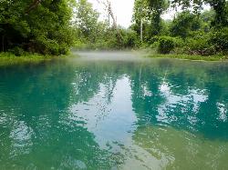
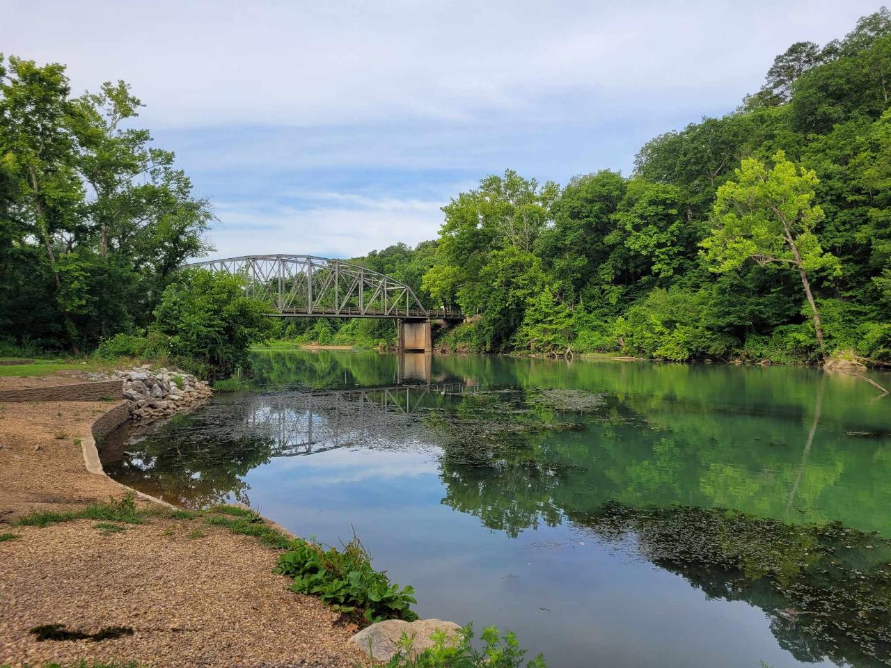
 The clear green water of the Eleven Point River in southern Missouri. courtesy of Charlie Llewellin from Austin, USA↗ (CC BY-SA 2.0↗)
 Greer Spring, whose branch more than doubles the Eleven Point's flow just above Greer Crossing. courtesy of usfs_Eastern_Region↗ (Public domain↗)
 Riverton Access downstream on the Eleven Point, a typical Forest Service gravel and concrete river a courtesy of DeeDotEssKay↗ (CC0↗)
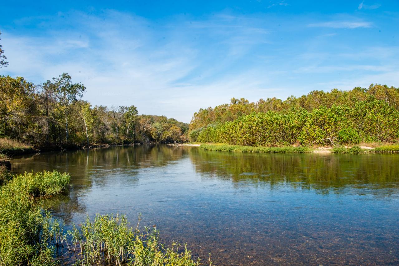
 Gravel bar and open water on the Eleven Point River in Oregon County, Missouri. courtesy of mostateparks↗ (Public domain↗)
 Greer Spring emerging at the base of its bluff in late October. courtesy of Kbh3rd↗ (CC BY 3.0↗)
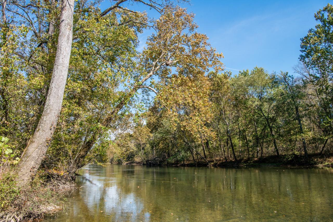
 Sycamores leaning over the Eleven Point River in the Ozark hills. courtesy of mostateparks↗ (Public domain↗)
Other Swimming Holes, Hiking Trails, Canoeing Areas, and Kayaking Areas Nearby

Alley Spring Swimming Hole (Jacks Fork)
Eminence, Missouri
25.3 miles NGravel-bar swimming hole on the spring-fed Jacks Fork at Alley Spring in Ozark National Scenic Riverways, a short walk from the campground and the red 1894 Alley Mill.
Camp, Canoe, Hike, Kayak, Swim
Spring River
Mammoth Spring, Arkansas
30.0 miles SSwim near Mammoth Spring, Arkansas
Swim
Round Spring Campground
Eminence, Missouri
34.1 miles NTwo of America's most beautiful spring-fed rivers meet in forested Ozark National Scenic Riverways at Round Spring — offering swimming, canoeing, hiking, horseback riding, and wildlife viewing.
Camp, Canoe
Old Davidsonville State Park
Walnut Ridge, Arkansas
46.9 miles SSwim near Walnut Ridge, Arkansas
SwimNearby Campsites
Alley Spring Swimming Hole (Jacks Fork)
Eminence, Missouri
25.3 miles NGravel-bar swimming hole on the spring-fed Jacks Fork at Alley Spring in Ozark National Scenic Riverways, a short walk from the campground and the red 1894 Alley Mill.
Camp, Canoe, Hike, Kayak, Swim
Round Spring Campground
Eminence, Missouri
34.1 miles NTwo of America's most beautiful spring-fed rivers meet in forested Ozark National Scenic Riverways at Round Spring — offering swimming, canoeing, hiking, horseback riding, and wildlife viewing.
Camp, Canoe


