


Rocky Falls
Winona
Hike and Swim
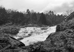
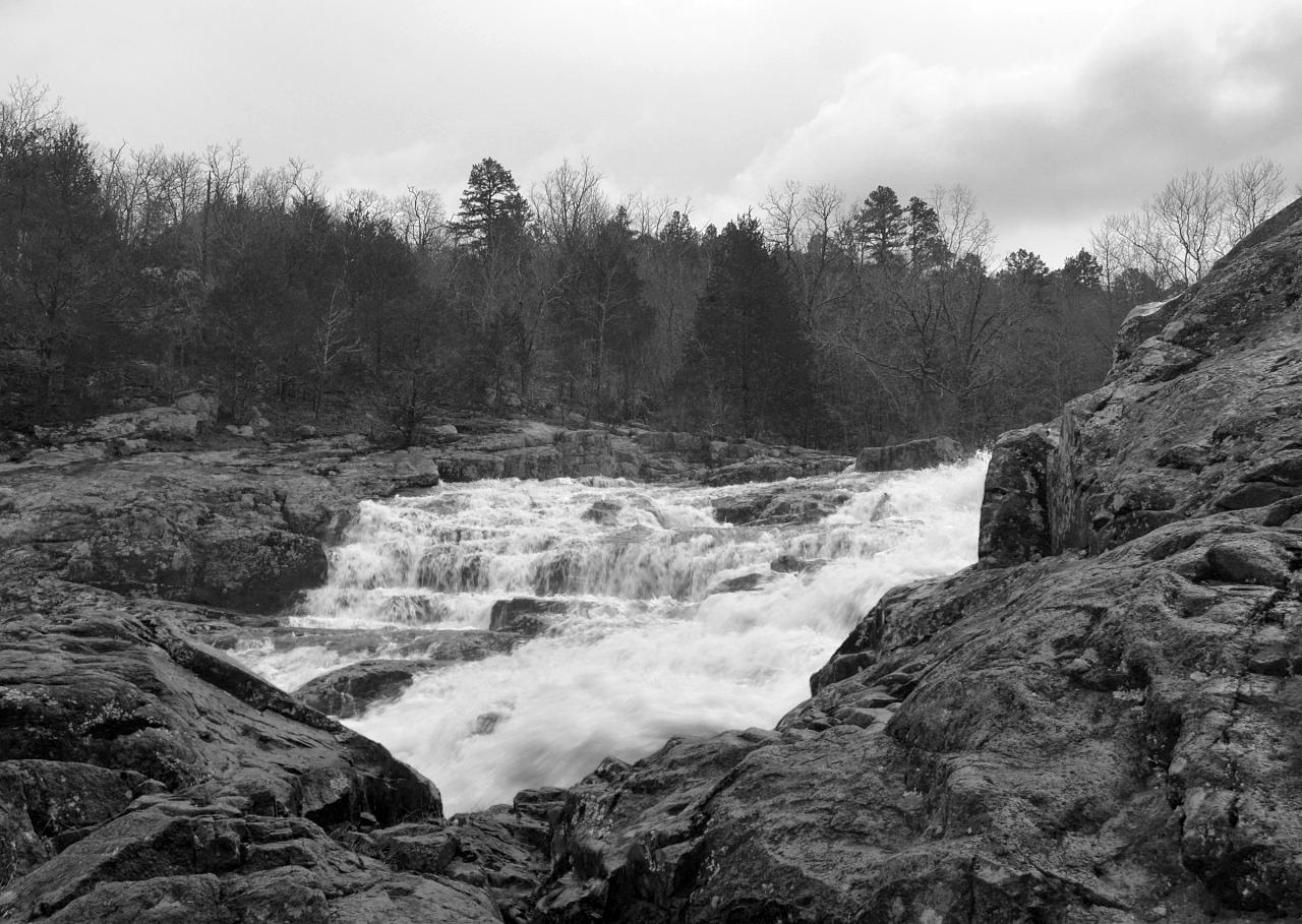
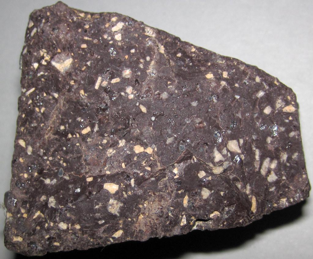
Rocky Falls is a day-use area of Ozark National Scenic Riverways, the National Park Service unit that protects the Current and Jacks Fork rivers in southern Missouri. Rocky Creek, a tributary of the Current River, drops roughly 40 feet down a chute of pink and reddish-brown rhyolite porphyry before spreading into a broad pool at the base. Geologists call this kind of spot a shut-in: the hard volcanic rock, about 1.5 billion years old, keeps the creek squeezed into its cracks instead of letting it carve a wide valley. The falls also anchor the Missouri Department of Conservation's Stegall Mountain Natural Area. The NPS lists the site as a popular swimming hole in spring and summer.
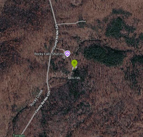
The falls sit in Shannon County, about 8.5 miles northeast of Winona and 9 miles southeast of Eminence. The NPS gives the location as State Highway NN, Winona, MO 65588. From Highway NN, a short county road (NN-526) leads to a small parking lot. A short path runs from the lot to the pool, so there is almost no hike involved. The site has vault toilets including an accessible restroom, picnic tables, grills, trash cans, a bulletin board and a trailhead register. Expect a crowd on hot summer weekends, and arrive early if you want a parking spot.
The swimming happens in the pool below the cascade, where the creek spreads out after leaving the rhyolite. The bottom is rock and gravel, and depth changes with the water level, so check it before you get in and don't dive or jump: rocks and logs hide under the surface. Rocky Creek runs clear and cool. Flow depends heavily on recent rain. After a storm the falls run hard and fast, and in late summer or a dry fall the cascade can shrink to a trickle, though the pool usually still holds water. There are no lifeguards. The wet rhyolite is slick, so climbing or sliding on the falls carries real risk. Water shoes help on the rock.
Entry is free. Ozark National Scenic Riverways charges no entrance fee and no pass is required. Fees in the park apply only to developed campgrounds, pavilion reservations and Round Spring Cave tours, none of which apply here. The NPS page doesn't post hours for Rocky Falls. Treat it as a daytime spot, and note that there is no camping at the falls themselves. The creek can flood quickly in heavy rain. For river closures and flood conditions, the park points visitors to its Facebook page, park headquarters at 573-323-4236, or park dispatch at 844-460-3604.
Rocky Falls connects to the Current River Section of the Ozark Trail by a spur that starts at the parking area. Rangers have led a 3.1-mile hike from the falls to Klepzig Mill, built in 1928 farther down Rocky Creek. The Mill Mountain shut-ins sit about 2.5 miles downstream of the falls, with the mill just below them. Stegall Mountain rises behind the falls with open rhyolite glades and long views. Much of that mountain is in Peck Ranch Conservation Area, which closes to hikers on some fall hunting weekends. Canoe and float access on the Current River is a short drive away.
More Information
Be courteous, informed, and prepared. Read trailhead guidelines, stay on the trail, and don't feed the wildlife.
Read More
- Plan Ahead and Prepare
- Travel & camp on durable surfaces
- Dispose of waste properly
- Leave what you find
- Minimize campfire impacts
- Respect wildlife
- Be considerate of other visitors
Directions
- Get directions on Google Maps



Other Swimming Holes and Hiking Trails Nearby

Alley Spring Swimming Hole (Jacks Fork)
Eminence, Missouri
13.4 miles WGravel-bar swimming hole on the spring-fed Jacks Fork at Alley Spring in Ozark National Scenic Riverways, a short walk from the campground and the red 1894 Alley Mill.
Camp, Canoe, Hike, Kayak, Swim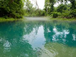
Greer Crossing, Eleven Point River
Alton
21.8 miles SGreer Crossing is the Forest Service access on the Eleven Point River where Highway 19 crosses, ten miles north of Alton. Greer Spring joins just upstream and more than doubles the flow, so the water runs cold, clear and green, day use is free, and campin
Camp, Canoe, Hike, Kayak, Swim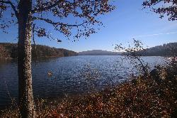
Chapel Hill Beach
Belgrade
47.0 miles NForest Service sand beach on 440-acre Council Bluff Lake in the Mark Twain National Forest near Belgrade, with a bathhouse and concession stand. Seasonal; day use is $5 per vehicle.
Camp, Canoe, Hike, Kayak, SwimNearby Campsites
Alley Spring Swimming Hole (Jacks Fork)
Eminence, Missouri
13.4 miles WGravel-bar swimming hole on the spring-fed Jacks Fork at Alley Spring in Ozark National Scenic Riverways, a short walk from the campground and the red 1894 Alley Mill.
Camp, Canoe, Hike, Kayak, Swim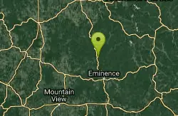
Round Spring Campground
Eminence, Missouri
17.0 miles NWTwo of America's most beautiful spring-fed rivers meet in forested Ozark National Scenic Riverways at Round Spring — offering swimming, canoeing, hiking, horseback riding, and wildlife viewing.
Camp, Canoe
Greer Crossing, Eleven Point River
Alton
21.8 miles SGreer Crossing is the Forest Service access on the Eleven Point River where Highway 19 crosses, ten miles north of Alton. Greer Spring joins just upstream and more than doubles the flow, so the water runs cold, clear and green, day use is free, and campin
Camp, Canoe, Hike, Kayak, Swim
Chapel Hill Beach
Belgrade
47.0 miles NForest Service sand beach on 440-acre Council Bluff Lake in the Mark Twain National Forest near Belgrade, with a bathhouse and concession stand. Seasonal; day use is $5 per vehicle.
Camp, Canoe, Hike, Kayak, Swim


