


7 Hiking Trails near Upper Table Rock
first prev 1 next lastShowing Hiking Trails within 50 miles Distance miles of Upper Table Rock near Eagle Point, Oregon City, Zip, or Address
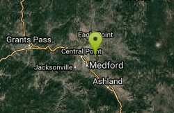
Lower Table Rock
Medford, Oregon
3.4 miles WA moderate 2.7-mile hike gaining 800 feet to the top of Lower Table Rock — historic treaty land now managed by BLM and the Nature Conservancy, with guided tours available.
Hike
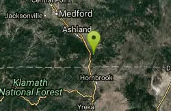
Pilot Rock
Ashland, Oregon
23.2 miles SPilot Rock near Ashland reveals the ancient core of an eroded volcano — its calcite-flecked lava visible from the Shasta Valley and Oregon's Rogue Valley.
Hike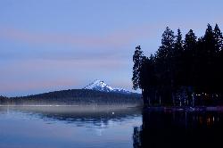
Aspen Point at Lake of the Woods
Klamath Falls, Oregon
26.9 miles EA Forest Service day use area and beach on the northeast shore of Lake of the Woods, high in the southern Oregon Cascades between Medford and Klamath Falls.
Camp, Canoe, Hike, Kayak, Swim 2.4 mi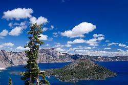
Wizard Island Summit Trail
Crater Lake National Park
48.0 miles NEReach one of the world's finest volcanic cinder cones by boat across Crater Lake, then hike 2.5 miles up lava rock to the Witches Cauldron crater at the summit.
Hike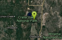
Pinnacles Valley Trail
Chiloquin, Oregon
48.9 miles NEThe Pinnacles Trail follows a canyon rim past hundreds of eerie volcanic spires in Crater Lake National Park's quiet southeast corner.
Hike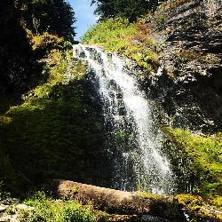
Plaikni Falls
Chiloquin, Oregon
49.4 miles NEAn easy, wheelchair-accessible 2-mile round-trip trail in Crater Lake National Park to a beautiful 20-foot waterfall surrounded by firs, hemlocks, and summer wildflowers.
Hike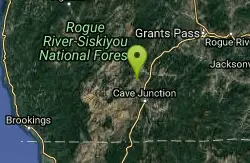
Illinois Hidden Access
Selma, Oregon
49.5 miles WA 30-foot waterfall and spectacular swimming hole deep in the Rogue River canyon — accessed via a 9-mile round-trip hike on a hot, dry, difficult trail; bring plenty of water and be prepared for a workout.
Camp, Hike, Mountain Bike, Swim


