


Lake Willoughby South Beach
Westmore
Canoe, Hike, Kayak, and Swim
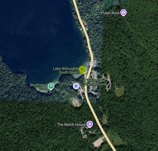
Lake Willoughby South Beach is the public swimming beach at the southern tip of Lake Willoughby in Westmore, Vermont, on land managed by the Vermont Department of Forests, Parks and Recreation as part of the 7,682-acre Willoughby State Forest. It sits where Route 5A comes down off the steep east shore and bends around the foot of the lake, so the walk from the car to the water is short. From Barton, head north on VT-16 for about 7 miles, turn right onto VT-5A South, and follow it about 5.1 miles to the parking lots on the south shore. White Caps Campground is directly across the road.
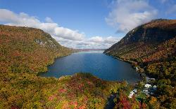
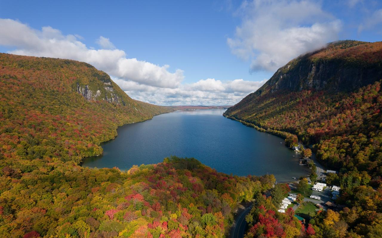
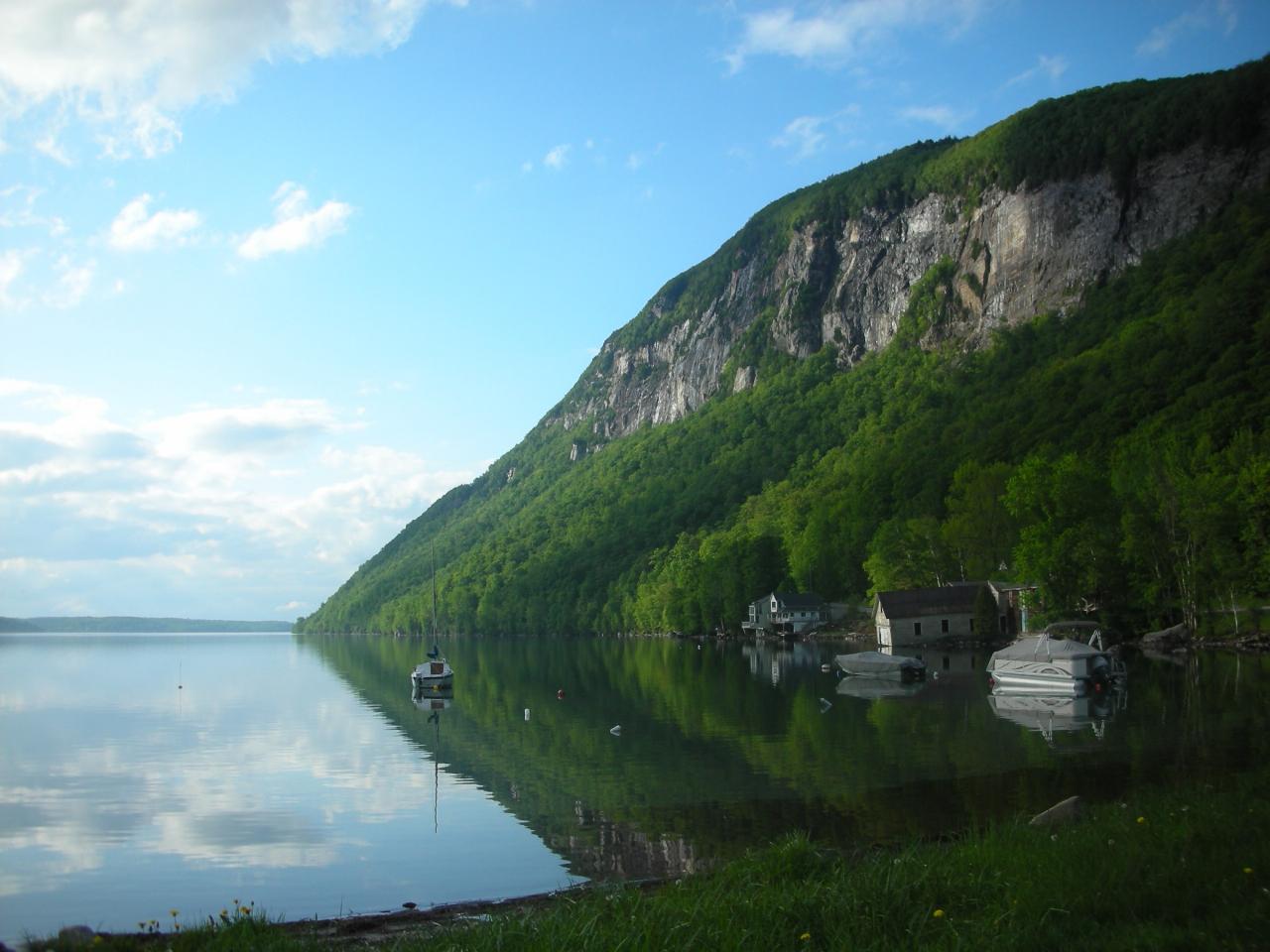
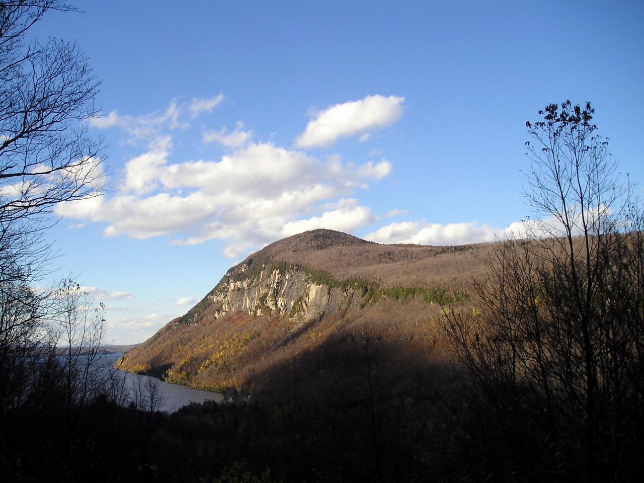
The beach is a narrow strip of shoreline facing north up the full length of the lake, with the cliffs of Mount Pisgah (2,751 feet) rising on the right and Mount Hor (2,648 feet) on the left. Together the two mountains form Willoughby Gap, and the view straight up the water between them is the reason this end of the lake fills up on summer weekends. The lake covers 1,653 acres and drops to a maximum depth of 308 feet, one of the deepest in the northeastern United States, and it is known for its clarity and its cold water. Nothing here is staffed. There are no lifeguards, and the only facilities the state lists at the South End are portable toilets during the summer.
There is no charge to swim or park; the state posts no entrance or parking fee for Willoughby State Forest. Heavy use pushed the department to rebuild the area beginning in fall 2021, with an overflow lot at the ballfields on the west side of Route 5A, two smaller lots closer to the beaches, an ADA-accessible car-top boat ramp and trails, and a boardwalk across the wetland to the West Cove beach. Before the project, cars could drive right down onto the beach by the road. The work was paid for by the Northern Border Regional Commission, the federal Land and Water Conservation Fund, and Vermont State Parks capital funds. Canoes, kayaks and paddleboards can be rented at White Caps.
Two short trails leave from the parking area. The South Beach Trail follows the shore to a view of the Pisgah cliffs, then climbs to meet the more wooded South Shore Trail, which reaches West Cove, a second, smaller beach a short walk west. West Cove is well known as a clothing-optional spot, so anyone after a conventional beach day should stay at the south beach beside the road. Car camping, RV camping and camping near the lake are not allowed anywhere in the forest.
The lake's fjord-like shape comes from a glacial ice lobe that carved through the Willoughby granodiorite between the two mountains. Lake Willoughby is a National Natural Landmark, and its cliffs support arctic and alpine plants and nesting peregrine falcons; the state protects 950 acres of them as the Willoughby Cliffs Natural Area. For a look down on the beach, the Mount Pisgah trail starts across Route 5A from the south end parking and passes Pulpit Rock after about a mile, where a spur leads to an overhang some 650 feet above the water. Anglers come for lake trout, landlocked salmon, rainbow trout and round whitefish, a native fish found in very few other Vermont waters.
More Information
A Lake Willoughby Getaway | Vermont Tourism
Breathtaking views and beautiful beaches set the stage for this Lake Willoughby getaway.
https://vermontvacation.com/lake-willoughby-getaway/Site Improvements Resume at South End of Lake Willoughby: Project Updates Available on Twitter and F
Department Home About the Department Forests State Parks Recreation State Lands Agency Home Project Learning Tree Search Submit Department Home About the Department Forests State Parks Recreation State Lands Agency Home Project Learning Tree Site Improvements Resume at South End of Lake Willoughby: Project Updates Available on Twitter and Forests, Parks & Recreation Website News Tue, 08/02/2022 - 12:00 FOR IMMEDIATE RELEASE –August 2, 2022
https://fpr.vermont.gov/news/lake-willoughby-south-end-site-improvements-resumeVermont Department of Forests, Parks and Recreation Begins Site Improvements at South End of Lake Wi
Department Home About the Department Forests State Parks Recreation State Lands Agency Home Project Learning Tree Search Submit Department Home About the Department Forests State Parks Recreation State Lands Agency Home Project Learning Tree Vermont Department of Forests, Parks and Recreation Begins Site Improvements at South End of Lake Willoughby News Tue, 09/28/2021 - 12:00 FOR IMMEDIATE RELEASE –September 28, 2021
https://fpr.vermont.gov/news/fpr-begins-site-improvements-south-end-lake-willoughbyWilloughby South End Plan On Verge Of Approval | Local News | caledonianrecord.com
WESTMORE — Construction on the South End of Lake Willoughby is on track to be approved in a matter of days, following decades of talk and over five years of
https://www.caledonianrecord.com/news/local/willoughby-south-end-plan-on-verge-of-approval/article_e5420517-9766-5f5b-82e7-f4e39a91b18e.htmlWilloughby State Forest - South Shore and South Beach Trails - Trail Finder
The South Beach and South Shore Trails create a loop hike that travels out to a stunning view of the cliffs of Mount Pisgah and the shores of the
https://www.trailfinder.info/trails/trail/willoughby-state-forest-south-shore-south-beach-trailsWilloughby State Forest | Department of Forests, Parks and Recreation
Department Home About the Department Forests State Parks Recreation State Lands Agency Home Project Learning Tree Search Submit Department Home About the Department Forests State Parks Recreation State Lands Agency Home Project Learning Tree Willoughby State Forest Newark, Sutton and Westmore; Caledonia and Orleans Counties 7,682 Acres
https://fpr.vermont.gov/willoughby-state-forestBe courteous, informed, and prepared. Read trailhead guidelines, stay on the trail, and don't feed the wildlife.
Read More
- Plan Ahead and Prepare
- Travel & camp on durable surfaces
- Dispose of waste properly
- Leave what you find
- Minimize campfire impacts
- Respect wildlife
- Be considerate of other visitors
Directions
From Westmore
- Head southwest on Hinton Hill Rd/
T-38 (52 ft) - Turn left onto VT-5A SDestination will be on the right(4.1 mi)
 Aerial view north over the south end of Lake Willoughby, with Mount Hor on the left and Mount Pisgah courtesy of King of Hearts↗ (CC BY-SA 4.0↗)
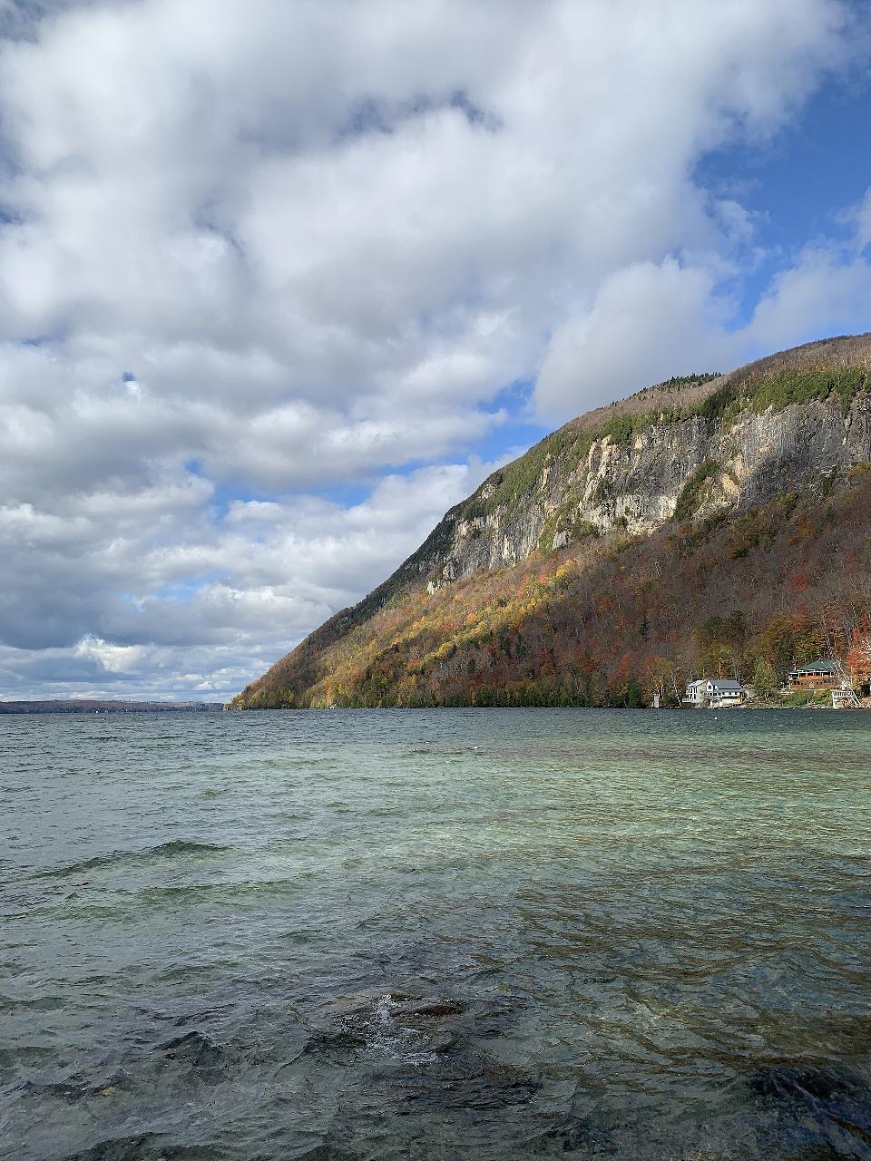
 Clear, shallow water at the south end of the lake below the cliffs of Mount Pisgah courtesy of J. Passepartout↗ (CC BY-SA 4.0↗)
 Mount Pisgah reflected in calm water at the south end of Lake Willoughby courtesy of Lostdrewid↗ (CC BY-SA 3.0↗)
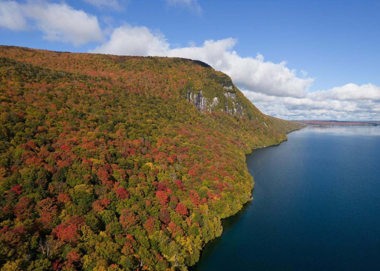
 Aerial view of Mount Hor and the western shore of Lake Willoughby in fall color courtesy of King of Hearts↗ (CC BY-SA 4.0↗)
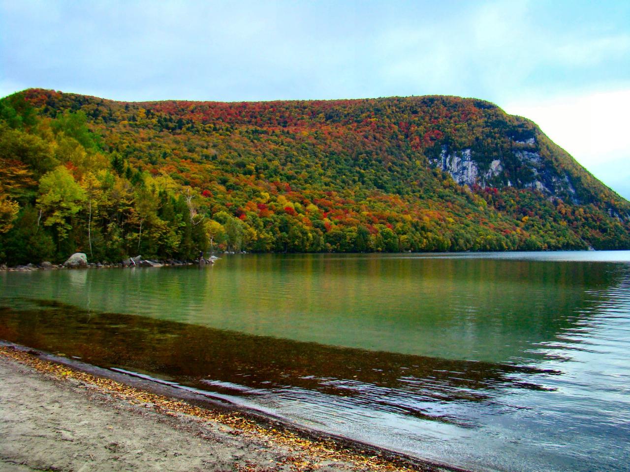
 Mount Hor across the water from a sandy stretch of Lake Willoughby shoreline courtesy of From the nek↗ (CC BY-SA 3.0↗)
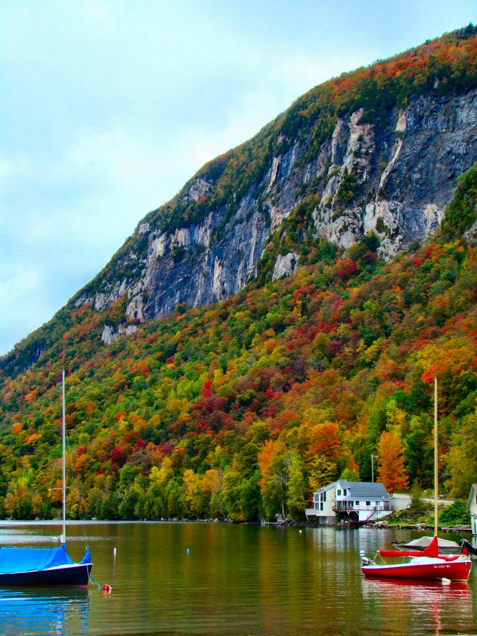
 Sailboats moored below the cliffs of Mount Pisgah on the eastern shore courtesy of From the nek↗ (CC BY-SA 3.0↗)
 Mount Pisgah rising above Lake Willoughby on the east side of Willoughby Gap courtesy of Robert P Ryan↗ (CC BY-SA 2.5↗)
Other Swimming Holes, Hiking Trails, Canoeing Areas, and Kayaking Areas Nearby
Southwest Cove
Westmore
0.2 miles SWA sand beach at the southwest corner of Lake Willoughby in Willoughby State Forest, reached by a short trail from the south end lots. Free, cold, clear water, no lifeguards, and long used as a clothing-optional beach.
Canoe, Hike, Kayak, Swim
Elmore State Park Beach
Lake Elmore
27.4 miles SWSandy, shallow swim beach at the north end of Lake Elmore in Elmore State Park, Vermont, with a CCC-built beach house, boat rentals and a $5 adult day-use fee.
Camp, Canoe, Hike, Kayak, Swim
Fantastic beach
Magog, Québec
38.6 miles NA sandy beach on the shores of Lac Ste. Anne about 60 km west of Edmonton, drawing up to 3,000 visitors on busy summer weekends with shallow, family-friendly water.
Swim
Swiftwater Bridge
Bath, New Hampshire
40.5 miles SSwim near Bath, New Hampshire
Swim
Weare
Bath, New Hampshire
40.5 miles SSwimmable river pools up to 4 feet deep along a Weare, New Hampshire roadside, including a 30-foot-wide section with a rope swing — rocky terrain means caution is advised, especially for small children.
Swim
Horseshoe Falls
Lincoln, New Hampshire
43.9 miles SECLOSED. Private Property. Closed to the public due to vandalism. Please take better care of areas we're permitted to use.
Swim
Falling Waters
Lincoln, New Hampshire
43.9 miles SESwim near Lincoln, New Hampshire
Swim
Lincoln Area
Lincoln, New Hampshire
43.9 miles SEA cluster of swimming options near the busy tourist town of Lincoln, New Hampshire — some spots clothing-optional; see local listings for details.
Swim
Kancamagus Area
Lincoln, New Hampshire
47.9 miles SESwim near Lincoln, New Hampshire
Swim
Gorham Area
Lincoln, New Hampshire
48.4 miles SESwim near Lincoln, New Hampshire
SwimNearby Campsites
Elmore State Park Beach
Lake Elmore
27.4 miles SWSandy, shallow swim beach at the north end of Lake Elmore in Elmore State Park, Vermont, with a CCC-built beach house, boat rentals and a $5 adult day-use fee.
Camp, Canoe, Hike, Kayak, Swim
Maple Haven Campground
Woodstock, New Hampshire
48.4 miles SA private 28-acre campground tucked in the heart of New Hampshire's White Mountains with breathtaking views, untouched nature, and both indoor and outdoor camping options.
Camp


