Morrell Falls National Recreation Trail
Condon, Montana

| Address: | Morrell Falls National Recreation Trail, Condon, MT 59826, USA |
| GPS: |
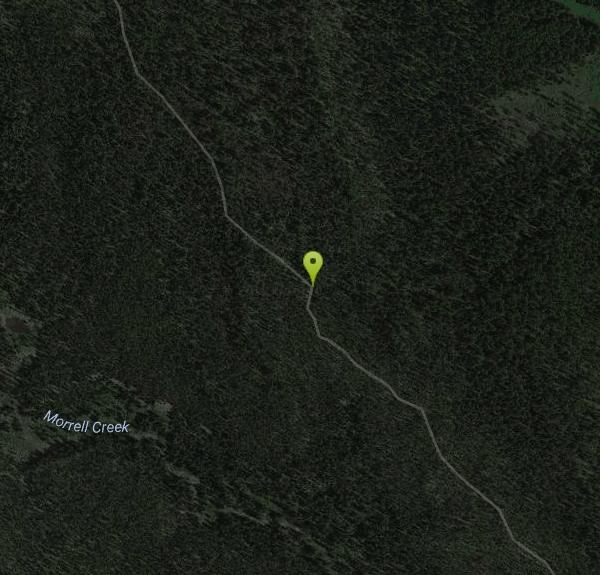
47°17'6.9"N 113°27'49.3"W Maps | Directions |
| State: | Montana |
Waterfalls Trails
Backpack, Camp, and Hike
The Morrell Falls National Recreation Trail is one of the most popular and rewarding family hikes in Montana's Seeley-Swan Valley — an easy walk through cool coniferous forest to a spectacular 90-foot double waterfall. Tucked into the mountains of the Lolo National Forest just outside the town of Seeley Lake, it packs an outsized scenic payoff into a gentle, well-graded trail that almost anyone can enjoy, which is exactly why it earns its federal National Recreation Trail designation.
The route runs about 5.4 miles round trip over mostly flat terrain, winding through classic Montana lodgepole-and-larch forest and past two pretty mountain lakes. You'll reach little Morrell Lake at about 2.3 miles — a lovely spot to pause, with the surrounding peaks mirrored in the water — before the trail continues to the falls just beyond the lake's northeast corner. There, Morrell Creek, fed by the high country of Grizzly Basin, tumbles over a cliff in two dramatic tiers into a mist-filled pool. In spring the falls thunder with snowmelt; by late summer they settle into a graceful double cascade; and in the depths of a hard winter they freeze into a spectacular curtain of ice that draws ice climbers. In autumn the larch (tamarack) needles turn brilliant gold, making a late-September hike especially beautiful.
To find the trailhead, drive north from the town of Seeley Lake to Forest Road 477, turn east about a mile to Forest Road 4353, then head north roughly five miles to the signed Morrell Falls trailhead. It's a well-used, well-marked path, easy to follow, with a vault toilet at the trailhead but no water, so come prepared.
A serious note: this country sits right up against the enormous Bob Marshall Wilderness and is prime grizzly and black bear habitat — the drainage is even named for Grizzly Basin. Carry bear spray and know how to use it, make plenty of noise on the trail (especially near running water, where bears can't hear you coming), hike in a group when you can, and never leave food unattended. The trail is best from late spring through fall, once the access roads and higher ground have melted out; in early season expect mud, downed timber, and lingering snow near the falls.
Bring water, bug spray for the fierce early-summer mosquitoes, layers for the changeable mountain weather, and a camera. Watch your footing on the wet, slick rocks near the base of the falls, keep a close eye on children around the water and the cliff edges, and pack out everything you bring — this is a heavily loved trail, and it stays beautiful only because visitors treat it well. Whether you're after a mellow family outing, a trail run, or simply one of the prettiest short hikes in western Montana, Morrell Falls delivers.
More Information
Lolo National Forest : Recreation
Find and Discover Recreation Sites and Trails in Lolo National Forest
https://www.fs.usda.gov/r01/lolo/recreationMorrell Falls National Recreation Trail | Visit Montana
Morrell Falls National Recreation Trail is one of the most popular trails on the Seeley Lake Ranger District. This 5 mile round trip hike leads to Morrell Lake and beautiful Morrell Falls at the base of the Swan Mountain Range.
https://visitmt.com/listing/morrell-falls-national-recreation-trail-4094Be courteous, informed, and prepared. Read trailhead guidelines, stay on the trail, and don't feed the wildlife.
Read More
- Plan Ahead and Prepare
- Travel & camp on durable surfaces
- Dispose of waste properly
- Leave what you find
- Minimize campfire impacts
- Respect wildlife
- Be considerate of other visitors
Directions
From Condon, Montana
- Head east on Glacier Creek Rd toward MT-83 N (157 ft)
- Turn right onto MT-83 S (27.1 mi)
- Turn left onto Morrell Creek Rd (1.2 mi)
- Turn left (1.5 mi)
- Continue straight (5.1 mi)
- Turn right (0.2 mi)