


River Point Campground
Seeley Lake
Camp, Canoe, Hike, Kayak, and Swim
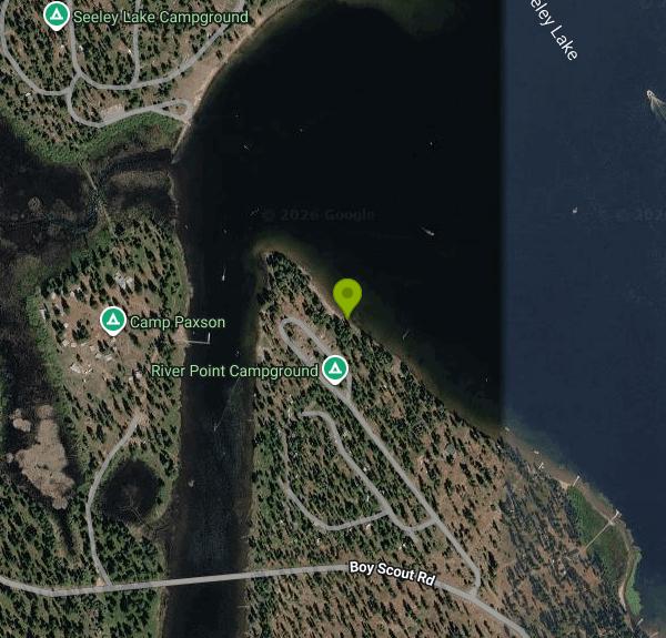
River Point Campground is a U.S. Forest Service campground and picnic area on the west shore of Seeley Lake, run by the Seeley Lake Ranger District of the Lolo National Forest. It sits on the point where the Clearwater River leaves the lake, about 2 miles by road northwest of the town of Seeley Lake. Seeley Lake is a natural glacial lake of roughly 1,000 acres at close to 4,000 feet, part of the Clearwater chain of lakes, with the Swan Range rising behind its eastern shore. The swimming is at the River Point Picnic Area, a stretch of beach between the campground loop and the lake.
From Missoula, take I-90 east to exit 109, follow MT-200 east for about 32 miles, then turn north on MT-83 for 14 miles into Seeley Lake. In town, turn left on Boy Scout Road and go about 2.1 miles, then turn right at the River Point sign. The day-use parking lot is next to the beach, apart from the one-way camping loop. Campers whose extra vehicles don't fit their site park in the same day-use lot, so it fills on hot weekends.
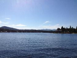
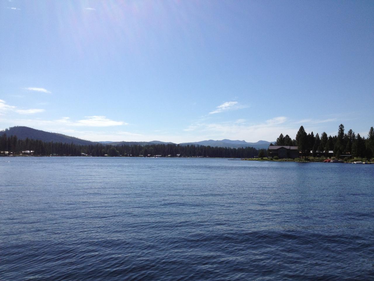
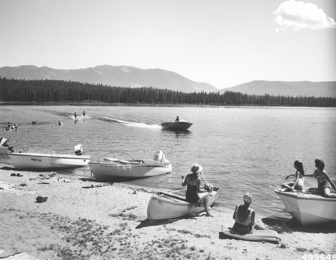
The beach faces northeast across the lake toward the mountains, with shade from the larch and pine behind it. The Forest Service describes a roped swimming area off the day-use beach. There are no lifeguards. Seeley Lake is cold in early summer and warms through July and August. The Clearwater River outlet runs along the west side of the point, and that water moves, so keep kids in the roped area on the lake side rather than in the river channel. Motorboats and water skiers use the lake too.
Day use is free. Recreation.gov's River Point page says no fee or reservation is needed for day use and lists day-use hours of 6 a.m. to 10 p.m. Mountain Time. The fee applies only to camping: the Lolo National Forest lists $20 per night for a single site and $5 for each vehicle beyond two, with the 2026 camping season running May 22 to September 8. The 27 campsites can be reserved on Recreation.gov during the summer. Outside the season the entrance gate is closed and the road isn't plowed, so plan on a summer visit. Pets must be on a 6-foot leash, and the picnic area has tables, fire rings, drinking water and accessible vault toilets near the parking.
Blue-green algae is the main water-quality concern here. Montana DEQ cautions were posted at Seeley Lake in fall 2019 after a bloom at the north end of the lake, and in August 2020 the local paper reported possible blue-green algae in the lake after a dog died following a swim in the river that feeds it. Late summer and fall carry the most risk. If the water looks like pea soup or has green scum, stay out and keep dogs out. This is also bear country, and the forest's food storage order applies at every picnic table and campsite.
There is no boat ramp at River Point, but canoes, kayaks and paddleboards can be carried to the beach, and boat and canoe rentals are in town. The Clearwater Canoe Trail, a slow 3.5-mile paddle through willow marsh on the river above the lake, ends behind the Seeley Lake Ranger Station north of town. The community trail network passes through the campground for walking or biking into town. Old-growth western larch, some over 500 years old, shade the campsites. Bald eagles and osprey fish the lake early and late in the day.
More Information
DEQ issues caution for algae bloom in Seeley Lake - Seeley Swan Pathfinder
SEELEY LAKE - An algae bloom was reported at the north end of Seeley Lake and observed at Big Larch as well. According to Seeley Lake District Ranger
https://www.seeleylake.com/story/2019/10/24/news/deq-issues-caution-for-algae-bloom-in-seeley-lake/5352.htmlLolo National Forest | Clearwater River Canoe Trail #7777A | Forest Service
An official website of the United States government
https://fs.usda.gov/r01/lolo/recreation/trails/clearwater-river-canoe-trail-7777aLolo National Forest | River Point Campground | Forest Service
On the west side of Seeley Lake, this campground and picnic area has a stretch of beach that is a great place for playing in the water or people watching while you relax in the shade of the trees. The campground and picnic area are located where the Clearwater River and Seeley Lake meet.View the site through the interactive map.
https://www.fs.usda.gov/r01/lolo/recreation/river-point-campgroundRiver Point Campground | Visit Montana
River Point Campground is located in the Lolo National Forest in northwest Montana. At an elevation of 3,993 feet, the campground encompasses 8 acres.
https://visitmt.com/listing/river-point-campground-2200River Point Lolo Campground (MT), Lolo National Forest - Recreation.gov
Explore River Point Lolo Campground (MT) in Lolo National Forest, Montana with Recreation.gov. River Point Campground on the West shore of Seeley Lake is bordered by the Clearwater River to the North. Beach-front day-use picnic sites and a roped swimming
https://www.recreation.gov/camping/campgrounds/10107638River Point Picnic Area - Recreation.gov
Explore River Point Picnic Area, Montana with Recreation.gov. On the west side of Seeley Lake, this picnic area has a stretch of beach that is a great place for playing in the water or people watching while you relax in th
https://www.recreation.gov/camping/poi/10134444Warm weather increases risk of Harmful Algal Blooms - Seeley Swan Pathfinder
Summer is in full bloom. Before you take a dip in the lake this summer, state agencies are urging Montanans to know the health risks of Harmful Algal
https://www.seeleylake.com/story/2020/08/13/news/warm-weather-increases-risk-of-harmful-algal-blooms/6351.htmlBe courteous, informed, and prepared. Read trailhead guidelines, stay on the trail, and don't feed the wildlife.
Read More
- Plan Ahead and Prepare
- Travel & camp on durable surfaces
- Dispose of waste properly
- Leave what you find
- Minimize campfire impacts
- Respect wildlife
- Be considerate of other visitors
Directions
From Seeley Lake
- Head west toward Montana Scenic Loop/
Seeley-Swan Scenic Dr (36 ft) - Turn left onto Montana Scenic Loop/
Seeley-Swan Scenic Dr (0.7 mi) - Turn right onto Boy Scout Rd (2.0 mi)
- Turn right (0.2 mi)
- Turn rightDestination will be on the right(338 ft)


Other Swimming Holes, Hiking Trails, Canoeing Areas, and Kayaking Areas Nearby
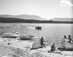
Seeley Lake Campground
Seeley Lake
0.3 miles NWFree Lolo National Forest day-use beach with a roped swim area and boat launch on the west shore of Seeley Lake, reached from the north end of Boy Scout Road since the south bridge closed.
Camp, Canoe, Kayak, Swim
Morrell Falls National Recreation Trail
Condon, Montana
7.1 miles NThe Morrell Falls trail is an easy, popular ~5-mile Swan Valley hike to a spectacular 90-foot double waterfall near Seeley Lake, Montana.
Backpack, Camp, Hike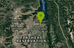
Riverside Park
Polson, Montana
46.3 miles NWSwim near Polson, Montana
SwimNearby Campsites
Seeley Lake Campground
Seeley Lake
0.3 miles NWFree Lolo National Forest day-use beach with a roped swim area and boat launch on the west shore of Seeley Lake, reached from the north end of Boy Scout Road since the south bridge closed.
Camp, Canoe, Kayak, Swim
Morrell Falls National Recreation Trail
Condon, Montana
7.1 miles NThe Morrell Falls trail is an easy, popular ~5-mile Swan Valley hike to a spectacular 90-foot double waterfall near Seeley Lake, Montana.
Backpack, Camp, Hike


