


Natural Bridges
Sonora, California
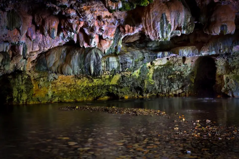
| Address: | Natural Bridges Trailhead, Sonora, CA 95370, USA |
| GPS: |
38°3'6.0"N 120°28'15.4"W Maps | Directions |
| State: | California |
| Trail Length: | 2.50 miles |
| Trail Type: | Out & Back |
| Hike Difficulty: | Beginner |
Picnic Tables
Hike and Swim
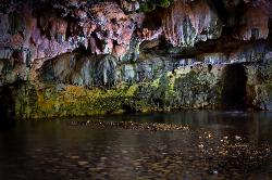
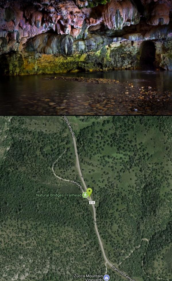
Natural Bridges is one of the most magical swimming spots in California's Gold Country — a pair of massive limestone caverns that Coyote Creek has tunneled straight through the hillside, forming natural rock bridges you can actually swim and float beneath. Hidden in the oak-covered foothills of Calaveras County near Vallecito (between Sonora and Angels Camp), it's a beloved local secret and, unlike most of the region's show caves, completely free and open to the public.
The reward takes a bit of work to reach. From the trailhead off Parrotts Ferry Road, a roughly 2-mile round-trip hike drops down through the hills to the creek and the mouth of the cavern. Along the way you get views of the surrounding country, and the trail continues up and over the top of the bridge for those who want to explore both the water below and the formation above.
At the creek, the real adventure begins. Coyote Creek flows right through the 250-foot travertine cavern, and depending on water levels you can float or swim through the tunnel from one end to the other, drifting through cool, dim chambers and deep green pools with the limestone arching overhead. On a hot Sierra-foothills summer day it's an unforgettable experience — part swimming hole, part cave exploration — and many people bring inflatables to float the passage.
Go carefully, and help protect it. The rocks are slick, the water depth and current change with the season (the creek can run high and cold in spring), and swimming through a dark cavern carries real risk — only go when the water is calm and low enough, never alone, and check depth before jumping anywhere. Just as important, this is a living limestone formation: the oils on human skin, along with graffiti and litter, genuinely damage it, so avoid touching the cave walls where you can, pack out every scrap of trash, and tread lightly. The site is cared for by the Bureau of Reclamation and conservation groups precisely because heavy use threatens it.
There are actually two bridges — an upper and a lower — and Coyote Creek eventually flows on to New Melones Lake. The whole of Calaveras County is honeycombed with caves and caverns, most of them commercial show caves you pay to tour, which makes this free, wild swim-through all the more special.
Timing and preparation matter. Summer into early fall is the prime, safest window, when the creek is low and warm; it also draws crowds, so arrive early. Wear sturdy shoes with grip for the rocky trail and slick cavern, bring water and sun protection for the exposed hike, and consider water shoes and a light for the swim-through. Come respectful and prepared, and Natural Bridges delivers a genuinely rare thrill — swimming through a cave carved by a creek, in the heart of California's historic Gold Country.
More Information
Natural Bridges - a 2-mile hiking trail to beautiful natural bridges
Natural Bridges is a travertine formation - an open cave you can swim or float through - bring your own raft or inner tube. Water is cold!
https://www.gocalaveras.com/business/outdoor-recreation/natural-bridges/Be courteous, informed, and prepared. Read trailhead guidelines, stay on the trail, and don't feed the wildlife.
Read More
- Plan Ahead and Prepare
- Travel & camp on durable surfaces
- Dispose of waste properly
- Leave what you find
- Minimize campfire impacts
- Respect wildlife
- Be considerate of other visitors
Directions
From Sonora, California
- Head north on CA-49 N/S Washington St toward Theall StContinue to follow CA-49 N(2.4 mi)
- Turn right onto Broadway St/Parrotts Ferry RdContinue to follow Parrotts Ferry RdDestination will be on the left(8.1 mi)

Other Swimming Holes and Hiking Trails Nearby
Calaveras Big Trees State Park
Arnold, California
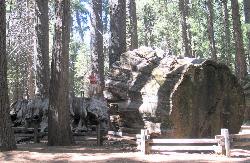
17.9 miles NETwo groves of towering Giant Sequoias — about 100 trees in the North Grove and 1,000 in the South Grove — with boardwalk trails, a famous 24-foot stump you can walk on, and great spring hiking in Northern California gold country.
Hike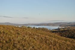
New Hogan Lake
Valley Springs, California
20.5 miles NWNew Hogan Lake is a 4,400-acre reservoir tucked into the golden Sierra Nevada foothills of Calaveras County, California, about 30 miles northeast of Stockton near the little town of Valley Springs....
Backpack, Camp, Hike, Swim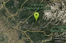
Gods Bath
Phoenix Lake-Cedar Ridge, CA, California
23.2 miles ECrystal-clear but cold water at the bottom of a boulder-hop, rope-assisted descent into Clavey River canyon — cliff jumping, smaller pools on the way, about a mile one way.
Hike, Swim 2.3 mi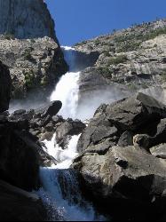
Wapama Falls
Groveland, California
37.9 miles EA 5-mile moderate hike along the Hetch Hetchy reservoir in Yosemite to 1,000-foot Wapama Falls — cross a dam, walk through a tunnel, and prepare to get sprayed by the mist at the bridge below.
Backpack, Hike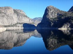
Hetch Hetchy Reservoir
Groveland, California
38.0 miles EHetch Hetchy's longest hiking season in Yosemite leads across the O'Shaughnessy Dam to Wapama Falls, where you're nearly guaranteed to get sprayed — plus day hikes to Smith Peak at 7,751 feet.
Backpack, Hike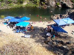
Briceburg Recreation Area
Midpines, California
41.3 miles SEBriceburg is where State Route 140 drops out of the Sierra foothills and meets the Wild and Scenic Merced River, twelve miles east of Mariposa on the road to Yosemite, and it's one of the best public...
Camp, Kayak, Swim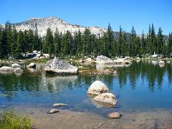
Crane Flat
Big Oak Flat, Yosemite National Park
42.3 miles SEFramed between two giant sequoia groves, Crane Flat meadow is a quiet Yosemite base camp for birding, stargazing, and seasonal hikes to Lukens and Harden Lake.
Backpack, Camp, Hike, Snowshoe
Hite Cove Trail
El Portal, California
42.4 miles SEOne of Yosemite's earliest wildflower blooms lights up the Hite Cove Trail in spring, with the added bonus of watching the South and Central Fork Merced rivers merge.
Hike, Swim
Harden Lake
Big Oak Flat, Yosemite National Park
46.6 miles EA long but gentle 5.8-mile walk down old Tioga Road through granite domes and red fir forest to a serene lake ringed by wildflowers — with optional extension to the Grand Canyon of the Tuolumne.
Backpack, Hike 0.7 mi
Lukens Lake
Tuolumne Meadows, Yosemite National Park
48.7 miles EA short 1.6-mile forest walk to a secluded lake famous for the luminescent shooting stars visible while you swim, plus a wildflower meadow that peaks in July.
Hike, SwimNearby Campsites
New Hogan Lake
Valley Springs, California
20.5 miles NWNew Hogan Lake is a 4,400-acre reservoir tucked into the golden Sierra Nevada foothills of Calaveras County, California, about 30 miles northeast of Stockton near the little town of Valley Springs....
Backpack, Camp, Hike, Swim
Briceburg Recreation Area
Midpines, California
41.3 miles SEBriceburg is where State Route 140 drops out of the Sierra foothills and meets the Wild and Scenic Merced River, twelve miles east of Mariposa on the road to Yosemite, and it's one of the best public...
Camp, Kayak, Swim
Crane Flat
Big Oak Flat, Yosemite National Park
42.3 miles SEFramed between two giant sequoia groves, Crane Flat meadow is a quiet Yosemite base camp for birding, stargazing, and seasonal hikes to Lukens and Harden Lake.
Backpack, Camp, Hike, Snowshoe


