


Navarro Area
Lakeshore, California
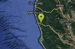
| GPS: |
39°10'43.5"N 123°42'6.5"W Maps | Directions |
| State: | California |
Swim
More Information

- Plan Ahead and Prepare
- Travel & camp on durable surfaces
- Dispose of waste properly
- Leave what you find
- Minimize campfire impacts
- Respect wildlife
- Be considerate of other visitors
Directions
From Lakeshore, California
- Head southeast on Big Creek Rd/Huntington Lake Rd toward Lower Deer Creek Ln (0.8 mi)
- Continue onto CA-168 (35.2 mi)
- Turn right onto CA-168/Lodge RdContinue to follow CA-168(2.7 mi)
- Slight right onto Auberry Rd (9.3 mi)
- Turn right onto Millerton Rd (5.7 mi)
- Turn right onto North Fork Rd (0.6 mi)
- Continue onto Rd 206 (1.6 mi)
- Turn left onto Rd 145 (3.4 mi)
- Continue onto CA-145 S/Hwy 145 S (14.4 mi)
- Turn right onto Tozer St (0.3 mi)
- Continue onto E Cleveland Ave (1.5 mi)
- Turn left onto Cleveland Ave (0.1 mi)
- Turn right to merge onto CA-99 N (21.2 mi)
- Continue onto CA-99 (63.9 mi)
- Take exit 241 for CA-120 W toward Manteca/San Francisco (0.9 mi)
- Continue onto CA-120 W (5.6 mi)
- Take exit 1A on the left to merge onto I-5 S toward San Francisco/Los Angeles (2.3 mi)
- Keep right at the fork to continue on I-205 W, follow signs for San Francisco/Interstate 205/Interstate 580 (13.7 mi)
- Merge onto I-580 W (29.7 mi)
- Keep right at the fork to stay on I-580 W, follow signs for Oakland/San Francisco (15.6 mi)
- Take the I-580 W/I-80 E exit toward Berkeley/Sacramento (0.8 mi)
- Keep left and merge onto I-580 W/I-80 E (3.5 mi)
- Take exit 13B for I-580 toward San Rafael/Point Richmond (0.5 mi)
- Continue onto I-580 WPartial toll road(13.0 mi)
- Merge onto US-101 N (70.8 mi)
- Take exit 522 for CA-128 W toward Fort Bragg/Mendocino (0.2 mi)
- Turn left onto CA-128 W (0.8 mi)
- Turn right to stay on CA-128 WDestination will be on the left(52.3 mi)
to add photos & videos and suggest edits
Edit Review
Delete Review
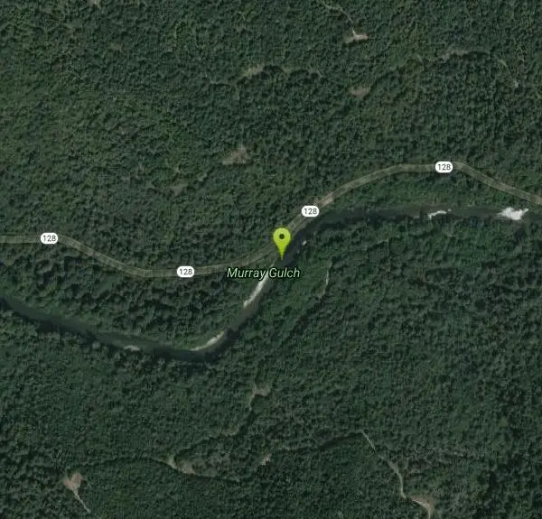
Other Swimming Holes Nearby
Add Location
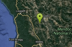
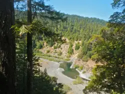
Dos Rios Swimming Hole
Dos Rios, California
41.4 miles NEDos Rios, Spanish for "two rivers," sits at the wild confluence of the Middle Fork and the mainstem of the Eel River in the remote backcountry of northern Mendocino County, California, roughly east...
Swim
Standish-Hickey SRA Swimming Hole
Leggett, California
48.3 miles NA California Redwood belt swimming hole on the South Fork of the Eel River — hike a quarter mile from Redwood Campground to a large pool popular for fishing, floating, and cliff jumping.
Camp, Hike, Swim


